South Newbarns
Settlement in Lancashire Barrow-in-Furness
England
South Newbarns
South Newbarns is a small village located in the county of Lancashire, England. Situated in the northern part of the country, the village lies approximately 10 miles northeast of the city of Preston. With a population of around 500 residents, South Newbarns exudes a serene and picturesque charm that is typical of rural English villages.
The village is nestled amidst rolling hills and lush green fields, offering breathtaking views of the Lancashire countryside. It is characterized by its quaint cottages, many of which date back several centuries, showcasing traditional English architecture. The village center features a few local shops, a post office, and a charming village pub, serving as the heart of the community.
South Newbarns boasts a strong sense of community spirit, with various events and gatherings organized throughout the year. The village is home to an active community center, which hosts a range of activities and clubs catering to different interests and age groups.
Surrounded by natural beauty, South Newbarns offers ample opportunities for outdoor activities. The nearby countryside provides excellent walking and cycling routes, allowing residents and visitors to explore the scenic surroundings. Additionally, the village is in close proximity to several nature reserves, providing habitats for a diverse range of flora and fauna.
Overall, South Newbarns, Lancashire, is a serene and idyllic village that offers a peaceful retreat from the bustling city life, while providing a strong sense of community and a connection to nature.
If you have any feedback on the listing, please let us know in the comments section below.
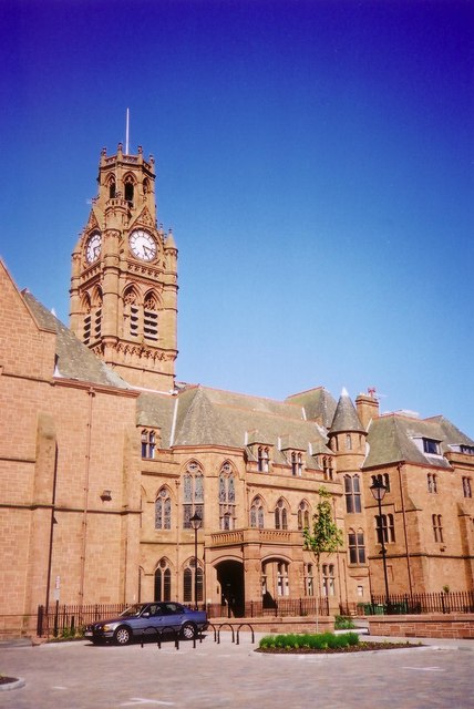
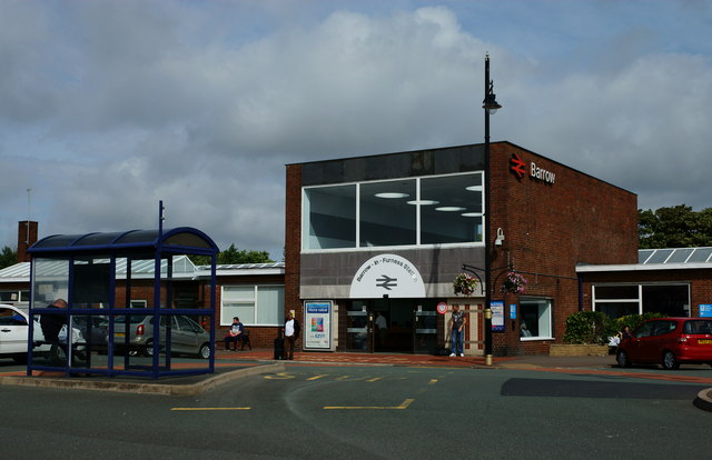
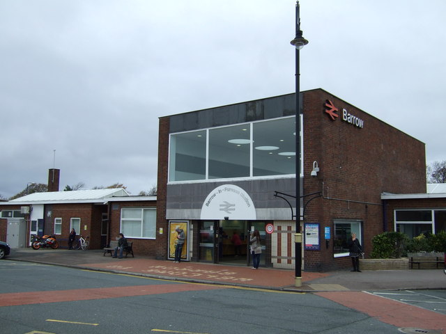
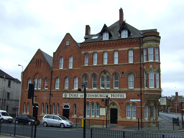
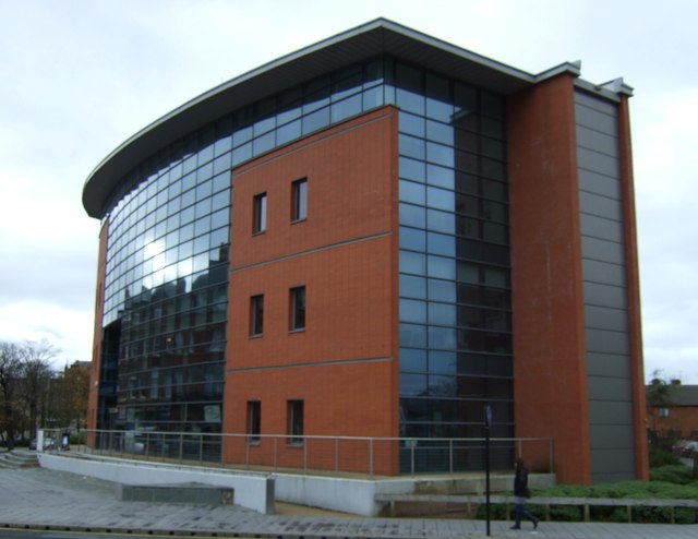
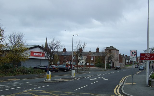
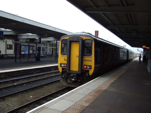
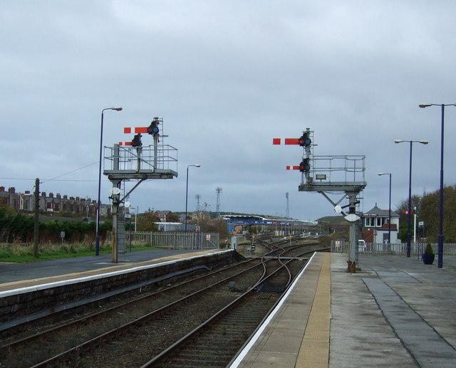
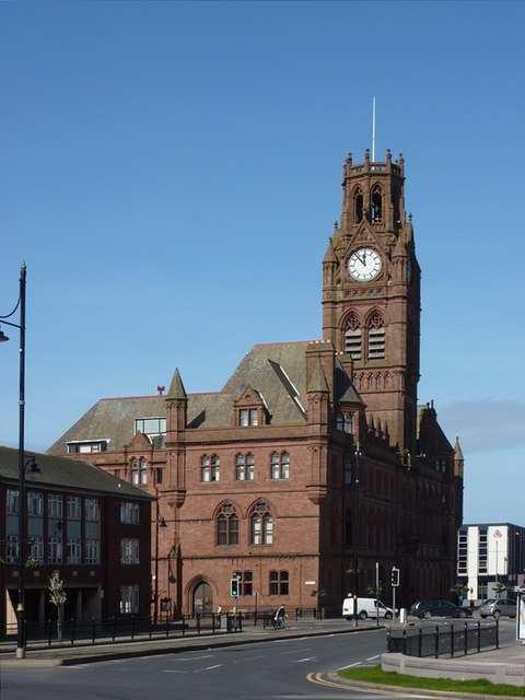
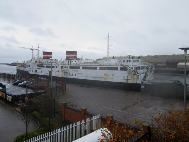
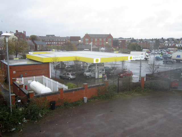
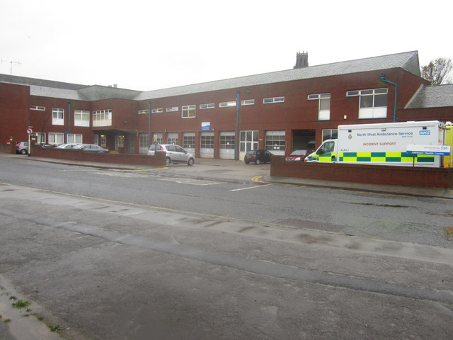
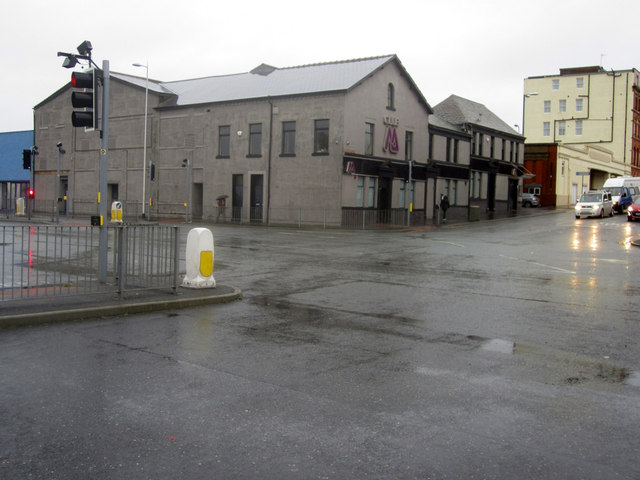
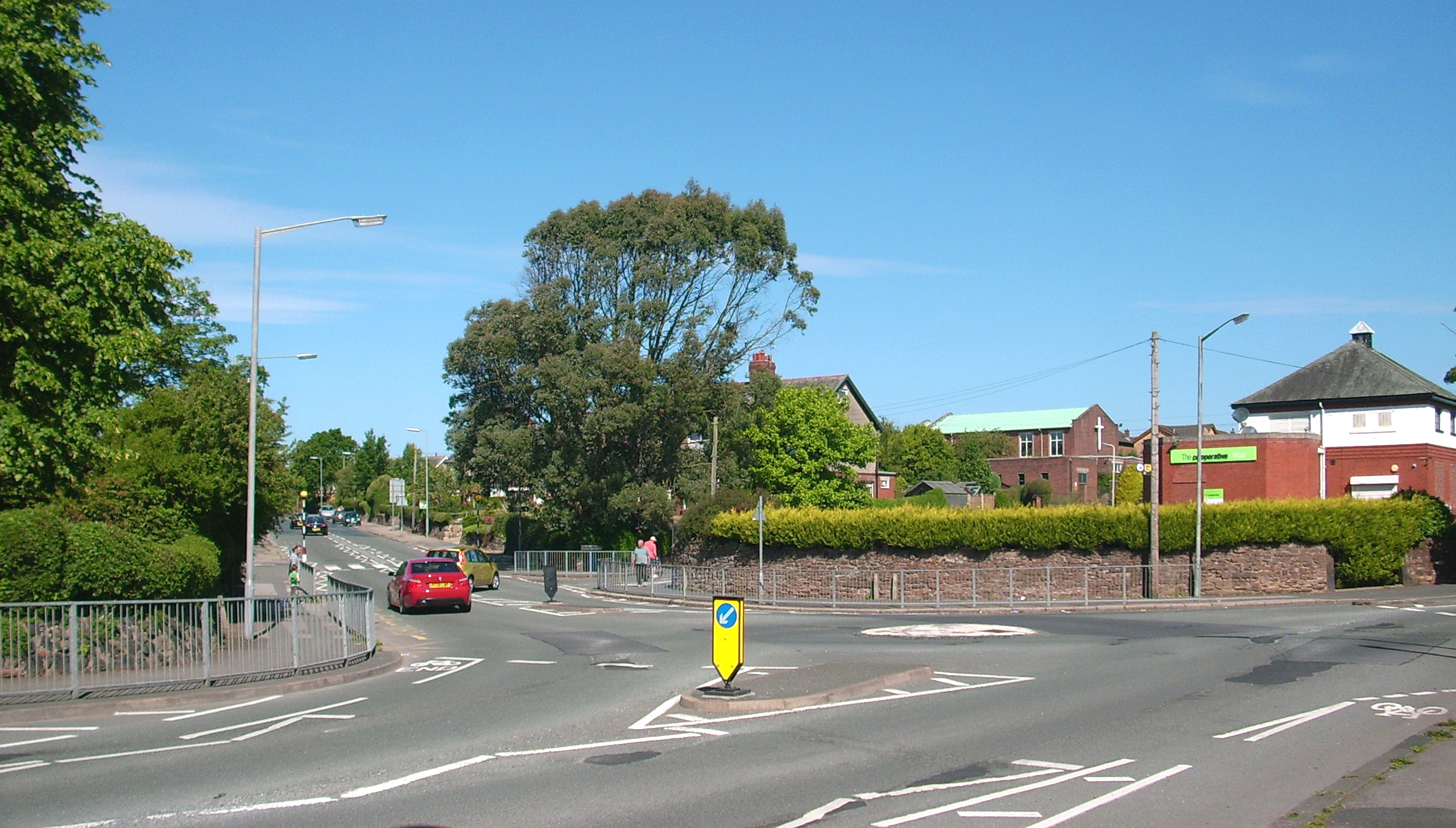
South Newbarns Images
Images are sourced within 2km of 54.117752/-3.205211 or Grid Reference SD2169. Thanks to Geograph Open Source API. All images are credited.

South Newbarns is located at Grid Ref: SD2169 (Lat: 54.117752, Lng: -3.205211)
Administrative County: Cumbria
District: Barrow-in-Furness
Police Authority: Cumbria
What 3 Words
///kite.unless.apples. Near Barrow in Furness, Cumbria
Nearby Locations
Related Wikis
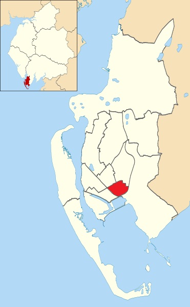
Risedale
Risedale is an area and ward of Barrow-in-Furness, Cumbria, England. It is bordered by Barrow town centre, Parkside, Newbarns and Roose and had a population...

Furness Academy
Furness Academy is a secondary school in Barrow-in-Furness, England. It is the fourth academy to have been formed in the county of Cumbria after the closure...

Parkside, Barrow-in-Furness
Parkside is an area and electoral ward of Barrow-in-Furness, Cumbria, England. It is bordered by Hindpool, Ormsgill, Hawcoat, Newbarns and Risedale and...
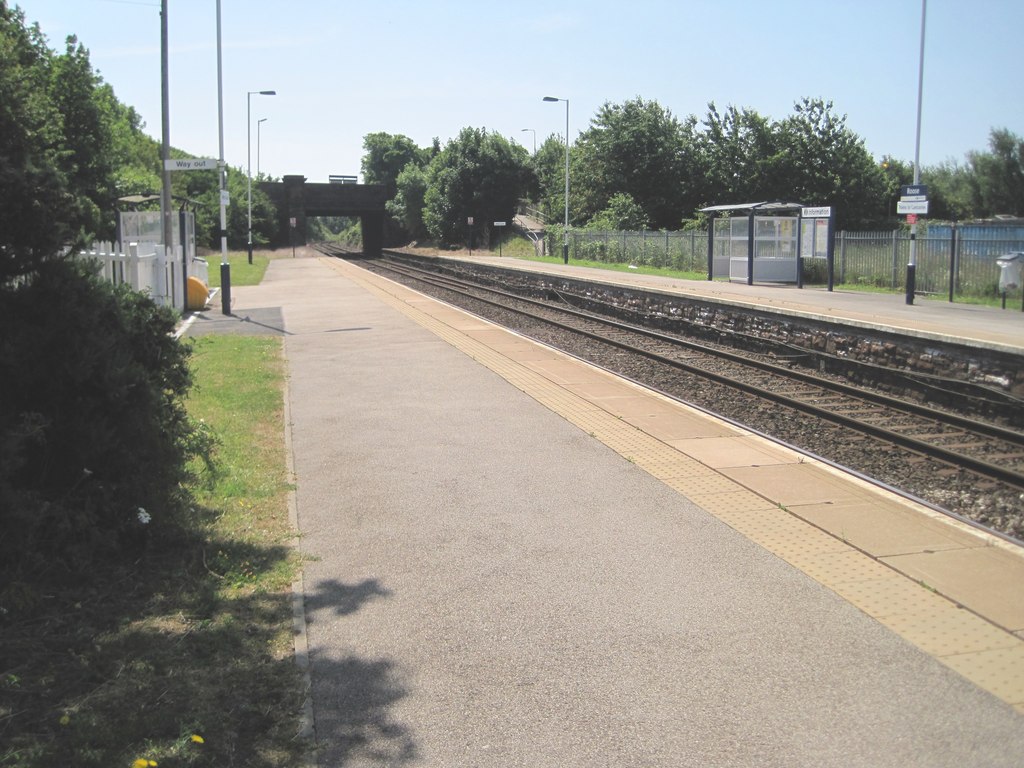
Roose railway station
Roose is a railway station on the Furness Line, which runs between Barrow-in-Furness and Lancaster. The station, situated 1+3⁄4 miles (3 km) east of Barrow...
Barrow Park
Barrow Park is a 45-acre public park in Barrow-in-Furness, Cumbria, England. It is located entirely within the Parkside ward, to which the park lends its...
Newbarns
Newbarns is an area and electoral ward of Barrow-in-Furness, Cumbria, England. It is bordered by Hawcoat, Parkside, Risedale and Roose, the local population...

Salthouse, Barrow-in-Furness
Salthouse is an area of Barrow-in-Furness, Cumbria, England. Centred on Salthouse Road to the east of the town centre it was historically a ward in its...
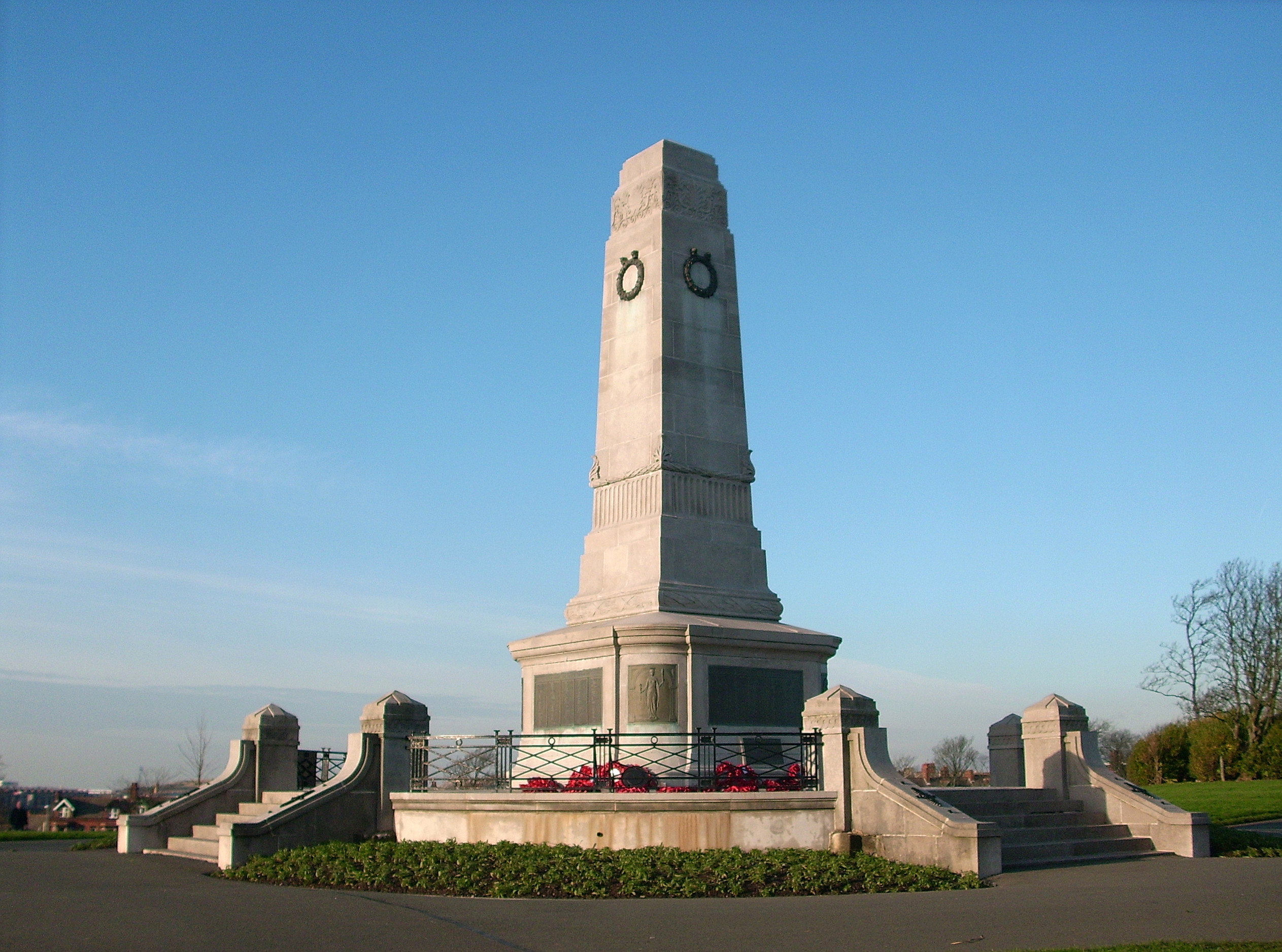
Barrow Park Cenotaph
The Barrow Park Cenotaph is the main war memorial in the UK town of Barrow-in-Furness, Cumbria, North West England. Located in Barrow's main public park...
Nearby Amenities
Located within 500m of 54.117752,-3.205211Have you been to South Newbarns?
Leave your review of South Newbarns below (or comments, questions and feedback).