Roose Gate

Settlement in Lancashire Barrow-in-Furness

England

Roose Gate

HMS Onyx Retired submarine HMS Onyx in Buccleuch Dock. It is an Oberon class sub. built by Cammell Laird and launched in 1966. Diesel electric powered with 8 torpedo tubes. Now awaiting resiting and preservation at the Dock Museum. Sadly, the tower crane is rarely used these days.
HMS Onyx Credit: David Jackson

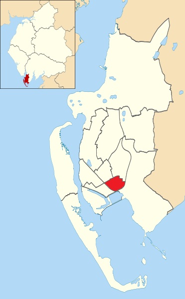
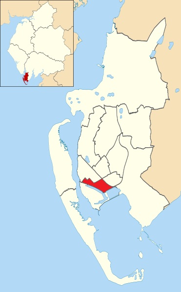
Roose Gate is a small village located in the county of Lancashire, England. Situated on the outskirts of Barrow-in-Furness, it is part of the Borough of Barrow-in-Furness. The village is primarily residential, with a population of around 3,000 residents.

Roose Gate is known for its charming rural setting, surrounded by picturesque countryside and rolling hills. The village offers a peaceful and tranquil environment, making it an ideal place for those seeking a quiet and idyllic lifestyle. Its proximity to Barrow-in-Furness also provides residents with easy access to a range of amenities, including shops, schools, and healthcare facilities.

The village features a mix of architectural styles, with a combination of traditional stone houses and more modern developments. It maintains a strong community spirit, with various social and recreational activities organized throughout the year. The local pub, The Roose Gate Inn, serves as a popular gathering spot for residents and visitors alike.

In terms of transportation, Roose Gate benefits from good road connectivity. The A590 road passes nearby, providing easy access to neighboring towns and cities. The village is also served by regular bus services, ensuring convenient travel options for residents.

Overall, Roose Gate offers a serene and welcoming environment, perfect for those in search of a peaceful countryside retreat while still enjoying the convenience of nearby amenities.

If you have any feedback on the listing, please let us know in the comments section below.
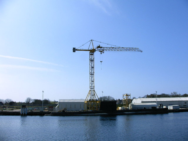
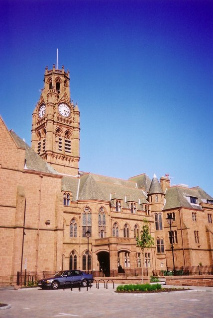
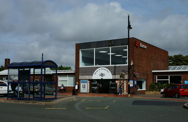
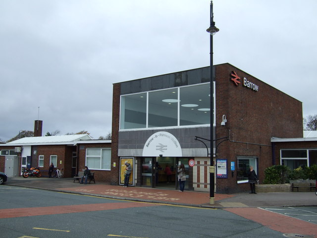
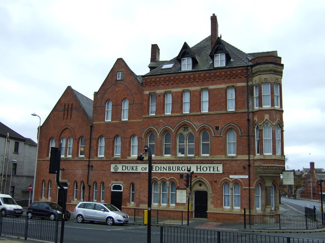
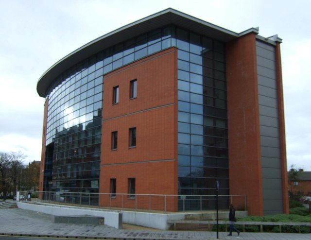
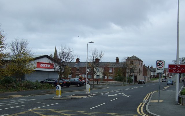
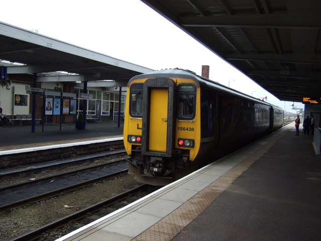
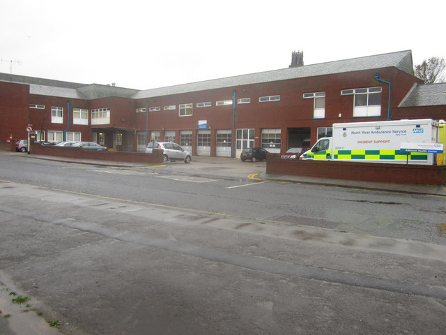
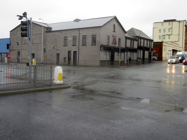
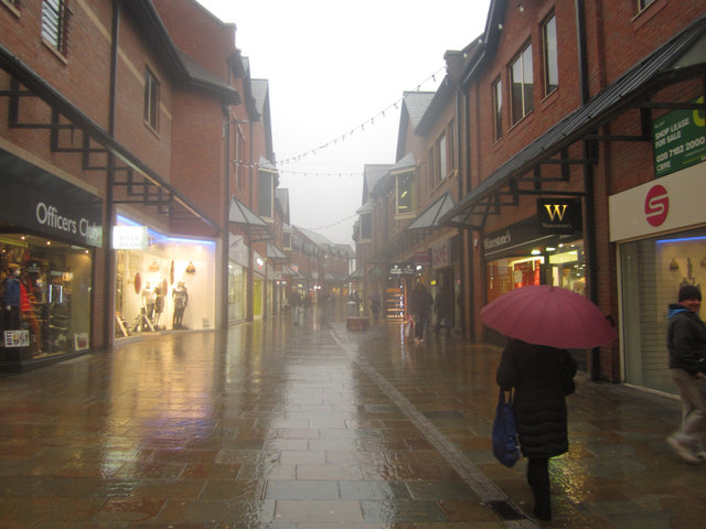
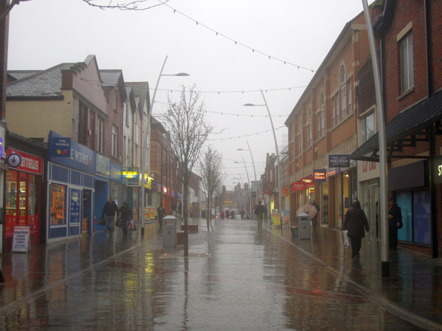
Roose Gate Images

Images are sourced within 2km of 54.111176/-3.2005881 or Grid Reference SD2169. Thanks to Geograph Open Source API. All images are credited.

HMS Onyx Retired submarine HMS Onyx in Buccleuch Dock. It is an Oberon class sub. built by Cammell Laird and launched in 1966. Diesel electric powered with 8 torpedo tubes. Now awaiting resiting and preservation at the Dock Museum. Sadly, the tower crane is rarely used these days.
HMS Onyx
Retired submarine HMS Onyx in Buccleuch Dock. It is an Oberon class sub. built by Cammell Laird and launched in 1966. Diesel electric powered with 8 torpedo tubes. Now awaiting resiting and preservation at the Dock Museum. Sadly, the tower crane is rarely used these days.
The entrance to Barrow Town Hall in May 2000 Viewed from the far side of an adjacent small car park.
The entrance to Barrow Town Hall in May 2000
Viewed from the far side of an adjacent small car park.
Barrow Railway Station On the line between Carlisle and Carnforth, with many trains, from either location, terminating here.
Barrow Railway Station
On the line between Carlisle and Carnforth, with many trains, from either location, terminating here.
Barrow Railway Station
The Duke of Edinburgh Hotel
Office block on Holker Street
Holker Street
Holker Street
Barrow Station
Barrow Station
Railway heading north from Barrow Station
Town Hall, Barrow-in-Furness
The Princess Selandia in Buccleuch Dock, Barrow The Princess Selandia is a former Scandinavian ferry and more recently a floating entertainment venue. She arrived at Buccleuch Dock in Barrow and opened as an entertainment complex in 2003 and included a night club and restaurant. The venture lasted 7 years before closing in 2010. Since then the ship has been moored here waiting for a new owner, gathering rust, and at least from the dock side, looking sorry for herself.
The Princess Selandia in Buccleuch Dock, Barrow
The Princess Selandia is a former Scandinavian ferry and more recently a floating entertainment venue. She arrived at Buccleuch Dock in Barrow and opened as an entertainment complex in 2003 and included a night club and restaurant. The venture lasted 7 years before closing in 2010. Since then the ship has been moored here waiting for a new owner, gathering rust, and at least from the dock side, looking sorry for herself.
Morrisons Petrol Station, Barrow in Furness The Morrisons Petrol Station seen from Michaelson Road, Barrow in Furness. The filling station is on the same site as a large supermarket which is located at the other end of the car park, out of shot to the right.
Morrisons Petrol Station, Barrow in Furness
The Morrisons Petrol Station seen from Michaelson Road, Barrow in Furness. The filling station is on the same site as a large supermarket which is located at the other end of the car park, out of shot to the right.
Ambulance Station, Barrow in Furness Barrow in Furness ambulance station, the base for ambulances serving Barrow and the surrounding area.
Ambulance Station, Barrow in Furness
Barrow in Furness ambulance station, the base for ambulances serving Barrow and the surrounding area.
Club M, Barrow Club M, a nightclub in Barrow in Furness, at the junction of Hindpool Road and Cornwallis Street.
Club M, Barrow
Club M, a nightclub in Barrow in Furness, at the junction of Hindpool Road and Cornwallis Street.
Dalton Road, Barrow in Furness Dalton Road, a shopping development in Barrow in Furness which is home to a number of branches of national chain stores.
Dalton Road, Barrow in Furness
Dalton Road, a shopping development in Barrow in Furness which is home to a number of branches of national chain stores.
Dalton Road, Barrow in Furness Looking along Dalton Road, a pedestrianised street lined with shops in Barrow in Furness on a wet, overcast November day.
Dalton Road, Barrow in Furness
Looking along Dalton Road, a pedestrianised street lined with shops in Barrow in Furness on a wet, overcast November day.
Barrow-in-Furness Railway Station
Barrow-in-Furness railway station, Cumbria Opened in 1882 by the Furness Railway to replace the earlier terminus station near George Square. View south east towards Roose and Lancaster.
Barrow-in-Furness railway station, Cumbria
Opened in 1882 by the Furness Railway to replace the earlier terminus station near George Square. View south east towards Roose and Lancaster.
Show me another place!

Roose Gate is located at Grid Ref: SD2169 (Lat: 54.111176, Lng: -3.2005881)

Administrative County: Cumbria

District: Barrow-in-Furness

Police Authority: Cumbria

What 3 Words

///hung.sides.fries. Near Barrow in Furness, Cumbria

Related Wikis

Risedale

Risedale is an area and ward of Barrow-in-Furness, Cumbria, England. It is bordered by Barrow town centre, Parkside, Newbarns and Roose and had a population...

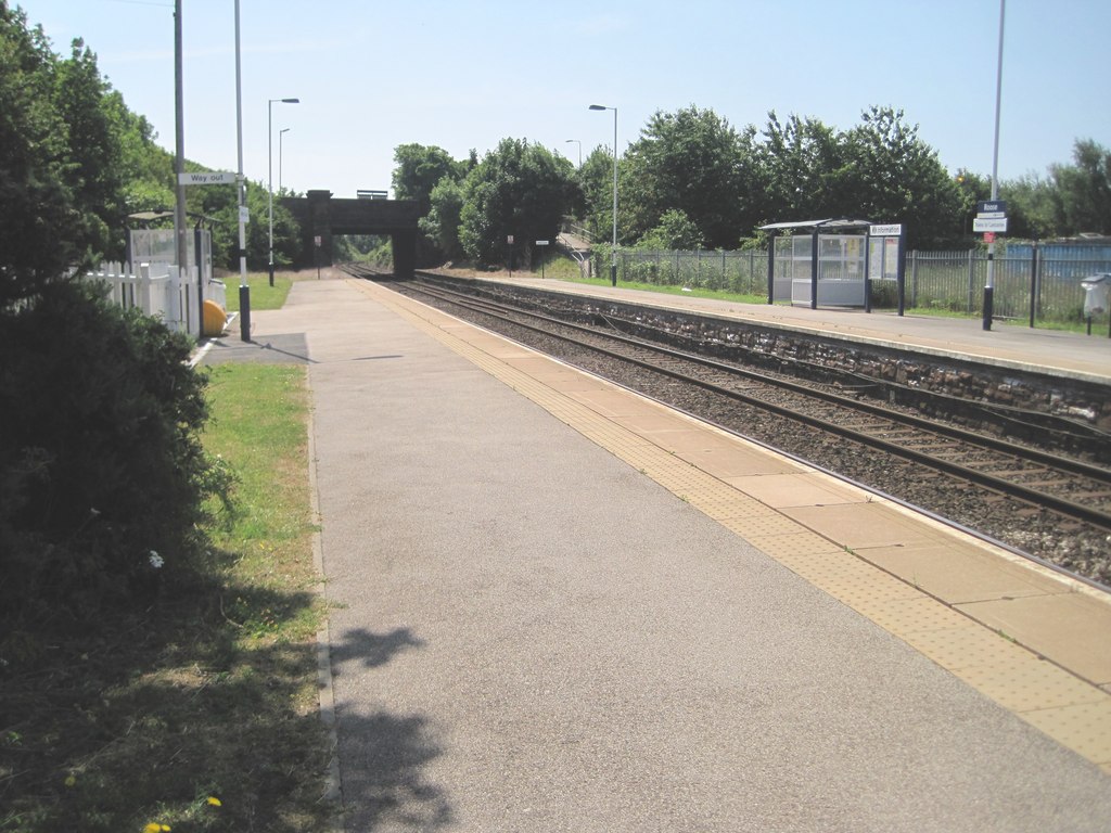
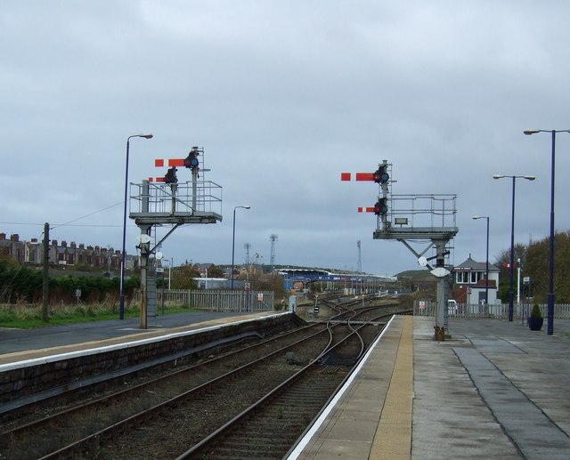
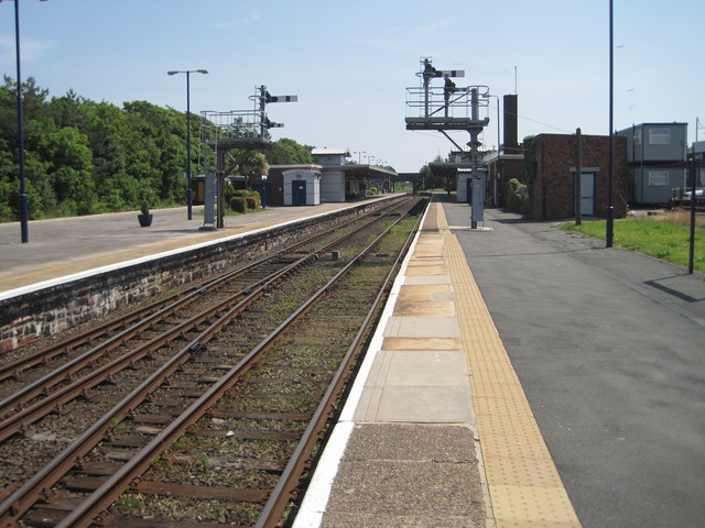
Roose railway station

Roose is a railway station on the Furness Line, which runs between Barrow-in-Furness and Lancaster. The station, situated 1+3⁄4 miles (3 km) east of Barrow...
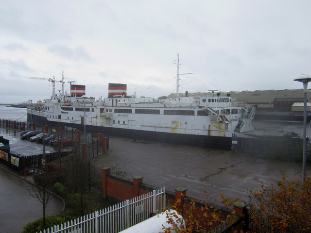
Cavendish Dock

Cavendish Dock is one of the four docks which make up the Port of Barrow in Barrow-in-Furness, England. Covering some 591,000 square metres (6,360,000...

Salthouse, Barrow-in-Furness

Salthouse is an area of Barrow-in-Furness, Cumbria, England. Centred on Salthouse Road to the east of the town centre it was historically a ward in its...

Roosecote Power Station

Roosecote Power Station was a gas-fired, originally coal-fired power station, situated in the Roosecote district of Barrow-in-Furness in Cumbria, North...

Furness Academy

Furness Academy is a secondary school in Barrow-in-Furness, England. It is the fourth academy to have been formed in the county of Cumbria after the closure...

Central Barrow

Central Barrow refers both to the town centre of Barrow-in-Furness, Cumbria, England and to the electoral ward that roughly covers the eastern part of...

Ramsden Dock

Ramsden Dock is one of the four docks which make up the Port of Barrow in Barrow-in-Furness, England. It was constructed between 1872 and 1879 covering...

Nearby Amenities

Located within 500m of 54.111176,-3.2005881
Source: Landsat photo
Lat/Long: 54.1087032/-3.203463
Railway: switch
Lat/Long: 54.1088316/-3.2032003
Salthouse
Historic Railway: halt
Railway: site
Wikidata: Q65065253
Wikipedia: en:Minor stations of the Furness Railway
Lat/Long: 54.1093921/-3.1983798
Bus Stop
Washington Hotel
Bus: yes
Local Ref: AT
Naptan AtcoCode: 090010020562
Naptan Bearing: E
Naptan CommonName: Washington Hotel
Naptan Indicator: at
Naptan Landmark: no. 47
Naptan NaptanCode: cumajtjd
Naptan PlusbusZoneRef: BAROW
Naptan Street: Roose Road
Naptan Verified: no
Public Transport: platform
Source: naptan_import
Lat/Long: 54.1107827/-3.2072392
Bus Stop
Roose Road / St Luke's Avenue
Bus: yes
Naptan AtcoCode: 090010020565
Naptan Bearing: W
Naptan CommonName: Roose Road / St Luke's Avenue
Naptan Indicator: near
Naptan Landmark: junction
Naptan NaptanCode: cumajtjm
Naptan PlusbusZoneRef: BAROW
Naptan Street: Roose Road
Naptan Verified: no
Public Transport: platform
Source: naptan_import
Lat/Long: 54.1113858/-3.2044573
Bus Stop
Roose Road / Friars Lane
Bus: yes
Naptan AtcoCode: 090010020566
Naptan Bearing: E
Naptan CommonName: Roose Road / Friars Lane
Naptan Indicator: e/bound
Naptan Landmark: Petrol Station
Naptan NaptanCode: cumajtjp
Naptan PlusbusZoneRef: BAROW
Naptan Street: Roose Road
Naptan Verified: no
Public Transport: platform
Source: naptan_import
Lat/Long: 54.1116976/-3.2038391
Bus Stop
Roose Road / Gateway
Bus: yes
Local Ref: AT
Naptan AtcoCode: 090010020580
Naptan Bearing: S
Naptan CommonName: Roose Road / Gateway
Naptan Indicator: at
Naptan Landmark: junction
Naptan NaptanCode: cumajtmj
Naptan PlusbusZoneRef: BAROW
Naptan Street: Roose Road
Naptan Verified: no
Public Transport: platform
Source: naptan_import
Lat/Long: 54.1121908/-3.1976425
Bus Stop
Friars Lane / Monk's Brow
Bus: yes
Local Ref: AT
Naptan AtcoCode: 090010022557
Naptan Bearing: S
Naptan CommonName: Friars Lane / Monk's Brow
Naptan Indicator: at
Naptan Landmark: junction
Naptan NaptanCode: cumamatm
Naptan PlusbusZoneRef: BAROW
Naptan Street: Friars Lane
Naptan Verified: no
Public Transport: platform
Source: naptan_import
Lat/Long: 54.1141562/-3.202457
Bus Stop
Risedale Road Post office
Bus: yes
Local Ref: AT
Naptan AtcoCode: 090010022568
Naptan Bearing: N
Naptan BusStopType: CUS
Naptan CommonName: Risedale Road Post office
Naptan Indicator: at
Naptan Landmark: Post Office
Naptan NaptanCode: cumamawa
Naptan PlusbusZoneRef: BAROW
Naptan Street: Risedale Road
Naptan Verified: no
Public Transport: platform
Source: naptan_import
Lat/Long: 54.1110515/-3.2082107
Bus Stop
Friars Lane / Holcroft Hill
Bus: yes
Local Ref: AT
Naptan AtcoCode: 090010022626
Naptan Bearing: N
Naptan CommonName: Friars Lane / Holcroft Hill
Naptan Indicator: at
Naptan Landmark: junction with Holcroft Hill
Naptan NaptanCode: cumamdaw
Naptan PlusbusZoneRef: BAROW
Naptan Street: Friars Lane
Naptan Verified: no
Public Transport: platform
Source: naptan_import
Lat/Long: 54.1137203/-3.2029033
Bus Stop
Longway junction
Bus: yes
Local Ref: AT
Naptan AtcoCode: 090010022686
Naptan Bearing: E
Naptan CommonName: Longway junction
Naptan Indicator: at
Naptan Landmark: number 201
Naptan NaptanCode: cumamdjt
Naptan PlusbusZoneRef: BAROW
Naptan Street: Roose Road
Naptan Verified: no
Public Transport: platform
Source: naptan_import
Lat/Long: 54.1127259/-3.1971684
Turning Circle
Lat/Long: 54.1134292/-3.2070396
Turning Circle
Lat/Long: 54.1142802/-3.1968922
Turning Circle
Lat/Long: 54.1143197/-3.1961112
Power: tower
Lat/Long: 54.109613/-3.2000153
Power: tower
Lat/Long: 54.1098439/-3.2022761
Power: tower
Lat/Long: 54.1089829/-3.1970096
Atm
Lat/Long: 54.1111818/-3.2059307
Community Centre
Abbotsmead Community Development Centre
Addr City: Barrow-in-Furness
Addr Housename: Abbotsmead Community Development Centre
Addr Postcode: LA13 9RP
Addr Street: Cambridge Street
Lat/Long: 54.112064/-3.2042203
Parking
Capacity: 8
Lat/Long: 54.1144467/-3.1997307
Parking
Capacity: 4
Lat/Long: 54.1151293/-3.1994765
Bench
Lat/Long: 54.1139206/-3.2059201
Salthouse
Place: suburb
Wikidata: Q7406116
Lat/Long: 54.1106164/-3.2046193
Post Box
Collection Times: Mo-Fr 17:00; Sa 11:15
Post Box Type: pillar
Ref: LA13 20
Royal Cypher: GVIR
Royal Cypher Wikidata: Q33102169
Lat/Long: 54.1109833/-3.2081895
Giselle
Shop: hairdresser
Lat/Long: 54.1134845/-3.2031168
Post Box
Ref: LA13 89
Lat/Long: 54.1134939/-3.2030256
Post Box
Ref: LA13 49
Lat/Long: 54.11184/-3.200338
Generator Method: photovoltaic
Generator Output Electricity: yes
Generator Source: solar
Generator Type: solar_photovoltaic_panel
Location: roof
Power: generator
Lat/Long: 54.1104681/-3.1996527
Salthouse Junction
Railway: junction
Source: OS_OpenData_StreetView
Lat/Long: 54.1088458/-3.2032111
Generator Method: photovoltaic
Generator Output Electricity: yes
Generator Source: solar
Generator Type: solar_photovoltaic_panel
Location: roof
Power: generator
Lat/Long: 54.1147232/-3.1972241
Generator Method: photovoltaic
Generator Output Electricity: yes
Generator Source: solar
Generator Type: solar_photovoltaic_panel
Location: roof
Power: generator
Lat/Long: 54.1111305/-3.2026046
Generator Method: photovoltaic
Generator Output Electricity: yes
Generator Source: solar
Generator Type: solar_photovoltaic_panel
Location: roof
Power: generator
Lat/Long: 54.1136411/-3.2051038
Railway: switch
Lat/Long: 54.1085126/-3.2042656
Crossing
Lat/Long: 54.1102923/-3.1937384
Traffic Signals
Traffic Signals: signal
Traffic Signals Direction: forward
Lat/Long: 54.1105062/-3.2080024
Crossing
Button Operated: yes
Crossing: traffic_signals
Crossing Island: yes
Crossing Markings: dots
Crossing Signals: yes
Crossing Ref: pelican
Tactile Paving: yes
Lat/Long: 54.110522/-3.2079488
Crossing
Button Operated: yes
Crossing: traffic_signals
Crossing Island: yes
Crossing Markings: dots
Crossing Signals: yes
Crossing Ref: pelican
Tactile Paving: yes
Traffic Signals Vibration: yes
Lat/Long: 54.1106684/-3.2078575
Traffic Signals
Traffic Signals: signal
Traffic Signals Direction: forward
Lat/Long: 54.1106918/-3.2078741
Crossing
Button Operated: yes
Crossing: traffic_signals
Crossing Island: no
Crossing Markings: dots
Crossing Signals: yes
Crossing Ref: pelican
Tactile Paving: yes
Lat/Long: 54.1106186/-3.2076045
Traffic Signals
Traffic Signals: signal
Traffic Signals Direction: backward
Lat/Long: 54.1106319/-3.2075549
Crossing
Crossing: unmarked
Crossing Island: yes
Tactile Paving: yes
Lat/Long: 54.1108023/-3.2069209
Crossing
Crossing: unmarked
Crossing Island: yes
Tactile Paving: yes
Lat/Long: 54.1110967/-3.2058259
Crossing
Crossing: unmarked
Crossing Island: yes
Tactile Paving: yes
Lat/Long: 54.1112109/-3.2054067
Crossing
Button Operated: yes
Crossing: traffic_signals
Crossing Island: no
Crossing Markings: dots
Crossing Signals: yes
Crossing Ref: puffin
Tactile Paving: yes
Lat/Long: 54.1117423/-3.2034495
Crossing
Crossing: unmarked
Crossing Island: yes
Tactile Paving: yes
Lat/Long: 54.1118595/-3.2028469
The data included in this document is from www.openstreetmap.org. The data is made available under ODbL.

Have you been to Roose Gate?

Leave your review of Roose Gate below (or comments, questions and feedback).