Priest Wood

Wood, Forest in Gloucestershire

England

Priest Wood

Footpath towards Heath End The footpath stretches from the viewpoint towards the housing in the background. Although signposted, the path is hard to discern on the ground.
Footpath towards Heath End Credit: Brian Robert Marshall

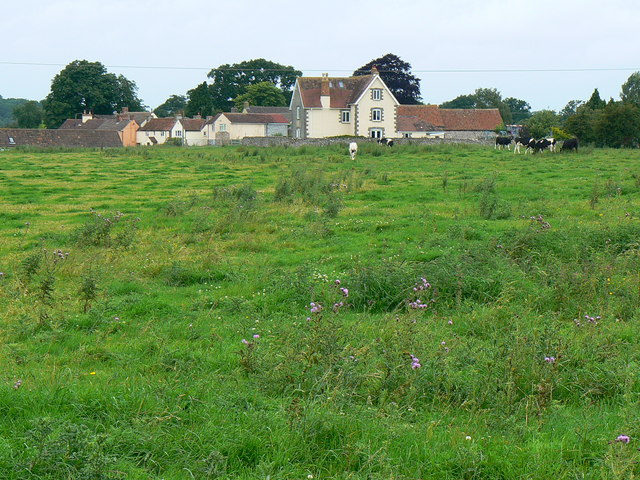
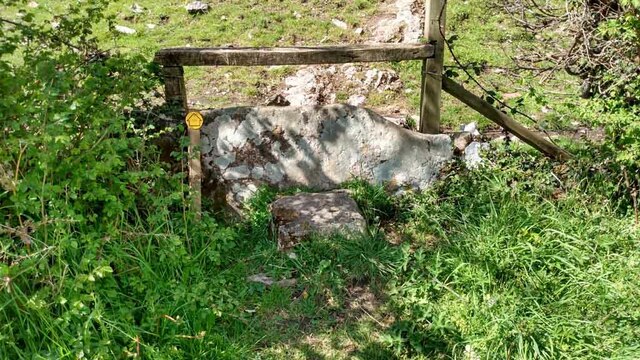
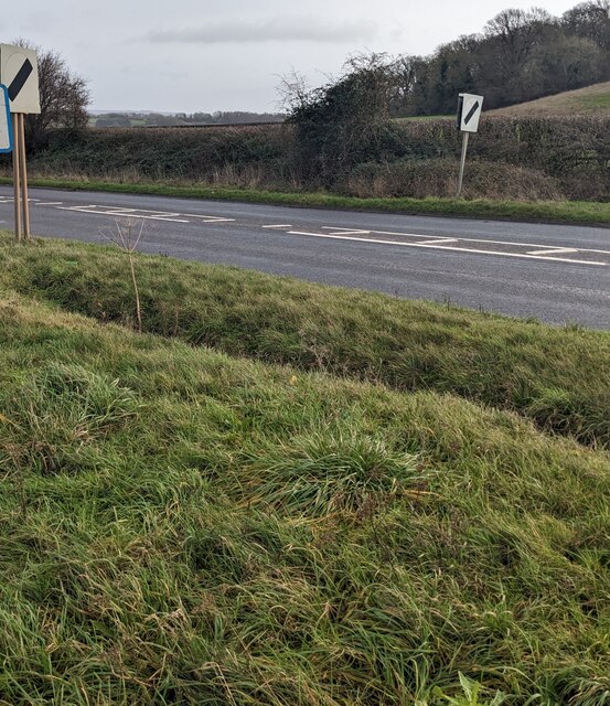
Priest Wood is a charming wooded area located in Gloucestershire, England. Situated within the larger Forest of Dean, it is a popular destination for nature lovers and outdoor enthusiasts. The wood covers an area of approximately 300 acres, offering a tranquil retreat from the hustle and bustle of urban life.

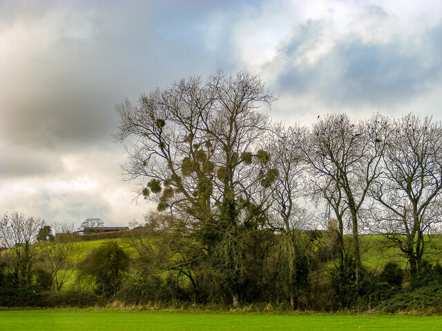
The wood is predominantly composed of oak and beech trees, creating a picturesque landscape that changes dramatically throughout the seasons. In spring, the woodland floor is carpeted with vibrant bluebells and other wildflowers, while autumn brings a stunning display of golden leaves. The diverse range of flora and fauna found in Priest Wood makes it a haven for wildlife, including deer, foxes, and a variety of bird species.

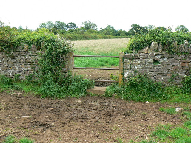
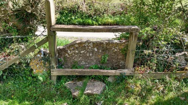
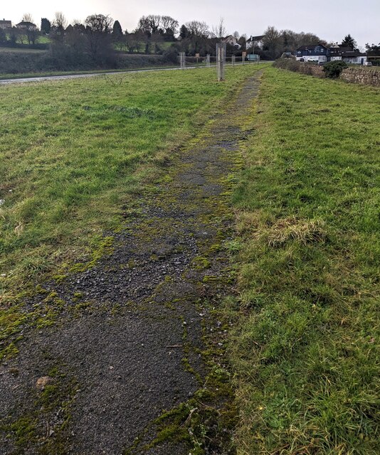
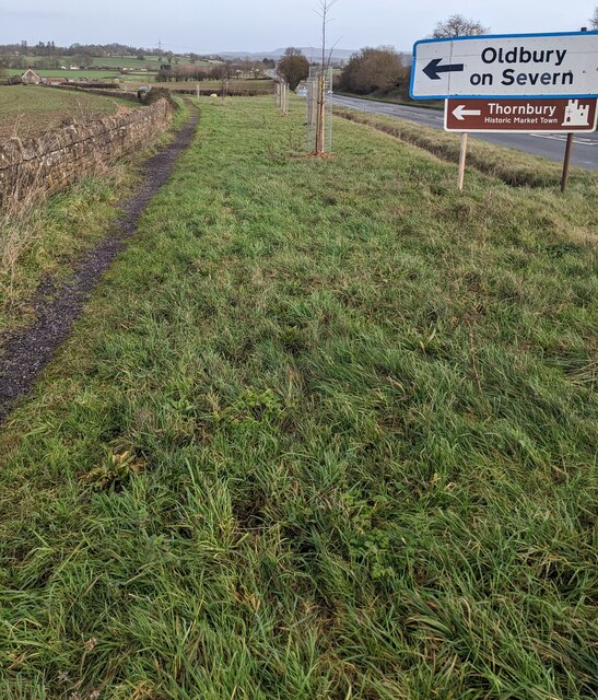
There are several walking trails that wind through the wood, allowing visitors to explore its natural beauty at their own pace. These trails vary in difficulty, catering to both casual strollers and more avid hikers. Along the way, there are informative signs providing insights into the history and ecology of the area.

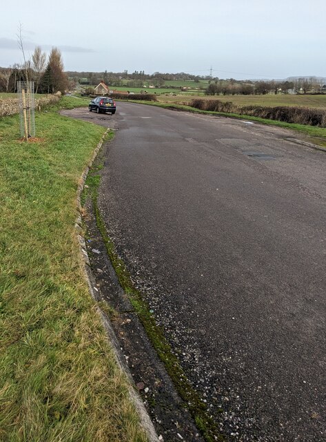
Priest Wood is also home to a small picnic area, making it a perfect spot for a leisurely lunch surrounded by nature. Additionally, the wood is easily accessible, with a nearby car park and public transportation options.

Overall, Priest Wood in Gloucestershire offers a peaceful and idyllic setting for individuals and families to reconnect with nature. Its scenic beauty, diverse wildlife, and well-maintained trails make it a must-visit destination in the region.

If you have any feedback on the listing, please let us know in the comments section below.
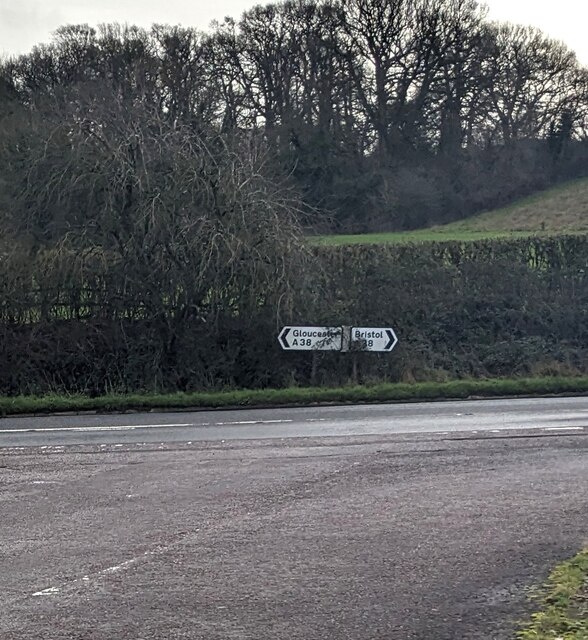
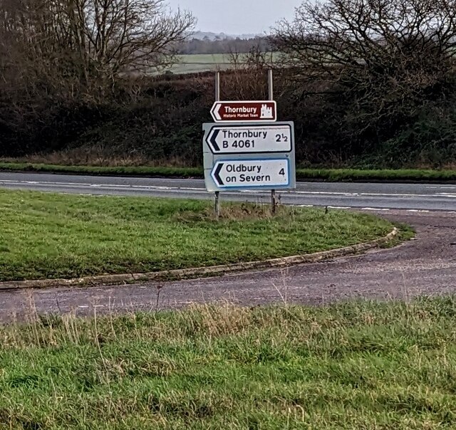
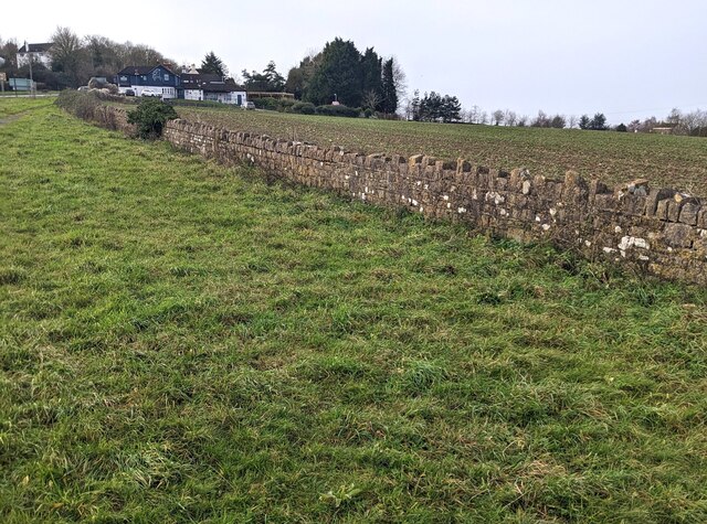
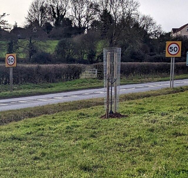
Priest Wood Images

Images are sourced within 2km of 51.608742/-2.4596679 or Grid Reference ST6890. Thanks to Geograph Open Source API. All images are credited.

Footpath towards Heath End The footpath stretches from the viewpoint towards the housing in the background. Although signposted, the path is hard to discern on the ground.
Footpath towards Heath End
The footpath stretches from the viewpoint towards the housing in the background. Although signposted, the path is hard to discern on the ground.
Stile and footpath near Heath End The stile isn't particularly user-friendly by comparison with other designs to be seen. The rather ill-defined footpath carries on towards the hedge in the distance.
Stile and footpath near Heath End
The stile isn't particularly user-friendly by comparison with other designs to be seen. The rather ill-defined footpath carries on towards the hedge in the distance.
A mistletoe infestation A phenomenon I had not seen before this journey along the M5, where a seemingly localised colony of mistletoe made itself known on the trees of Gloucestershire and Worcestershire. This tree is located near Whitfield, Thornbury.
A mistletoe infestation
A phenomenon I had not seen before this journey along the M5, where a seemingly localised colony of mistletoe made itself known on the trees of Gloucestershire and Worcestershire. This tree is located near Whitfield, Thornbury.
Stone Stile, Cromhall On Gloucestershire footpath OCR/7 looking towards Spring Lane. The view from the road is <a href="https://www.geograph.org.uk/photo/7220053">ST6890 : Stone Stile, Cromhall</a>.
Stone Stile, Cromhall
On Gloucestershire footpath OCR/7 looking towards Spring Lane. The view from the road is ST6890 : Stone Stile, Cromhall.
Stone Stile, Cromhall On Gloucestershire footpath OCR/7 looking from Spring Lane. The view to the road is <a href="https://www.geograph.org.uk/photo/7220050">ST6890 : Stone Stile, Cromhall</a>.
Stone Stile, Cromhall
On Gloucestershire footpath OCR/7 looking from Spring Lane. The view to the road is ST6890 : Stone Stile, Cromhall.
Old Gloucester Road, Buckover, South Gloucestershire Looking north along the B4061 Old Gloucester Road.
Ahead for Gloucester Road and Thornbury.
Behind the camera for the A38.
Old Gloucester Road, Buckover, South Gloucestershire
Looking north along the B4061 Old Gloucester Road. Ahead for Gloucester Road and Thornbury. Behind the camera for the A38.
Give Way sign, Old Gloucester Road, Buckover Alongside the B4061 Old Gloucester Road on the approach to the A38 in South Gloucestershire.
Give Way sign, Old Gloucester Road, Buckover
Alongside the B4061 Old Gloucester Road on the approach to the A38 in South Gloucestershire.
Path through grass, Buckover, South Gloucestershire The A38 is on the left.
Path through grass, Buckover, South Gloucestershire
The A38 is on the left.
A38 directions, Buckover, South Gloucestershire Facing the B4061. Left for Gloucester, right for Bristol.
A38 directions, Buckover, South Gloucestershire
Facing the B4061. Left for Gloucester, right for Bristol.
B4061 direction and distance signs, Buckover, South Gloucestershire The signs at the A38 junction are 2½ miles from Thornbury, 4 from Oldbury on Severn.
B4061 direction and distance signs, Buckover, South Gloucestershire
The signs at the A38 junction are 2½ miles from Thornbury, 4 from Oldbury on Severn.
Long stone wall, Buckover, South Gloucestershire Set back from the A38.
Long stone wall, Buckover, South Gloucestershire
Set back from the A38.
Start of the 50 zone, Buckover, South Gloucestershire The National Speed Limit on the A38 drops to 50mph.
Start of the 50 zone, Buckover, South Gloucestershire
The National Speed Limit on the A38 drops to 50mph.
End of the 50 zone, Buckover, South Gloucestershire The 50mph speed limit on the A38 increases to the National Speed Limit.
End of the 50 zone, Buckover, South Gloucestershire
The 50mph speed limit on the A38 increases to the National Speed Limit.
Directions alongside the A38, Buckover, South Gloucestershire Turn left onto the B4061 ahead for Oldbury on Severn and Thornbury (Historic Market Town).
Directions alongside the A38, Buckover, South Gloucestershire
Turn left onto the B4061 ahead for Oldbury on Severn and Thornbury (Historic Market Town).
The White Horse, Buckover, South Gloucestershire In January 2023 the  White Horse nameboard shows "pub & dining".
The White Horse, Buckover, South Gloucestershire
In January 2023 the White Horse nameboard shows "pub & dining".
White Horse depiction, Buckover, South Gloucestershire On the wall here. <a title="https://www.geograph.org.uk/photo/7372807" href="https://www.geograph.org.uk/photo/7372807">Link</a>
White Horse depiction, Buckover, South Gloucestershire
On the wall here. Link
The White Horse pub & dining name sign, Buckover Hanging from a wall bracket on the left here <a title="https://www.geograph.org.uk/photo/7372807" href="https://www.geograph.org.uk/photo/7372807">Link</a> in January 2023.
The White Horse pub & dining name sign, Buckover
Hanging from a wall bracket on the left here Link in January 2023.
Gloucester and Thornbury directions, Buckover  Alongside the A38. The White Horse pub & dining <a title="https://www.geograph.org.uk/photo/7372807" href="https://www.geograph.org.uk/photo/7372807">Link</a> is behind the camera.
Gloucester and Thornbury directions, Buckover
Alongside the A38. The White Horse pub & dining Link is behind the camera.
Show me another place!

Priest Wood is located at Grid Ref: ST6890 (Lat: 51.608742, Lng: -2.4596679)

Unitary Authority: South Gloucestershire

Police Authority: Avon and Somerset

What 3 Words

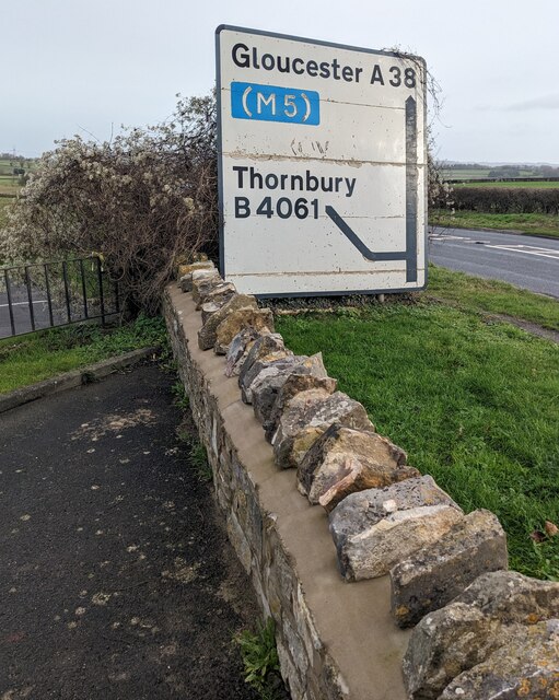
///victory.exploring.game. Near Tytherington, Gloucestershire

Related Wikis

Brinkmarsh Quarry

Brinkmarsh Quarry (grid reference ST674913) is a 0.5 hectare geological Site of Special Scientific Interest near the town of Thornbury, South Gloucestershire...

Bibstone

Bibstone is a village in Gloucestershire, England. == External links == Media related to Bibstone at Wikimedia Commons

Tytherington, Gloucestershire

Tytherington is a village in the civil parish of Tytherington and Itchington, in the South Gloucestershire district, in the ceremonial county of Gloucestershire...

Milbury Heath

Milbury Heath is a hamlet in South Gloucestershire, England, located east of Thornbury. The hamlet has a garden centre and a few other farm shops. The...

Whitfield, Gloucestershire

Whitfield is a hamlet in South Gloucestershire, England. == Location == It is on the A38 near Falfield. Located just beyond the B4061 junction, the rural...

Buckover Road Cutting

Buckover Road Cutting (grid reference ST665906) is a 1.7 hectare geological Site of Special Scientific Interest near the town of Thornbury, South Gloucestershire...

Tytherington Rocks F.C.

Tytherington Rocks F.C. is a football club based in Tytherington, near Thornbury, Gloucestershire, England. The club competes in the Hellenic League Division...

Cromhall

Cromhall is a village in South Gloucestershire, England. It is located between Bagstone and Charfield on the B4058, and also borders Leyhill. The parish...

Nearby Amenities

Located within 500m of 51.608742,-2.4596679
Barrier: stile
Bicycle: no
Foot: yes
Material: wood
Stile: stepover
Lat/Long: 51.606121/-2.4592502
Barrier: stile
Bicycle: no
Foot: yes
Material: wood
Stile: stepover
Lat/Long: 51.6052218/-2.4601921
Power: pole
Source: Bing
Lat/Long: 51.605373/-2.4554194
Power: pole
Source: Bing
Lat/Long: 51.6061308/-2.4538512
Power: pole
Source: Bing
Lat/Long: 51.6046912/-2.4568555
The Combe
Lat/Long: 51.6121862/-2.4561989
Priestwood Roman Villa
Access: private
Archaeological Site: roman_villa
Historic: archaeological_site
Historic Civilization: roman
Lat/Long: 51.6059481/-2.4552591
The data included in this document is from www.openstreetmap.org. The data is made available under ODbL.

Have you been to Priest Wood?

Leave your review of Priest Wood below (or comments, questions and feedback).