Hanglands Covert

Wood, Forest in Somerset South Somerset

England

Hanglands Covert

Field at Waterloo Crescent This field is just off the minor road that runs from Milborne Port North to Charlton Horethorne.
Field at Waterloo Crescent Credit: Nigel Mykura

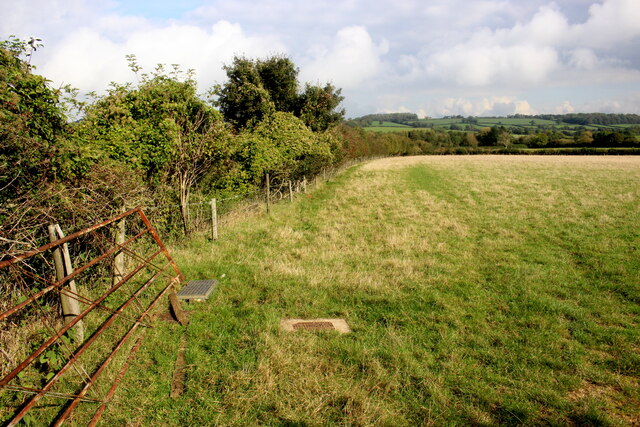
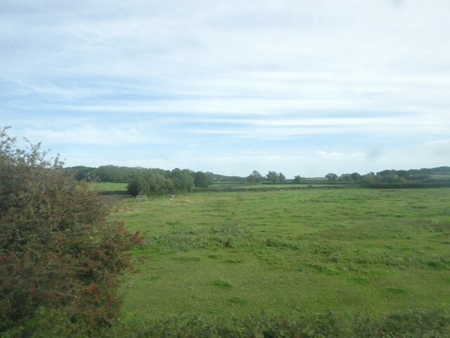
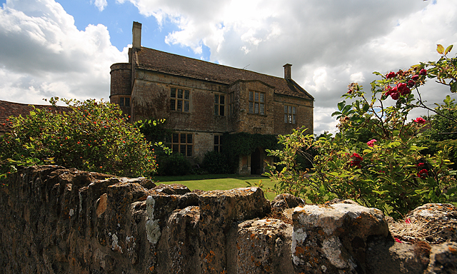
Hanglands Covert is a picturesque woodland located in Somerset, England. Situated in the heart of the county, the covert spans over a sprawling area of approximately 100 acres. It is known for its serene and tranquil atmosphere, making it a popular destination for nature enthusiasts and locals alike.

The woodland is characterized by a diverse range of trees and vegetation, including ancient oak trees, beech trees, and dense shrubbery. This creates a rich and vibrant ecosystem, providing a natural habitat for a variety of wildlife species. Visitors to Hanglands Covert often have the opportunity to spot a wide array of birds, mammals, and insects, making it a haven for wildlife enthusiasts and birdwatchers.

The woodland is crisscrossed with numerous walking trails, allowing visitors to explore the area at their own pace. These trails meander through the dense forest, offering scenic views and glimpses of the surrounding countryside. The peaceful ambiance and natural beauty of Hanglands Covert make it an ideal spot for a leisurely stroll or a picnic with family and friends.

The covert is managed by local authorities, who ensure the preservation of its natural heritage and maintain the trails for public use. In recent years, efforts have been made to enhance the biodiversity of the woodland, with the introduction of new plant species and the creation of wildlife habitats.

Overall, Hanglands Covert is a hidden gem in Somerset, offering a peaceful retreat from the hustle and bustle of everyday life. Its natural beauty, diverse wildlife, and well-maintained trails make it a must-visit destination for nature lovers and those seeking a connection with the great outdoors.

If you have any feedback on the listing, please let us know in the comments section below.

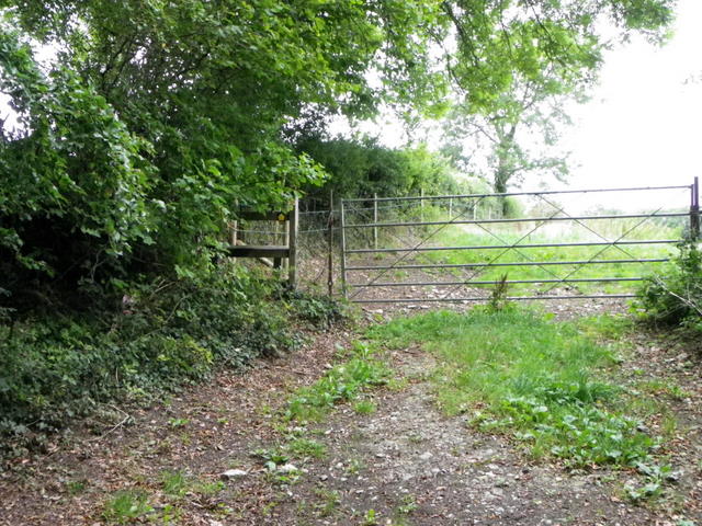
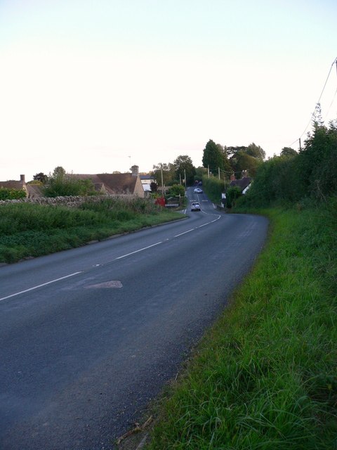
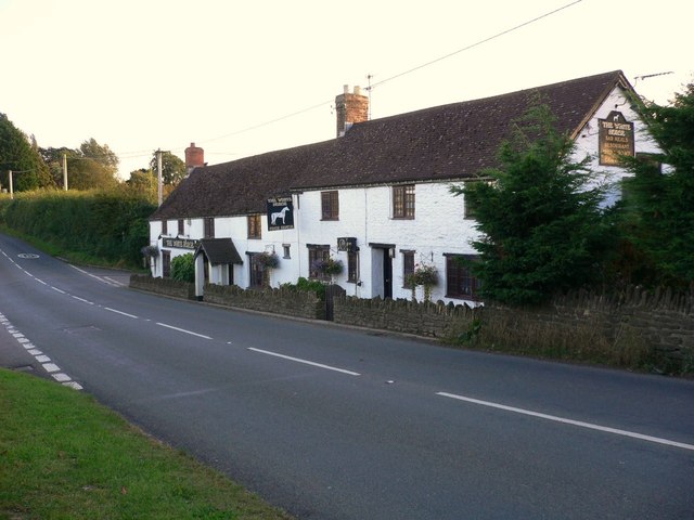
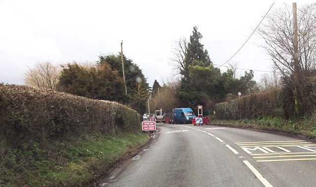
Hanglands Covert Images

Images are sourced within 2km of 51.007639/-2.4572184 or Grid Reference ST6823. Thanks to Geograph Open Source API. All images are credited.

Field at Waterloo Crescent This field is just off the minor road that runs from Milborne Port North to Charlton Horethorne.
Field at Waterloo Crescent
This field is just off the minor road that runs from Milborne Port North to Charlton Horethorne.
High St Charlton Horethorne Looking north along High St from the village green. The High St goes off to the right and North St goes off to the left.
High St Charlton Horethorne
Looking north along High St from the village green. The High St goes off to the right and North St goes off to the left.
Marshy ground, by railway at Stowell The left-hand boundary of this field is a stream; hence the marshy nature of the field
Marshy ground, by railway at Stowell
The left-hand boundary of this field is a stream; hence the marshy nature of the field
Old Milestone by the B3145, Charlton Horethorne Metal plate attached to stone post by the B3145, in parish of CHARLTON HORETHORNE (SOUTH SOMERSET District), opposite Church in Charlton Horethorne, by No. 647, set in garden wall (stone) beside road, on West side of road. Wincanton iron plate, erected by the Wincanton turnpike trust in the 19th century. 

Inscription reads:-
Wincanton
5
Sherborne
5

Grade II listed. 
List Entry Number: 1366357 <span class="nowrap"><a title="https://historicengland.org.uk/listing/the-list/list-entry/1366357" rel="nofollow ugc noopener" href="https://historicengland.org.uk/listing/the-list/list-entry/1366357">Link</a><img style="margin-left:2px;" alt="External link" title="External link - shift click to open in new window" src="https://s1.geograph.org.uk/img/external.png" width="10" height="10"/></span>

Milestone Society National ID: SO_WCSB05.
Old Milestone by the B3145, Charlton Horethorne
Metal plate attached to stone post by the B3145, in parish of CHARLTON HORETHORNE (SOUTH SOMERSET District), opposite Church in Charlton Horethorne, by No. 647, set in garden wall (stone) beside road, on West side of road. Wincanton iron plate, erected by the Wincanton turnpike trust in the 19th century. Inscription reads:- Wincanton 5 Sherborne 5 Grade II listed. List Entry Number: 1366357 LinkExternal link Milestone Society National ID: SO_WCSB05.
Stile near Stowell The stile gives walkers access to the footpath to Starve Acre.
Stile near Stowell
The stile gives walkers access to the footpath to Starve Acre.
Cattle near Stowell Cattle graze on the lush grass in one of the small fields that abound in the area.
Cattle near Stowell
Cattle graze on the lush grass in one of the small fields that abound in the area.
Byway near Clare Cottages The byway passes cottages as it heads towards the bridge that takes it over the railway.
Byway near Clare Cottages
The byway passes cottages as it heads towards the bridge that takes it over the railway.
Detail, The Church of St Mary Magdalene The handle to the west door.
Detail, The Church of St Mary Magdalene
The handle to the west door.
Doorway, The Church of St Mary Magdalene The arch above the door in the south porch is in the Norman style.
Doorway, The Church of St Mary Magdalene
The arch above the door in the south porch is in the Norman style.
The Church of St Mary Magdalene The church was mostly rebuilt in 1913 and 1914 of local stone which has been cut and squared.
The Church of St Mary Magdalene
The church was mostly rebuilt in 1913 and 1914 of local stone which has been cut and squared.
Bench Mark, The Church of St Mary Magdalene The Ordnance Survey bench mark is on the south east face of the church.  For a view of the church <a href="https://www.geograph.org.uk/photo/2551909">ST6822 : The Church of St Mary Magdalene</a> and for further information on the cut mark and others in the area <span class="nowrap"><a title="http://www.bench-marks.org.uk/bm39125" rel="nofollow ugc noopener" href="http://www.bench-marks.org.uk/bm39125">Link</a><img style="margin-left:2px;" alt="External link" title="External link - shift click to open in new window" src="https://s1.geograph.org.uk/img/external.png" width="10" height="10"/></span>
Bench Mark, The Church of St Mary Magdalene
The Ordnance Survey bench mark is on the south east face of the church. For a view of the church ST6822 : The Church of St Mary Magdalene and for further information on the cut mark and others in the area LinkExternal link
Stile near Horsington The stile allows walkers access to the footpath that takes them towards Coombe Cross Farm.
Stile near Horsington
The stile allows walkers access to the footpath that takes them towards Coombe Cross Farm.
Field of clover near Horsington A field of white clover near the village of Horsington.
Field of clover near Horsington
A field of white clover near the village of Horsington.
The A357  through South Cheriton looking south
The A357 through South Cheriton looking south
"The White Horse" at South Cheriton
A357 at South Cheriton White House inn on the right
A357 at South Cheriton
White House inn on the right
Road works on A357 By Meadow View south of South Cheriton
Road works on A357
By Meadow View south of South Cheriton
Field at Stowell Seen from a train on the line between Sherborne and Templecombe. The village of Stowell, in the background, is in <a href="https://www.geograph.org.uk/gridref/ST6822">ST6822</a>.
Field at Stowell
Seen from a train on the line between Sherborne and Templecombe. The village of Stowell, in the background, is in ST6822.
Show me another place!

Hanglands Covert is located at Grid Ref: ST6823 (Lat: 51.007639, Lng: -2.4572184)

Administrative County: Somerset

District: South Somerset

Police Authority: Avon and Somerset

What 3 Words

///remodels.proves.creeps. Near Templecombe, Somerset

Related Wikis

Church of St Peter and St Paul, Charlton Horethorne

The Anglican Church of St Peter and St Paul in Charlton Horethorne, Somerset, England was built in the 12th century. It is a Grade II* listed building...

Charlton Horethorne

Charlton Horethorne is a village and civil parish in Somerset, England, situated 5 miles (8 km) south-west of Wincanton and 5 miles (8 km) north-east of...

Laycock Railway Cutting

Laycock Railway Cutting (grid reference ST678213) is a 1.3 hectare geological Site of Special Scientific Interest near Milborne Port in Somerset, notified...

Horsington, Somerset

Horsington is a village and Civil parish in Somerset, England, situated 4 miles (6.4 km) south of Wincanton and 1 mile (1.6 km) north of Templecombe in...
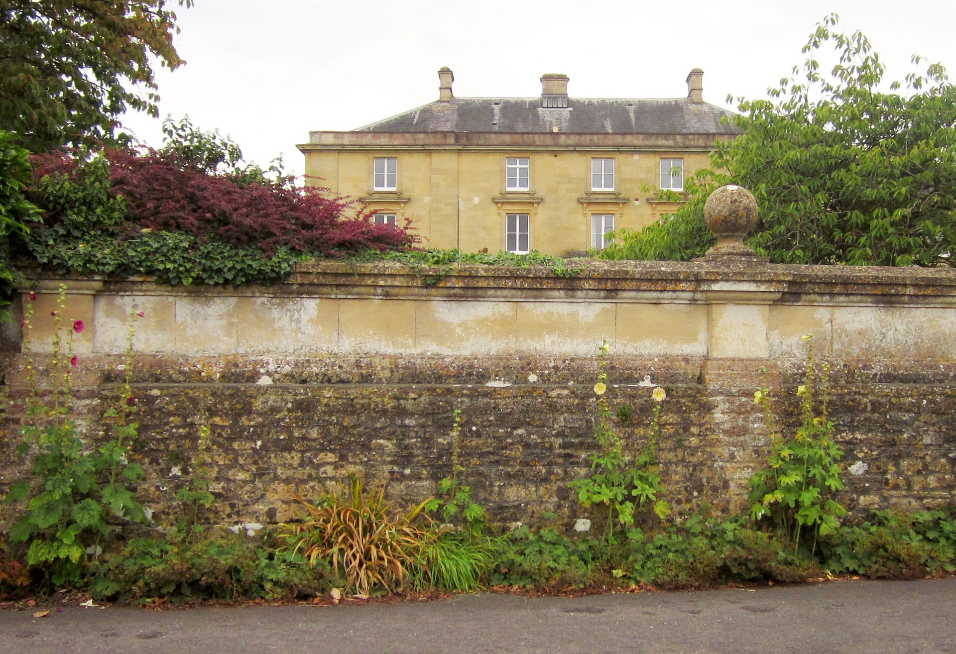
Horsington House

Horsington House is a country house in Horsington, near Templecombe in Somerset. It is a stone-built house with pillared porch, built in 1839. It is a...

Church of St John the Baptist, Horsington

The Anglican Church of St John the Baptist in Horsington, Somerset, England was built in the 15th century and rebuilt between 1885 and 1887. It is a Grade...

North Cheriton

North Cheriton is a small village and civil parish in South Somerset with a population of 208. It is located on the A357 south-west of Wincanton. ��2...

Church of St John the Baptist, North Cheriton

The Anglican Church of St John the Baptist in North Cheriton, Somerset, England was built in the 14th century. It is a Grade II* listed building. ��2...

Nearby Amenities

Located within 500m of 51.007639,-2.4572184
Turning Circle
Lat/Long: 51.0060143/-2.4524518
The data included in this document is from www.openstreetmap.org. The data is made available under ODbL.

Have you been to Hanglands Covert?

Leave your review of Hanglands Covert below (or comments, questions and feedback).