Jock's Glen

Valley in Northumberland

England

Jock's Glen

Lime kiln at  Walltown
Lime kiln at Walltown Credit: Sandy Gerrard

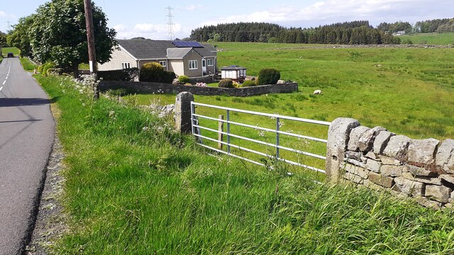
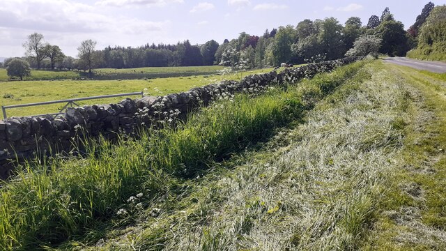
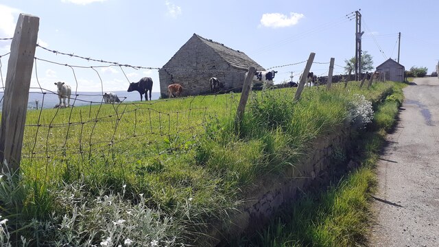
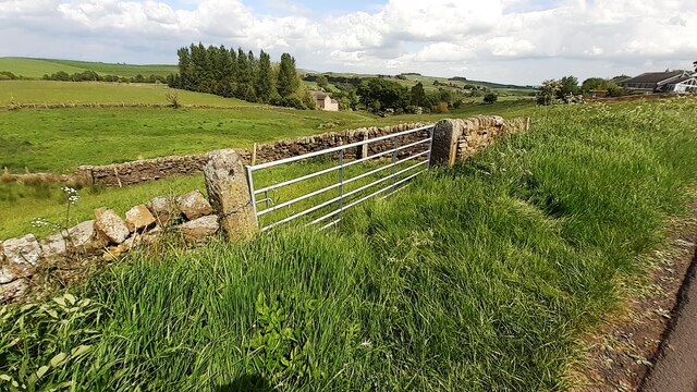
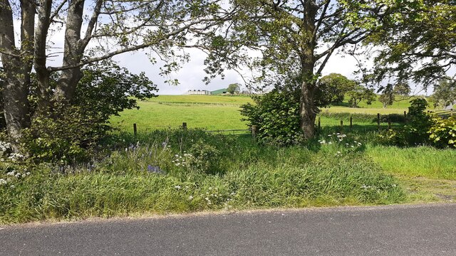
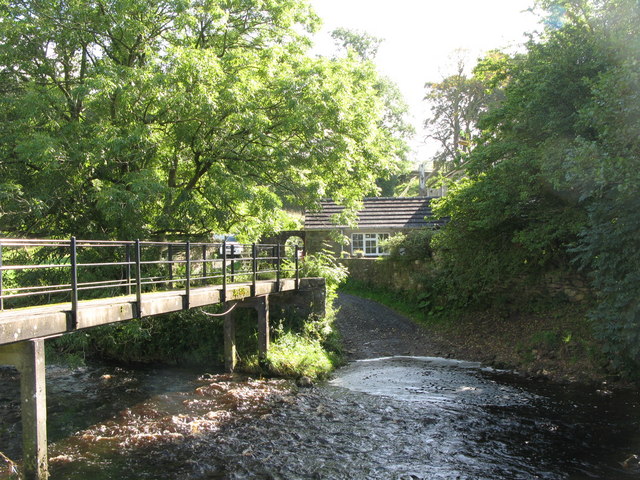
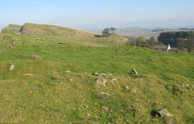
Jock's Glen is a picturesque valley located in Northumberland, England. Nestled in the heart of the Northumberland National Park, this stunning natural wonder is known for its serene beauty and rich biodiversity. The glen stretches for approximately 2 miles, offering visitors a tranquil escape from the hustle and bustle of city life.

The valley is characterized by its lush greenery, with dense woodland covering the surrounding hillsides. The gentle flow of the Jock's Burn, a small river that meanders through the glen, adds to its charm. The crystal-clear waters of the burn provide a soothing soundtrack as they cascade over small waterfalls and flow through rocky channels.

Jock's Glen is a haven for nature enthusiasts and wildlife lovers. The dense woodland provides a habitat for numerous species of birds, including woodpeckers, owls, and various songbirds. Red squirrels can often be spotted darting through the trees, while deer occasionally make appearances on the glen's periphery.

For those seeking outdoor activities, there are several walking trails that wind through Jock's Glen. These paths offer breathtaking views of the surrounding countryside and lead to hidden gems, such as secluded picnic spots and picturesque viewpoints. The glen is also a popular spot for photographers, who are drawn to its natural beauty and the ever-changing colors of the seasons.

Overall, Jock's Glen is a hidden gem in Northumberland, offering visitors a tranquil and idyllic escape into nature. Whether you're looking for a peaceful walk, a glimpse of wildlife, or simply a place to relax and unwind, this valley is sure to leave a lasting impression.

If you have any feedback on the listing, please let us know in the comments section below.
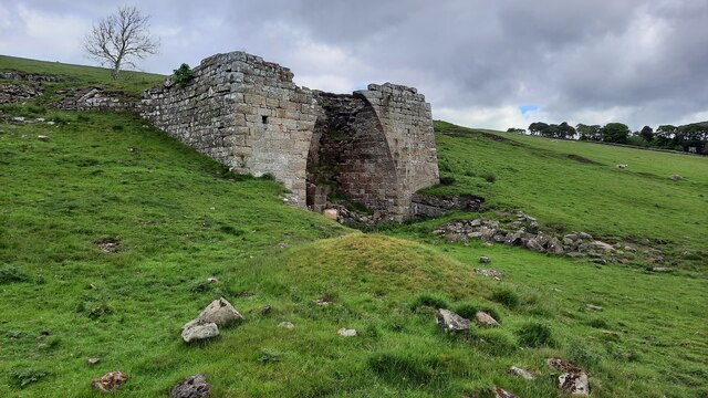
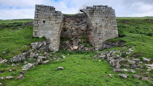
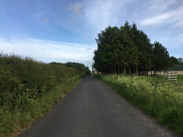
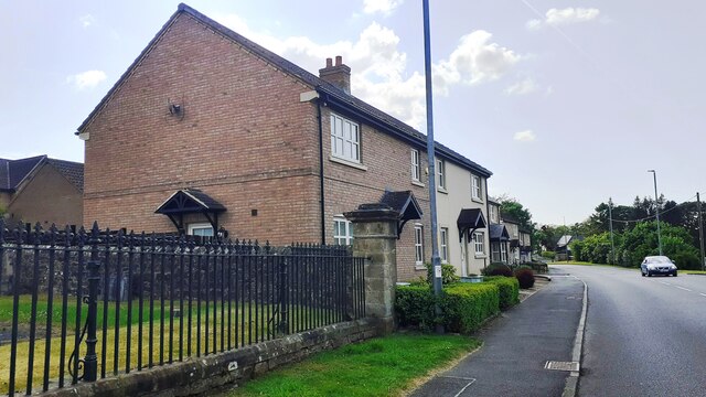
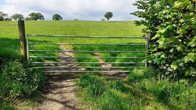
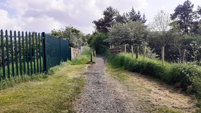
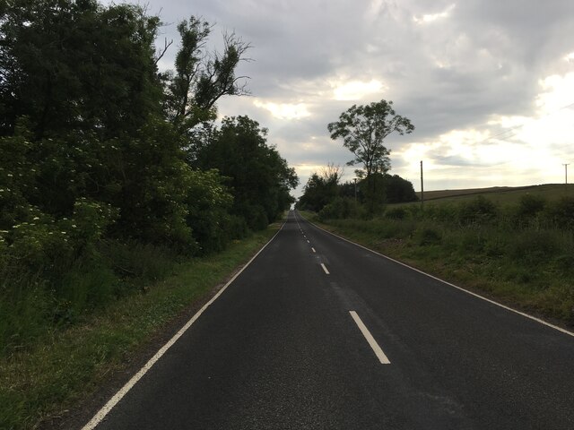
Jock's Glen Images

Images are sourced within 2km of 54.974834/-2.4943908 or Grid Reference NY6864. Thanks to Geograph Open Source API. All images are credited.

Lime kiln at  Walltown
Lime kiln at Walltown
Minor road near Wydoncleughside
Haltwhistle Fire Station (Northumberland County Council)  on south side of Park Street
Haltwhistle Fire Station (Northumberland County Council) on south side of Park Street
Gateway and house on NE side of road west of Comb Hill
Cows in field on south side of road west of Haltwhistle
Barn and cows in field opposite Fir Tree Cottage
View through field gateway on northeast side of Comb Hill Road
Benchmark on #4 Park Road Park Road according to Ordnance Survey records, but I think it may be Westlands. Ordnance Survey cut mark benchmark levelled at 127.093m above Newlyn Datum verified 1954
Benchmark on #4 Park Road
Park Road according to Ordnance Survey records, but I think it may be Westlands. Ordnance Survey cut mark benchmark levelled at 127.093m above Newlyn Datum verified 1954
#4 Park Road (Westlands?) There is an Ordnance Survey benchmark <a href="https://www.geograph.org.uk/photo/7500897">NY6963 : Benchmark on #4 Park Road</a> on the near corner, left hand face, of the house
#4 Park Road (Westlands?)
There is an Ordnance Survey benchmark NY6963 : Benchmark on #4 Park Road on the near corner, left hand face, of the house
Gateway and fields on north side of rural road west of Haltwhistle
Benchmark on pier of boundary wall of cemetery on south side of Tyne View Road Ordnance Survey cut mark benchmark levelled at 125.041m above Newlyn Datum verified 1954
Benchmark on pier of boundary wall of cemetery on south side of Tyne View Road
Ordnance Survey cut mark benchmark levelled at 125.041m above Newlyn Datum verified 1954
West end of cemetery boundary wall and Nos. 2 & 3 Hadrians Rise on south side of B6322 There is an Ordnance Survey benchmark <a href="https://www.geograph.org.uk/photo/7501049">NY6963 : Benchmark on pier of boundary wall of cemetery on south side of Tyne View Road</a> 0n the wall pier at the end of the wall
West end of cemetery boundary wall and Nos. 2 & 3 Hadrians Rise on south side of B6322
There is an Ordnance Survey benchmark NY6963 : Benchmark on pier of boundary wall of cemetery on south side of Tyne View Road 0n the wall pier at the end of the wall
Field gateway on NE side of rural road west of Haltwhistle
Bridge providing footpath over Carlisle-Newcastle railway line The bridge has identity NEC2/120
Bridge providing footpath over Carlisle-Newcastle railway line
The bridge has identity NEC2/120
B6318 near Haltwhistle
Peatsteel Crags south from Hadrian's Wall View far south into the South Tyne valley to Cross Fell.
Peatsteel Crags south from Hadrian's Wall
View far south into the South Tyne valley to Cross Fell.
Show me another place!

Jock's Glen is located at Grid Ref: NY6864 (Lat: 54.974834, Lng: -2.4943908)

Unitary Authority: Northumberland

Police Authority: Northumbria

What 3 Words

///trails.cookbooks.nuggets. Near Greenhead, Northumberland

Related Wikis

Blenkinsop Hall

Blenkinsop Hall (grid reference NY68186412) is a privately owned castellated 19th-century country house situated on the banks of the Tipalt Burn near Greenhead...

Alloa Lea Quarry Cave

Alloa Lea Quarry Cave is a short cave in the Five Yard Limestone of the Alston Block in Northumberland, England. It is situated in an old quarry on the...

Blenkinsopp Castle

Blenkinsopp Castle (spelled Blenkinsop in many records) is a fire-damaged, partly demolished 19th-century country mansion, incorporating the ruinous remains...

Tipalt Burn

Tipalt Burn is a burn which lies to the east of Greenhead, Northumberland. The burn passes several historical sites such as Thirlwall Castle and discharges...

Greenhead, Northumberland

Greenhead is a village in Northumberland, England. The village is on the Military Road (B6318), about 17 miles (27 km) from Chollerford, 3 miles (5 km...

Haltwhistle War Memorial Hospital

Haltwhistle War Memorial Hospital is a health facility at Greencroft Park, Haltwhistle, Northumberland, England. It is managed by Northumbria Healthcare...

Burnfoot River Shingle and Wydon Nabb

Burnfoot River Shingle and Wydon Nabb is the name given to a Site of Special Scientific Interest (SSSI) in Northumberland, North East England. Burnfoot...

Milecastle 45

Milecastle 45 (Walltown) was a milecastle on Hadrian's Wall (grid reference NY67716657). == Description == Milecastle 45 is on the top of Walltown Crags...

Nearby Amenities

Located within 500m of 54.974834,-2.4943908
Birchfield Gate
Created By: Potlatch 0.10f
Place: locality
Lat/Long: 54.9739995/-2.4874024
Design: three-level
Power: tower
Lat/Long: 54.9783885/-2.4952375
Design: three-level
Power: tower
Lat/Long: 54.978437/-2.4910943
Power: pole
Lat/Long: 54.9770503/-2.4884642
Power: pole
Lat/Long: 54.9770395/-2.4898509
Power: pole
Lat/Long: 54.9775683/-2.4909908
Power: pole
Lat/Long: 54.9781109/-2.492061
Power: pole
Lat/Long: 54.9786789/-2.4932653
Power: pole
Lat/Long: 54.979173/-2.4942577
Power: pole
Lat/Long: 54.9756895/-2.4978527
Power: pole
Lat/Long: 54.9750245/-2.4983329
Power: pole
Lat/Long: 54.9743448/-2.4988894
Power: pole
Lat/Long: 54.973505/-2.5001648
Power: pole
Lat/Long: 54.9737206/-2.4990276
The data included in this document is from www.openstreetmap.org. The data is made available under ODbL.

Have you been to Jock's Glen?

Leave your review of Jock's Glen below (or comments, questions and feedback).