Jock's Hill

Hill, Mountain in Northumberland

England

Jock's Hill

View towards River South Tyne
View towards River South Tyne Credit: Les Hull

Jock's Hill is a prominent geographical feature located in Northumberland, a historic county in the northeast of England. It is classified as a hill and stands at an elevation of approximately 282 meters (925 feet). Situated near the village of Elsdon, Jock's Hill is a part of the Pennine range, which is renowned for its picturesque landscapes and rolling hills.

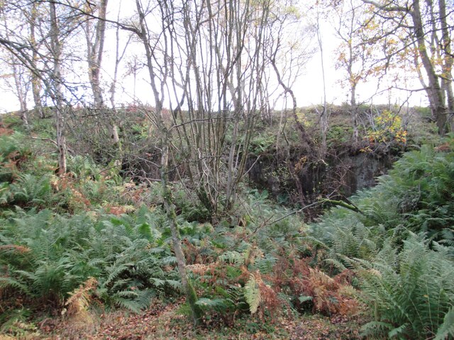
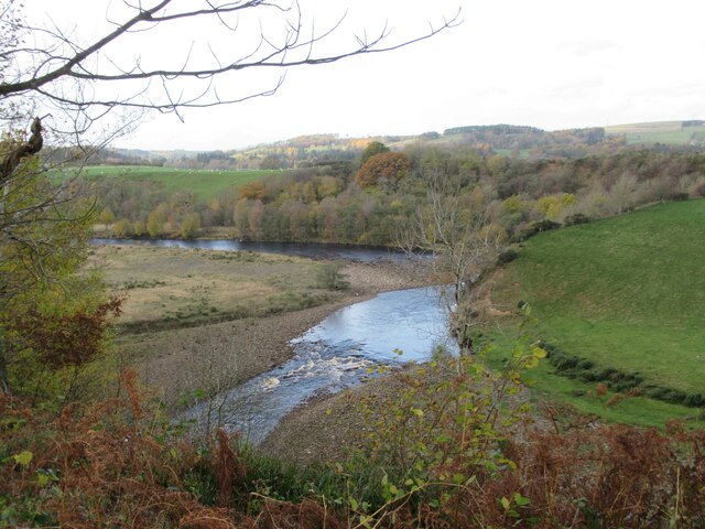
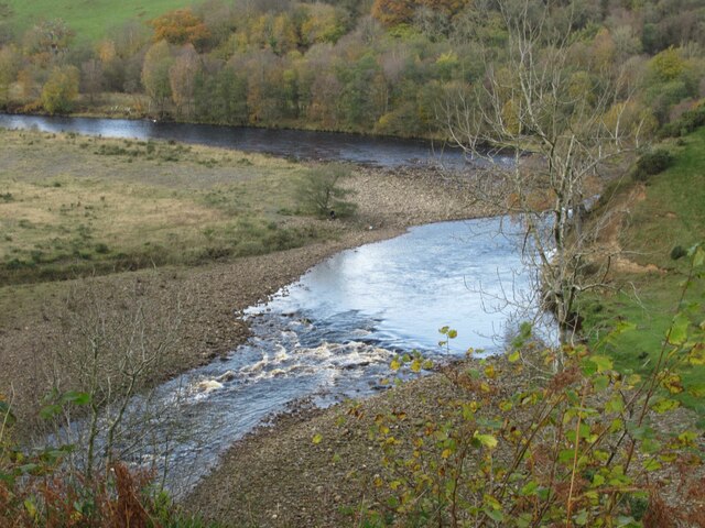
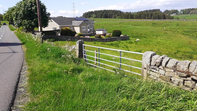
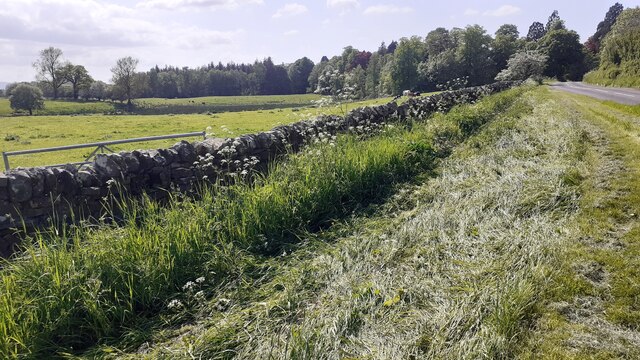
The hill is known for its distinctive shape and is characterized by its steep slopes and rocky terrain. It offers breathtaking panoramic views of the surrounding countryside, making it a popular destination for hikers, nature enthusiasts, and photographers.

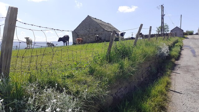
Jock's Hill is covered in lush greenery, with patches of heather, grasses, and scattered woodland adorning its slopes. It is home to a variety of plant and animal species, including wildflowers, birds, and small mammals, adding to its ecological significance.

The hill has a rich historical significance, with traces of ancient settlements and archaeological remains found in the vicinity. It is believed to have been inhabited since prehistoric times, and various artifacts have been discovered, including Bronze Age burial mounds and Roman pottery.

Jock's Hill is a site of natural beauty and historical importance, attracting visitors from far and wide. It offers a tranquil and serene environment, ideal for those seeking solitude or outdoor activities. Whether one is interested in exploring its natural wonders, uncovering its historical past, or simply enjoying the breathtaking views, Jock's Hill is a destination that never fails to captivate its visitors.

If you have any feedback on the listing, please let us know in the comments section below.
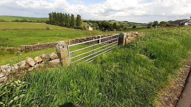
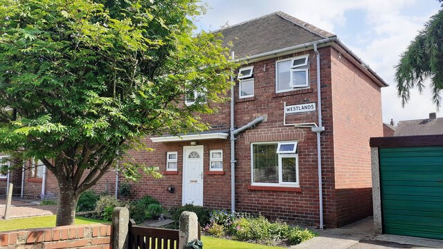
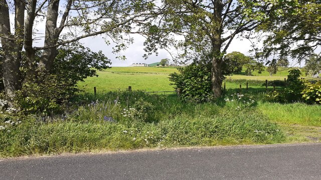
Jock's Hill Images

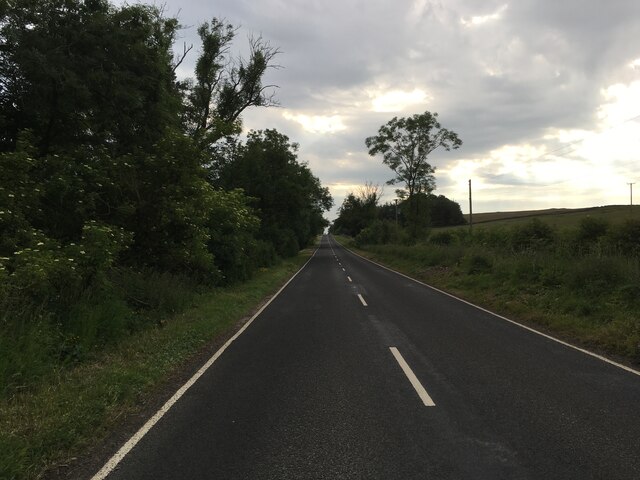
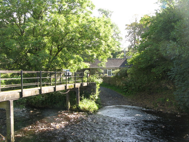
Images are sourced within 2km of 54.973939/-2.4891932 or Grid Reference NY6864. Thanks to Geograph Open Source API. All images are credited.

View towards River South Tyne
Disused Quarry
Disused Quarry
River South Tyne
River South Tyne
River South Tyne
River South Tyne
Road to Wydon Farm
Road to Wydon Farm
Haltwhistle Fire Station (Northumberland County Council)  on south side of Park Street
Haltwhistle Fire Station (Northumberland County Council) on south side of Park Street
Gateway and house on NE side of road west of Comb Hill
Cows in field on south side of road west of Haltwhistle
Barn and cows in field opposite Fir Tree Cottage
View through field gateway on northeast side of Comb Hill Road
Benchmark on #4 Park Road Park Road according to Ordnance Survey records, but I think it may be Westlands. Ordnance Survey cut mark benchmark levelled at 127.093m above Newlyn Datum verified 1954
Benchmark on #4 Park Road
Park Road according to Ordnance Survey records, but I think it may be Westlands. Ordnance Survey cut mark benchmark levelled at 127.093m above Newlyn Datum verified 1954
#4 Park Road (Westlands?) There is an Ordnance Survey benchmark <a href="https://www.geograph.org.uk/photo/7500897">NY6963 : Benchmark on #4 Park Road</a> on the near corner, left hand face, of the house
#4 Park Road (Westlands?)
There is an Ordnance Survey benchmark NY6963 : Benchmark on #4 Park Road on the near corner, left hand face, of the house
Gateway and fields on north side of rural road west of Haltwhistle
Benchmark on pier of boundary wall of cemetery on south side of Tyne View Road Ordnance Survey cut mark benchmark levelled at 125.041m above Newlyn Datum verified 1954
Benchmark on pier of boundary wall of cemetery on south side of Tyne View Road
Ordnance Survey cut mark benchmark levelled at 125.041m above Newlyn Datum verified 1954
West end of cemetery boundary wall and Nos. 2 & 3 Hadrians Rise on south side of B6322 There is an Ordnance Survey benchmark <a href="https://www.geograph.org.uk/photo/7501049">NY6963 : Benchmark on pier of boundary wall of cemetery on south side of Tyne View Road</a> 0n the wall pier at the end of the wall
West end of cemetery boundary wall and Nos. 2 & 3 Hadrians Rise on south side of B6322
There is an Ordnance Survey benchmark NY6963 : Benchmark on pier of boundary wall of cemetery on south side of Tyne View Road 0n the wall pier at the end of the wall
Field gateway on NE side of rural road west of Haltwhistle
Bridge providing footpath over Carlisle-Newcastle railway line The bridge has identity NEC2/120
Bridge providing footpath over Carlisle-Newcastle railway line
The bridge has identity NEC2/120
B6318 near Haltwhistle
Show me another place!

Jock's Hill is located at Grid Ref: NY6864 (Lat: 54.973939, Lng: -2.4891932)

Unitary Authority: Northumberland

Police Authority: Northumbria

What 3 Words

///spinners.town.differ. Near Haltwhistle, Northumberland

Related Wikis

Blenkinsop Hall

Blenkinsop Hall (grid reference NY68186412) is a privately owned castellated 19th-century country house situated on the banks of the Tipalt Burn near Greenhead...

Tipalt Burn

Tipalt Burn is a burn which lies to the east of Greenhead, Northumberland. The burn passes several historical sites such as Thirlwall Castle and discharges...

Haltwhistle War Memorial Hospital

Haltwhistle War Memorial Hospital is a health facility at Greencroft Park, Haltwhistle, Northumberland, England. It is managed by Northumbria Healthcare...

Haltwhistle railway station

Haltwhistle is a railway station on the Tyne Valley Line, which runs between Newcastle and Carlisle via Hexham. The station, situated 22 miles 66 chains...

Nearby Amenities

Located within 500m of 54.973939,-2.4891932
Birchfield Gate
Created By: Potlatch 0.10f
Place: locality
Lat/Long: 54.9739995/-2.4874024
Power: pole
Lat/Long: 54.9770642/-2.4842075
Power: pole
Lat/Long: 54.9770611/-2.4856023
Power: pole
Lat/Long: 54.9770596/-2.4870077
Power: pole
Lat/Long: 54.9770503/-2.4884642
Power: pole
Lat/Long: 54.9770395/-2.4898509
Power: pole
Lat/Long: 54.9775683/-2.4909908
Power: pole
Lat/Long: 54.9781109/-2.492061
The data included in this document is from www.openstreetmap.org. The data is made available under ODbL.

Have you been to Jock's Hill?

Leave your review of Jock's Hill below (or comments, questions and feedback).