Hanover Hill
Hill, Mountain in Dorset
England
Hanover Hill
Hanover Hill is a prominent geographical feature located in Dorset, a county in southwestern England. Situated near the town of Hanover, this hill is known for its breathtaking natural beauty and scenic views, making it a popular destination for tourists and locals alike.
Rising to an elevation of approximately 500 meters, Hanover Hill is classified as a mountain rather than a hill due to its significant height. It boasts a distinctive conical shape, covered in lush green vegetation that adds to its allure. The hill's slopes are adorned with an array of flora and fauna, providing a haven for nature enthusiasts and hikers.
Hanover Hill offers magnificent panoramic views of the surrounding landscape, with vistas stretching across the rolling countryside, picturesque villages, and the sparkling coastline. On clear days, it is even possible to catch glimpses of the English Channel in the distance.
The hill is easily accessible, with several well-maintained footpaths and trails leading to its summit. These paths cater to hikers of varying abilities, ensuring that all visitors can experience the awe-inspiring views from the top. Additionally, there are designated picnic areas along the way, allowing visitors to immerse themselves in the serene surroundings while enjoying a packed lunch.
Hanover Hill is not only a natural wonder but also holds historical significance. It is rumored to have been a site of ancient settlements, with archaeological remains discovered in the vicinity. This adds an extra layer of intrigue to the hill, enticing history buffs and archaeology enthusiasts to explore its surroundings further.
In conclusion, Hanover Hill in Dorset is a magnificent mountain, offering stunning vistas, diverse flora and fauna, and a touch of history. It is a must-visit destination for those seeking natural beauty and tranquility in the heart of England's countryside.
If you have any feedback on the listing, please let us know in the comments section below.
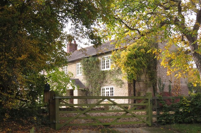
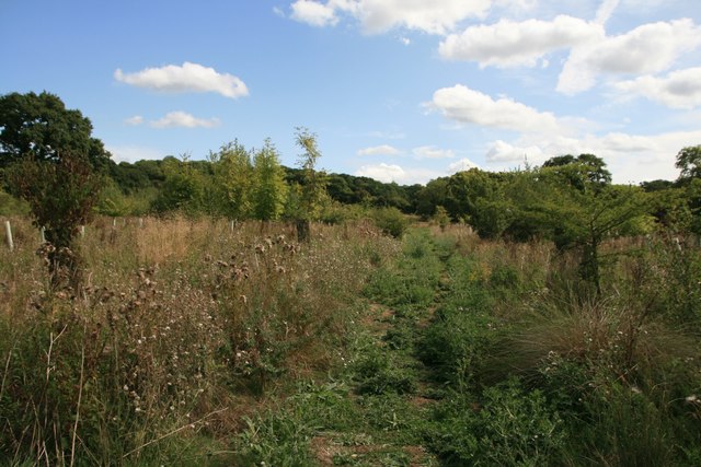
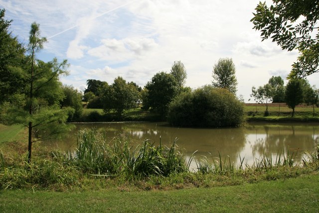
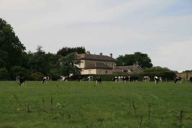
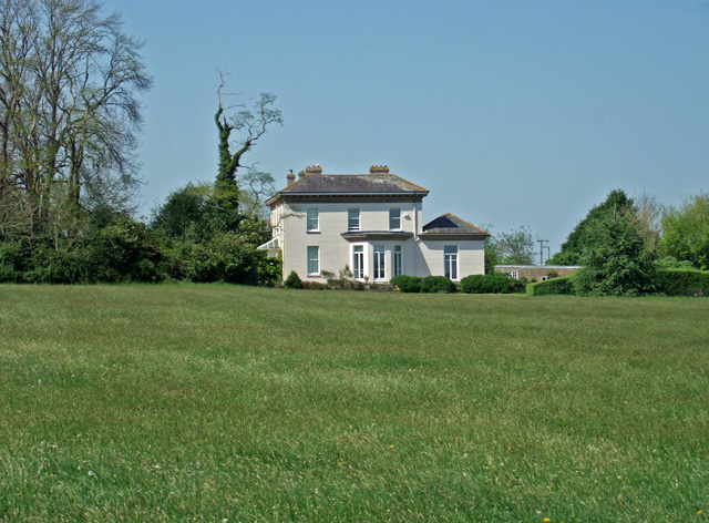
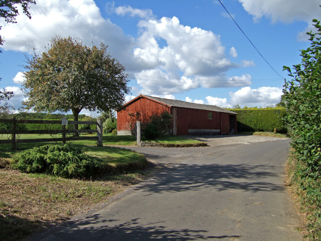
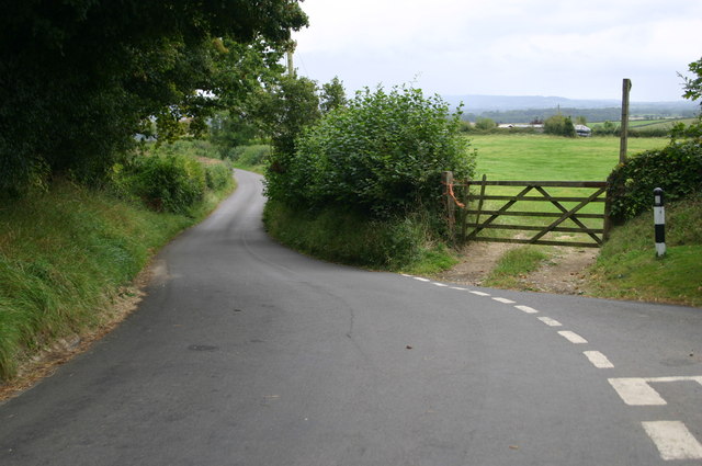
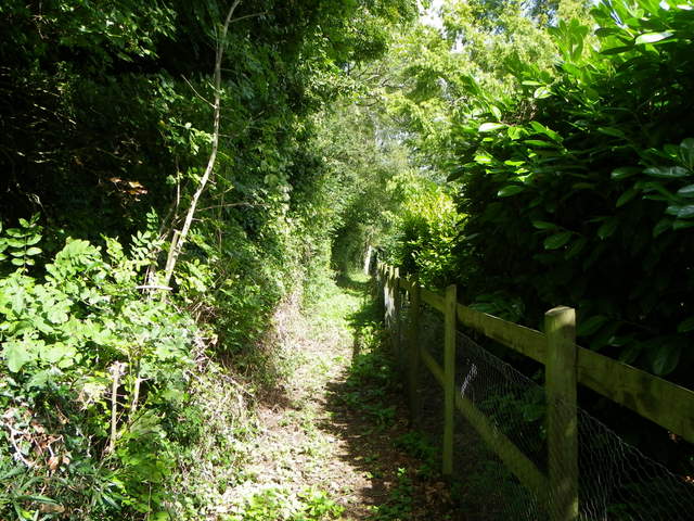
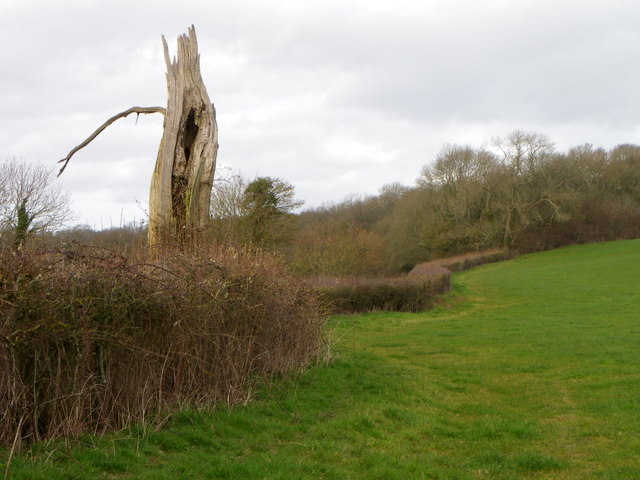
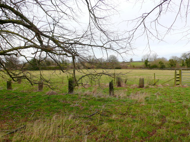
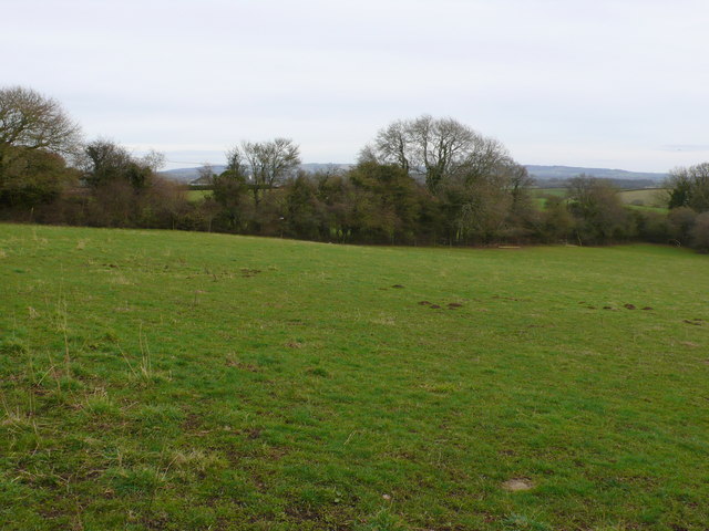
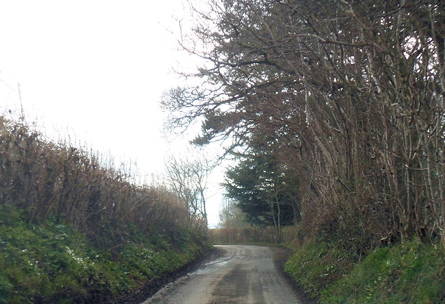
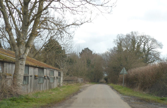
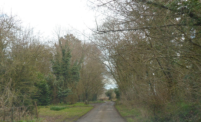
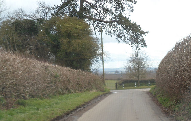
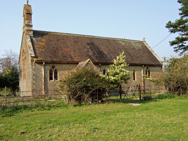
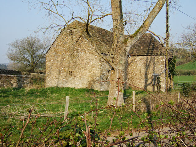
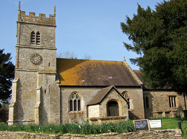
Hanover Hill Images
Images are sourced within 2km of 50.949/-2.4457099 or Grid Reference ST6816. Thanks to Geograph Open Source API. All images are credited.
Hanover Hill is located at Grid Ref: ST6816 (Lat: 50.949, Lng: -2.4457099)
Unitary Authority: Dorset
Police Authority: Dorset
What 3 Words
///paints.buckling.crowns. Near Milborne Port, Somerset
Nearby Locations
Related Wikis

Purse Caundle
Purse Caundle is a village and civil parish in the county of Dorset in southwest England. It lies within the Dorset Council administrative area, about...

Goathill
Goathill is a village and civil parish in the county of Dorset in England, situated in northern Dorset, a couple of miles east of the town of Sherborne...

Goathill Quarry
Goathill Quarry (grid reference ST671175) is a 0.3 hectare geological Site of Special Scientific Interest near Goathill in Dorset, England, notified in...

Ven House
Ven House in Milborne Port, Somerset, England is an English manor house that has been designated as a Grade I listed building.Construction of the smaller...
Have you been to Hanover Hill?
Leave your review of Hanover Hill below (or comments, questions and feedback).