Gragareth
Hill, Mountain in Lancashire Lancaster
England
Gragareth
Gragareth, located in Lancashire, England, is a prominent hill that stands at a height of 627 meters (2,057 feet). It is one of the highest peaks in the region and is part of the Forest of Bowland Area of Outstanding Natural Beauty. Gragareth is situated on the border of Lancashire and North Yorkshire, offering breathtaking panoramic views of both counties.
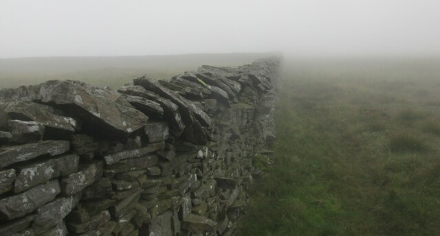
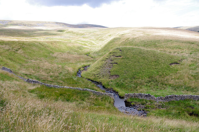
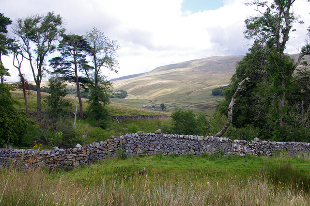
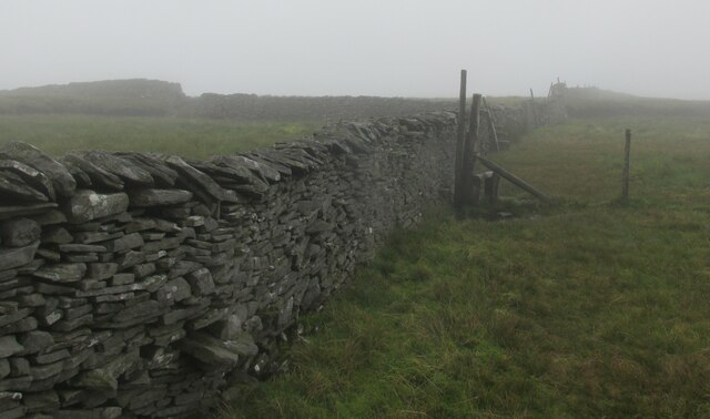
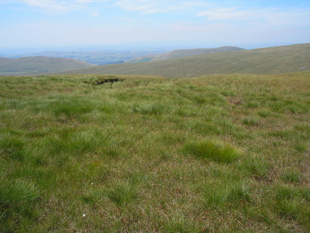
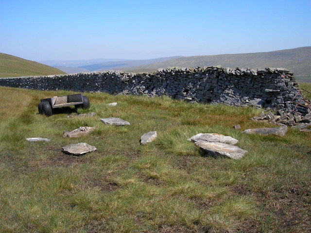
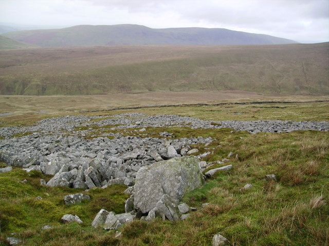
The hill is renowned for its rugged and wild landscape, comprising heather moorland, rocky outcrops, and steep slopes. It is a popular destination for hikers, walkers, and nature enthusiasts, attracting visitors throughout the year. Gragareth is often included in the Yorkshire Dales Three Peaks Challenge, a demanding endurance walk that also encompasses nearby Ingleborough and Whernside.
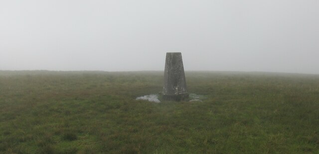
The summit of Gragareth offers stunning vistas of the surrounding countryside, including the Yorkshire Dales to the east and the Forest of Bowland to the west. On clear days, it is even possible to catch a glimpse of the Lake District fells in the distance. The hill's exposed location means that it can experience harsh weather conditions, so appropriate clothing and equipment are essential for those venturing to the summit.
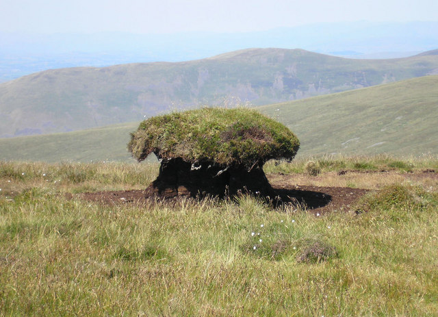
Gragareth is home to a diverse range of wildlife, including rare bird species such as the merlin and peregrine falcon. It also supports a variety of plant life, with heather and bilberry covering its slopes. The area is carefully managed to preserve its natural beauty and ecological importance.
If you have any feedback on the listing, please let us know in the comments section below.
Gragareth Images
Images are sourced within 2km of 54.208537/-2.4799939 or Grid Reference SD6879. Thanks to Geograph Open Source API. All images are credited.


Gragareth is located at Grid Ref: SD6879 (Lat: 54.208537, Lng: -2.4799939)
Administrative County: Lancashire
District: Lancaster
Police Authority: Lancashire
What 3 Words
///gratuity.bucks.dance. Near Ingleton, North Yorkshire
Nearby Locations
Related Wikis

Gragareth
Gragareth is a mountain straddling the border between Lancashire and North Yorkshire in England. At 627 metres (2,057 ft), its summit is the second highest...

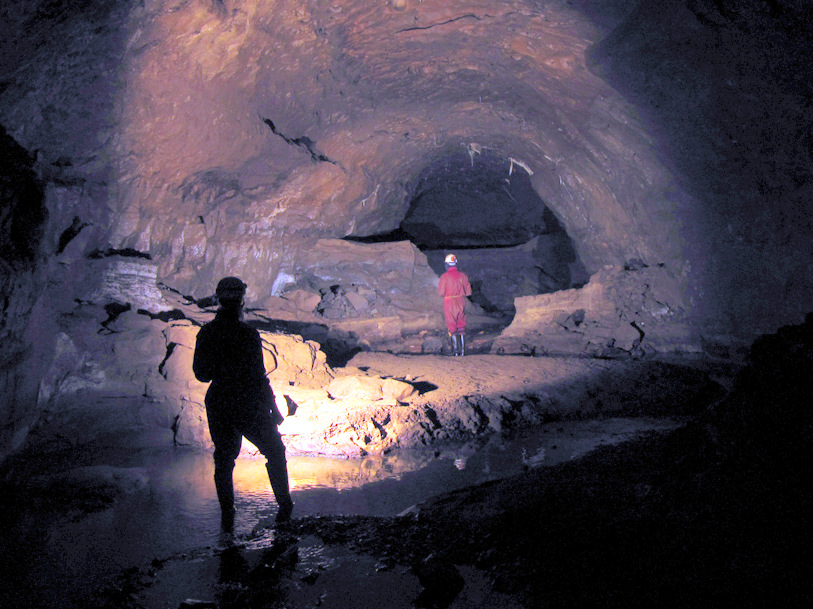
Jingling Pot
Jingling Pot is a limestone cave in West Kingsdale, North Yorkshire, England. Located adjacent to Jingling Beck, it is a lenticular-shaped 45-metre (148...
Aquamole Pot
Aquamole Pot is a limestone cave in West Kingsdale, North Yorkshire, England. It was originally discovered by cave divers who negotiated 168 metres (551...
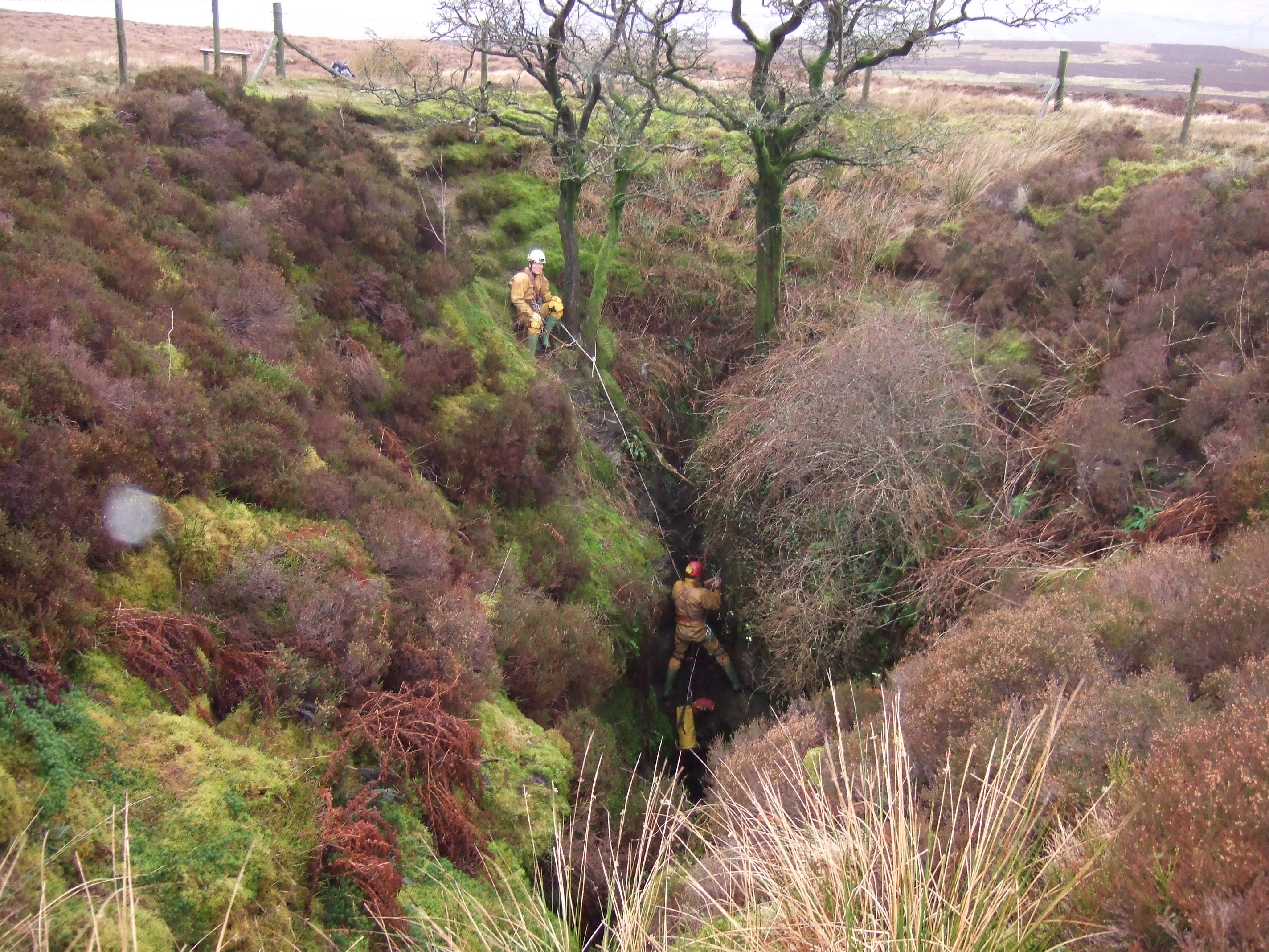
Rumbling Hole
Rumbling Hole is a cave on Leck Fell, in Lancashire, England. Its entrance is a 50-metre (160 ft) deep fenced shaft, and it rapidly descends a series of...

Rowten Pot
Rowten Pot is one of several entrances into the 27-kilometre (17 mi) long cave system that drains Kingsdale in North Yorkshire, England. Its entrance...

Simpson Pot
Named after Eli Simpson, Simpson Pot is a limestone cave in West Kingsdale, North Yorkshire, England. It leads into Swinsto Cave and thence into Kingsdale...
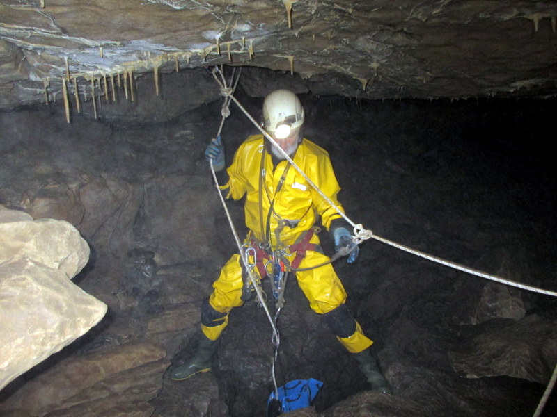
Three Counties System
The Three Counties System is a set of inter-connected limestone solutional cave systems spanning the borders of Cumbria, Lancashire and North Yorkshire...

Short Drop Cave - Gavel Pot System
Short Drop Cave and Gavel Pot are different entrances into the same cave system on Leck Fell, in Lancashire, England. The main top entrance, Short Drop...
Nearby Amenities
Located within 500m of 54.208537,-2.4799939Have you been to Gragareth?
Leave your review of Gragareth below (or comments, questions and feedback).