Woodcock Hill Wood
Wood, Forest in Herefordshire
England
Woodcock Hill Wood
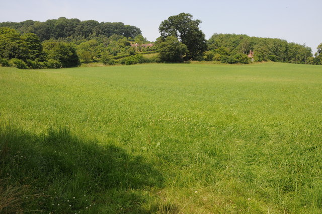
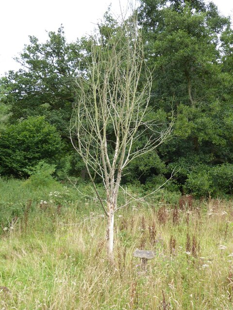
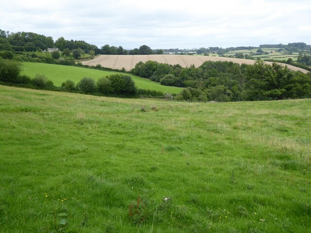
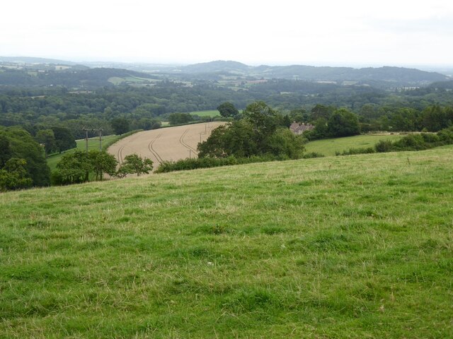
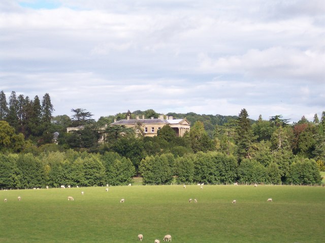
Woodcock Hill Wood is a picturesque woodland located in Herefordshire, England. Covering an area of approximately 20 acres, this ancient woodland is a haven for nature enthusiasts and offers a serene escape from the bustling city life.
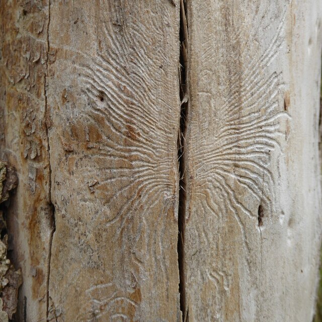
The woodland is predominantly composed of broad-leaved trees such as oak, ash, and beech, which create a dense canopy, allowing only dappled sunlight to filter through. These towering trees provide a habitat for a wide variety of wildlife, including birds, small mammals, and insects.
Woodcock Hill Wood is known for its rich biodiversity, with a diverse range of plant species carpeting the forest floor. Bluebells, wood anemones, and wild garlic are just a few examples of the vibrant wildflowers that bloom during the springtime, creating a stunning display of colors.
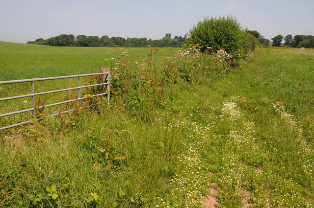
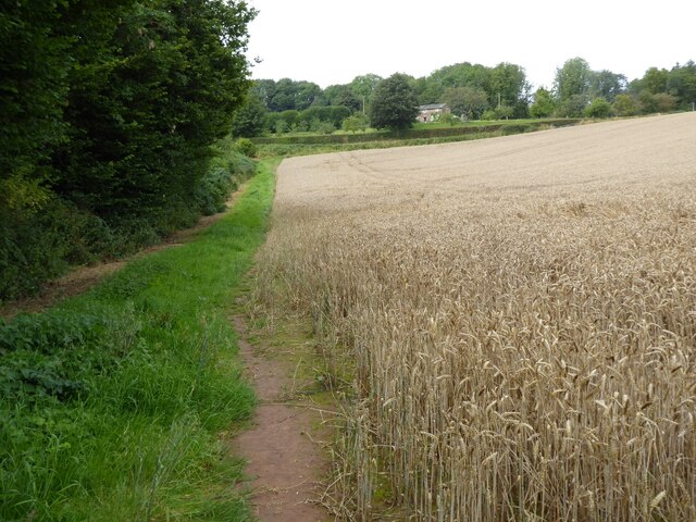
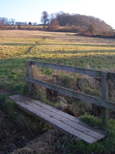
Tranquil walking trails wind their way through the wood, offering visitors the opportunity to explore its natural beauty at their own pace. The peaceful atmosphere and the sound of birdsong make it an ideal spot for a leisurely stroll or a quiet picnic.
In addition to its natural beauty, Woodcock Hill Wood holds historical significance. It is believed that the woodland has been in existence for hundreds of years and has witnessed countless generations of inhabitants. The ancient trees and remnants of old stone walls stand as a testament to the area's rich past.
Woodcock Hill Wood is a hidden gem in Herefordshire, offering a peaceful retreat for those seeking solace in nature's embrace. Whether you are an avid nature lover, a history enthusiast, or simply seeking a break from the daily grind, a visit to Woodcock Hill Wood is sure to leave you feeling refreshed and connected to the natural world.
If you have any feedback on the listing, please let us know in the comments section below.
Woodcock Hill Wood Images
Images are sourced within 2km of 52.208025/-2.4655816 or Grid Reference SO6856. Thanks to Geograph Open Source API. All images are credited.


Woodcock Hill Wood is located at Grid Ref: SO6856 (Lat: 52.208025, Lng: -2.4655816)
Unitary Authority: County of Herefordshire
Police Authority: West Mercia
What 3 Words
///firepower.archives.bibs. Near Bromyard, Herefordshire
Nearby Locations
Related Wikis
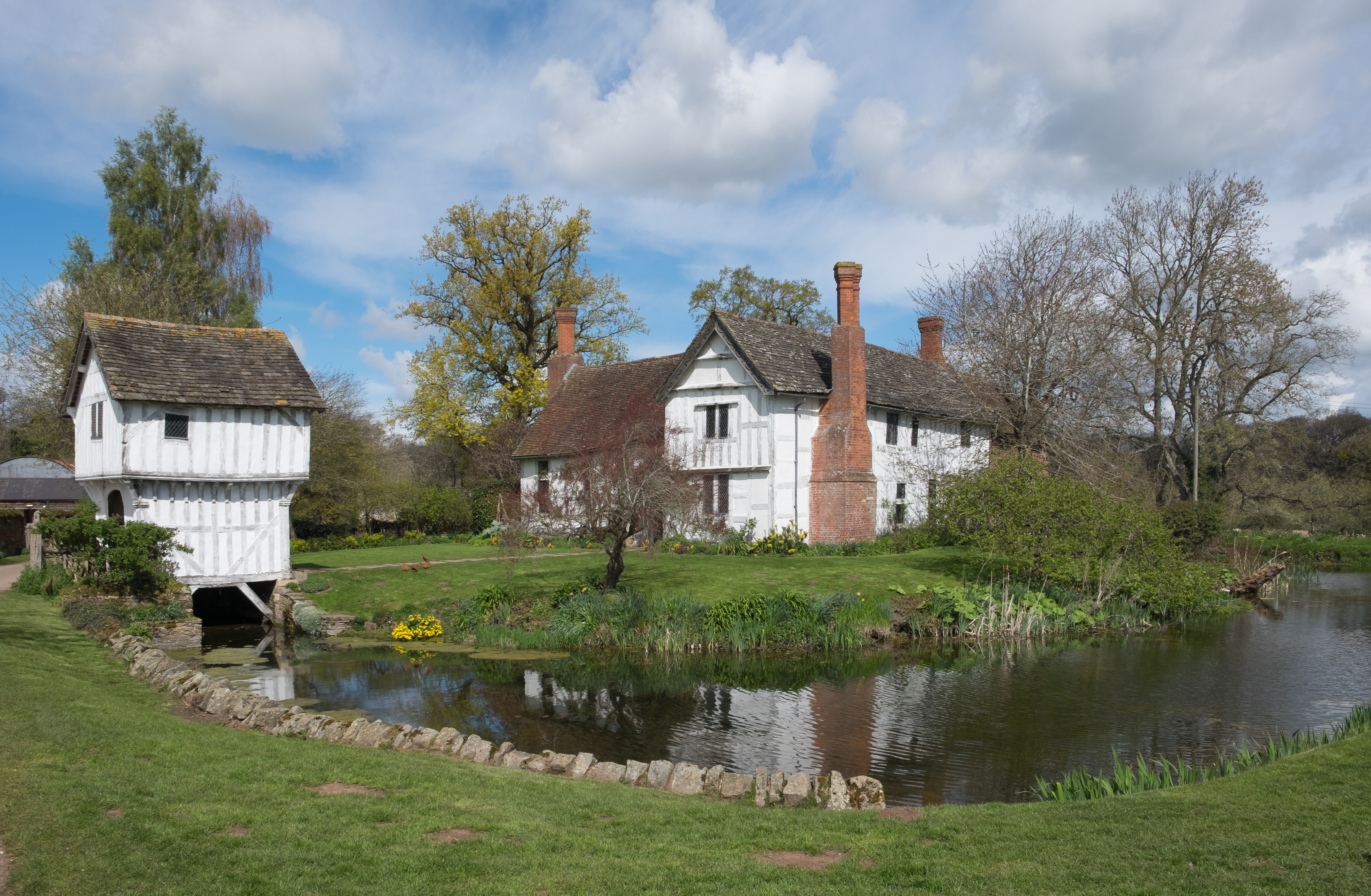
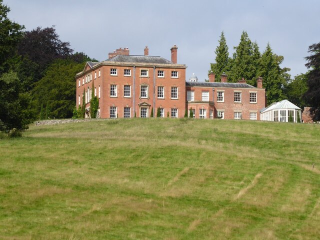
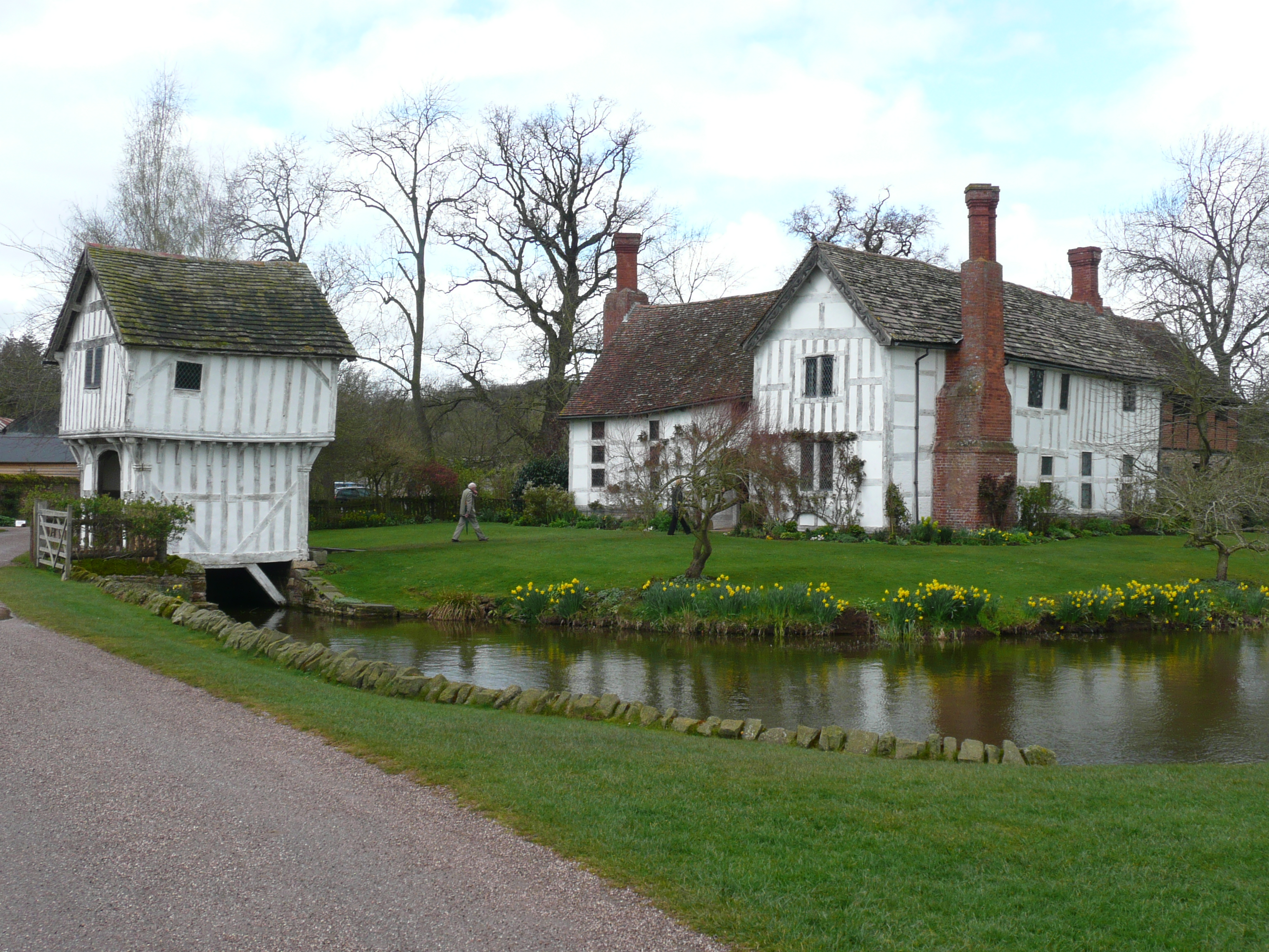
Brockhampton Estate
The Brockhampton Estate is a National Trust property in Herefordshire, England, and is to the north of the A44 Bromyard to Worcester road, opposite the...
Brockhampton (near Bromyard)
Brockhampton is a civil parish in Herefordshire, England, about 4 km (2 mi) east of Bromyard. The parish comprises the National Trust property of Brockhampton...
Bromyard Downs
Bromyard Downs is an area of registered common land, and a scattered settlement, just outside the town of Bromyard in Herefordshire, England. The 114 hectares...
Whitbourne Hall
Whitbourne Hall is a Grade II* listed Greek Revival country house located in the village of Whitbourne in Herefordshire (near the Worcestershire border...

Tedstone Delamere
Tedstone Delamere is a village and civil parish in Herefordshire, England, 3.5 miles (6 km) north-east of Bromyard. The population of the parish at the...

Norton, Herefordshire
Norton is a civil parish in north-east Herefordshire, England, and is approximately 14 miles (23 km) north-east from the city and county town of Hereford...

Tedstone Wafer
Tedstone Wafer is a village and civil parish 16 miles (26 km) north east of Hereford, in the county of Herefordshire, England. In 2011 the parish had a...
Edvin Loach
Edvin Loach, also Edwin Loach, is a village and former civil parish, now in the parish of Edvin Loach and Saltmarshe, in east Herefordshire, England, and...
Nearby Amenities
Located within 500m of 52.208025,-2.4655816Have you been to Woodcock Hill Wood?
Leave your review of Woodcock Hill Wood below (or comments, questions and feedback).