Paradise Wood

Wood, Forest in Herefordshire

England

Paradise Wood

Whitbourne Hall, Whitbourne Actually only a distant view of part of the imposing Greek Ionic portico, inspired by the Erechtheum in Athens. All the work of E.W. Elmslie, 1860-62, for Edward Bickerton Evans, banker, wine and vinegar brewer, and amateur archaeologist. The date is late for such a revival building. Grade II* listed.
A closer view: <a href="https://www.geograph.org.uk/photo/688419">SO7056 : Whitbourne Hall</a>.
Whitbourne Hall, Whitbourne Credit: Stephen Richards

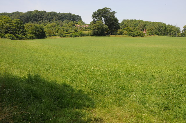
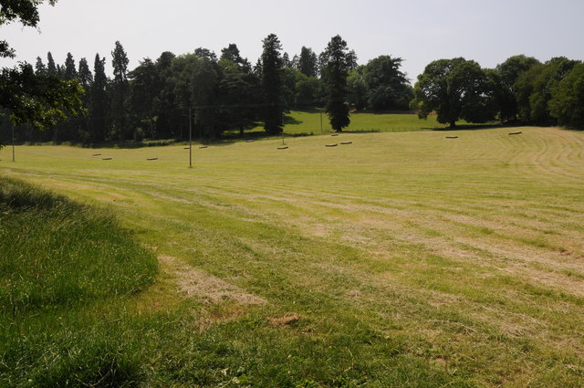
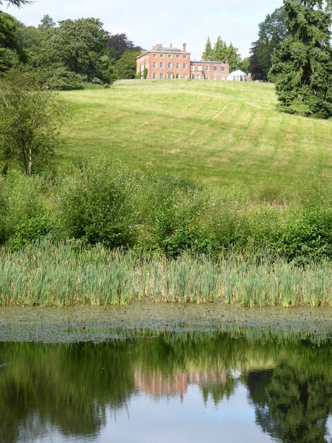
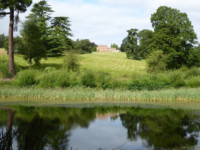
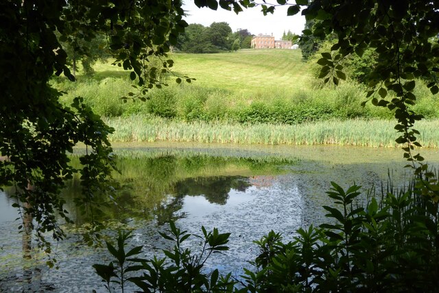
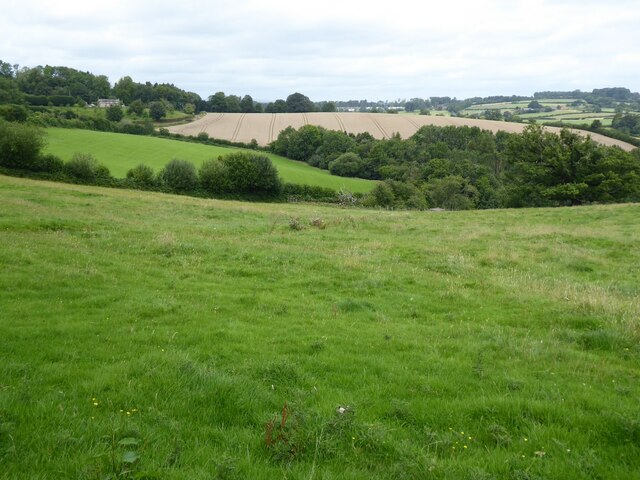
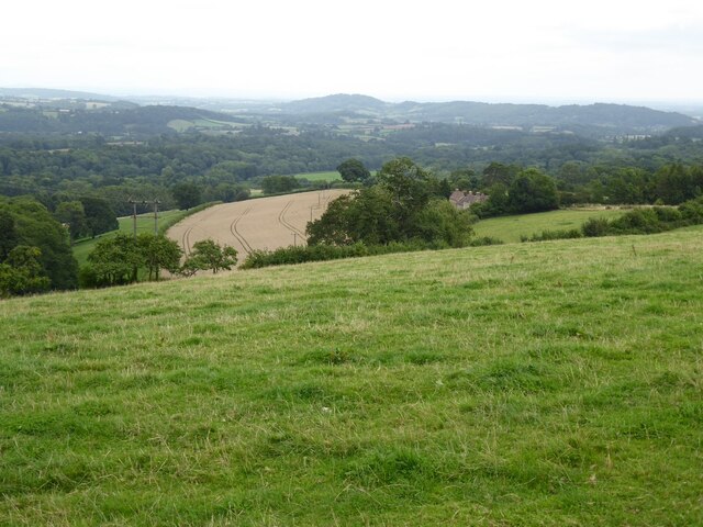
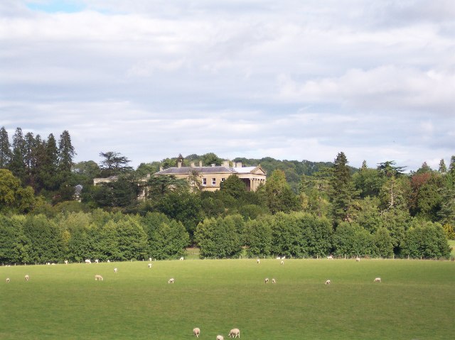
Paradise Wood is a picturesque forest located in the county of Herefordshire, England. Covering an area of approximately 500 acres, this enchanting woodland is a haven for nature enthusiasts and outdoor enthusiasts alike.

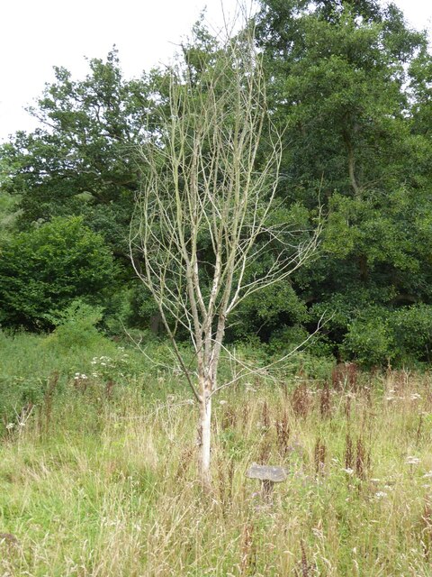
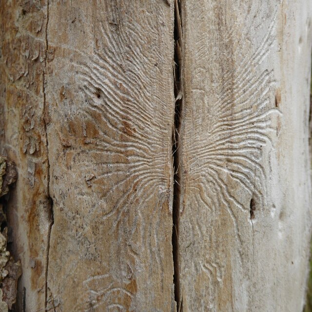
The wood is famous for its diverse range of tree species, including oak, ash, beech, and birch, which create a stunning canopy of foliage throughout the year. The forest floor is carpeted with a rich assortment of wildflowers, providing a vibrant burst of color during the spring and summer months.

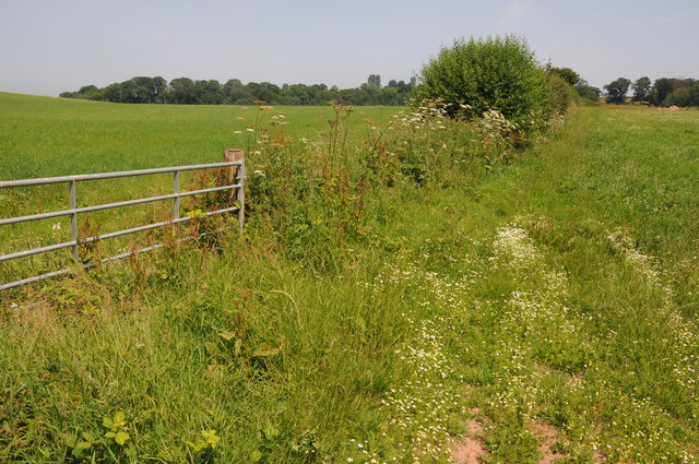
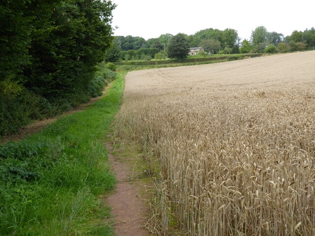
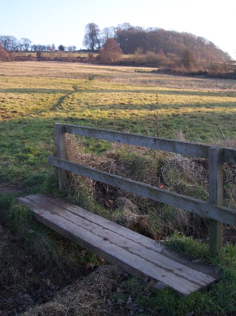
Traversing through Paradise Wood, visitors will come across a network of well-maintained trails that offer a chance to explore the area's natural beauty. These paths wind through ancient groves and alongside babbling streams, providing a peaceful and serene atmosphere.

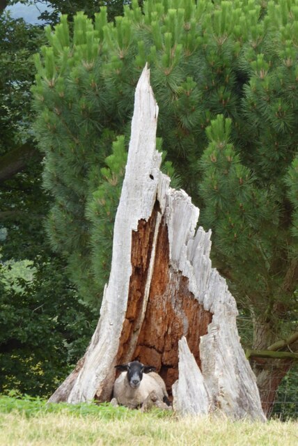
In addition to its natural splendor, Paradise Wood is home to a variety of wildlife. Deer, rabbits, and squirrels can often be spotted darting through the undergrowth, while a chorus of birdsong fills the air. The forest also acts as a sanctuary for a range of bird species, making it a popular destination for birdwatching enthusiasts.

Paradise Wood is a place where visitors can escape the hustle and bustle of daily life and immerse themselves in the tranquility of nature. Whether it's a leisurely stroll through the woods, a picnic by the stream, or simply sitting in peaceful contemplation, this idyllic woodland offers a slice of paradise in the heart of Herefordshire.

If you have any feedback on the listing, please let us know in the comments section below.

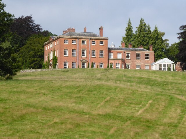
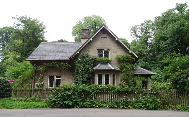
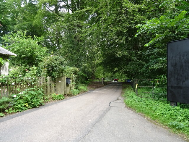
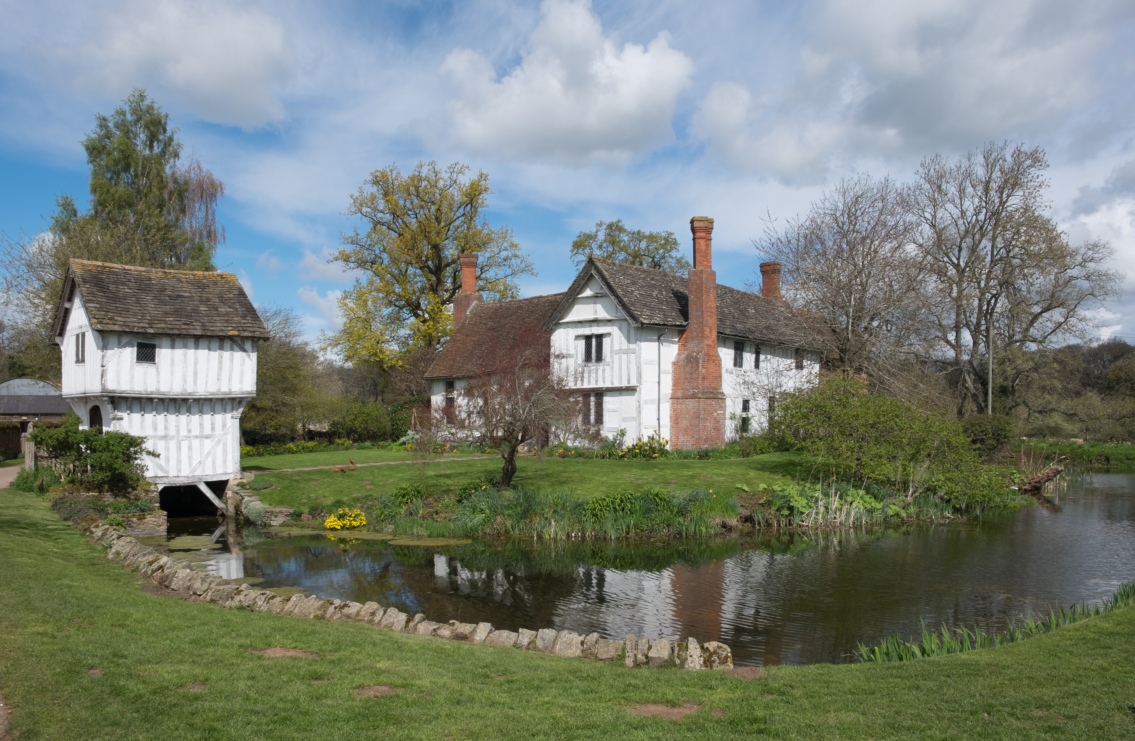
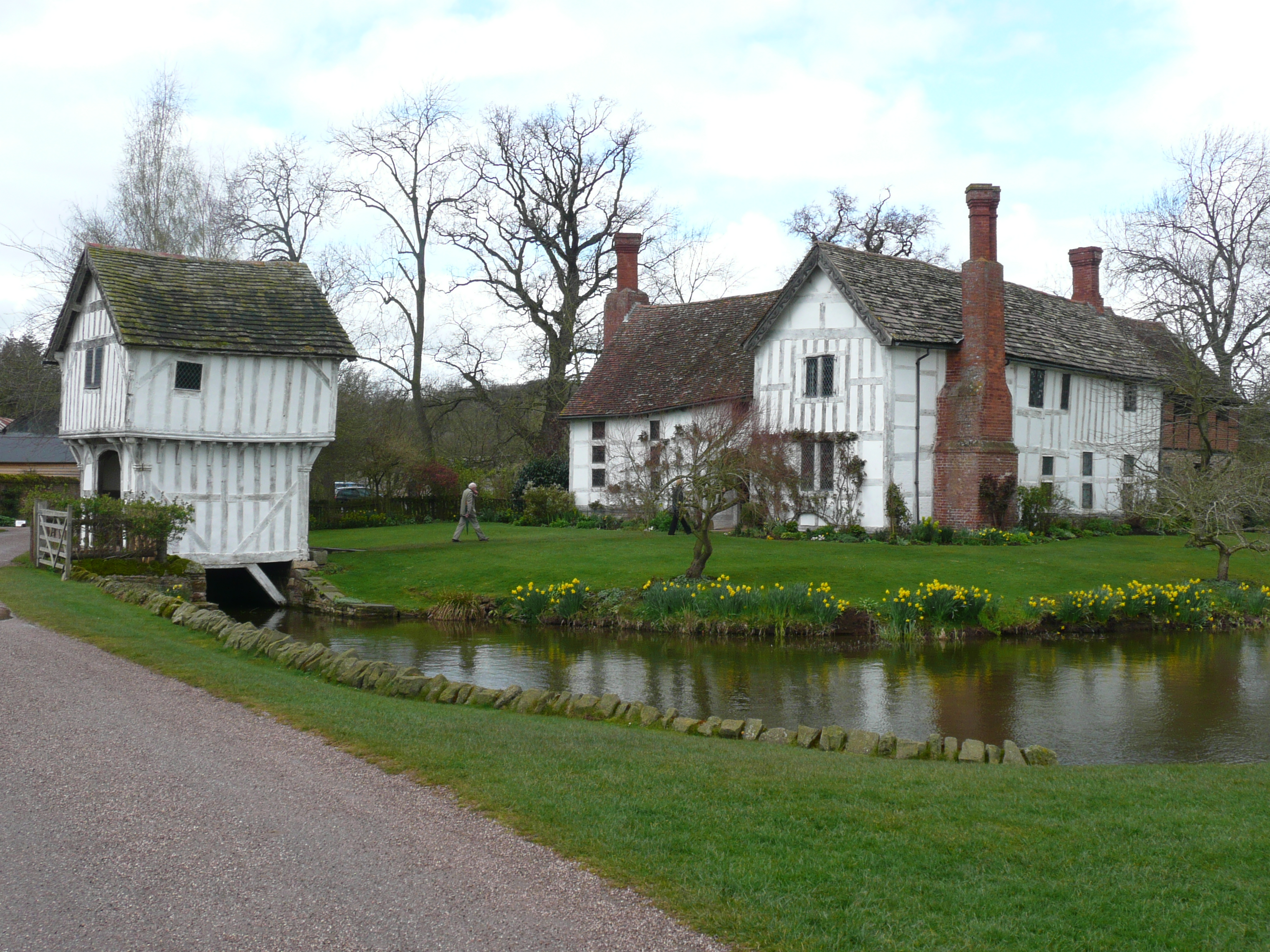
Paradise Wood Images

Images are sourced within 2km of 52.205266/-2.4585288 or Grid Reference SO6856. Thanks to Geograph Open Source API. All images are credited.

Whitbourne Hall, Whitbourne Actually only a distant view of part of the imposing Greek Ionic portico, inspired by the Erechtheum in Athens. All the work of E.W. Elmslie, 1860-62, for Edward Bickerton Evans, banker, wine and vinegar brewer, and amateur archaeologist. The date is late for such a revival building. Grade II* listed.
A closer view: <a href="https://www.geograph.org.uk/photo/688419">SO7056 : Whitbourne Hall</a>.
Whitbourne Hall, Whitbourne
Actually only a distant view of part of the imposing Greek Ionic portico, inspired by the Erechtheum in Athens. All the work of E.W. Elmslie, 1860-62, for Edward Bickerton Evans, banker, wine and vinegar brewer, and amateur archaeologist. The date is late for such a revival building. Grade II* listed. A closer view: SO7056 : Whitbourne Hall.
Farmland near Bradley Wood Common
Farmland near Whitbourne
Lodge to Whitbourne Hall
Baled hay Baled hay in a field at Whitbourne.
Baled hay
Baled hay in a field at Whitbourne.
Ewe in hollow tree stump I couldn't resist photographing this ewe sitting inside a hollow tree stump when I saw it on the Brockhampton estate.
Ewe in hollow tree stump
I couldn't resist photographing this ewe sitting inside a hollow tree stump when I saw it on the Brockhampton estate.
Brockhampton House reflected in Lawn Pool Brockhampton House reflected in Lawn Pool on the Brockhampton Estate.
Brockhampton House reflected in Lawn Pool
Brockhampton House reflected in Lawn Pool on the Brockhampton Estate.
Lawn Pool, Brockhampton Brockhampton House reflected in Lawn Pool on the Brockhampton estate.
Lawn Pool, Brockhampton
Brockhampton House reflected in Lawn Pool on the Brockhampton estate.
Lawn Pool, Brockhampton rockhampton House reflected in Lawn Pool on the Brockhampton estate.
Lawn Pool, Brockhampton
rockhampton House reflected in Lawn Pool on the Brockhampton estate.
Brockhampton Park Brockhampton Park is a mid-18th century red-brick Georgian house, here it is viewed from Lawn Pool.  The house is Grade II* listed, see: <span class="nowrap"><a title="https://historicengland.org.uk/listing/the-list/list-entry/1176659" rel="nofollow ugc noopener" href="https://historicengland.org.uk/listing/the-list/list-entry/1176659">Link</a><img style="margin-left:2px;" alt="External link" title="External link - shift click to open in new window" src="https://s1.geograph.org.uk/img/external.png" width="10" height="10"/></span> The house is private amidst National Trust owned parkland.
Brockhampton Park
Brockhampton Park is a mid-18th century red-brick Georgian house, here it is viewed from Lawn Pool. The house is Grade II* listed, see: LinkExternal link The house is private amidst National Trust owned parkland.
Lower Brockhampton  Lower Brockhampton is a moated half-timbered manor house dating from the late 14th century, complete with a timber-framed gatehouse straddling the moat. The Brockhampton Estate was bequeathed to the National Trust in 1946 by Colonel John Talbot Lutley. The house is Grade I listed.
Lower Brockhampton
Lower Brockhampton is a moated half-timbered manor house dating from the late 14th century, complete with a timber-framed gatehouse straddling the moat. The Brockhampton Estate was bequeathed to the National Trust in 1946 by Colonel John Talbot Lutley. The house is Grade I listed.
A dead wych elm I remember elm trees being a common tree before Dutch elm disease wiped them out in the 1970s.  Three years ago I was surprised to see a young wych elm tree growing here <a href="https://www.geograph.org.uk/photo/5786065">SO6856 : A wych elm at Lower Brockhampton</a> and sadly as appears to happen the young trees still succumb to this disease.
A dead wych elm
I remember elm trees being a common tree before Dutch elm disease wiped them out in the 1970s. Three years ago I was surprised to see a young wych elm tree growing here SO6856 : A wych elm at Lower Brockhampton and sadly as appears to happen the young trees still succumb to this disease.
Dutch elm disease This pattern on the trunk of a dead wych elm tree was caused by the elm bark beetle which carries the fungi which causes Dutch elm disease and killed the tree.
Dutch elm disease
This pattern on the trunk of a dead wych elm tree was caused by the elm bark beetle which carries the fungi which causes Dutch elm disease and killed the tree.
Permissive footpath Permissive footpath in a field of wheat approaching a cottage on the edge of the Bromyard Downs.
Permissive footpath
Permissive footpath in a field of wheat approaching a cottage on the edge of the Bromyard Downs.
Farmland on the Bromyard Downs Farmland to the north of Hill House Farm on the Bromyard Downs.
Farmland on the Bromyard Downs
Farmland to the north of Hill House Farm on the Bromyard Downs.
View over Brockhampton View over Brockhampton to the Teme valley.
View over Brockhampton
View over Brockhampton to the Teme valley.
Bromyard Lodge West lodge to Brockhampton Park off the A44.
Bromyard Lodge
West lodge to Brockhampton Park off the A44.
Entrance to Brockhampton Park
Show me another place!

Paradise Wood is located at Grid Ref: SO6856 (Lat: 52.205266, Lng: -2.4585288)

Unitary Authority: County of Herefordshire

Police Authority: West Mercia

What 3 Words

///clef.loopholes.quietly. Near Bromyard, Herefordshire

Related Wikis

Brockhampton Estate

The Brockhampton Estate is a National Trust property in Herefordshire, England, and is to the north of the A44 Bromyard to Worcester road, opposite the...

Brockhampton (near Bromyard)

Brockhampton is a civil parish in Herefordshire, England, about 4 km (2 mi) east of Bromyard. The parish comprises the National Trust property of Brockhampton...
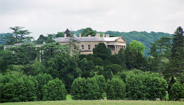
Whitbourne Hall

Whitbourne Hall is a Grade II* listed Greek Revival country house located in the village of Whitbourne in Herefordshire (near the Worcestershire border...

Bringsty Common

Bringsty Common is a scattered settlement and 220 acres (89 ha) of common land in Herefordshire, England, spanning the A44. It lies close to the Worcestershire...

Tedstone Delamere

Tedstone Delamere is a village and civil parish in Herefordshire, England, 3.5 miles (6 km) north-east of Bromyard. The population of the parish at the...

Bromyard Downs

Bromyard Downs is an area of registered common land, and a scattered settlement, just outside the town of Bromyard in Herefordshire, England. The 114 hectares...

Linton (near Bromyard)

Linton is a civil parish in north-east of Herefordshire, England, and is approximately 14 miles (23 km) north-east from the city and county town of Hereford...

Norton, Herefordshire

Norton is a civil parish in north-east Herefordshire, England, and is approximately 14 miles (23 km) north-east from the city and county town of Hereford...

Nearby Amenities

Located within 500m of 52.205266,-2.4585288
Toilets
Lat/Long: 52.2013818/-2.4594459
Entrance: yes
Lat/Long: 52.2012725/-2.4586681
Cafe
Lat/Long: 52.2012006/-2.4593201
Shop: gift
Source: survey
Lat/Long: 52.2012263/-2.4592759
Shop: books
Source: survey
Lat/Long: 52.2010422/-2.4588119
Place Of Worship
Chapel
Condition: Ruins
Religion: christian
Lat/Long: 52.2016198/-2.4592182
Power: pole
Lat/Long: 52.2093686/-2.4599049
Power: pole
Lat/Long: 52.2095355/-2.4578516
Power: pole
Lat/Long: 52.2092314/-2.4583887
Briary Cottage
Power: pole
Transformer: distribution
Voltage Primary: 11000
Lat/Long: 52.2049545/-2.4517469
Power: pole
Lat/Long: 52.2054797/-2.4523571
Power: pole
Lat/Long: 52.2061545/-2.4531269
Power: pole
Lat/Long: 52.2068243/-2.4538779
Power: pole
Lat/Long: 52.2076198/-2.4547899
The Farm Brockhampton
Power: pole
Transformer: distribution
Voltage Primary: 11000
Lat/Long: 52.2082584/-2.4555074
Power: pole
Lat/Long: 52.2089528/-2.4557327
Power: pole
Lat/Long: 52.2014285/-2.4574962
Power: pole
Lat/Long: 52.2009378/-2.4568203
Lower Brockhampton Bromyard
Power: pole
Transformer: distribution
Voltage Primary: 11000
Lat/Long: 52.2015999/-2.4577524
The data included in this document is from www.openstreetmap.org. The data is made available under ODbL.

Have you been to Paradise Wood?

Leave your review of Paradise Wood below (or comments, questions and feedback).