Tut's Wood

Wood, Forest in Gloucestershire

England

Tut's Wood

St James the Great Church, Abson This fine Grade I listed church is in a very small hamlet <span class="nowrap"><a title="https://historicengland.org.uk/listing/the-list/list-entry/1216114?section=official-list-entry" rel="nofollow ugc noopener" href="https://historicengland.org.uk/listing/the-list/list-entry/1216114?section=official-list-entry">Link</a><img style="margin-left:2px;" alt="External link" title="External link - shift click to open in new window" src="https://s1.geograph.org.uk/img/external.png" width="10" height="10"/></span>
St James the Great Church, Abson Credit: Brian Robert Marshall

Tut's Wood is a picturesque woodland located in Gloucestershire, England. Nestled in the heart of the Forest of Dean, this ancient woodland covers an area of approximately 30 acres. It is named after the nearby village of Tutshill and has become a popular destination for nature lovers and outdoor enthusiasts.

The woodland is predominantly composed of mixed deciduous trees, including oak, beech, and ash. The dense canopy creates a tranquil and shaded environment, providing a habitat for a variety of wildlife. Visitors to Tut's Wood can expect to encounter a diverse range of bird species, such as woodpeckers, tits, and thrushes, as well as small mammals like squirrels and foxes.

Tut's Wood offers a network of well-maintained footpaths and trails, making it an ideal location for walking, jogging, or simply immersing oneself in nature. The paths wind through the woods, revealing stunning views, wildflowers, and occasional glimpses of the surrounding countryside.

This woodland also holds historical significance, as it is believed to have been part of the ancient Royal Forest of Dean. The area is rich in archaeological finds, with evidence of human activity dating back thousands of years. Visitors may stumble upon remnants of Iron Age settlements or even discover hidden caves and Roman ruins.

Tut's Wood is a haven for nature enthusiasts, history buffs, and those seeking a peaceful retreat amidst the natural beauty of Gloucestershire's woodlands. With its diverse flora and fauna, scenic trails, and historical intrigue, it offers a captivating experience for all who explore its enchanting surroundings.

If you have any feedback on the listing, please let us know in the comments section below.
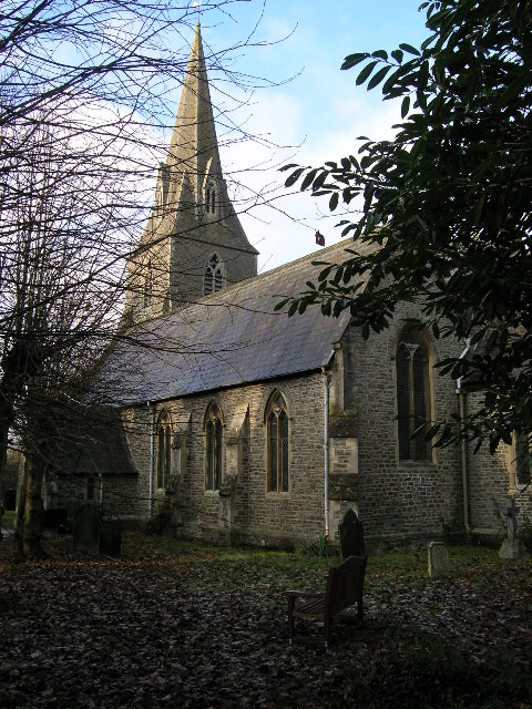
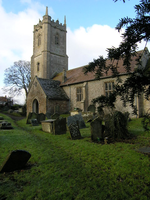
Tut's Wood Images

Images are sourced within 2km of 51.468545/-2.4509867 or Grid Reference ST6874. Thanks to Geograph Open Source API. All images are credited.

St James the Great Church, Abson This fine Grade I listed church is in a very small hamlet <span class="nowrap"><a title="https://historicengland.org.uk/listing/the-list/list-entry/1216114?section=official-list-entry" rel="nofollow ugc noopener" href="https://historicengland.org.uk/listing/the-list/list-entry/1216114?section=official-list-entry">Link</a><img style="margin-left:2px;" alt="External link" title="External link - shift click to open in new window" src="https://s1.geograph.org.uk/img/external.png" width="10" height="10"/></span>
St James the Great Church, Abson
This fine Grade I listed church is in a very small hamlet LinkExternal link
Sundial, St James the Great Church, Abson The 18th century sundial is a fairly recent feature. The church itself <a href="https://www.geograph.org.uk/photo/7425517">ST7074 : St James the Great Church, Abson</a> has its origins in the 12th century.
Sundial, St James the Great Church, Abson
The 18th century sundial is a fairly recent feature. The church itself ST7074 : St James the Great Church, Abson has its origins in the 12th century.
Entering Wick from the north
Barrage balloon mooring site The semi-circle of more scrubby looking grass is the location of a World War Two barrage balloon mooring site in Pucklechurch. There are various small concrete pads set into this area of ground, some with metal rings attached, and also the outline of a small building. The exposed concrete in the foreground is the most obvious feature that would be evident to a casual observer visiting this site.
Barrage balloon mooring site
The semi-circle of more scrubby looking grass is the location of a World War Two barrage balloon mooring site in Pucklechurch. There are various small concrete pads set into this area of ground, some with metal rings attached, and also the outline of a small building. The exposed concrete in the foreground is the most obvious feature that would be evident to a casual observer visiting this site.
Church Farm, Abson From beside the churchyard wall, which has "heavy slag block coping" <span class="nowrap"><a title="http://list.historicengland.org.uk/resultsingle.aspx?uid=1216134&searchtype=mapsearch" rel="nofollow ugc noopener" href="http://list.historicengland.org.uk/resultsingle.aspx?uid=1216134&searchtype=mapsearch">Link</a><img style="margin-left:2px;" alt="External link" title="External link - shift click to open in new window" src="https://s1.geograph.org.uk/img/external.png" width="10" height="10"/></span> . The building on the left, with its catslide roof, is listed as an C18 stable <span class="nowrap"><a title="http://list.historicengland.org.uk/resultsingle.aspx?uid=1287709&searchtype=mapsearch" rel="nofollow ugc noopener" href="http://list.historicengland.org.uk/resultsingle.aspx?uid=1287709&searchtype=mapsearch">Link</a><img style="margin-left:2px;" alt="External link" title="External link - shift click to open in new window" src="https://s1.geograph.org.uk/img/external.png" width="10" height="10"/></span> . The farmhouse on the right has C17 origins <span class="nowrap"><a title="http://list.historicengland.org.uk/resultsingle.aspx?uid=1216146&searchtype=mapsearch" rel="nofollow ugc noopener" href="http://list.historicengland.org.uk/resultsingle.aspx?uid=1216146&searchtype=mapsearch">Link</a><img style="margin-left:2px;" alt="External link" title="External link - shift click to open in new window" src="https://s1.geograph.org.uk/img/external.png" width="10" height="10"/></span> .
Church Farm, Abson
From beside the churchyard wall, which has "heavy slag block coping" LinkExternal link . The building on the left, with its catslide roof, is listed as an C18 stable LinkExternal link . The farmhouse on the right has C17 origins LinkExternal link .
Lodge Road Approaching Abson; the church tower can be seen above the hedge on the right.
Lodge Road
Approaching Abson; the church tower can be seen above the hedge on the right.
Church of St James the Great, Abson The grade I listed <span class="nowrap"><a title="http://list.historicengland.org.uk/resultsingle.aspx?uid=1216114&searchtype=mapsearch" rel="nofollow ugc noopener" href="http://list.historicengland.org.uk/resultsingle.aspx?uid=1216114&searchtype=mapsearch">Link</a><img style="margin-left:2px;" alt="External link" title="External link - shift click to open in new window" src="https://s1.geograph.org.uk/img/external.png" width="10" height="10"/></span> church has a C15 tower. On the left is part of Church Farm - see <a href="https://www.geograph.org.uk/photo/4498687">ST7074 : Church Farm, Abson</a>.
Church of St James the Great, Abson
The grade I listed LinkExternal link church has a C15 tower. On the left is part of Church Farm - see ST7074 : Church Farm, Abson.
Gate and stile, Abson With a stile "formed by limestone panel with freestone piers to each side, splayed at sides; cast iron gate with spear tops to rails and trefoil finials, plain square piers" <span class="nowrap"><a title="http://list.historicengland.org.uk/resultsingle.aspx?uid=1216134&searchtype=mapsearch" rel="nofollow ugc noopener" href="http://list.historicengland.org.uk/resultsingle.aspx?uid=1216134&searchtype=mapsearch">Link</a><img style="margin-left:2px;" alt="External link" title="External link - shift click to open in new window" src="https://s1.geograph.org.uk/img/external.png" width="10" height="10"/></span> , this is along the churchyard wall.
Gate and stile, Abson
With a stile "formed by limestone panel with freestone piers to each side, splayed at sides; cast iron gate with spear tops to rails and trefoil finials, plain square piers" LinkExternal link , this is along the churchyard wall.
Tower, Church of St James the Great, Abson The C15 tower of the grade I listed church <span class="nowrap"><a title="http://list.historicengland.org.uk/resultsingle.aspx?uid=1216114&searchtype=mapsearch" rel="nofollow ugc noopener" href="http://list.historicengland.org.uk/resultsingle.aspx?uid=1216114&searchtype=mapsearch">Link</a><img style="margin-left:2px;" alt="External link" title="External link - shift click to open in new window" src="https://s1.geograph.org.uk/img/external.png" width="10" height="10"/></span> also shown in <a href="https://www.geograph.org.uk/photo/4504848">ST7074 : Church of St James the Great, Abson</a>.
Tower, Church of St James the Great, Abson
The C15 tower of the grade I listed church LinkExternal link also shown in ST7074 : Church of St James the Great, Abson.
Churchyard, Abson Colourful alliums in the churchyard, which contains a number of listed monuments. I think the chest tomb on the right may be the Noble monument described at <span class="nowrap"><a title="http://list.historicengland.org.uk/resultsingle.aspx?uid=1287719&searchtype=mapsearch" rel="nofollow ugc noopener" href="http://list.historicengland.org.uk/resultsingle.aspx?uid=1287719&searchtype=mapsearch">Link</a><img style="margin-left:2px;" alt="External link" title="External link - shift click to open in new window" src="https://s1.geograph.org.uk/img/external.png" width="10" height="10"/></span> .
Churchyard, Abson
Colourful alliums in the churchyard, which contains a number of listed monuments. I think the chest tomb on the right may be the Noble monument described at LinkExternal link .
Doorway, Church of St James the Great, Abson The Norman doorway in the porch of the grade I listed church <span class="nowrap"><a title="http://list.historicengland.org.uk/resultsingle.aspx?uid=1216114&searchtype=mapsearch" rel="nofollow ugc noopener" href="http://list.historicengland.org.uk/resultsingle.aspx?uid=1216114&searchtype=mapsearch">Link</a><img style="margin-left:2px;" alt="External link" title="External link - shift click to open in new window" src="https://s1.geograph.org.uk/img/external.png" width="10" height="10"/></span> . "Inner door has round head, jamb shafts with scalloped capitals, roll-moulded head".
Doorway, Church of St James the Great, Abson
The Norman doorway in the porch of the grade I listed church LinkExternal link . "Inner door has round head, jamb shafts with scalloped capitals, roll-moulded head".
Parish Church at  Wick The parish church of St. Bartholomew at Wick, on the north side of the A420.
Parish Church at Wick
The parish church of St. Bartholomew at Wick, on the north side of the A420.
ST688751 Siston Lane looking N past Parish Church On Siston Lane looking north past the Parish Church of St. Anne Syston (note the different spelling of Siston!). Siston Court is in the trees on the left.
ST688751 Siston Lane looking N past Parish Church
On Siston Lane looking north past the Parish Church of St. Anne Syston (note the different spelling of Siston!). Siston Court is in the trees on the left.
Shortwood (Glos) Primitive Methodist Chapel
Warmley, South Gloucestershire, St Barnabas Parish Church Built 1849-50, this church is really only photogenic in the winter as the large number of mature trees in the churchyard hide much of it from view when in leaf!
Warmley, South Gloucestershire, St Barnabas Parish Church
Built 1849-50, this church is really only photogenic in the winter as the large number of mature trees in the churchyard hide much of it from view when in leaf!
Bridgeyate, South Gloucestershire, Chapel and Pub Across the common are two odd neighbours. The White Harte pub dates from the early C18, its teetotal neighbour is the Ebenezer Methodist Chapel of 1810
Bridgeyate, South Gloucestershire, Chapel and Pub
Across the common are two odd neighbours. The White Harte pub dates from the early C18, its teetotal neighbour is the Ebenezer Methodist Chapel of 1810
Leaving Pucklechurch, South Gloucestershire I like the dramatic lighting in this shot. We are looking towards Abson church (far right above the road) and the dramatic row of trees on the hilltop near Lansdown in Bath (far distance)
Leaving Pucklechurch, South Gloucestershire
I like the dramatic lighting in this shot. We are looking towards Abson church (far right above the road) and the dramatic row of trees on the hilltop near Lansdown in Bath (far distance)
Abson, South Gloucestershire, Church of St James the Great Has lost a pinnacle. Of great antiquity, with a pagan erotic carving in the east wall of the chancel.
Abson, South Gloucestershire, Church of St James the Great
Has lost a pinnacle. Of great antiquity, with a pagan erotic carving in the east wall of the chancel.
Show me another place!

Tut's Wood is located at Grid Ref: ST6874 (Lat: 51.468545, Lng: -2.4509867)

Unitary Authority: South Gloucestershire

Police Authority: Avon and Somerset

What 3 Words

///waddled.spice.names. Near Siston, Gloucestershire

Related Wikis

Abson

Abson is a small village in South Gloucestershire, England, it forms part of the civil parish of Wick and Abson. == Location == Abson is located on a minor...

Siston

Siston (pronounced "sizeton") is a small village in South Gloucestershire, England. It is 7 miles (11 km) east of Bristol at the confluence of the two...
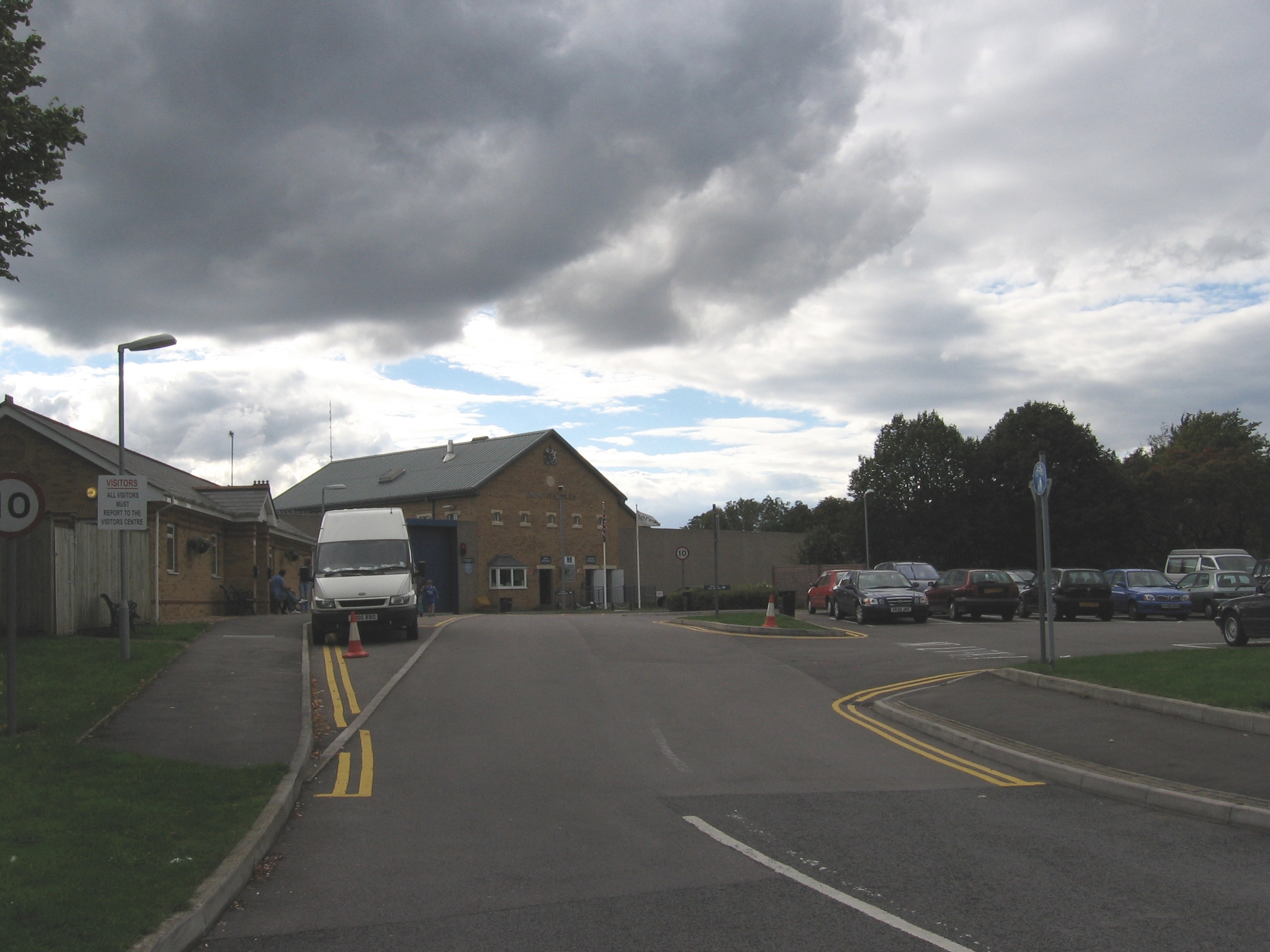
HM Prison Ashfield

HM Prison Ashfield (formerly Pucklechurch Remand Centre) is an adult male sex offenders prison located in the village of Pucklechurch (near Bristol), in...

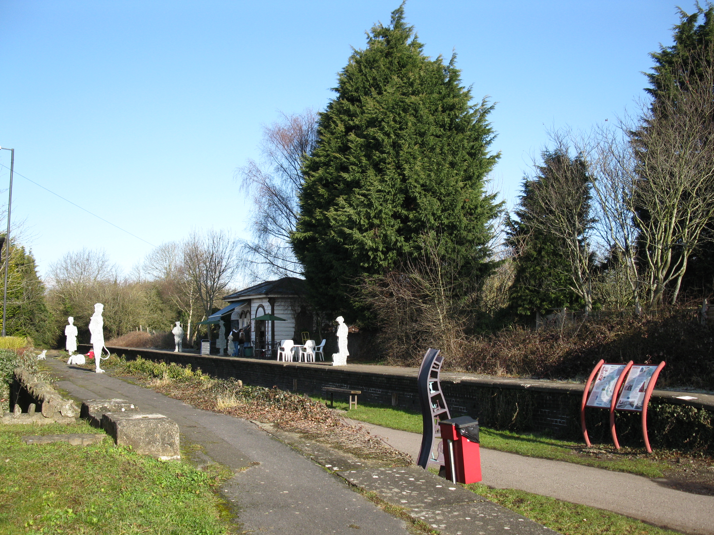
Warmley railway station

Warmley was a small railway station just south of Mangotsfield on the Midland Railway Mangotsfield and Bath Branch Line. The station was sited just north...

Nearby Amenities

Located within 500m of 51.468545,-2.4509867
Power: tower
Source: Bing
Lat/Long: 51.4659269/-2.455889
Barrier: kissing_gate
Lat/Long: 51.47241/-2.4522826
Barrier: kissing_gate
Bicycle: no
Foot: yes
Lat/Long: 51.4705782/-2.4562984
Fixme: Where do I go?
Lat/Long: 51.4712194/-2.4564657
Barrier: kissing_gate
Bicycle: no
Foot: yes
Lat/Long: 51.4722285/-2.4522266
Power: pole
Lat/Long: 51.4708908/-2.4450996
Power: pole
Lat/Long: 51.470981/-2.447538
Power: pole
Lat/Long: 51.4710421/-2.4489374
Power: pole
Lat/Long: 51.4711169/-2.4502496
Power: pole
Lat/Long: 51.4712672/-2.4528493
Power: pole
Lat/Long: 51.4713857/-2.4553836
Power: pole
Lat/Long: 51.471398/-2.4455335
St Annes Well
Man Made: water_well
Lat/Long: 51.472608/-2.4521738
Barrier: stile
Stile: stepover
Lat/Long: 51.470095/-2.4442223
Barrier: stile
Foot: yes
Material: wood
Stile: stepover
Lat/Long: 51.4644845/-2.4489761
Barrier: stile
Foot: yes
Material: wood
Stile: stepover
Lat/Long: 51.4645829/-2.4519042
The data included in this document is from www.openstreetmap.org. The data is made available under ODbL.

Have you been to Tut's Wood?

Leave your review of Tut's Wood below (or comments, questions and feedback).