Blenheim

Settlement in Oxfordshire South Oxfordshire

England

Blenheim

Wheatley seen from the Howe Trust Allotments
Wheatley seen from the Howe Trust Allotments Credit: Vieve Forward

Blenheim is a historic town located in the county of Oxfordshire, England. Situated about 8 miles northwest of Oxford, it is best known as the birthplace of Sir Winston Churchill and for being home to the magnificent Blenheim Palace.

Blenheim Palace, a UNESCO World Heritage Site, is the town's main attraction. Built in the 18th century, it is a stunning example of English Baroque architecture and is set within over 2,000 acres of beautifully landscaped gardens and parkland. The palace was a gift from Queen Anne to John Churchill, the 1st Duke of Marlborough, in recognition of his military victories, most notably the Battle of Blenheim. Today, it is still the ancestral home of the Dukes of Marlborough.

The town itself is small and charming, with a population of around 2,000. It has a few local shops, pubs, and restaurants, offering visitors a taste of traditional English village life. Blenheim is surrounded by picturesque countryside, making it a popular destination for outdoor activities such as hiking and cycling. The nearby Blenheim Park offers various walking trails, while the River Glyme provides opportunities for fishing and boating.

Blenheim also hosts several events throughout the year, including the Blenheim Palace Flower Show and the Blenheim Palace International Horse Trials, attracting visitors from near and far.

Overall, Blenheim, Oxfordshire, is a delightful town with a rich history and natural beauty, making it a perfect destination for history enthusiasts, nature lovers, and those seeking a peaceful retreat in the English countryside.

If you have any feedback on the listing, please let us know in the comments section below.
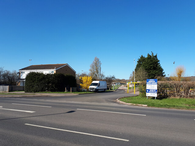
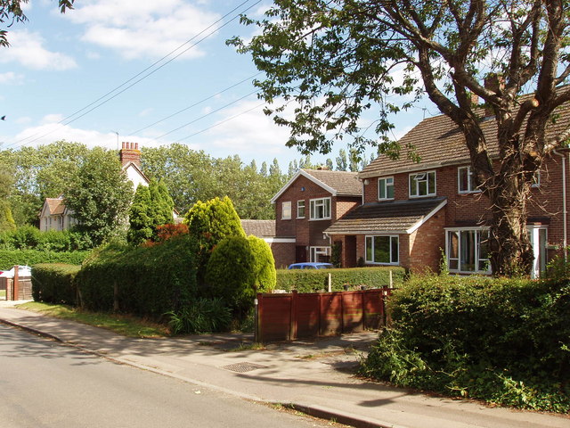
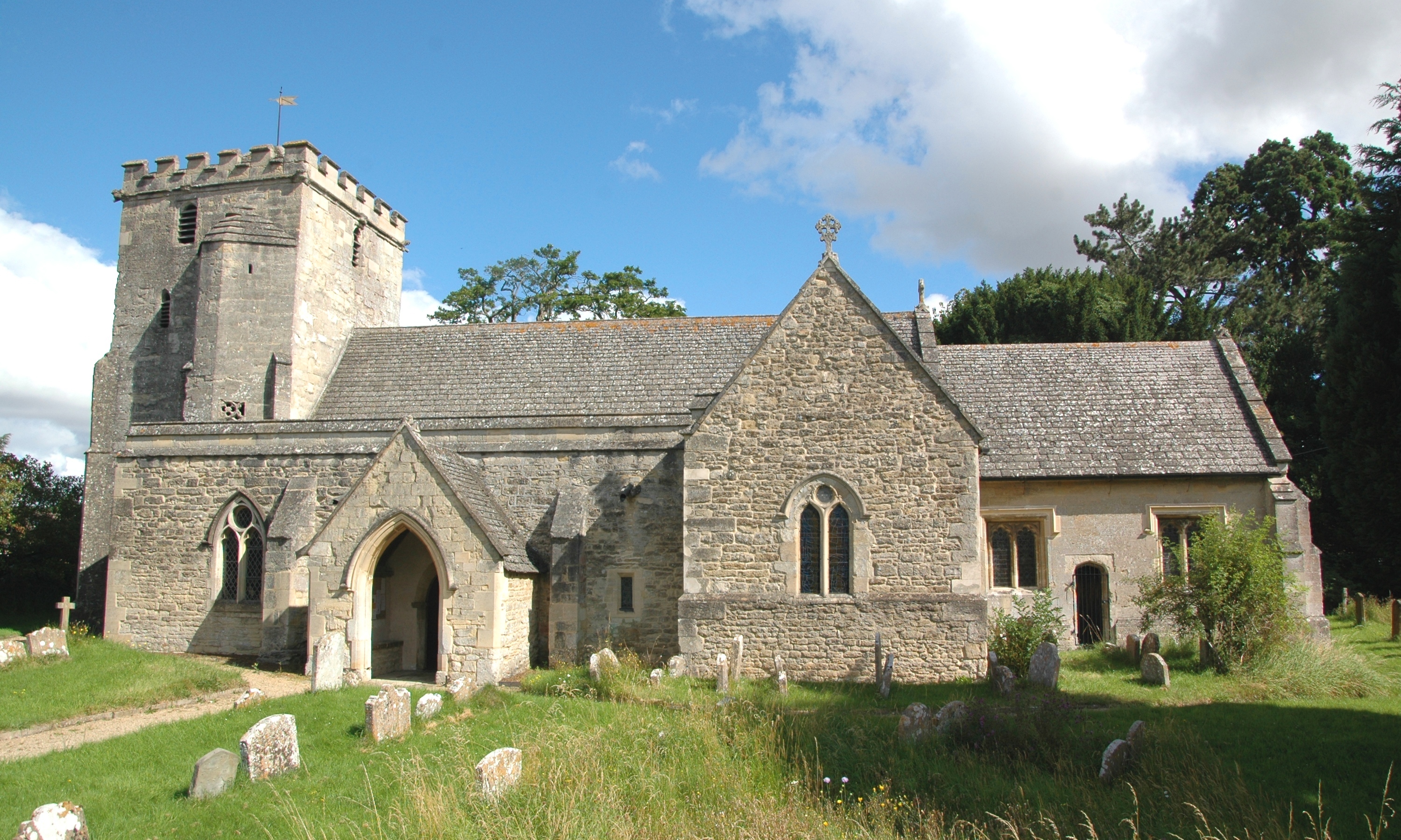
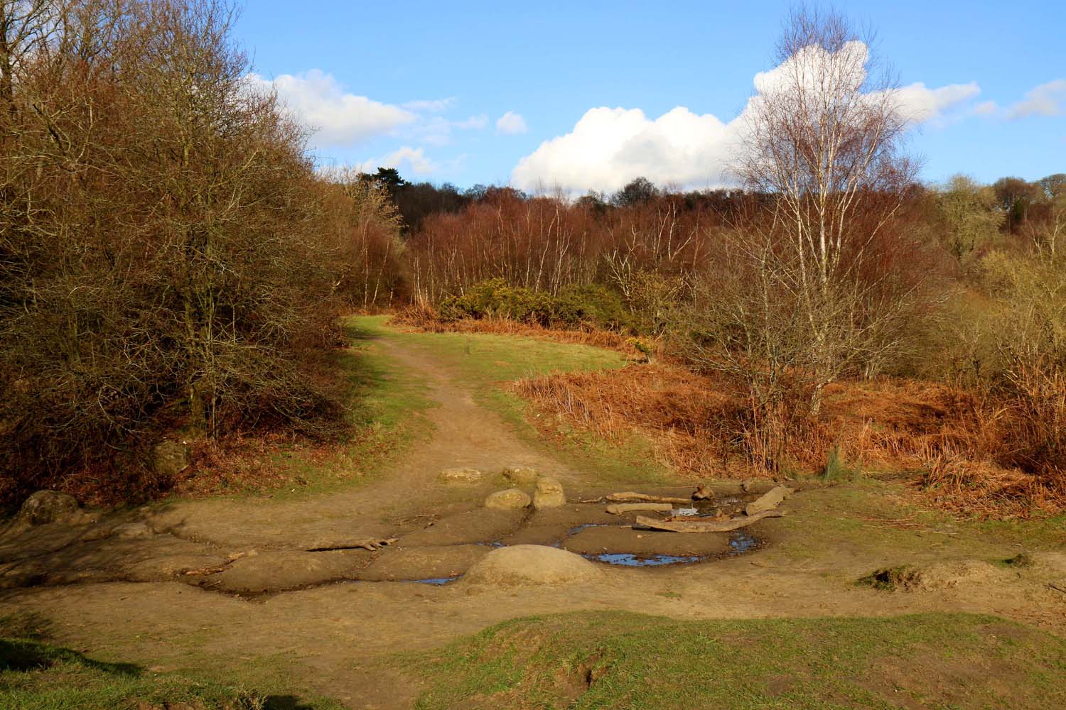
Blenheim Images

Images are sourced within 2km of 51.742165/-1.170066 or Grid Reference SP5705. Thanks to Geograph Open Source API. All images are credited.

Wheatley seen from the Howe Trust Allotments
Track approaching Wheatley windmill
Sandy Lane
Sandy Lane
Gidley Way, Horspath
Entrance to Horspath Sports Ground Home to Oxford Harlequins RFC, Oxford City Athletics Club, and Eire Og Gaelic Games Club.
Entrance to Horspath Sports Ground
Home to Oxford Harlequins RFC, Oxford City Athletics Club, and Eire Og Gaelic Games Club.
Stagecoach bus depot, Horspath Road
The Oxford Sports Park The Oxford Sports Park, also named the Bangkok Glass Training Ground is the training ground for Oxford United F.C.
The Oxford Sports Park
The Oxford Sports Park, also named the Bangkok Glass Training Ground is the training ground for Oxford United F.C.
Easter Monday Egg Roll Every Easter Sunday, the park rangers hold a 'Best Decorated Egg' competition, followed by the traditional egg roll. A great local event!
Easter Monday Egg Roll
Every Easter Sunday, the park rangers hold a 'Best Decorated Egg' competition, followed by the traditional egg roll. A great local event!
The Cricket Ground at Horspath This is a picture of the Cricket ground at Horspath, nestling below Shotover Park
The Cricket Ground at Horspath
This is a picture of the Cricket ground at Horspath, nestling below Shotover Park
Shotover Country Park, Oxford Shotover Hill, 3 miles (5km) to the east of Oxford, rises steeply to a height of 557 feet (171m) above sea level. Shotover was a Royal Forest from the time of the Domesday book until 1660, by which time the woodland was in such poor condition that it was disafforested or made no longer subject to forest laws.
Shotover Country Park, Oxford
Shotover Hill, 3 miles (5km) to the east of Oxford, rises steeply to a height of 557 feet (171m) above sea level. Shotover was a Royal Forest from the time of the Domesday book until 1660, by which time the woodland was in such poor condition that it was disafforested or made no longer subject to forest laws.
Coombe Wood Junction
Obelisk, garden of Shotover House The obelisk was designed by William Kent in the 1730s when he laid out the gardens west of Shotover House. The Oxford Inscriptions website  recorded the story that it marks the place where Elizabeth 1st took leave of Oxford in 1592 on her last visit.
Obelisk, garden of Shotover House
The obelisk was designed by William Kent in the 1730s when he laid out the gardens west of Shotover House. The Oxford Inscriptions website recorded the story that it marks the place where Elizabeth 1st took leave of Oxford in 1592 on her last visit.
Tree-lined avenue to Shotover House This avenue leads from the house to the old Oxford-London road which went over Shotover Hill
Tree-lined avenue to Shotover House
This avenue leads from the house to the old Oxford-London road which went over Shotover Hill
Horspath Reservoir This small reservoir is next to the old road over Shotover Hill.
Horspath Reservoir
This small reservoir is next to the old road over Shotover Hill.
Houses in Littleworth, near Wheatley These are on the Old Road over Shotover Hill to Oxford
Houses in Littleworth, near Wheatley
These are on the Old Road over Shotover Hill to Oxford
Bean field near Shotover House View from the bridleway along the avenue of trees leading to Shotover House.
Bean field near Shotover House
View from the bridleway along the avenue of trees leading to Shotover House.
Field and wood by Shotover House The wood is on the fringe of the gardens of Shotover House. The agricultural implement in the field is a roller.
Field and wood by Shotover House
The wood is on the fringe of the gardens of Shotover House. The agricultural implement in the field is a roller.
Outbuildings of Shotover House Shotover House is in the background
Outbuildings of Shotover House
Shotover House is in the background
Show me another place!

Blenheim is located at Grid Ref: SP5705 (Lat: 51.742165, Lng: -1.170066)

Administrative County: Oxfordshire

District: South Oxfordshire

Police Authority: Thames Valley

What 3 Words

///milk.wipe.media. Near Wheatley, Oxfordshire

Nearby Locations

Blenheim Horspath Common

Related Wikis

Horspath

Horspath is a village and civil parish in South Oxfordshire about 3+1⁄2 miles (5.6 km) east of the centre of Oxford, England. The 2011 census recorded...

Horspath Halt railway station

Horspath Halt was an intermediate station on the Wycombe Railway which served the Oxfordshire village of Horspath from 1908 to 1915, and then from 1933...

Headington Rural District

Headington was a rural district in Oxfordshire, England from 1894 to 1932, based on the Headington rural sanitary district. It covered an area to the east...

Shotover

Shotover is a hill and forest in Oxfordshire, England. The hill is 3 miles (4.8 km) east of Oxford. Its highest point is 557 feet (170 m) above sea level...

Nearby Amenities

Located within 500m of 51.742165,-1.170066
Turning Circle
Source: gps_survey;yahoo_imagery
Lat/Long: 51.7391481/-1.1722982
Post Box
Created By: Potlatch 0.9c
Ref: OX33 742
Lat/Long: 51.741815/-1.1716134
Old Phone: +44 1865 872901
Removed Amenity: telephone
Source: photograph
Lat/Long: 51.7386019/-1.1734877
Pub
The Chequers Inn
Created By: Potlatch 0.9c
Lat/Long: 51.7385882/-1.1732086
Turning Circle
Lat/Long: 51.7401482/-1.1714054
Post Box
Collection Times: Mo-Fr 16:30; Sa 07:15
Post Box Type: wall
Ref: OX33 228
Royal Cypher: GVIR
Royal Cypher Wikidata: Q33102169
Source: photograph
Lat/Long: 51.7390198/-1.1675376
Post Office
Horspath Stores
Addr Street: Church Road
Shop: convenience
Source: photograph
Lat/Long: 51.7388362/-1.1736517
Post Box
Post Box Type: pillar
Ref: OX33 210
Royal Cypher: GR
Royal Cypher Wikidata: Q33102273
Source: photograph
Lat/Long: 51.7387827/-1.1737109
Bicycle Parking
Capacity: 10
Source: photograph
Lat/Long: 51.7388657/-1.1737252
Barrier: kissing_gate
Foot: yes
Lat/Long: 51.7410787/-1.1766463
Barrier: stile
Lat/Long: 51.7426997/-1.1761914
Bus Stop
The Green
Bus: yes
Naptan AtcoCode: 340001676OPP
Naptan Bearing: SE
Naptan CommonName: The Green
Naptan Indicator: Opposite
Naptan Landmark: Opp Bus Shelter
Naptan NaptanCode: oxfawpja
Naptan Street: Cuddesdon Road
Public Transport: platform
Route Ref: 103;104
Shelter: no
Source: naptan_import;survey
Lat/Long: 51.7381555/-1.1724749
Bus Stop
The Green
Bench: yes
Bin: yes
Bus: yes
Check Date Shelter: 2021-05-25
Lit: no
Naptan AtcoCode: 340001676OUT
Naptan Bearing: NW
Naptan CommonName: The Green
Naptan Indicator: Outside
Naptan Landmark: Bus Shelter
Naptan NaptanCode: oxfgdadg
Naptan Street: Cuddesdon Road
Public Transport: platform
Route Ref: 103;104
Shelter: yes
Source: naptan_import;survey
Tactile Paving: no
Lat/Long: 51.7382937/-1.1732989
Barrier: stile
Stile: squeezer
Lat/Long: 51.7442004/-1.1712133
Bench
Backrest: no
Lat/Long: 51.7461589/-1.1720609
Barrier: kissing_gate
Lat/Long: 51.7437325/-1.1762484
Bus Stop
Gidley Way Bottom
Naptan AtcoCode: 340001677EAS
Naptan Bearing: NE
Naptan BusStopType: CUS
Naptan CommonName: Gidley Way Bottom
Naptan Indicator: Outside No 13
Naptan Landmark: No 13
Naptan NaptanCode: oxfgdada
Naptan Street: Gidley Way
Naptan Verified: no
Public Transport: platform
Source: naptan_import
Lat/Long: 51.7380254/-1.1697621
Bus Stop
Gidley Way Bottom
Bench: no
Bus: yes
Naptan AtcoCode: 340001677WES
Naptan Bearing: SW
Naptan CommonName: Gidley Way Bottom
Naptan Indicator: Opposite No 13
Naptan Landmark: No 13
Naptan NaptanCode: oxfawpgw
Naptan Street: Gidley Way
Naptan Verified: no
Public Transport: platform
Shelter: no
Source: naptan_import
Tactile Paving: no
Lat/Long: 51.7379891/-1.1697048
Bus Stop
Gidley Way Top
Bus: yes
Naptan AtcoCode: 340001683LWR
Naptan Bearing: NE
Naptan CommonName: Gidley Way Top
Naptan Indicator: Bus Shelter
Naptan Landmark: Bus Shelter
Naptan NaptanCode: oxfgawta
Naptan Street: Gidley Way
Public Transport: platform
Shelter: yes
Source: naptan_import
Lat/Long: 51.7403328/-1.164234
Bus Stop
Butts Road
Bus: yes
Name Note: guessed
Naptan AtcoCode: 340001367BUT
Naptan Bearing: NE
Naptan NaptanCode: oxfgtada
Note: not in Naptan so maybe no longer in use?
Public Transport: platform
Shelter: no
Lat/Long: 51.7391735/-1.1670611
Power: pole
Lat/Long: 51.7441613/-1.1645547
Material: wood
Power: pole
Lat/Long: 51.7457651/-1.1671592
Traffic Calming: cushion
Lat/Long: 51.7383913/-1.1688063
Traffic Calming: cushion
Lat/Long: 51.7378067/-1.1702171
Traffic Calming: cushion
Lat/Long: 51.7389358/-1.16751
Traffic Calming: cushion
Lat/Long: 51.7391822/-1.1669157
Traffic Calming: cushion
Lat/Long: 51.7395191/-1.1661052
Direction: 180
Generator Method: photovoltaic
Generator Output Electricity: yes
Generator Solar Modules: 16
Generator Source: solar
Generator Type: solar_photovoltaic_panel
Location: roof
Power: generator
Lat/Long: 51.7404714/-1.1654604
Direction: 140
Generator Method: photovoltaic
Generator Output Electricity: yes
Generator Solar Modules: 14
Generator Source: solar
Generator Type: solar_photovoltaic_panel
Location: roof
Power: generator
Lat/Long: 51.7393054/-1.1671495
Direction: 250
Generator Method: photovoltaic
Generator Output Electricity: yes
Generator Solar Modules: 18
Generator Source: solar
Generator Type: solar_photovoltaic_panel
Location: roof
Power: generator
Lat/Long: 51.7383723/-1.1682449
Direction: 240
Generator Method: photovoltaic
Generator Output Electricity: yes
Generator Solar Modules: 15
Generator Source: solar
Generator Type: solar_photovoltaic_panel
Location: roof
Power: generator
Lat/Long: 51.7382494/-1.1688007
Direction: 130
Generator Method: photovoltaic
Generator Output Electricity: yes
Generator Solar Modules: 12
Generator Source: solar
Generator Type: solar_photovoltaic_panel
Location: roof
Power: generator
Lat/Long: 51.7408747/-1.1742161
Direction: 225
Generator Method: photovoltaic
Generator Output Electricity: yes
Generator Solar Modules: 10
Generator Source: solar
Generator Type: solar_photovoltaic_panel
Location: roof
Power: generator
Lat/Long: 51.7393871/-1.1704443
Fixme: solar panels?
Lat/Long: 51.7396828/-1.1700607
Direction: 135
Generator Method: photovoltaic
Generator Output Electricity: yes
Generator Solar Modules: 16
Generator Source: solar
Generator Type: solar_photovoltaic_panel
Location: roof
Power: generator
Lat/Long: 51.7402069/-1.1704427
Direction: 130
Generator Method: photovoltaic
Generator Output Electricity: yes
Generator Solar Modules: 10
Generator Source: solar
Generator Type: solar_photovoltaic_panel
Location: roof
Power: generator
Lat/Long: 51.7402644/-1.1705878
Direction: 310
Generator Method: photovoltaic
Generator Output Electricity: yes
Generator Solar Modules: 6
Generator Source: solar
Generator Type: solar_photovoltaic_panel
Location: roof
Power: generator
Lat/Long: 51.7402877/-1.1706249
Direction: 230
Generator Method: photovoltaic
Generator Output Electricity: yes
Generator Solar Modules: 11
Generator Source: solar
Generator Type: solar_photovoltaic_panel
Location: roof
Power: generator
Lat/Long: 51.7405511/-1.1709147
Direction: 145
Generator Method: photovoltaic
Generator Output Electricity: yes
Generator Solar Modules: 16
Generator Source: solar
Generator Type: solar_photovoltaic_panel
Location: roof
Power: generator
Lat/Long: 51.7404237/-1.1690949
Direction: 145
Generator Method: photovoltaic
Generator Output Electricity: yes
Generator Solar Modules: 14
Generator Source: solar
Generator Type: solar_photovoltaic_panel
Location: roof
Power: generator
Lat/Long: 51.7405796/-1.1686987
Direction: 125
Generator Method: photovoltaic
Generator Output Electricity: yes
Generator Solar Modules: 10
Generator Source: solar
Generator Type: solar_photovoltaic_panel
Location: roof
Power: generator
Lat/Long: 51.7427978/-1.1713857
Direction: 175
Generator Method: photovoltaic
Generator Output Electricity: yes
Generator Solar Modules: 16
Generator Source: solar
Generator Type: solar_photovoltaic_panel
Location: roof
Power: generator
Lat/Long: 51.7429027/-1.1723169
Bus Stop
Butts Road
Naptan AtcoCode: 340001367OPP
Naptan Bearing: SW
Naptan CommonName: Butts Road
Naptan Indicator: opp
Naptan NaptanCode: oxfgtadg
Naptan Street: Gidley Way
Public Transport: platform
Lat/Long: 51.7391405/-1.1669111
The data included in this document is from www.openstreetmap.org. The data is made available under ODbL.

Have you been to Blenheim?

Leave your review of Blenheim below (or comments, questions and feedback).