Basore Point
Coastal Marsh, Saltings in Cornwall
England
Basore Point
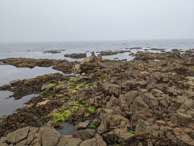
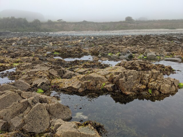
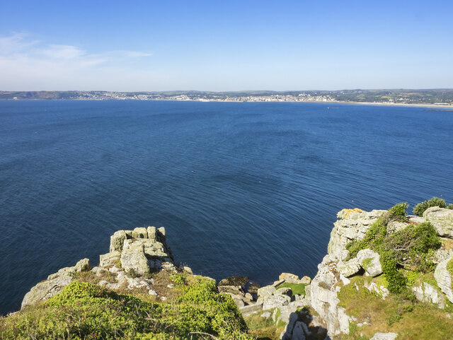
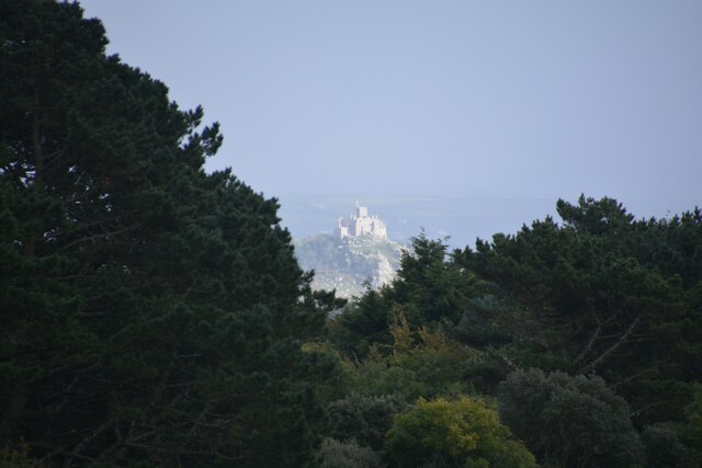
Basore Point is a stunning coastal marsh located in Cornwall, England. Situated within the larger area of the Saltings, this beautiful landscape is known for its unique and diverse ecosystem, making it a popular destination for nature enthusiasts and wildlife lovers.
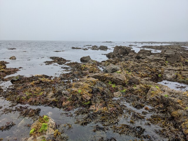
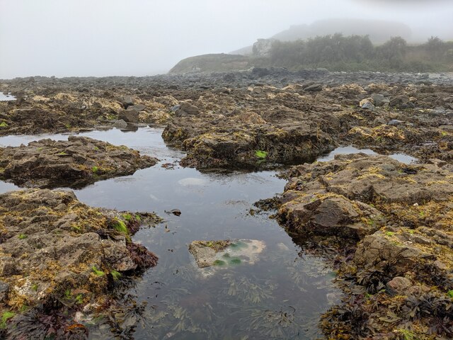
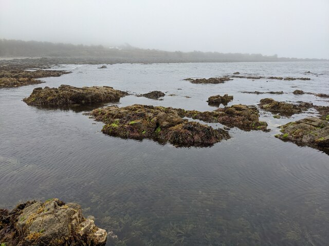
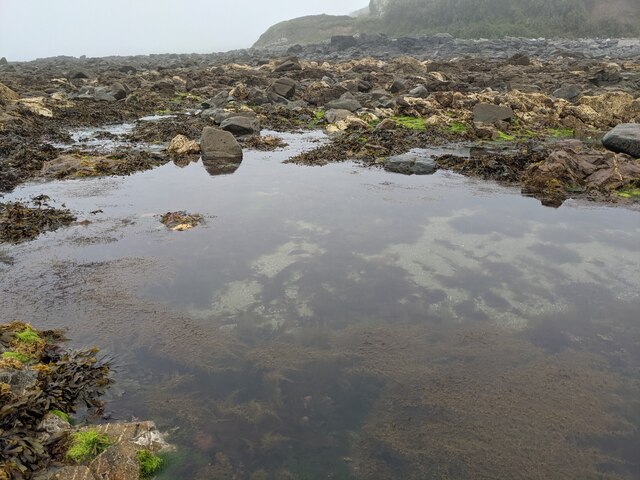
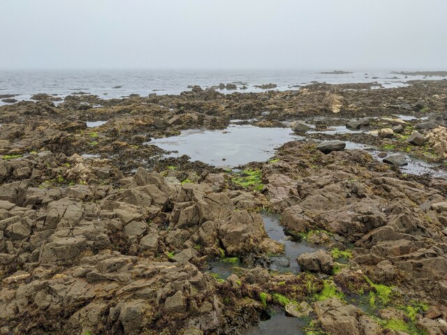
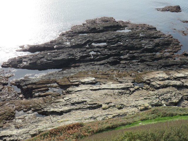
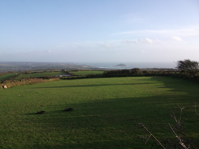
The marsh covers a considerable area, with its boundaries extending from the rocky cliffs to the sandy shoreline. The terrain is characterized by a mixture of salt marshes, mudflats, and sand dunes, creating a dynamic environment that supports a wide range of plant and animal species.
The vegetation found in Basore Point is varied and resilient, with salt-tolerant plants such as samphire, sea lavender, and cordgrass dominating the marshes. These plants not only provide habitat and food sources for numerous bird species but also help stabilize the soil and prevent erosion.
Birdwatchers flock to Basore Point to observe the impressive number of avian species that call this area home. Common sightings include wading birds like herons, egrets, and oystercatchers, as well as migratory birds such as curlews and sandpipers. The marshes also attract a variety of ducks and geese during the winter months.
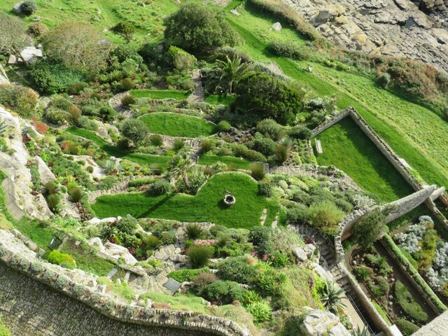
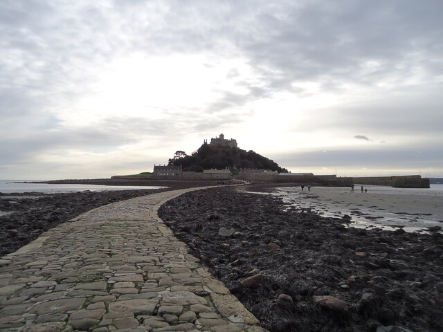
Basore Point offers breathtaking views of the surrounding coastline, with its dramatic cliffs and pristine sandy beaches. The area is a haven for beachcombing enthusiasts, who often find shells, sea glass, and other treasures washed up by the tides.
Overall, Basore Point is a coastal marsh of great ecological importance and natural beauty. Its diverse flora and fauna, coupled with its picturesque scenery, make it a must-visit destination for anyone seeking to immerse themselves in the wonders of nature.
If you have any feedback on the listing, please let us know in the comments section below.
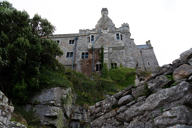
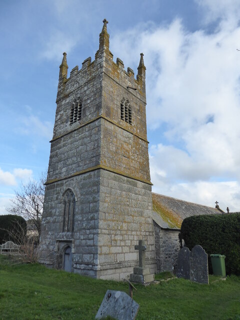
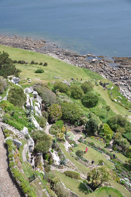
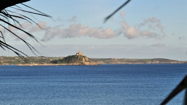
Basore Point Images
Images are sourced within 2km of 50.113486/-5.4536848 or Grid Reference SW5329. Thanks to Geograph Open Source API. All images are credited.
Basore Point is located at Grid Ref: SW5329 (Lat: 50.113486, Lng: -5.4536848)
Unitary Authority: Cornwall
Police Authority: Devon and Cornwall
What 3 Words
///valid.outdoor.arranges. Near Marazion, Cornwall
Nearby Locations
Related Wikis
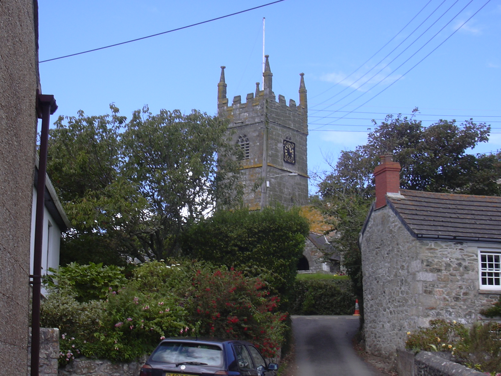
Perranuthnoe
Perranuthnoe () is a civil parish and a village in southwest Cornwall, England, United Kingdom. The parish population at the 2011 census was 2,184. The...

Mount Haven Hotel
Mount Haven Hotel is a hotel near the coast on the eastern side of the town of Marazion, Cornwall, England, UK, several miles east of Penzance. It is next...
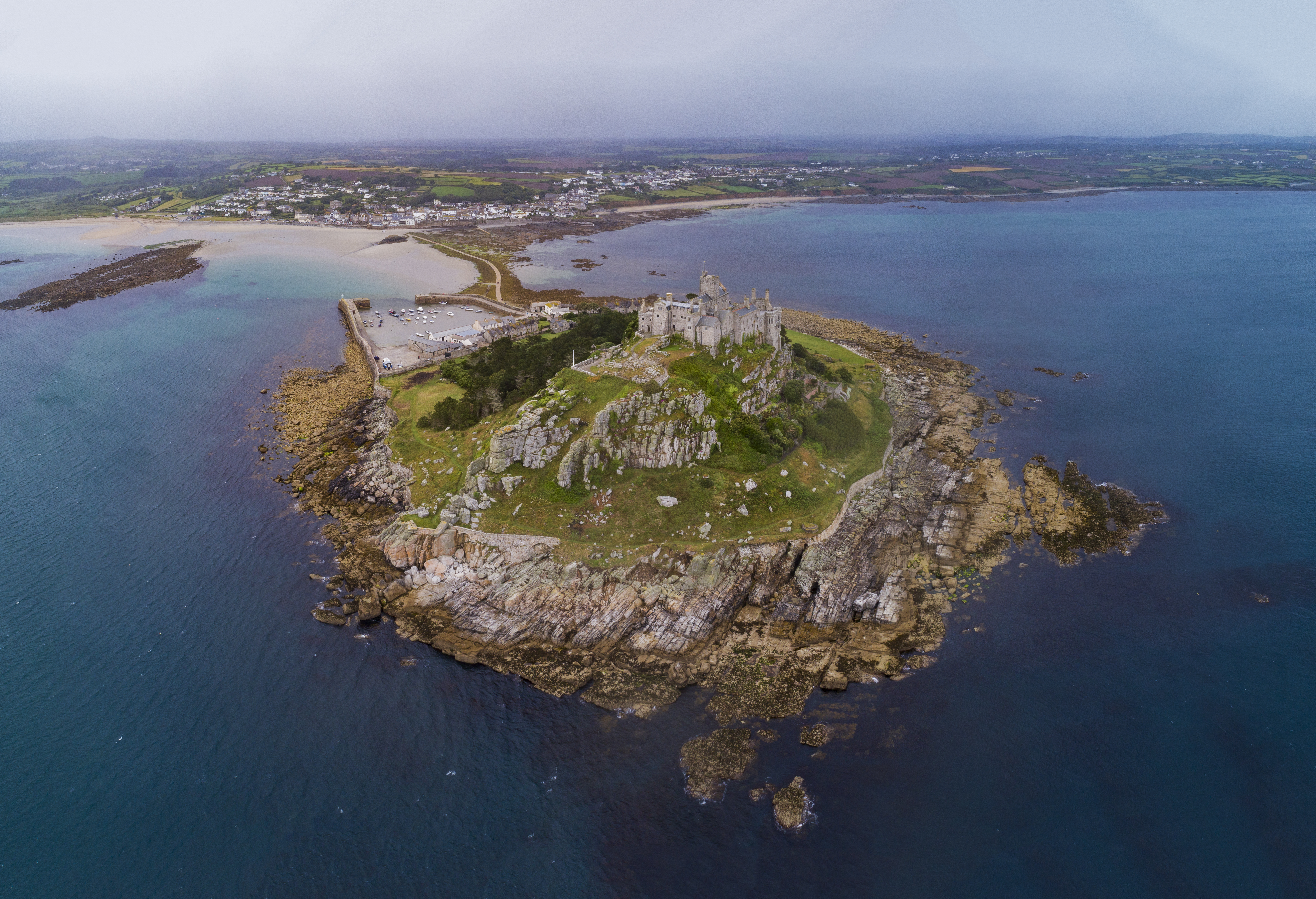
St Michael's Mount
St Michael's Mount (Cornish: Karrek Loos yn Koos, meaning "hoar rock in woodland") is a tidal island in Mount's Bay, Cornwall, England, United Kingdom...

Marazion Town Hall
Marazion Town Hall is a municipal building in the Market Place, Marazion, Cornwall, England. The town hall, which is currently used as a museum, is a Grade...
Nearby Amenities
Located within 500m of 50.113486,-5.4536848Have you been to Basore Point?
Leave your review of Basore Point below (or comments, questions and feedback).