The Frenchman
Island in Cornwall
England
The Frenchman
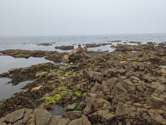
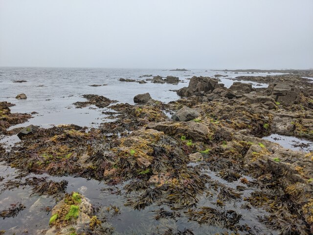
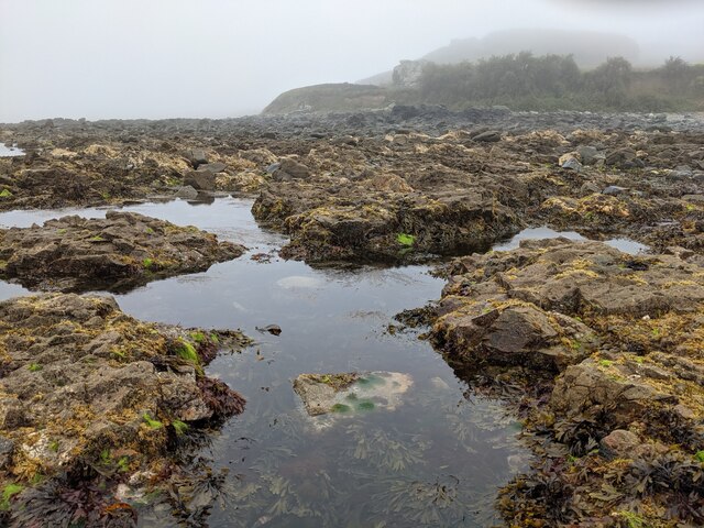
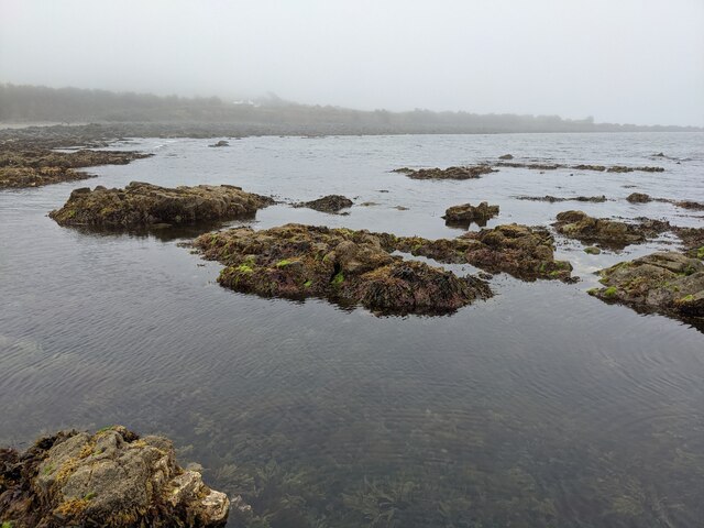
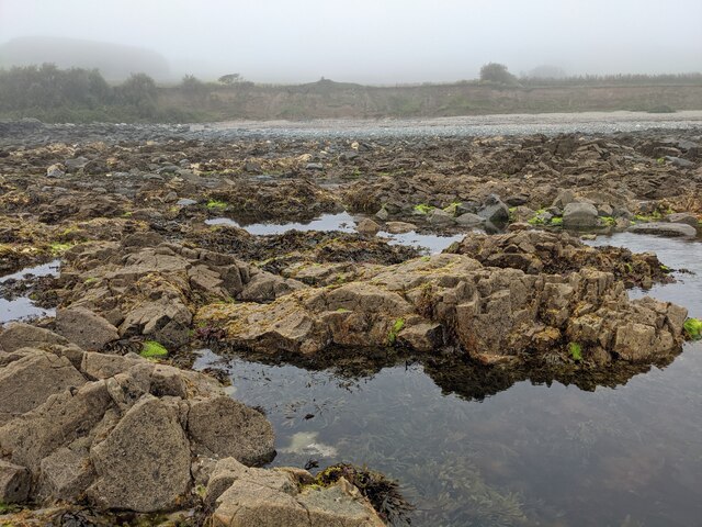
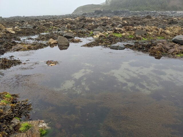
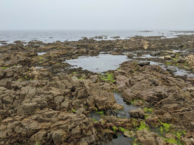
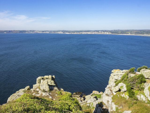
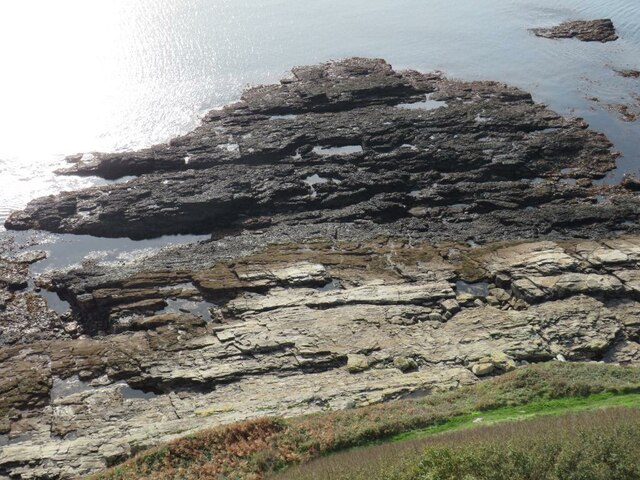
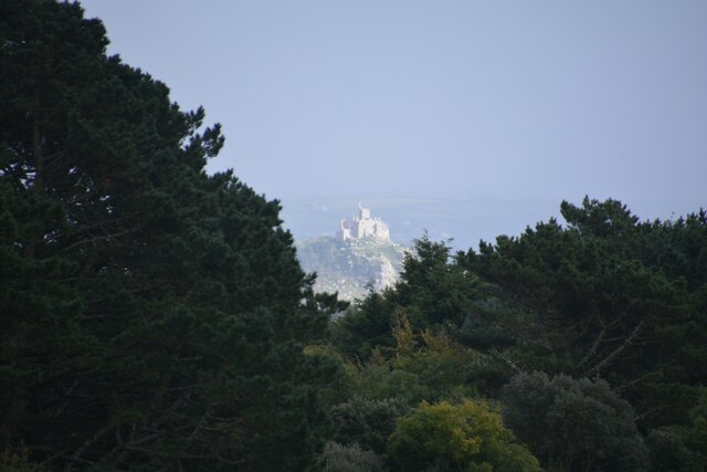
The Frenchman, Cornwall is a small island located off the coast of Cornwall, England. This uninhabited island, also known as L'Anglais Rock, is situated approximately 1.5 kilometers southwest of the Lizard Peninsula. The island is characterized by its rugged and rocky terrain, with steep cliffs rising from the surrounding waters.
With an area of just 0.2 hectares, The Frenchman is relatively small in size. Its name is derived from a local legend, which suggests that a French sailor was stranded on the island during the Napoleonic era. While the veracity of this tale is uncertain, it has contributed to the island's intriguing allure.
Due to its remote location and challenging access, The Frenchman is not open to the general public. The island is primarily composed of granite and is home to a variety of seabirds, including gulls and cormorants. Its surrounding waters are abundant in marine life, making it a popular spot for divers and snorkelers.
Although The Frenchman itself lacks any significant landmarks or structures, it offers breathtaking views of the surrounding coastline. Visitors can admire the dramatic cliffs and observe the diverse wildlife that inhabits the area. Boating enthusiasts often navigate around the island, taking in its natural beauty and enjoying the tranquility it offers.
In summary, The Frenchman, Cornwall is a small, uninhabited island off the coast of Cornwall, England. Its rocky terrain, rich wildlife, and intriguing legends make it an appealing destination for nature enthusiasts and those seeking a secluded coastal experience.
If you have any feedback on the listing, please let us know in the comments section below.
The Frenchman Images
Images are sourced within 2km of 50.11531/-5.4555651 or Grid Reference SW5329. Thanks to Geograph Open Source API. All images are credited.
The Frenchman is located at Grid Ref: SW5329 (Lat: 50.11531, Lng: -5.4555651)
Unitary Authority: Cornwall
Police Authority: Devon and Cornwall
What 3 Words
///snacking.lined.wriggled. Near Marazion, Cornwall
Nearby Locations
Related Wikis
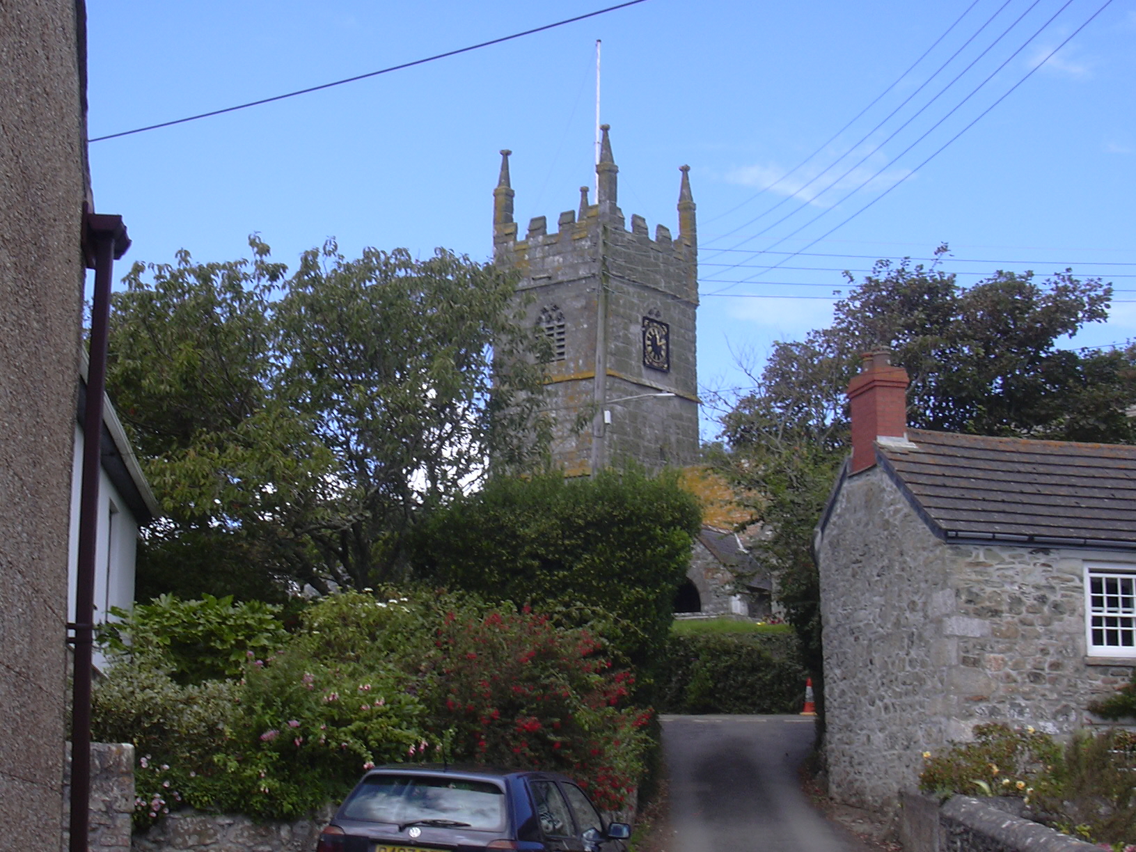
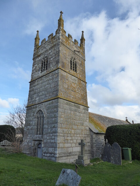
Perranuthnoe
Perranuthnoe () is a civil parish and a village in southwest Cornwall, England, United Kingdom. The parish population at the 2011 census was 2,184. The...

Mount Haven Hotel
Mount Haven Hotel is a hotel near the coast on the eastern side of the town of Marazion, Cornwall, England, UK, several miles east of Penzance. It is next...

Marazion Town Hall
Marazion Town Hall is a municipal building in the Market Place, Marazion, Cornwall, England. The town hall, which is currently used as a museum, is a Grade...
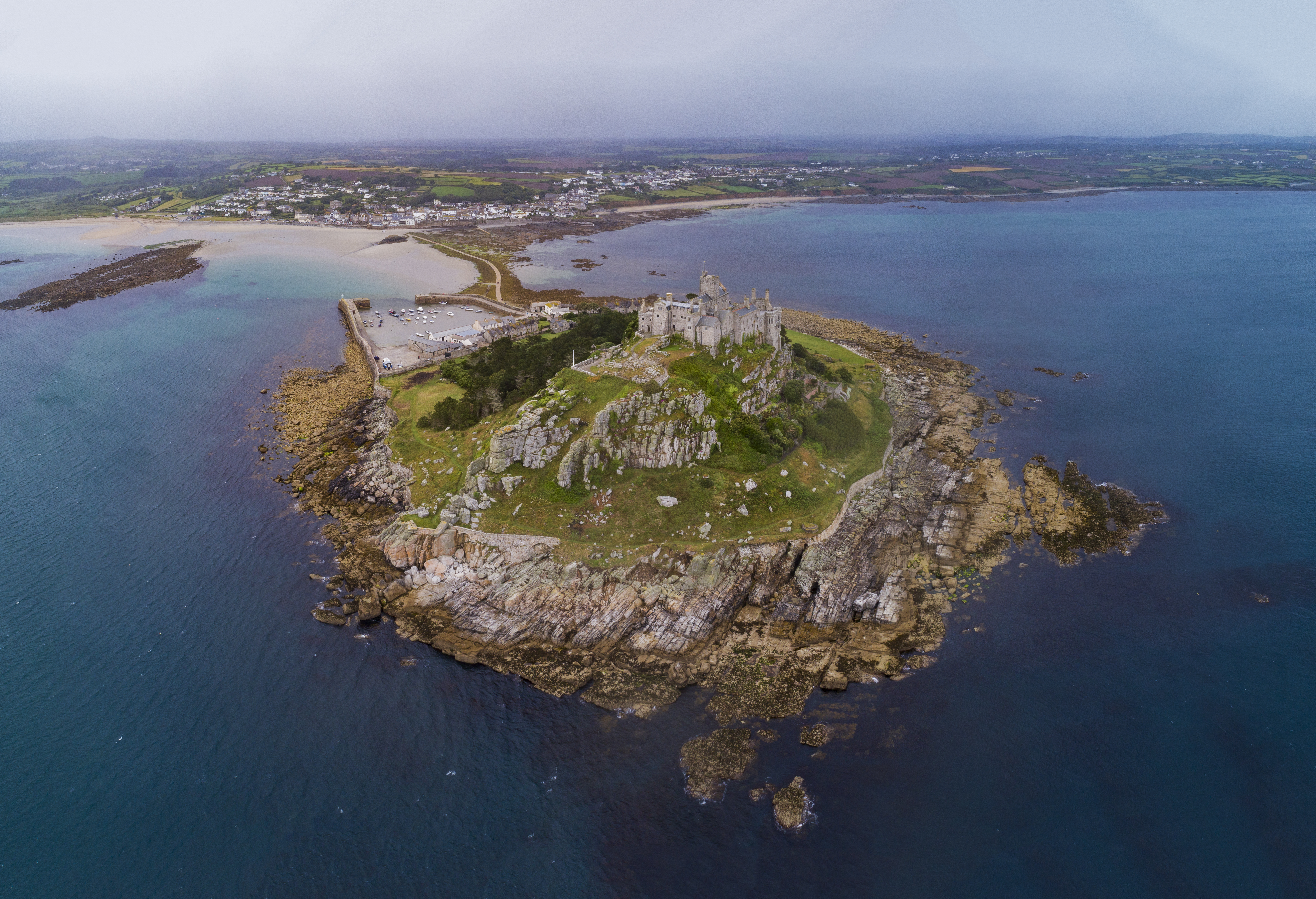
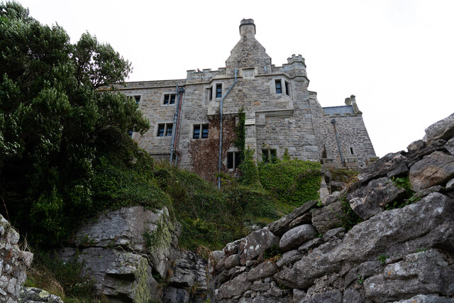
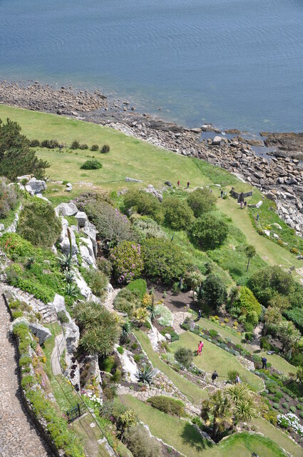
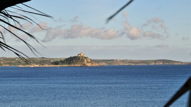
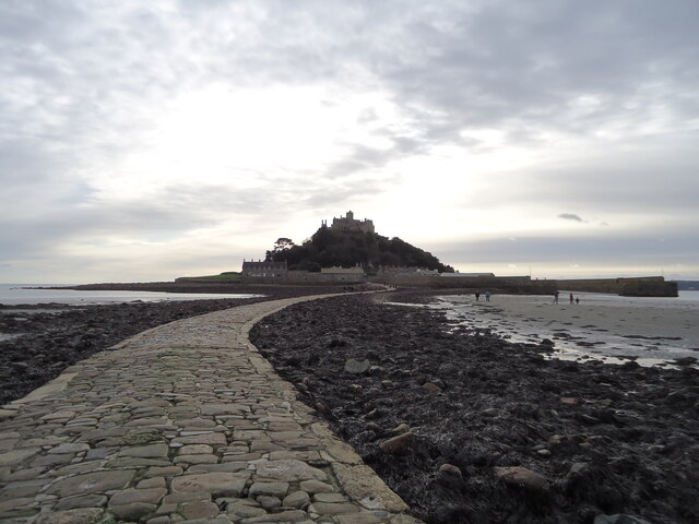
St Michael's Mount
St Michael's Mount (Cornish: Karrek Loos yn Koos, meaning "hoar rock in woodland") is a tidal island in Mount's Bay, Cornwall, England, United Kingdom...
Nearby Amenities
Located within 500m of 50.11531,-5.4555651Have you been to The Frenchman?
Leave your review of The Frenchman below (or comments, questions and feedback).