Bràighe Beag
Island in Ross-shire
Scotland
Bràighe Beag
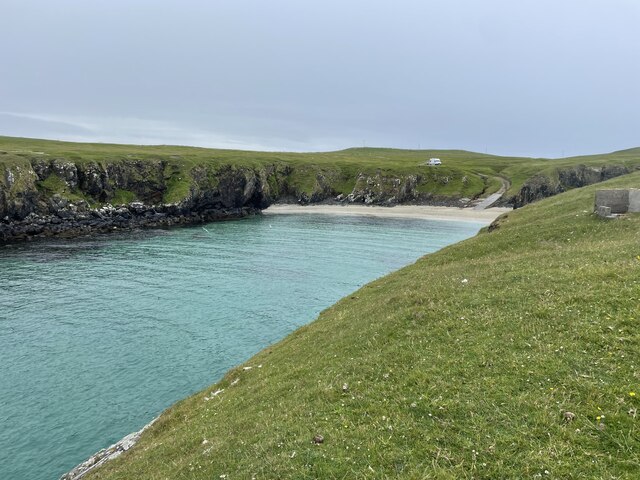
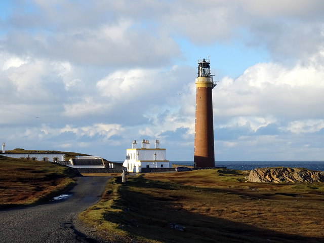
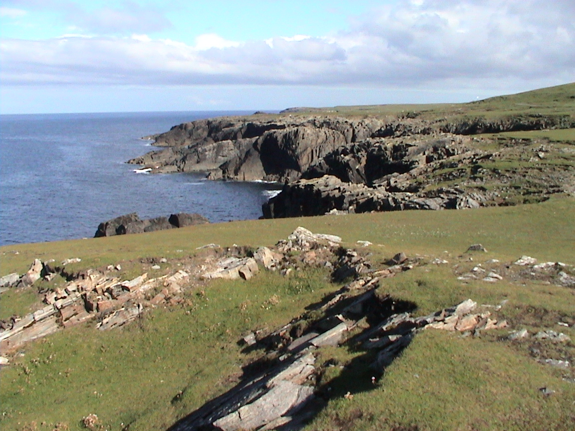
Bràighe Beag is a small island located off the coast of Ross-shire, in the northern part of Scotland. With a total area of approximately 100 acres, it is known for its picturesque landscapes and rich wildlife.
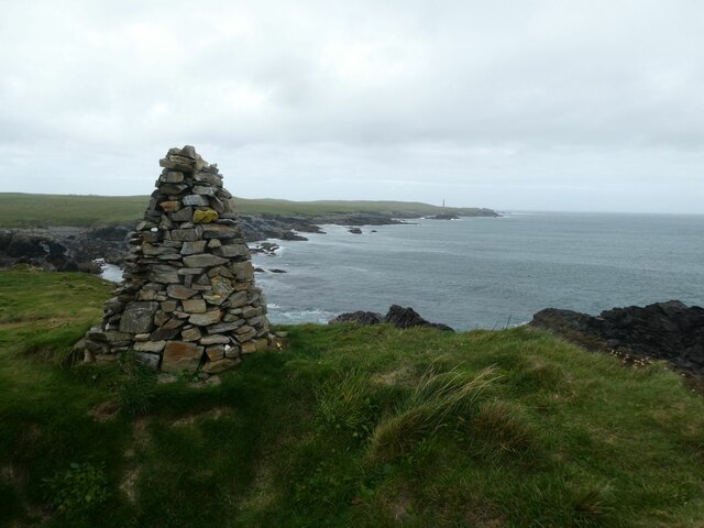
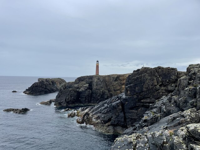
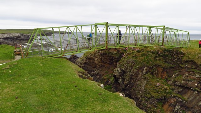
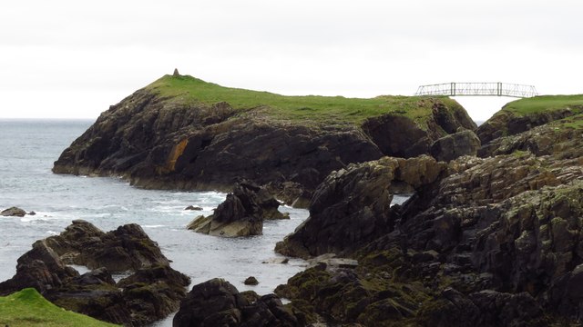
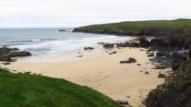
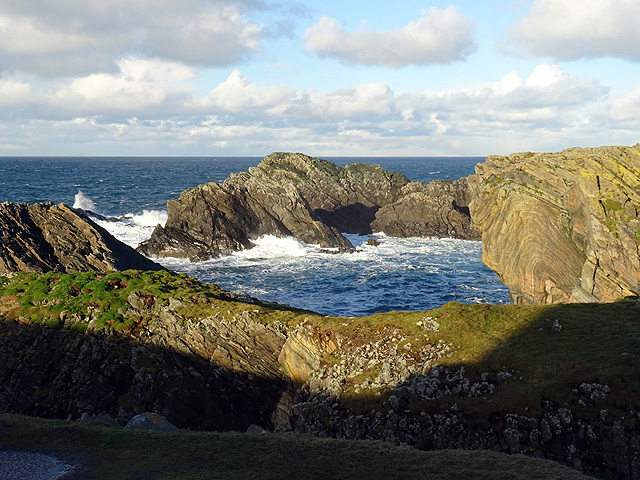
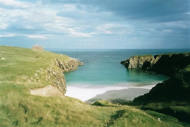
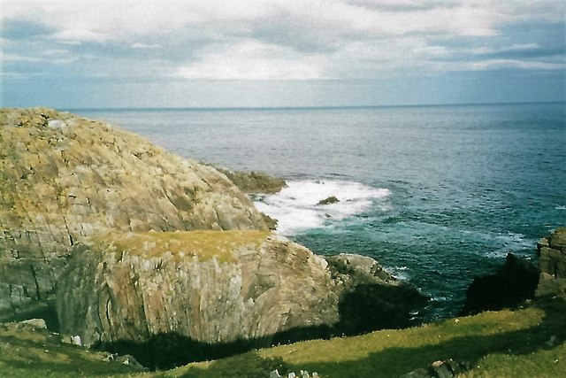
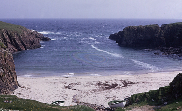
The island is characterized by its rugged coastline, with cliffs and rocky outcrops that provide nesting spots for a variety of seabirds. Visitors to Bràighe Beag can often spot species such as puffins, guillemots, and razorbills. The surrounding waters are also home to seals and dolphins, making it a popular destination for wildlife enthusiasts.
In terms of flora, Bràighe Beag boasts a diverse range of plant species. The island is covered in heather moorland, with patches of grassland and wildflowers scattered throughout. During the summer months, the landscape transforms into a vibrant display of colors, attracting both botanists and nature lovers.
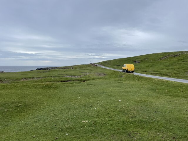
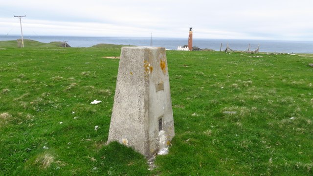
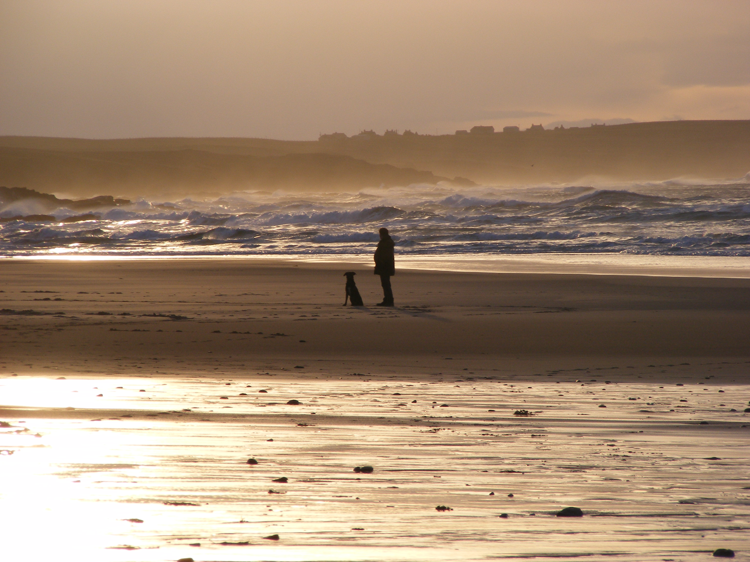
Bràighe Beag is uninhabited, with no permanent residents. However, it is accessible to visitors via boat trips from nearby towns. These trips offer an opportunity to explore the island's natural beauty and take in its stunning views. Hiking trails allow visitors to traverse the island and discover its hidden gems.
The island's remote location and untouched nature make it an idyllic retreat for those seeking solitude and tranquility. It is a place where one can immerse themselves in the raw beauty of Scotland's coastline and disconnect from the hustle and bustle of everyday life.
Overall, Bràighe Beag is a captivating island, offering a unique blend of stunning scenery, diverse wildlife, and a peaceful atmosphere. It is a true gem of Ross-shire and a must-visit for anyone exploring Scotland's natural wonders.
If you have any feedback on the listing, please let us know in the comments section below.
Bràighe Beag Images
Images are sourced within 2km of 58.509307/-6.2453296 or Grid Reference NB5265. Thanks to Geograph Open Source API. All images are credited.


Bràighe Beag is located at Grid Ref: NB5265 (Lat: 58.509307, Lng: -6.2453296)
Unitary Authority: Na h-Eileanan an Iar
Police Authority: Highlands and Islands
What 3 Words
///anchorman.glorified.saucepan. Near North Tolsta, Na h-Eileanan Siar
Nearby Locations
Related Wikis
Port Stoth
Port Stoth, known locally as Stoth and pronounced Stow, is a sheltered inlet just southeast of the Butt of Lewis in the Outer Hebrides, Scotland. It is...

Teampall Mholuaidh
St Moluag's church (Scottish Gaelic: Teampall Mholuaidh) is a church in the village of Eoropie in Ness in the Isle of Lewis in Scotland. It is one of the...

Dùn Èistean
Dùn Èistean is a multi-period archaeological site on an inter-tidal sea stack on the north east coast of the Isle of Lewis, near the village of Knockaird...

Fivepenny
Fivepenny (Scottish Gaelic: Na Còig Peighinnean) is one of the many villages in the Lewis district of Ness (Nis in Gaelic) and part of the Isle of Lewis...
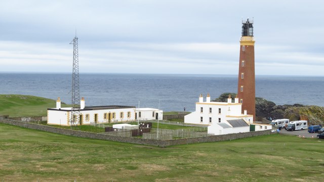
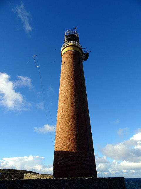
Butt of Lewis
The Butt of Lewis (Scottish Gaelic: Rubha Robhanais) is the most northerly point of Lewis in the Outer Hebrides. The headland, which lies in the North...

Knockaird
Knockaird (Scottish Gaelic: An Cnoc Àrd) is a village on the Isle of Lewis in the parish of Ness, in the Outer Hebrides, Scotland. It is the highest point...
Eoropie
Eoropie (Scottish Gaelic: Eòrapaidh) is the most northerly village on the Isle of Lewis in the parish of Ness, in the Outer Hebrides, Scotland. Eoropie...

Port of Ness
Port of Ness (Scottish Gaelic: Port Nis) is a village on the Isle of Lewis in the community of Ness, in the Outer Hebrides, Scotland. Port of Ness is within...
Nearby Amenities
Located within 500m of 58.509307,-6.2453296Have you been to Bràighe Beag?
Leave your review of Bràighe Beag below (or comments, questions and feedback).