Maen-du Point
Coastal Feature, Headland, Point in Cornwall
England
Maen-du Point
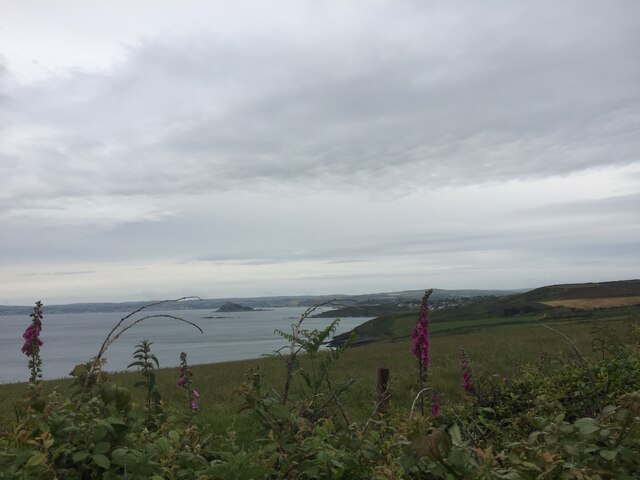
Maen-du Point is a prominent coastal feature located in Cornwall, England. Situated on the southwestern tip of the country, it is a headland that juts out into the Atlantic Ocean, offering breathtaking views and a unique geological formation.
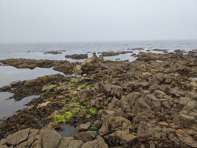
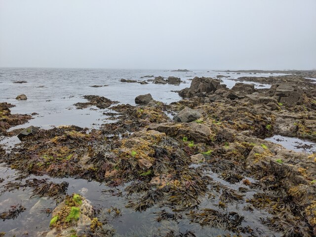
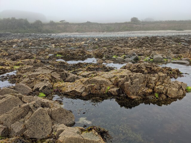
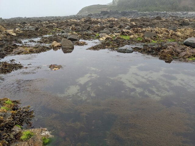
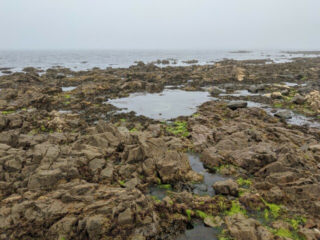
The name "Maen-du" translates to "black stone" in Welsh, which accurately describes the dark, rugged cliffs that characterize the area. These cliffs are composed of slate and shale, displaying layers of sedimentary rock formed millions of years ago.
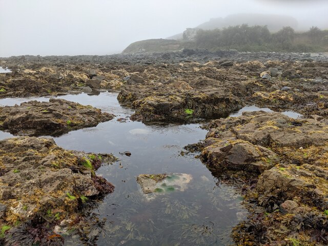
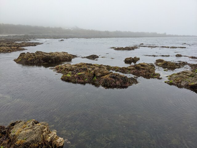
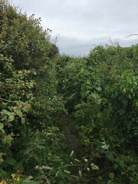
The headland itself stretches for about 500 meters and is known for its dramatic vertical drops and steep inclines. It is a popular destination for hikers and nature enthusiasts who are drawn to its stunning coastal scenery and diverse wildlife.
Maen-du Point is home to a variety of seabirds, including gulls, cormorants, and fulmars, which nest along the cliffs and can be observed soaring overhead. The surrounding waters are also rich in marine life, making it a great spot for birdwatching and marine exploration.
Visitors to Maen-du Point can enjoy coastal walks along the cliff-top paths, taking in panoramic views of the ocean and nearby beaches. The headland offers a vantage point for observing the powerful waves crashing against the rocks below, especially during stormy weather.
Overall, Maen-du Point is an outstanding natural landmark that showcases the rugged beauty of the Cornish coastline. Its geological features, wildlife diversity, and stunning vistas make it a must-visit destination for those seeking an authentic coastal experience in Cornwall.
If you have any feedback on the listing, please let us know in the comments section below.
Maen-du Point Images
Images are sourced within 2km of 50.110712/-5.4483648 or Grid Reference SW5329. Thanks to Geograph Open Source API. All images are credited.


Maen-du Point is located at Grid Ref: SW5329 (Lat: 50.110712, Lng: -5.4483648)
Unitary Authority: Cornwall
Police Authority: Devon and Cornwall
What 3 Words
///stream.breathed.quoted. Near Marazion, Cornwall
Nearby Locations
Related Wikis
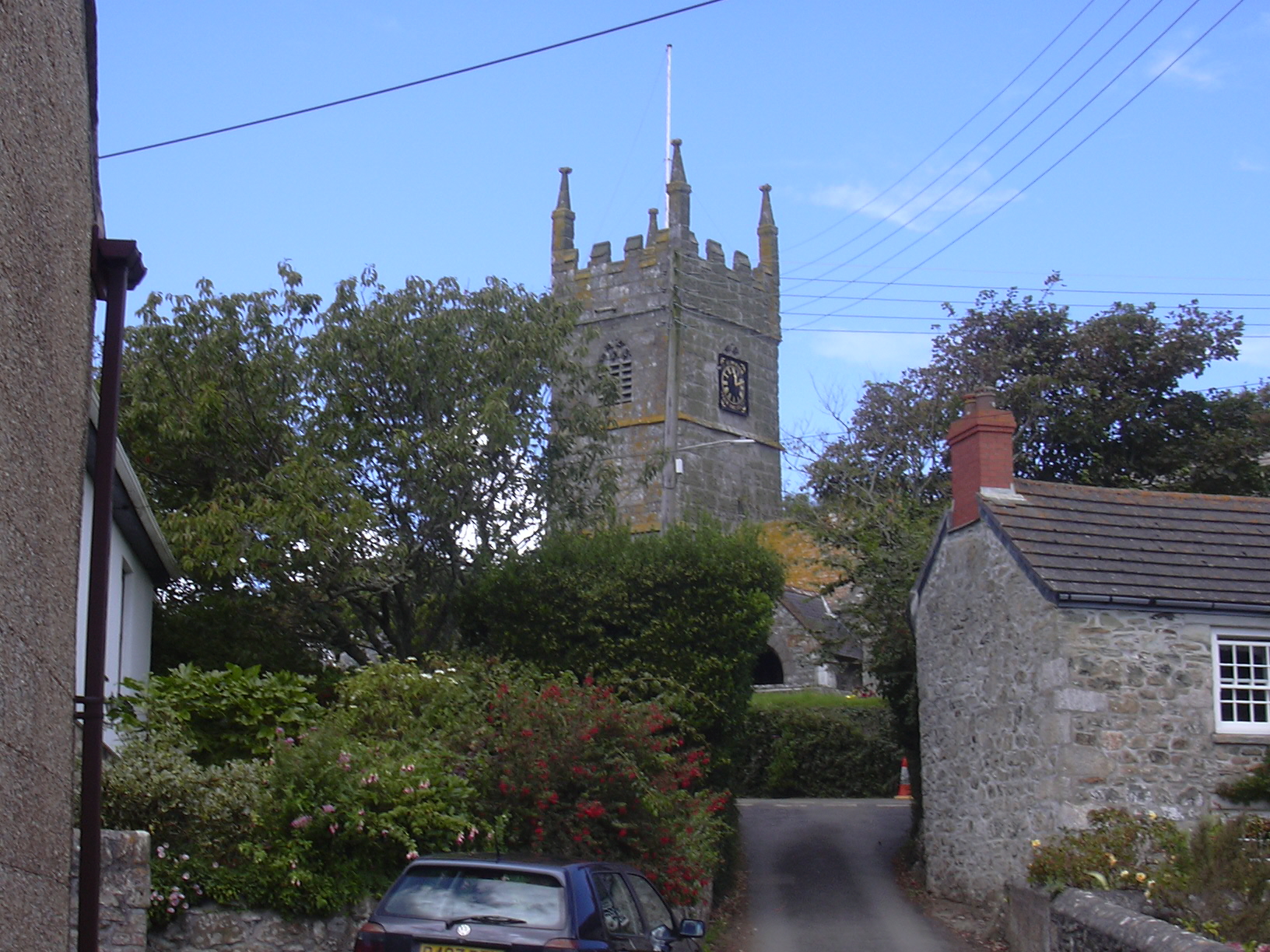
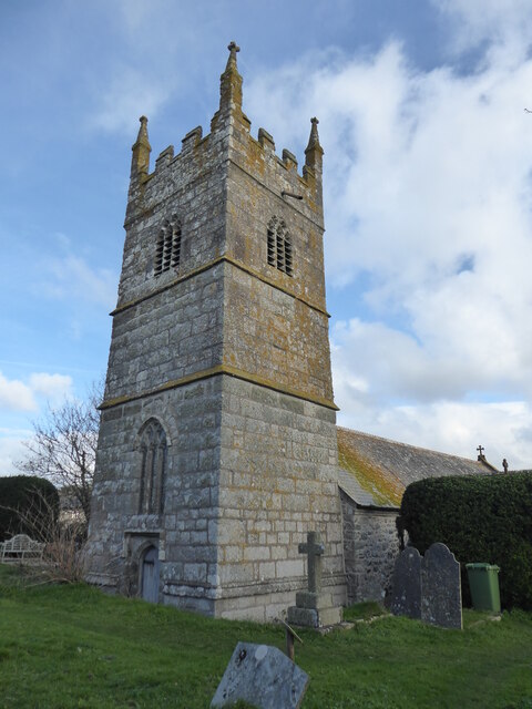
Perranuthnoe
Perranuthnoe () is a civil parish and a village in southwest Cornwall, England, United Kingdom. The parish population at the 2011 census was 2,184. The...

Mount Haven Hotel
Mount Haven Hotel is a hotel near the coast on the eastern side of the town of Marazion, Cornwall, England, UK, several miles east of Penzance. It is next...

Acton Castle
Acton Castle is a small castellated mansion near Perranuthnoe, Cornwall. It is a Grade II* listed building. It was built c. 1775, and according to some...
Goldsithney
Goldsithney (Cornish: Golsydhni, meaning fair of St Sithney) is a village in west Cornwall, England, United Kingdom. It is on the B3280 at grid reference...
Nearby Amenities
Located within 500m of 50.110712,-5.4483648Have you been to Maen-du Point?
Leave your review of Maen-du Point below (or comments, questions and feedback).