Blight Harvey's Cove
Sea, Estuary, Creek in Cornwall
England
Blight Harvey's Cove
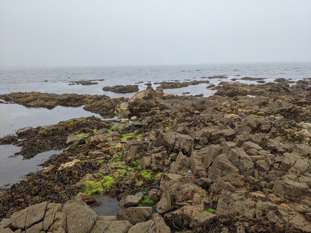
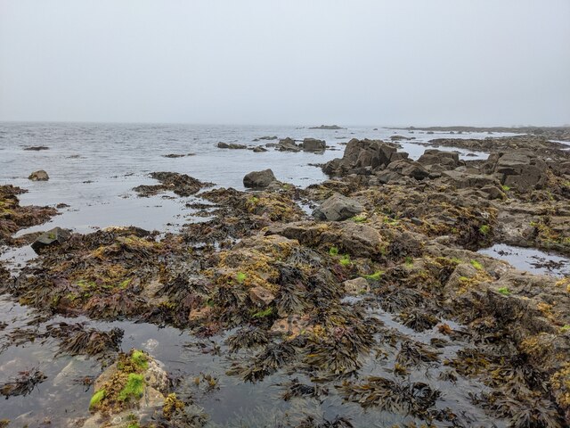
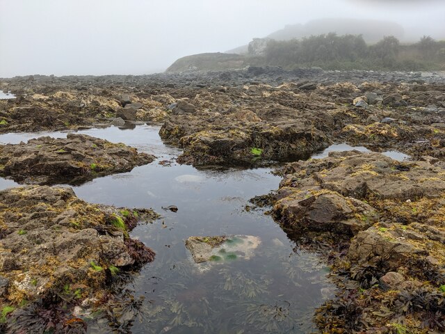
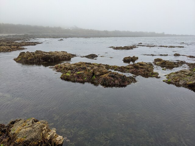
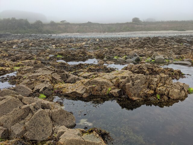
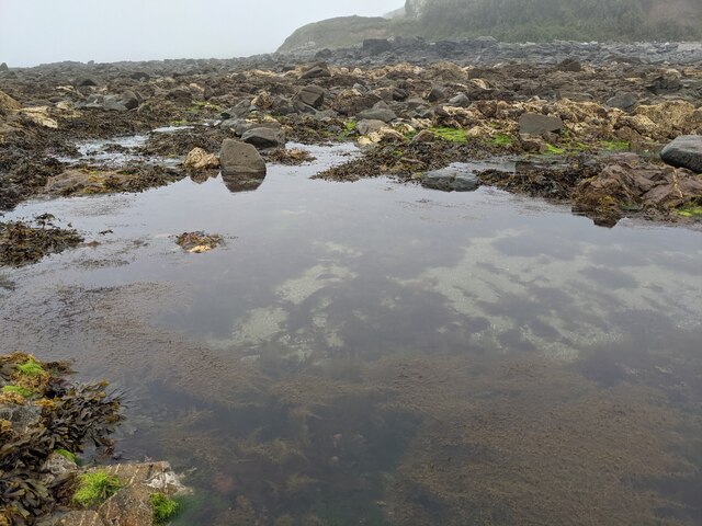
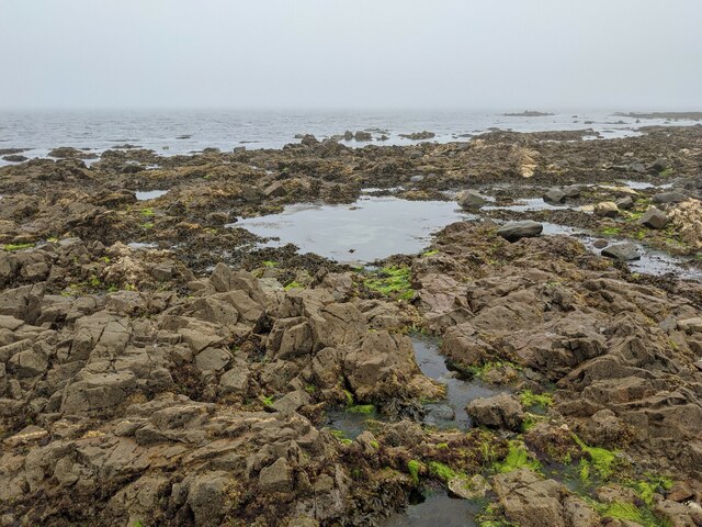
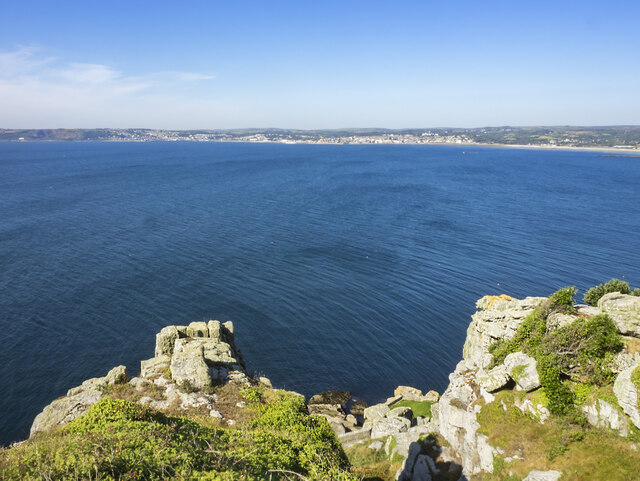
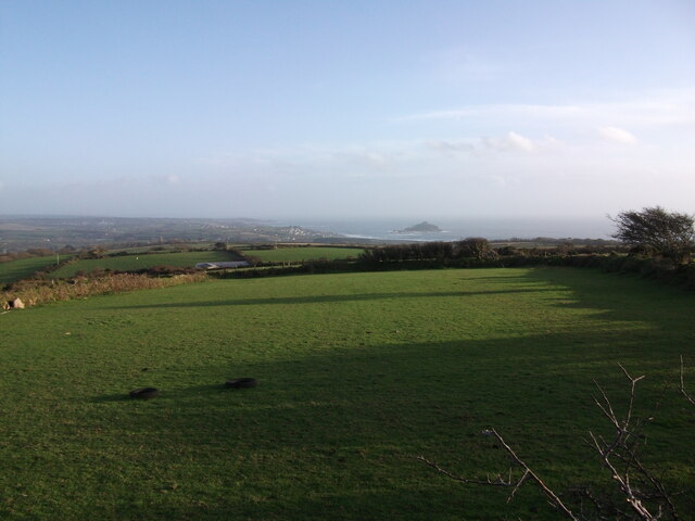
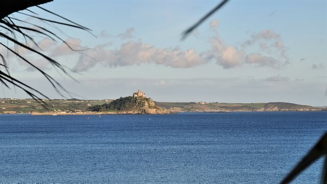
Blight Harvey's Cove is a picturesque coastal area located in Cornwall, a county in southwestern England. This enchanting cove is renowned for its stunning natural beauty and diverse marine ecosystem. Situated along the southern coast of Cornwall, Blight Harvey's Cove is characterized by its breathtaking views of the sea, estuary, and creek.
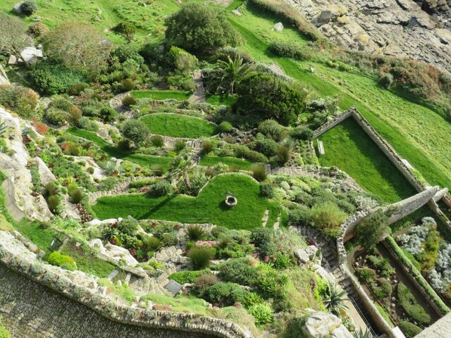
The cove is nestled between towering cliffs, providing a sense of tranquility and seclusion. Its sandy beach stretches across the coastline, inviting visitors to relax and enjoy the soothing sounds of the crashing waves. The crystal-clear waters of the sea are perfect for swimming, snorkeling, and other water activities.
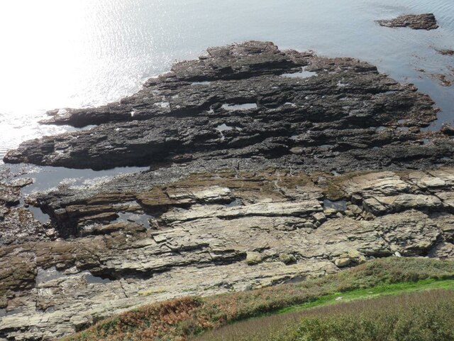
Blight Harvey's Cove also boasts a thriving estuary, where freshwater from nearby rivers meets the saltwater of the sea. This unique ecosystem supports a wide variety of marine life, making it a popular spot for fishing and birdwatching. The estuary is home to numerous species of fish, crustaceans, and shellfish, providing a rich feeding ground for seabirds and wading birds.
The cove is also intersected by a picturesque creek, which meanders through the landscape, adding to its charm. This creek is a haven for wildlife, attracting otters, herons, and other species of birds and mammals. It is a perfect spot for nature enthusiasts to explore and observe the local flora and fauna.
Overall, Blight Harvey's Cove offers visitors a serene and idyllic coastal experience. Its combination of sea, estuary, and creek creates a unique and dynamic environment that is sure to captivate nature lovers and tourists alike.
If you have any feedback on the listing, please let us know in the comments section below.
Blight Harvey's Cove Images
Images are sourced within 2km of 50.112897/-5.4523273 or Grid Reference SW5329. Thanks to Geograph Open Source API. All images are credited.
Blight Harvey's Cove is located at Grid Ref: SW5329 (Lat: 50.112897, Lng: -5.4523273)
Unitary Authority: Cornwall
Police Authority: Devon and Cornwall
Also known as: Trevelyan Cove
What 3 Words
///feel.flinches.dine. Near Marazion, Cornwall
Nearby Locations
Related Wikis
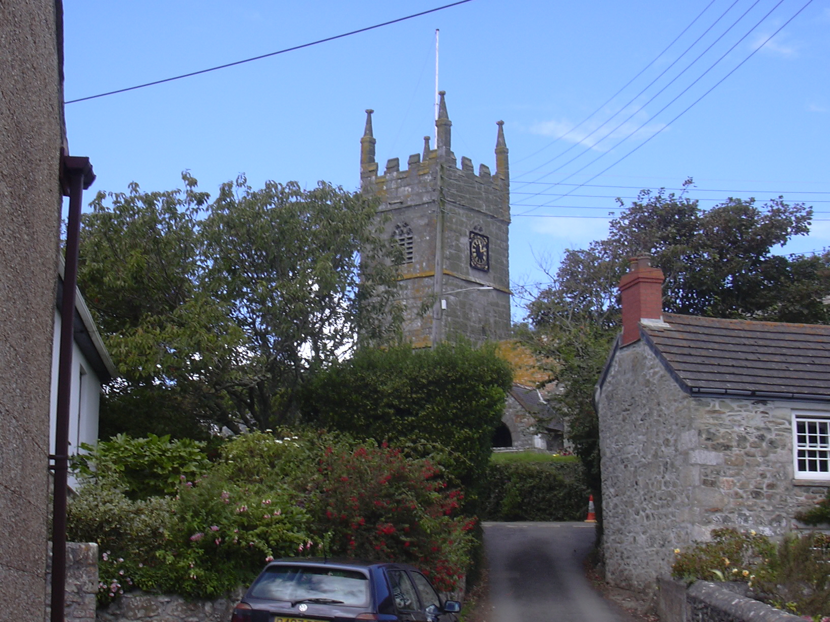
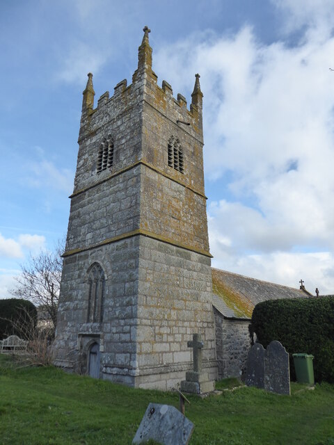
Perranuthnoe
Perranuthnoe () is a civil parish and a village in southwest Cornwall, England, United Kingdom. The parish population at the 2011 census was 2,184. The...

Mount Haven Hotel
Mount Haven Hotel is a hotel near the coast on the eastern side of the town of Marazion, Cornwall, England, UK, several miles east of Penzance. It is next...
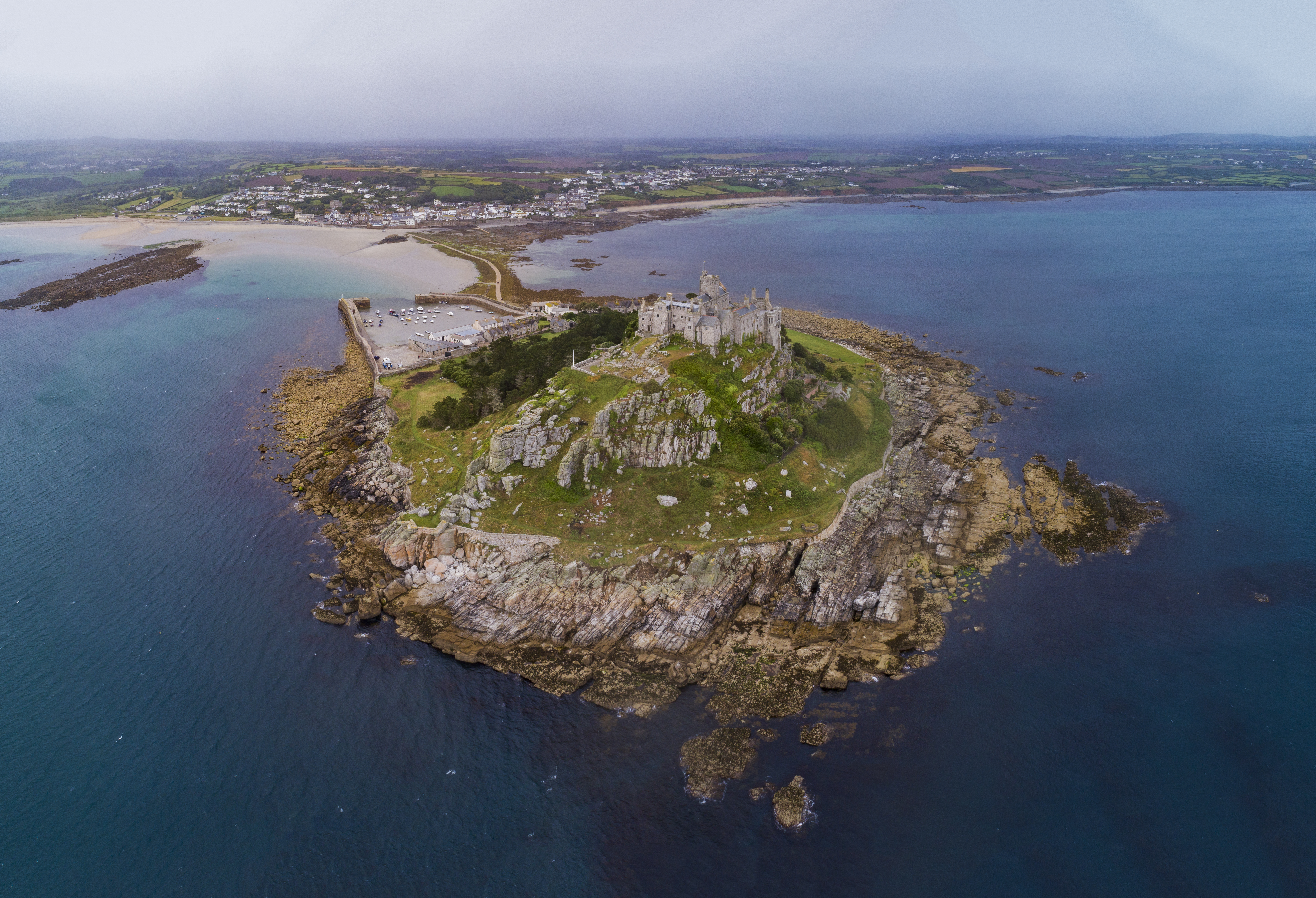
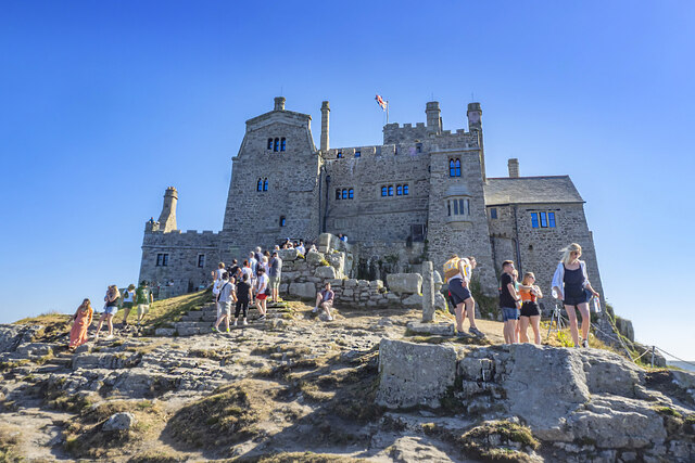
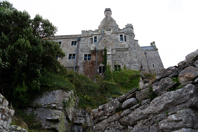
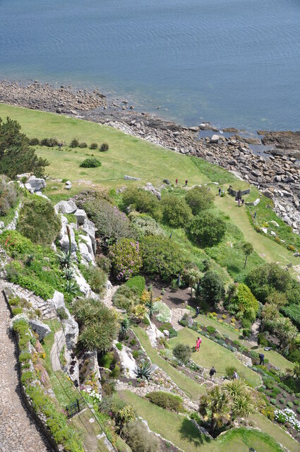
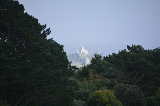
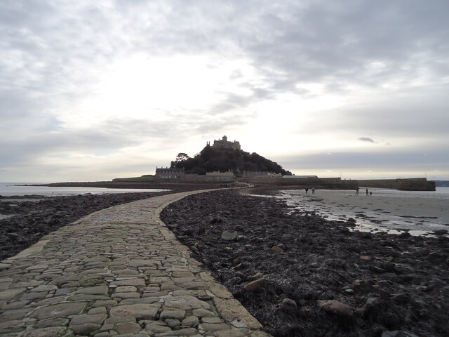
St Michael's Mount
St Michael's Mount (Cornish: Karrek Loos yn Koos, meaning "hoar rock in woodland") is a tidal island in Mount's Bay, Cornwall, England, United Kingdom...
Goldsithney
Goldsithney (Cornish: Golsydhni, meaning fair of St Sithney) is a village in west Cornwall, England, United Kingdom. It is on the B3280 at grid reference...
Nearby Amenities
Located within 500m of 50.112897,-5.4523273Have you been to Blight Harvey's Cove?
Leave your review of Blight Harvey's Cove below (or comments, questions and feedback).