Temis Cove
Sea, Estuary, Creek in Cornwall
England
Temis Cove

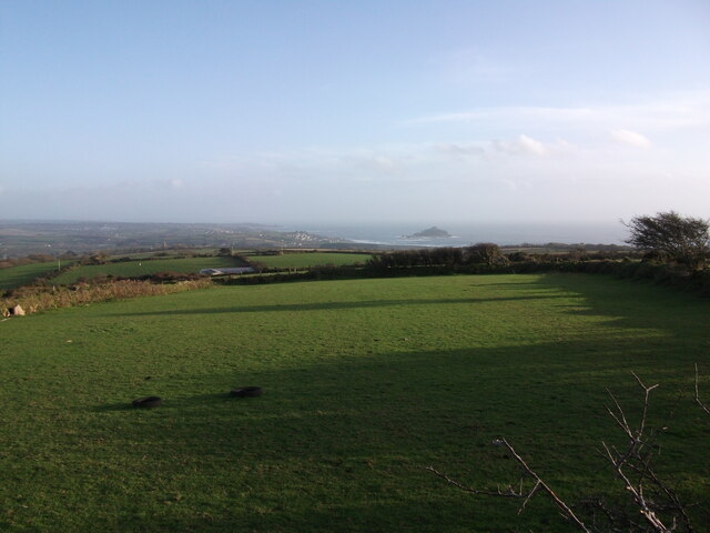
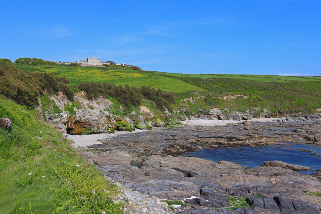
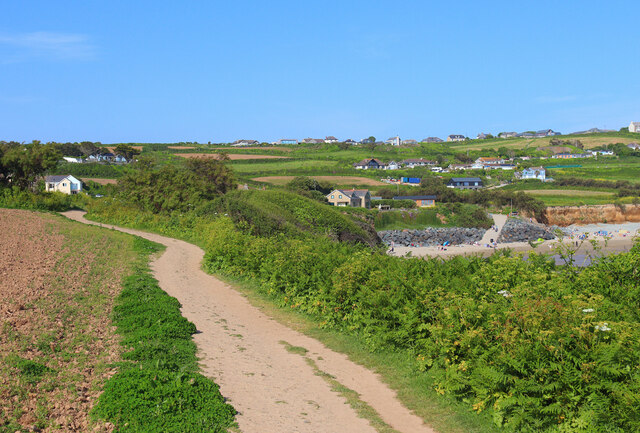
Temis Cove is a picturesque location situated in Cornwall, England. It is known for its stunning sea, estuary, and creek, making it a popular destination for nature enthusiasts and outdoor lovers. The cove is nestled along the rugged coastline and offers breathtaking views of the Atlantic Ocean.
The sea at Temis Cove is characterized by its turquoise blue waters and pristine sandy beaches. Visitors can enjoy various water activities such as swimming, snorkeling, and surfing. The sea is teeming with marine life, providing opportunities for fishing and wildlife observation.
Adjacent to the sea is the estuary, a unique ecosystem where freshwater from rivers meets the saltwater of the ocean. The estuary at Temis Cove is home to a diverse range of flora and fauna, including rare bird species, shellfish, and plants. Exploring the estuary by boat or kayak is a popular pastime, allowing visitors to witness the beauty of this delicate ecosystem up close.
The creek at Temis Cove meanders through the surrounding countryside, offering a tranquil and serene environment. Lush vegetation lines the banks of the creek, providing a habitat for various wildlife species. Visitors can take leisurely walks along the creek, enjoying the peaceful ambiance and taking in the natural beauty of the area.
Overall, Temis Cove in Cornwall is a haven for those seeking a blend of coastal and inland natural wonders. With its stunning sea, estuary, and creek, it offers a unique and enriching experience for nature enthusiasts and anyone looking to escape the hustle and bustle of everyday life.
If you have any feedback on the listing, please let us know in the comments section below.
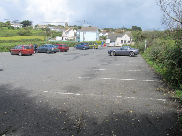
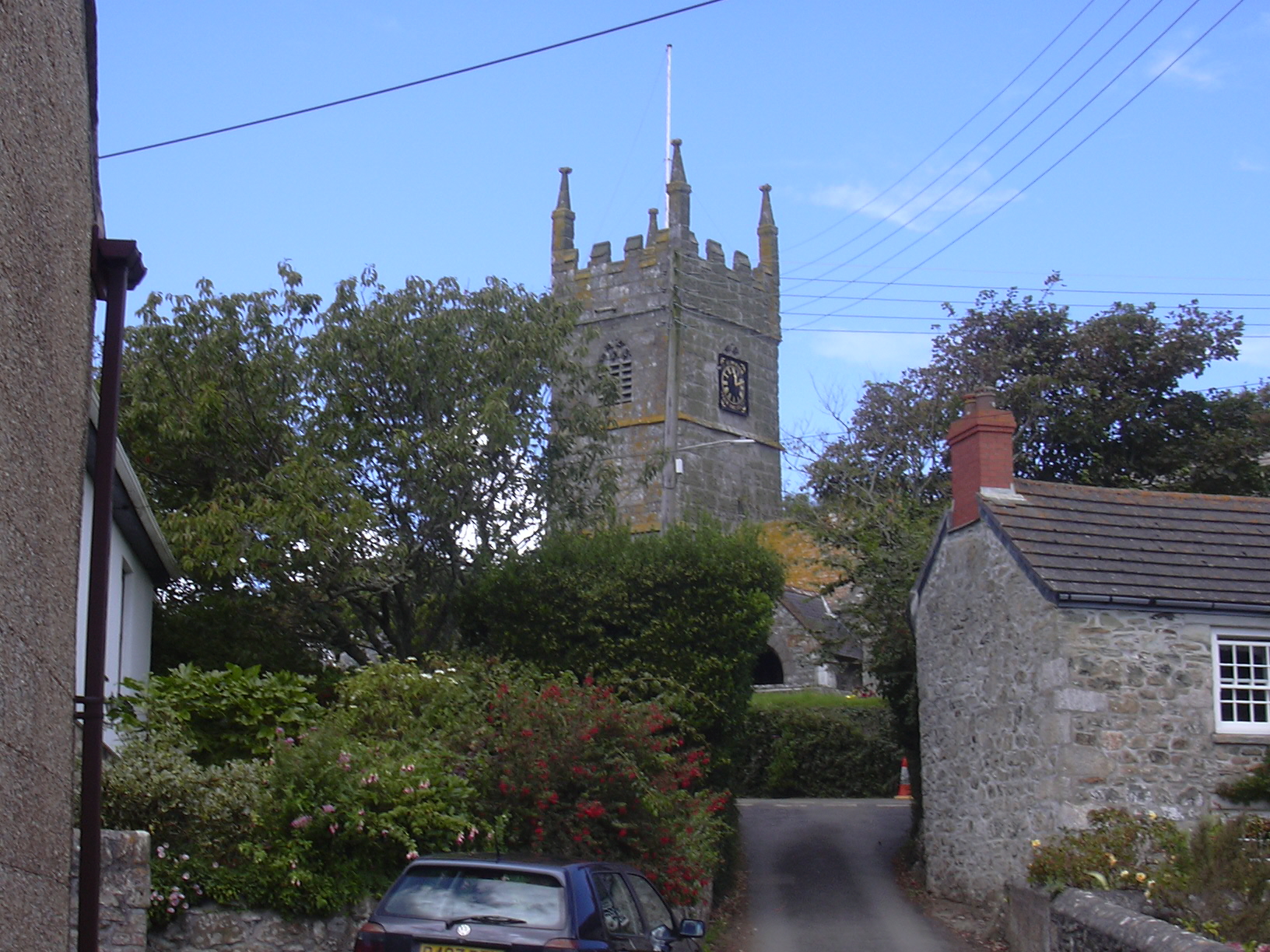
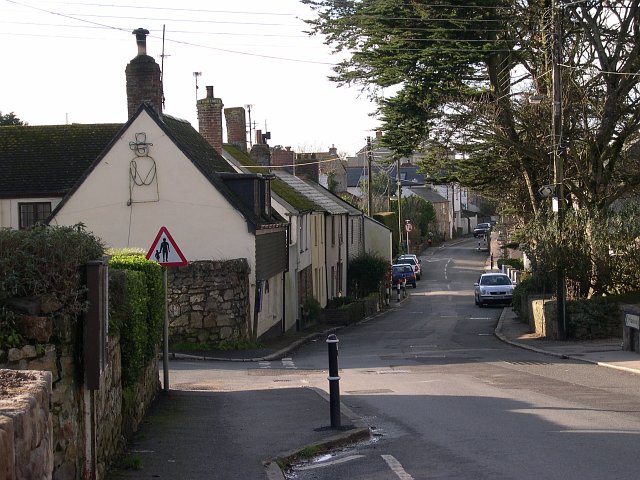
Temis Cove Images
Images are sourced within 2km of 50.111891/-5.449261 or Grid Reference SW5329. Thanks to Geograph Open Source API. All images are credited.


Temis Cove is located at Grid Ref: SW5329 (Lat: 50.111891, Lng: -5.449261)
Unitary Authority: Cornwall
Police Authority: Devon and Cornwall
What 3 Words
///parties.pheasants.cheesy. Near Marazion, Cornwall
Nearby Locations
Related Wikis
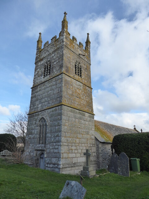
Perranuthnoe
Perranuthnoe () is a civil parish and a village in southwest Cornwall, England, United Kingdom. The parish population at the 2011 census was 2,184. The...

Mount Haven Hotel
Mount Haven Hotel is a hotel near the coast on the eastern side of the town of Marazion, Cornwall, England, UK, several miles east of Penzance. It is next...
Goldsithney
Goldsithney (Cornish: Golsydhni, meaning fair of St Sithney) is a village in west Cornwall, England, United Kingdom. It is on the B3280 at grid reference...

Acton Castle
Acton Castle is a small castellated mansion near Perranuthnoe, Cornwall. It is a Grade II* listed building. It was built c. 1775, and according to some...
Nearby Amenities
Located within 500m of 50.111891,-5.449261Have you been to Temis Cove?
Leave your review of Temis Cove below (or comments, questions and feedback).