Carraig MhicIllìomhair

Coastal Marsh, Saltings in Argyllshire

Scotland

Carraig MhicIllìomhair

Eilean nan Coinein and Eilean Dìomhain
Eilean nan Coinein and Eilean Dìomhain Credit: Alpin Stewart

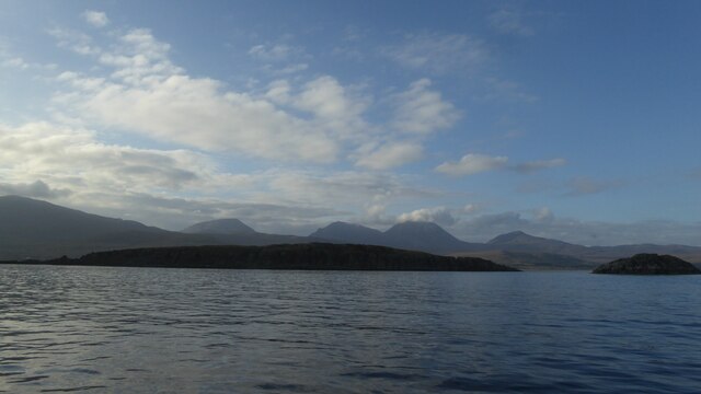
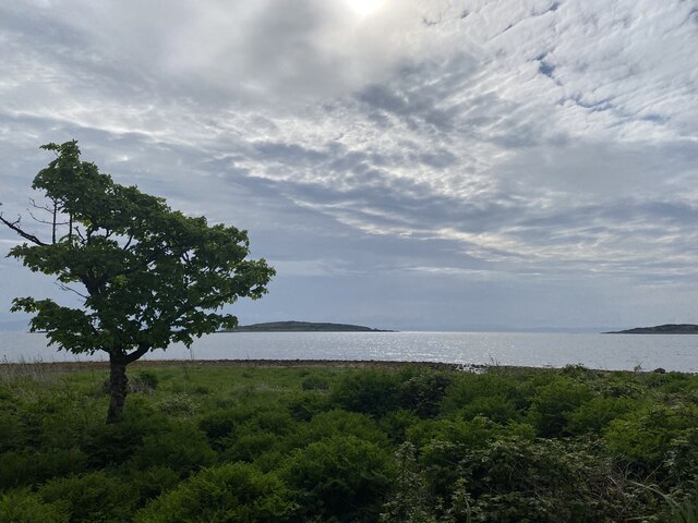
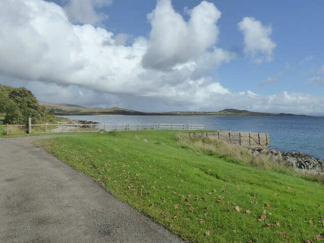
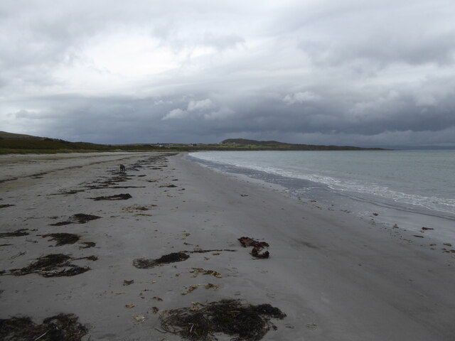
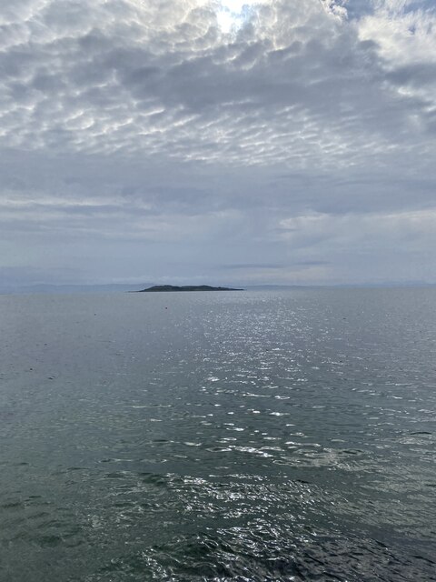
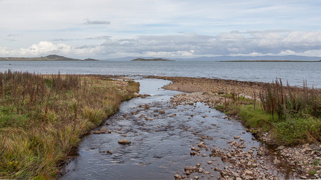
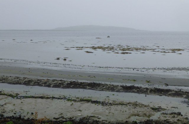
Carraig MhicIllìomhair is a coastal marsh and saltings located in Argyllshire, Scotland. It is situated on the western coast of the country, overlooking the Atlantic Ocean. The area is characterized by its diverse ecosystem, consisting of marshes, mudflats, and salt marshes.

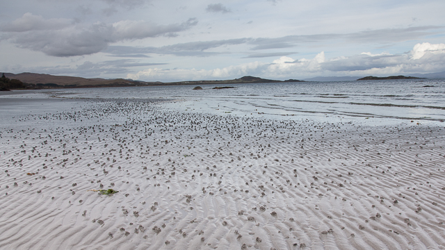
The marshland is known for its rich biodiversity, attracting numerous species of birds, plants, and marine life. It serves as an important breeding ground and habitat for various bird species, including wading birds, ducks, and geese. The mudflats and salt marshes provide food and shelter for these birds, making it an ideal location for birdwatching enthusiasts.

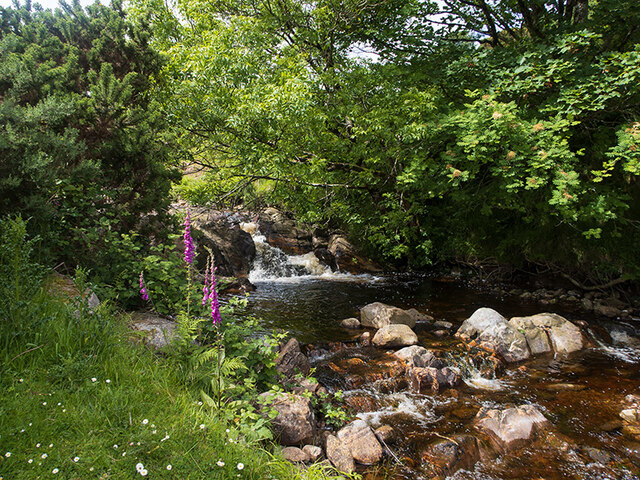
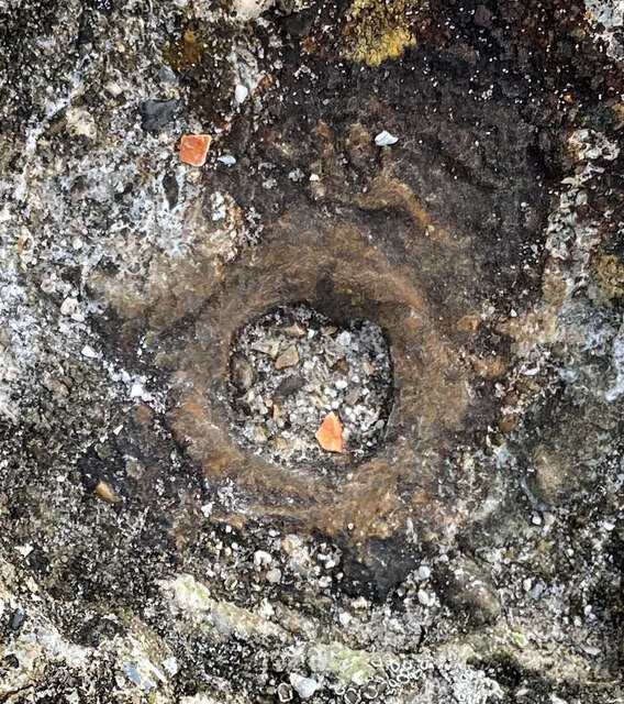
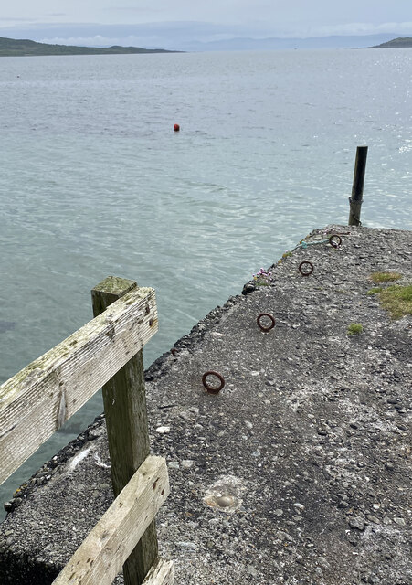
The landscape of Carraig MhicIllìomhair is dominated by low-lying wetlands, with patches of grass and reeds scattered throughout. Tidal channels cut through the marsh, creating a network of waterways that are influenced by the ebb and flow of the tides. During high tide, the marshes are partially submerged, while at low tide, extensive mudflats are exposed.

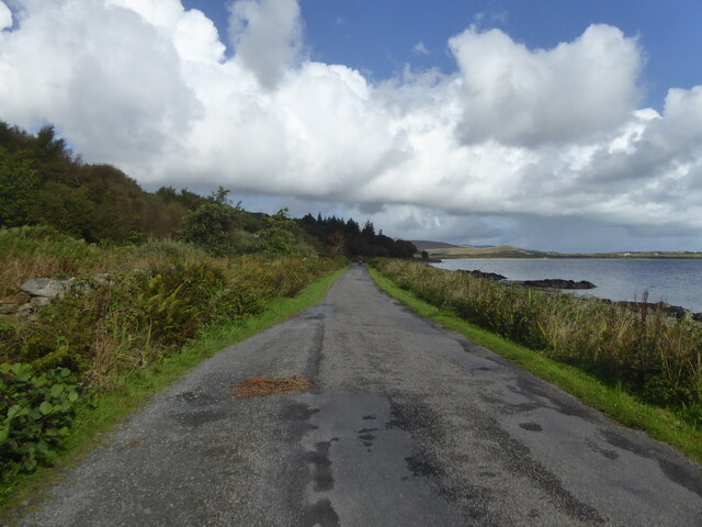
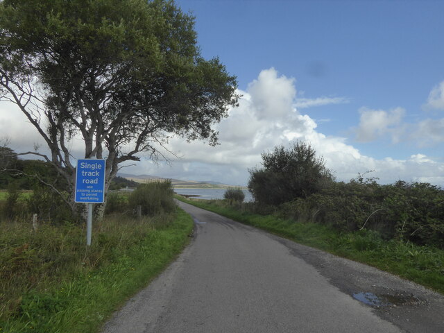
The area is a designated nature reserve, managed and protected by local conservation organizations. Visitors can explore the marshland through a network of trails and boardwalks, allowing them to observe the unique flora and fauna up close. Interpretive signs provide information about the local wildlife and the importance of preserving this fragile ecosystem.

Carraig MhicIllìomhair offers a peaceful and serene environment, away from the hustle and bustle of urban life. It is a place where nature thrives, providing a valuable habitat for a wide range of species and offering visitors a chance to connect with the natural world.

If you have any feedback on the listing, please let us know in the comments section below.

Carraig MhicIllìomhair Images

Images are sourced within 2km of 55.860357/-5.9395451 or Grid Reference NR5370. Thanks to Geograph Open Source API. All images are credited.

Eilean nan Coinein and Eilean Dìomhain
A846 near Feolin, Isle of Jura
A846 northbound, Isle of Jura
Keils Burial Ground
Keils Burial Ground
Abhainn a' Mhinisteir The burn running alongside the Keils burial ground.
Abhainn a' Mhinisteir
The burn running alongside the Keils burial ground.
Views out to sea near Carraig an Fhion
Former church at Leargybreck, Isle of Jura
Jetty at Carraig Mhic Illiomhair, Isle of Jura
Corran Beach, Isle of Jura
Views out to sea
Views out to sea
OS Bolt - Jura Forest Pier <span class="nowrap"><a title="https://www.bench-marks.org.uk/bm204548" rel="nofollow ugc noopener" href="https://www.bench-marks.org.uk/bm204548">Link</a><img style="margin-left:2px;" alt="External link" title="External link - shift click to open in new window" src="https://s1.geograph.org.uk/img/external.png" width="10" height="10"/></span>
OS Bolt - Jura Forest Pier
Location of OS Bolt - Jura Forest Pier
OS - Jura Forest Pier - Pipe <span class="nowrap"><a title="https://trigpointing.uk/wiki/Pipe" rel="nofollow ugc noopener" href="https://trigpointing.uk/wiki/Pipe">Link</a><img style="margin-left:2px;" alt="External link" title="External link - shift click to open in new window" src="https://s1.geograph.org.uk/img/external.png" width="10" height="10"/></span>
There are 27 instances of a pipe in the OSGB36 list. 22 of these are in common with the T:UK list with 5 additional and one not included. The 5 'extras' are all roof stations, classified by T:UK as Intersected Stations and all are thought to be destroyed. Descriptions of these include 'Iron Pipe', 'Vent Pipe', 'Wtr Twr' and 'Resr Syphon'. The pipe mark at Gugh is not in the OSGB36 list.
OS - Jura Forest Pier - Pipe
LinkExternal link There are 27 instances of a pipe in the OSGB36 list. 22 of these are in common with the T:UK list with 5 additional and one not included. The 5 'extras' are all roof stations, classified by T:UK as Intersected Stations and all are thought to be destroyed. Descriptions of these include 'Iron Pipe', 'Vent Pipe', 'Wtr Twr' and 'Resr Syphon'. The pipe mark at Gugh is not in the OSGB36 list.
Location of OS Bolt - Jura Forest Pier
River flowing into the sea
Sandy beach with lugworm casts
Small Isles Primary School Small Isles Primary serves the island of Jura off the west coast of Scotland which has a population of around two hundred people.  Our families live in Craighouse which is the main village as well as in other communities around the island - Knockrome, Ardfarnal, Tarbert, Inverlussa and Ardlussa.  <span class="nowrap"><a title="http://www.smallisles.argyll-bute.sch.uk/about" rel="nofollow ugc noopener" href="http://www.smallisles.argyll-bute.sch.uk/about">Link</a><img style="margin-left:2px;" alt="External link" title="External link - shift click to open in new window" src="https://s1.geograph.org.uk/img/external.png" width="10" height="10"/></span>
Small Isles Primary School
Small Isles Primary serves the island of Jura off the west coast of Scotland which has a population of around two hundred people. Our families live in Craighouse which is the main village as well as in other communities around the island - Knockrome, Ardfarnal, Tarbert, Inverlussa and Ardlussa. LinkExternal link
Looking across the beach at Feolin Farm Towards Pladda and the other Small Isles.
Looking across the beach at Feolin Farm
Towards Pladda and the other Small Isles.
Show me another place!

Carraig MhicIllìomhair is located at Grid Ref: NR5370 (Lat: 55.860357, Lng: -5.9395451)

Unitary Authority: Argyll and Bute

Police Authority: Argyll and West Dunbartonshire

What 3 Words

///boards.conducted.transfers. Near Craighouse, Argyll & Bute

Related Wikis

Small Isles, Argyll

The Small Isles are a group of uninhabited islands east of Jura, in the council area of Argyll and Bute, Scotland. From south to north, the five islands...

Keils

Keils formerly Kilearnadill is a hamlet 0.25 miles (0.40 km) from Craighouse on the island of Jura, in the council area of Argyll and Bute, Scotland. Keils...

Knockrome

Knockrome is a hamlet on the island of Jura, in the civil parish of Jura, in the council area of Argyll and Bute, Scotland. On the 1982 OS 1:10000 map...

Ardfernal

Ardfernal (Scottish Gaelic: Àird Fheàrnail) is a hamlet on the island of Jura in Argyll and Bute, Scotland. The township had 16 buildings in 1882 and 9...

Nearby Amenities

Located within 500m of 55.860357,-5.9395451
Material: wood
Power: pole
Lat/Long: 55.8581511/-5.9465135
Material: wood
Power: pole
Lat/Long: 55.8592515/-5.9461404
Material: wood
Power: pole
Lat/Long: 55.860309/-5.9457573
Material: wood
Power: pole
Lat/Long: 55.8613943/-5.9453952
Material: wood
Power: pole
Lat/Long: 55.8624555/-5.944545
Power: pole
Lat/Long: 55.8634595/-5.9437403
Corra-ghoirtein
Place: isolated_dwelling
Lat/Long: 55.864825/-5.9386503
The data included in this document is from www.openstreetmap.org. The data is made available under ODbL.

Have you been to Carraig MhicIllìomhair?

Leave your review of Carraig MhicIllìomhair below (or comments, questions and feedback).