Baker's Bottom
Valley in Surrey Waverley
England
Baker's Bottom

Baker's Bottom is a small valley located in the county of Surrey, England. Situated in the southeastern part of the county, it is surrounded by picturesque countryside and rolling hills. The valley is named after a local baker who once operated a bakery in the area.
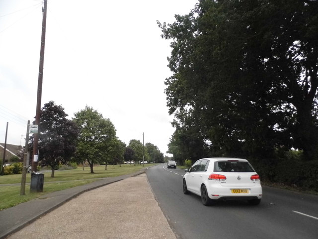
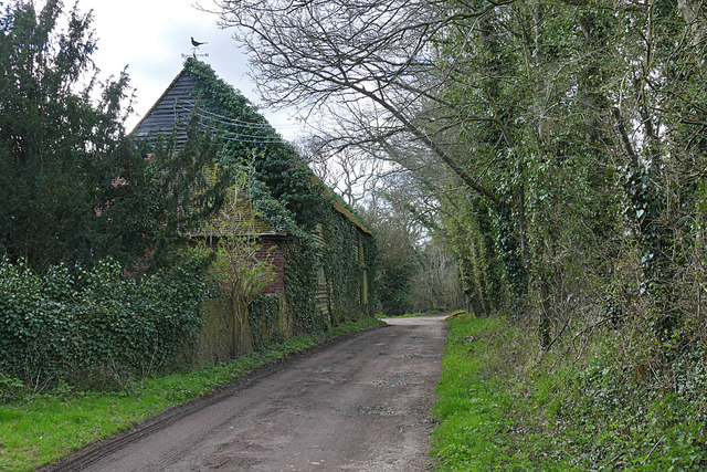
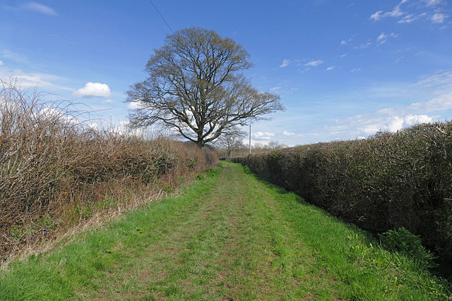
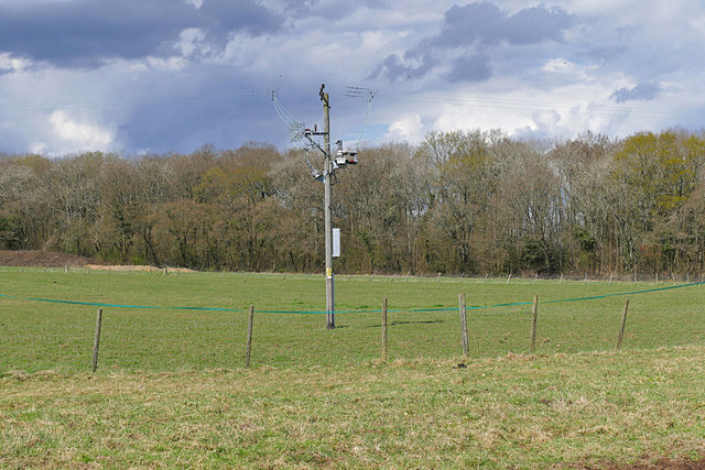
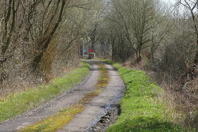
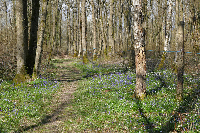
Baker's Bottom is known for its natural beauty and tranquility, with its lush green fields, meandering streams, and charming rural landscapes. The valley is predominantly agricultural, with a mix of farms and smallholdings dotting the area. The fertile soil and favorable climate make it an ideal location for farming and growing crops.
The valley is also home to a diverse range of wildlife, including various species of birds, mammals, and insects. It is a haven for nature enthusiasts and birdwatchers, who can spot a wide array of species in the area.
Baker's Bottom offers a peaceful retreat from the hustle and bustle of city life, making it a popular destination for those seeking a quiet countryside getaway. It provides ample opportunities for outdoor activities such as hiking, cycling, and picnicking.
Despite its idyllic setting, Baker's Bottom is conveniently located close to several towns and villages. It is within easy reach of larger towns such as Guildford and Farnham, which offer a wider range of amenities and services.
Overall, Baker's Bottom is a charming and serene valley in Surrey, offering a perfect blend of natural beauty, rural charm, and accessibility to nearby towns.
If you have any feedback on the listing, please let us know in the comments section below.
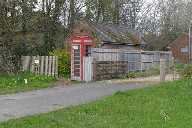
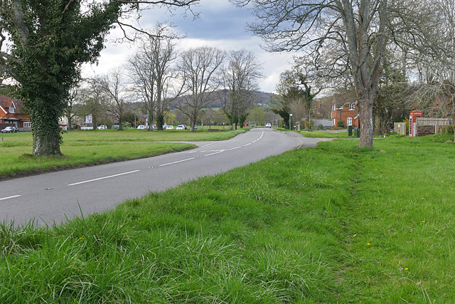
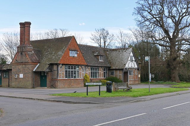
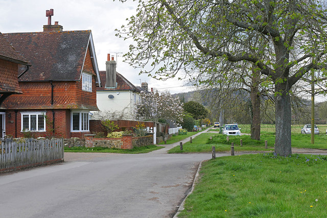
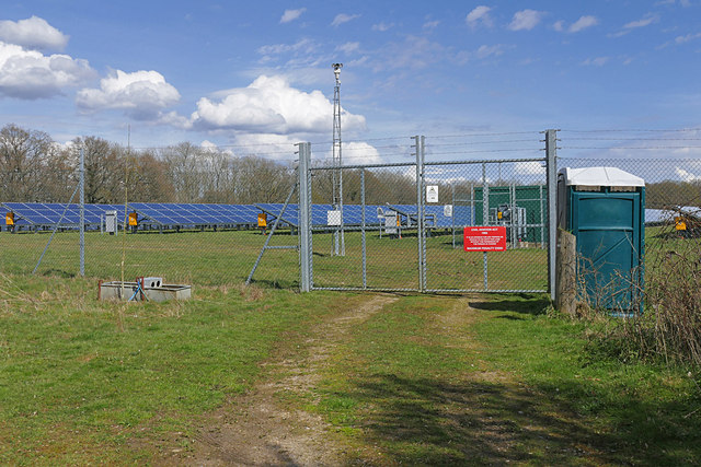
Baker's Bottom Images
Images are sourced within 2km of 51.107661/-0.54069253 or Grid Reference TQ0235. Thanks to Geograph Open Source API. All images are credited.


Baker's Bottom is located at Grid Ref: TQ0235 (Lat: 51.107661, Lng: -0.54069253)
Administrative County: Surrey
District: Waverley
Police Authority: Surrey
What 3 Words
///spruced.shoulders.circular. Near Cranleigh, Surrey
Nearby Locations
Related Wikis

Fir Tree Copse
Fir Tree Copse is a 6-hectare (15-acre) nature reserve south-east of Dunsfold in Surrey. It is managed by the Surrey Wildlife Trust and is part of the...

Top Gear test track
The Top Gear test track is used by the BBC automotive television programme Top Gear. It is located at Dunsfold Aerodrome in Surrey, United Kingdom. The...

Dunsfold Aerodrome
Dunsfold Aerodrome (former ICAO code EGTD) is an unlicensed airfield in Surrey, England, near the village of Cranleigh. It extends across land in the villages...

Wey and Arun Canal
The Wey and Arun Canal is a partially open, 23-mile-long (37 km) canal in the southeast of England. It runs southwards from the River Wey at Gunsmouth...

Alfold F.C.
Alfold Football Club is a football club based in Alfold, Surrey, England. They are currently members of the Southern Combination Division One and play...

London to Portsmouth canal
The London to Portsmouth canal was a concept for the construction of a secure inland canal route from the British capital of London to the headquarters...

Dunsfold
Dunsfold is a village in the borough of Waverley, Surrey, England, 8.7 miles (14.0 kilometres) south of Guildford. It lies in the Weald and reaches in...

Alfold
Alfold is a village and civil parish in Surrey, England on the West Sussex border. Alfold is a dispersed or polyfocal village in the Green Belt, which...
Nearby Amenities
Located within 500m of 51.107661,-0.54069253Have you been to Baker's Bottom?
Leave your review of Baker's Bottom below (or comments, questions and feedback).