Firtree Copse
Wood, Forest in Surrey Waverley
England
Firtree Copse

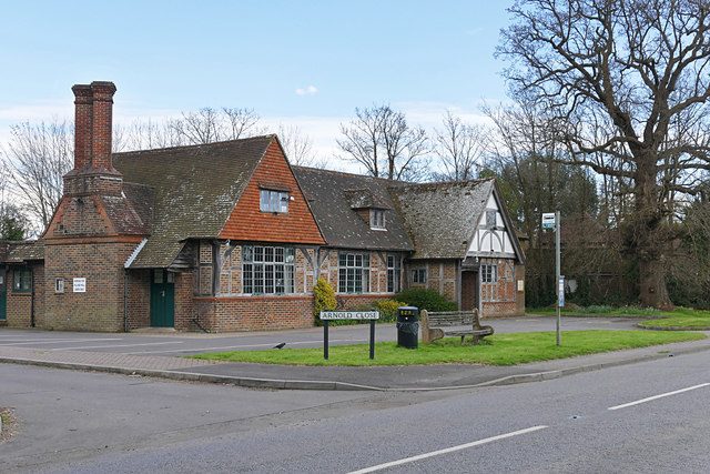
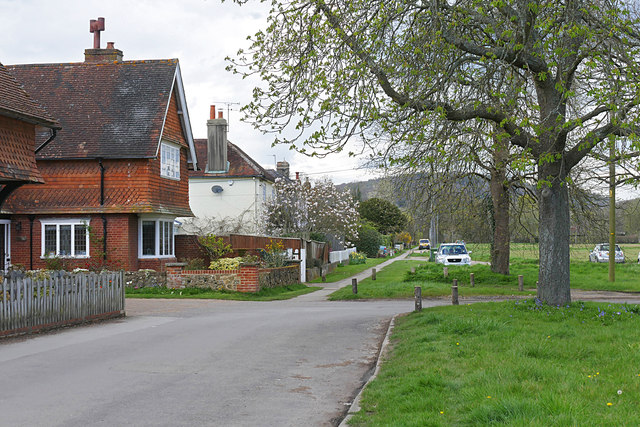
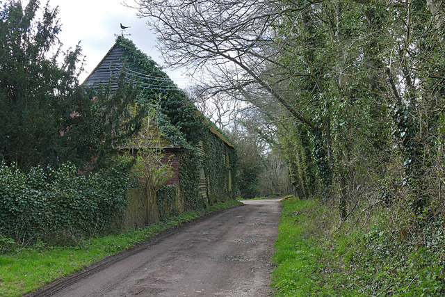
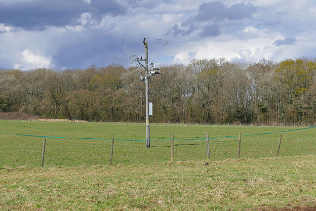
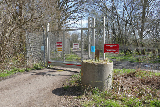
Firtree Copse, located in Surrey, England, is a beautiful woodland area that covers approximately 50 acres. It is a designated Site of Special Scientific Interest (SSSI), indicating its importance in terms of conservation and ecological significance. The copse is situated near the village of Chiddingfold, providing a peaceful and serene escape from the nearby urban areas.
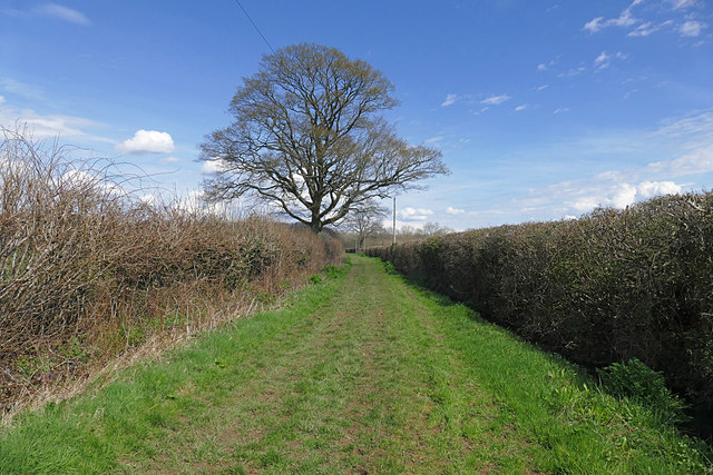
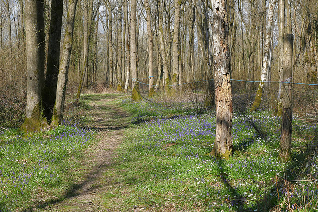
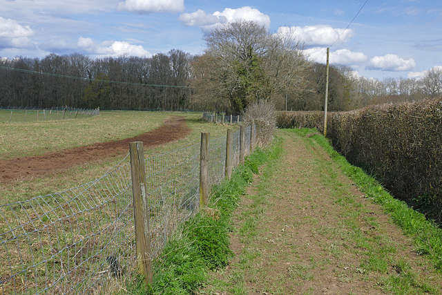
The woodland is primarily composed of mixed broadleaf trees, including oak, beech, birch, and hornbeam. This diverse range of tree species creates a rich and vibrant ecosystem, providing habitats for various flora and fauna. The forest floor is adorned with bluebells in the spring, creating a picturesque scene that attracts many visitors.
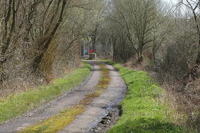
Firtree Copse offers several walking trails, allowing visitors to explore the woodland and appreciate its natural beauty. The paths wind through the trees, providing ample opportunities for birdwatching and wildlife spotting. The copse is home to a variety of bird species, including woodpeckers, nuthatches, and tawny owls.
The management of Firtree Copse focuses on maintaining its ecological integrity while also providing recreational opportunities for the public. Conservation efforts include selective tree thinning and the creation of glades to encourage biodiversity. The copse is also managed to control invasive species and maintain a healthy balance within the ecosystem.
Overall, Firtree Copse is a tranquil woodland area in Surrey, offering a haven for nature lovers and those seeking a peaceful retreat. Its diverse range of trees, wildlife, and walking trails make it a popular destination for both locals and tourists alike.
If you have any feedback on the listing, please let us know in the comments section below.
Firtree Copse Images
Images are sourced within 2km of 51.105923/-0.53980448 or Grid Reference TQ0235. Thanks to Geograph Open Source API. All images are credited.


Firtree Copse is located at Grid Ref: TQ0235 (Lat: 51.105923, Lng: -0.53980448)
Administrative County: Surrey
District: Waverley
Police Authority: Surrey
What 3 Words
///timed.shortens.cosmic. Near Cranleigh, Surrey
Nearby Locations
Related Wikis

Fir Tree Copse
Fir Tree Copse is a 6-hectare (15-acre) nature reserve south-east of Dunsfold in Surrey. It is managed by the Surrey Wildlife Trust and is part of the...

Dunsfold Aerodrome
Dunsfold Aerodrome (former ICAO code EGTD) is an unlicensed airfield in Surrey, England, near the village of Cranleigh. It extends across land in the villages...

Top Gear test track
The Top Gear test track is used by the BBC automotive television programme Top Gear. It is located at Dunsfold Aerodrome in Surrey, United Kingdom. The...

Alfold F.C.
Alfold Football Club is a football club based in Alfold, Surrey, England. They are currently members of the Southern Combination Division One and play...

Wey and Arun Canal
The Wey and Arun Canal is a partially open, 23-mile-long (37 km) canal in the southeast of England. It runs southwards from the River Wey at Gunsmouth...

Alfold
Alfold is a village and civil parish in Surrey, England on the West Sussex border. Alfold is a dispersed or polyfocal village in the Green Belt, which...

London to Portsmouth canal
The London to Portsmouth canal was a concept for the construction of a secure inland canal route from the British capital of London to the headquarters...

Dunsfold
Dunsfold is a village in the borough of Waverley, Surrey, England, 8.7 miles (14.0 kilometres) south of Guildford. It lies in the Weald and reaches in...
Nearby Amenities
Located within 500m of 51.105923,-0.53980448Have you been to Firtree Copse?
Leave your review of Firtree Copse below (or comments, questions and feedback).