Chalcrofts Rough
Wood, Forest in Surrey Waverley
England
Chalcrofts Rough
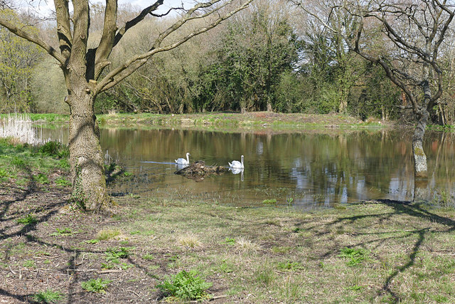
Chalcrofts Rough is a wooded area located in Surrey, England. Situated within the larger Surrey Hills Area of Outstanding Natural Beauty, this forested space covers an approximate area of 100 acres. The rough is characterized by a diverse range of trees, including oak, beech, and birch, creating a picturesque landscape that is typical of the English countryside.
This woodland has a rich history, dating back several centuries. It is believed that the land was once part of the medieval royal hunting ground, known as the Forest of Surrey. Over the years, Chalcrofts Rough has been managed by various landowners and has undergone modifications to meet the needs of the time. However, efforts have been made to preserve its natural beauty and protect the local wildlife.
The forest provides an important habitat for a variety of flora and fauna. It is home to several species of birds, including woodpeckers, owls, and tits, as well as small mammals such as deer, foxes, and rabbits. Visitors to Chalcrofts Rough can enjoy scenic walks along well-maintained footpaths, immersing themselves in the tranquility of the woodland.
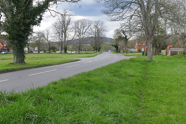
The management of Chalcrofts Rough is overseen by the local authorities, who work to maintain the delicate balance between preserving the natural environment and allowing public access. The forest is a popular destination for nature lovers, hikers, and families looking to escape the hustle and bustle of urban life. With its serene atmosphere and beautiful surroundings, Chalcrofts Rough offers a peaceful retreat for all who visit.
If you have any feedback on the listing, please let us know in the comments section below.
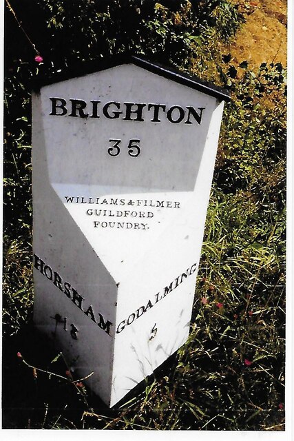
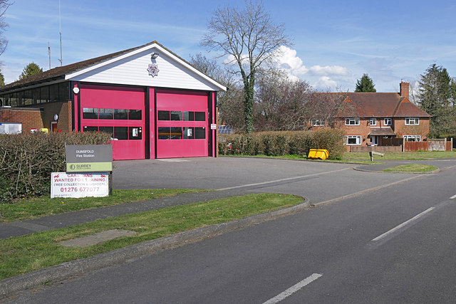
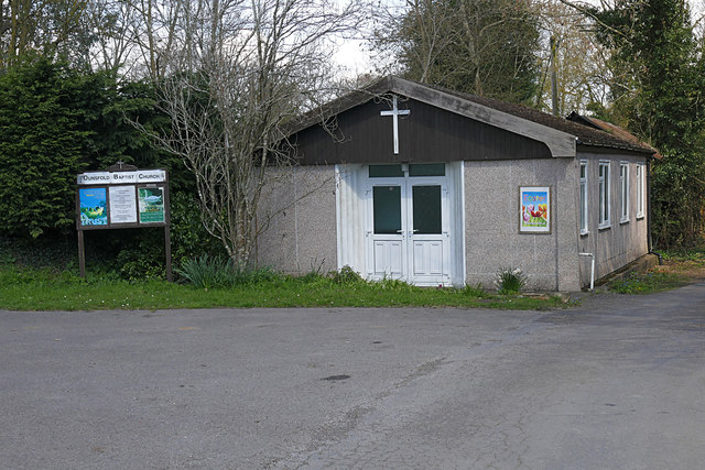
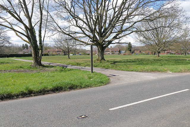
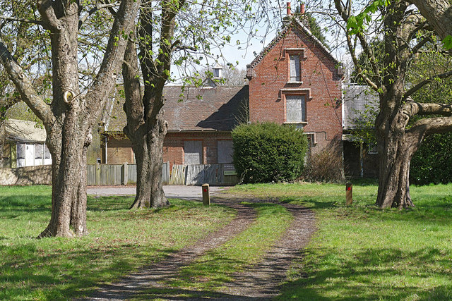
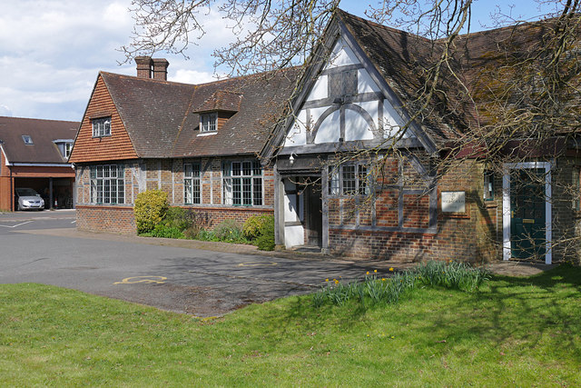
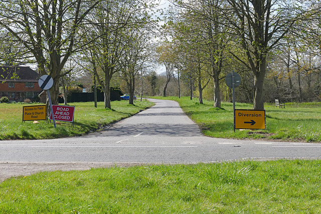
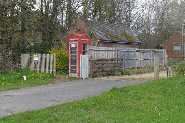
Chalcrofts Rough Images
Images are sourced within 2km of 51.114019/-0.53996367 or Grid Reference TQ0235. Thanks to Geograph Open Source API. All images are credited.


Chalcrofts Rough is located at Grid Ref: TQ0235 (Lat: 51.114019, Lng: -0.53996367)
Administrative County: Surrey
District: Waverley
Police Authority: Surrey
What 3 Words
///emulating.neater.dabbled. Near Cranleigh, Surrey
Nearby Locations
Related Wikis

Top Gear test track
The Top Gear test track is used by the BBC automotive television programme Top Gear. It is located at Dunsfold Aerodrome in Surrey, United Kingdom. The...

Dunsfold Aerodrome
Dunsfold Aerodrome (former ICAO code EGTD) is an unlicensed airfield in Surrey, England, near the village of Cranleigh. It extends across land in the villages...

Fir Tree Copse
Fir Tree Copse is a 6-hectare (15-acre) nature reserve south-east of Dunsfold in Surrey. It is managed by the Surrey Wildlife Trust and is part of the...

Wey and Arun Canal
The Wey and Arun Canal is a partially open, 23-mile-long (37 km) canal in the southeast of England. It runs southwards from the River Wey at Gunsmouth...

London to Portsmouth canal
The London to Portsmouth canal was a concept for the construction of a secure inland canal route from the British capital of London to the headquarters...

Dunsfold
Dunsfold is a village in the borough of Waverley, Surrey, England, 8.7 miles (14.0 kilometres) south of Guildford. It lies in the Weald and reaches in...

Alfold F.C.
Alfold Football Club is a football club based in Alfold, Surrey, England. They are currently members of the Southern Combination Division One and play...

Alfold
Alfold is a village and civil parish in Surrey, England on the West Sussex border. Alfold is a dispersed or polyfocal village in the Green Belt, which...
Nearby Amenities
Located within 500m of 51.114019,-0.53996367Have you been to Chalcrofts Rough?
Leave your review of Chalcrofts Rough below (or comments, questions and feedback).