Corner Copse

Wood, Forest in Sussex Chichester

England

Corner Copse

Newly lowered pound, Wey and Arun Canal, 2007 The canal was culverted under a lowered B2133 after closure. A requirement of the resurrection of this part of the canal was that the road level was not to be altered. Consequently the canal under a new bridge, still in hand ahead, had to be at a lower level than previously. This is the more deeply dug pound. This needed a drastically altered lower lock and a completely new lock beyond the bridge.
Newly lowered pound, Wey and Arun Canal, 2007 Credit: Robin Webster

Corner Copse is a picturesque woodland located in the county of Sussex, England. Situated near the village of West Chiltington, this woodland is a popular destination for nature lovers and outdoor enthusiasts alike.

Covering an area of approximately 100 acres, Corner Copse is characterized by its dense canopy of native tree species, including oak, beech, and ash. The forest floor is adorned with a rich diversity of flora, such as bluebells, primroses, and wild garlic, creating a vibrant and colorful scene during the spring and summer months.

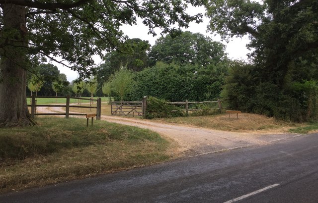
The woodland is crisscrossed with a network of well-maintained footpaths, allowing visitors to explore its natural beauty at their own pace. These paths wind through the trees, leading to secluded clearings and tranquil spots, providing ample opportunities for peaceful walks and contemplation.

Corner Copse is home to a variety of wildlife, making it a haven for nature enthusiasts. Birdwatchers can spot an array of avian species, including woodpeckers, nuthatches, and tawny owls. Additionally, the wood is inhabited by small mammals, such as squirrels, rabbits, and foxes.

Managed by the local forestry commission, Corner Copse is well-preserved and cared for. The woodland is regularly maintained to ensure the health and longevity of its trees, and efforts are made to promote biodiversity and protect the ecosystem.

Overall, Corner Copse is a charming woodland retreat that offers a peaceful escape from the hustle and bustle of everyday life. Whether it's a leisurely stroll, birdwatching, or simply enjoying the beauty of nature, this woodland is a delight for visitors of all ages.

If you have any feedback on the listing, please let us know in the comments section below.
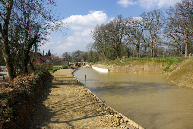
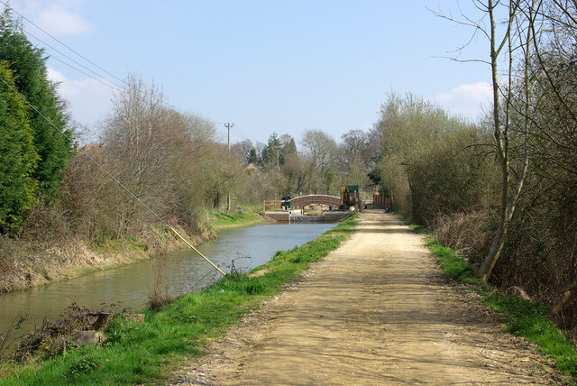
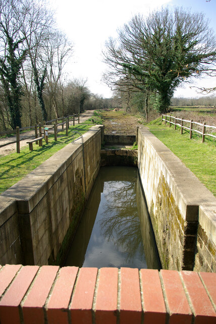
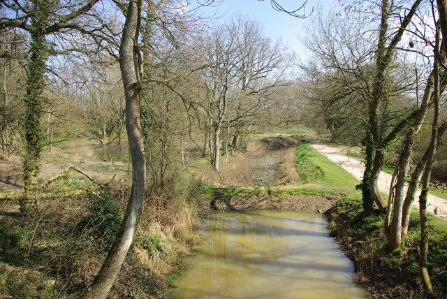
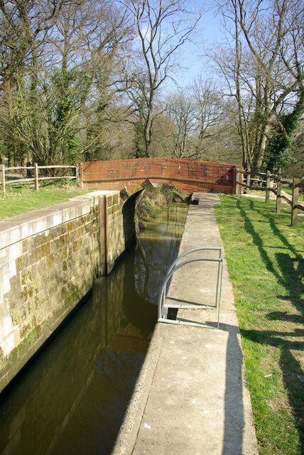
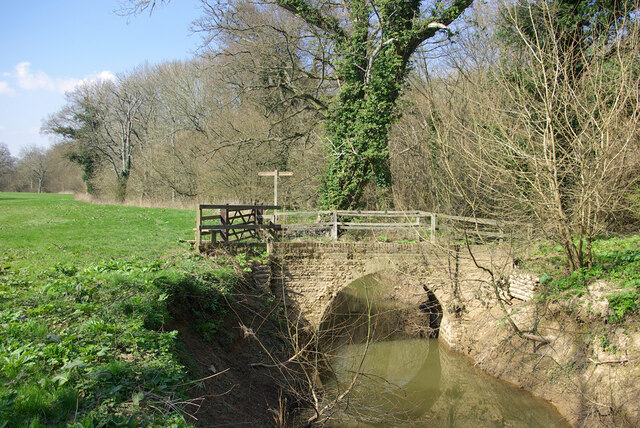
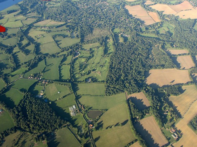
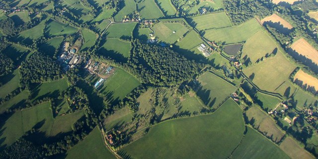
Corner Copse Images

Images are sourced within 2km of 51.065467/-0.54140595 or Grid Reference TQ0230. Thanks to Geograph Open Source API. All images are credited.

Newly lowered pound, Wey and Arun Canal, 2007 The canal was culverted under a lowered B2133 after closure. A requirement of the resurrection of this part of the canal was that the road level was not to be altered. Consequently the canal under a new bridge, still in hand ahead, had to be at a lower level than previously. This is the more deeply dug pound. This needed a drastically altered lower lock and a completely new lock beyond the bridge.
Newly lowered pound, Wey and Arun Canal, 2007
The canal was culverted under a lowered B2133 after closure. A requirement of the resurrection of this part of the canal was that the road level was not to be altered. Consequently the canal under a new bridge, still in hand ahead, had to be at a lower level than previously. This is the more deeply dug pound. This needed a drastically altered lower lock and a completely new lock beyond the bridge.
New lock and bridge, 2007 The canal was culverted under a lowered B2133 after closure. A requirement of the resurrection of the canal was that the road level was not to be altered. Consequently the canal under a new bridge (still in hand and beyond the one ahead), had to be at a lower level than previously. This needed a drastically altered lower lock and this completely new upper lock, the old canal level being as seen here.
New lock and bridge, 2007
The canal was culverted under a lowered B2133 after closure. A requirement of the resurrection of the canal was that the road level was not to be altered. Consequently the canal under a new bridge (still in hand and beyond the one ahead), had to be at a lower level than previously. This needed a drastically altered lower lock and this completely new upper lock, the old canal level being as seen here.
Devil's Hole Lock, Wey and Arun Canal, 2007 The stonework has been very drastically repaired, but no gates yet, with the canal above still yet to be watered.
Devil's Hole Lock, Wey and Arun Canal, 2007
The stonework has been very drastically repaired, but no gates yet, with the canal above still yet to be watered.
Pound below Devil's Hole Lock, 2007 The partly restored Wey and Arun Canal, split into watered parts and cleared but more or less dry parts.
Pound below Devil's Hole Lock, 2007
The partly restored Wey and Arun Canal, split into watered parts and cleared but more or less dry parts.
Devil's Hole Lock, Wey and Arun Canal, 2007 The stonework has been very drastically repaired, but no gates yet, with the canal above still yet to be watered.
Devil's Hole Lock, Wey and Arun Canal, 2007
The stonework has been very drastically repaired, but no gates yet, with the canal above still yet to be watered.
Barberry Bridge, River Lox Public footpath 622_1 crosses an interesting brick bridge. Its muddy state suggests the river often floods. This is looking upstream.
Barberry Bridge, River Lox
Public footpath 622_1 crosses an interesting brick bridge. Its muddy state suggests the river often floods. This is looking upstream.
Foxbridge Golf Club from the air Wephurst Wood lies to the east of the course; Furze Field and Broad Field, also shown in <a href="https://www.geograph.org.uk/photo/5151386">TQ0129 : Woodland near Ifold from the air</a>, are at lower left. Ifold is the village set in woodland at the top.
Foxbridge Golf Club from the air
Wephurst Wood lies to the east of the course; Furze Field and Broad Field, also shown in TQ0129 : Woodland near Ifold from the air, are at lower left. Ifold is the village set in woodland at the top.
Woodland near Ifold from the air The woods at Furze Field and Broad Field also appear in the aerial shot at <a href="https://www.geograph.org.uk/photo/5151368">TQ0229 : Foxbridge Golf Club from the air</a>. The houses at the top are along Rickman's Lane. Left of the wood is Crouchlands Farm.
Woodland near Ifold from the air
The woods at Furze Field and Broad Field also appear in the aerial shot at TQ0229 : Foxbridge Golf Club from the air. The houses at the top are along Rickman's Lane. Left of the wood is Crouchlands Farm.
Entrance to Caleb’s Brook
Entrance to Oakley Grange and Willow Barn
Cottages beside the Plaistow Road
Farm Lane The Lane leading to Lanelands Farm and Spitwick Barn.
Farm Lane
The Lane leading to Lanelands Farm and Spitwick Barn.
Costrong Farm Costrong Farm viewed from the Plaistow Road near the point where a public footpath leaves on the right.
Costrong Farm
Costrong Farm viewed from the Plaistow Road near the point where a public footpath leaves on the right.
Costrong Farm on the Plaistow Road
Fruit Farm and Nursery
Ravensnest by the Plaistow Road
Lanes meet at the Corner Rickman’s Lane and Foxbridge Lane meet with the Plaistow Road at the corner.
Lanes meet at the Corner
Rickman’s Lane and Foxbridge Lane meet with the Plaistow Road at the corner.
Bridleway to Wephurst Wood Access through the gated entrance is required at all times to the Electricity Sub Station a short distance down the track.
Bridleway to Wephurst Wood
Access through the gated entrance is required at all times to the Electricity Sub Station a short distance down the track.
Show me another place!

Corner Copse is located at Grid Ref: TQ0230 (Lat: 51.065467, Lng: -0.54140595)

Administrative County: West Sussex

District: Chichester

Police Authority: Sussex

What 3 Words

///starting.condensed.steady. Near Rudgwick, West Sussex

Related Wikis

Ifold

Ifold is a hamlet in West Sussex and part of the civil Parish of Plaistow, of which it is the largest settlement. Ifold is classified as a hamlet. Ifold...

Loxwood F.C.

Loxwood Football Club is a football club based in Loxwood, West Sussex, England. Nicknamed "The Magpies" and affiliated to the Surrey County FA, they are...

Loxwood

Loxwood is a small village and civil parish with several outlying settlements, in the Chichester district of West Sussex, England, within the Low Weald...

Plaistow, West Sussex

Plaistow ( PLAST-oh) is a village and civil parish in the north of the Chichester District of West Sussex, England. There is a village green, a recreation...

Nearby Amenities

Located within 500m of 51.065467,-0.54140595
Bus Stop
Chalk Road
Bench: yes
Bin: no
Lit: no
Naptan AtcoCode: 4400HR0257
Naptan Bearing: SE
Naptan CommonName: Chalk Road
Naptan Indicator: adj Chalk Road
Naptan Landmark: Chalk Road
Naptan NaptanCode: wsxatwpj
Naptan Street: Plaistow Road
Naptan Verified: no
Public Transport: platform
Shelter: yes
Source: naptan_import
Tactile Paving: no
Lat/Long: 51.0682826/-0.5440676
Bus Stop
Chalk Road
Naptan AtcoCode: 4400HR0258
Naptan Bearing: NW
Naptan BusStopType: CUS
Naptan CommonName: Chalk Road
Naptan Indicator: opp Chalk Road
Naptan Landmark: Chalk Road
Naptan NaptanCode: wsxatwpm
Naptan Street: Plaistow Road
Naptan Verified: no
Public Transport: platform
Source: naptan_import
Lat/Long: 51.0681262/-0.5440844
Bus Stop
Plaistow Road
Naptan AtcoCode: 4400HR0913
Naptan Bearing: SE
Naptan BusStopType: CUS
Naptan CommonName: Plaistow Road
Naptan Indicator: HAR
Naptan Landmark: Hail & Ride
Naptan NaptanCode: wsxgajda
Naptan Street: Plaistow Road
Naptan Verified: no
Public Transport: platform
Source: naptan_import
Lat/Long: 51.0655355/-0.5391614
Bus Stop
Plaistow Road
Naptan AtcoCode: 4400HR0914
Naptan Bearing: NW
Naptan BusStopType: CUS
Naptan CommonName: Plaistow Road
Naptan Indicator: HAR
Naptan Landmark: Hail & Ride
Naptan NaptanCode: wsxgajdg
Naptan Street: Plaistow Road
Naptan Verified: no
Public Transport: platform
Source: naptan_import
Lat/Long: 51.0654163/-0.5392065
Ifold
Place: village
Lat/Long: 51.069188/-0.5408011
The data included in this document is from www.openstreetmap.org. The data is made available under ODbL.

Have you been to Corner Copse?

Leave your review of Corner Copse below (or comments, questions and feedback).