Arundel Holt
Wood, Forest in Sussex Chichester
England
Arundel Holt
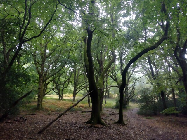
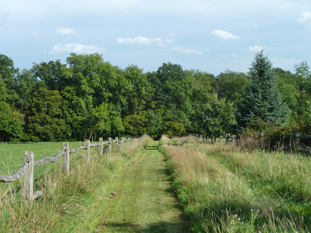
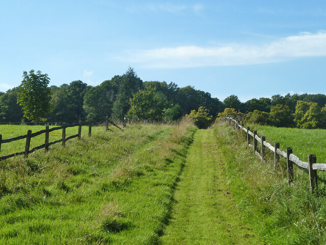
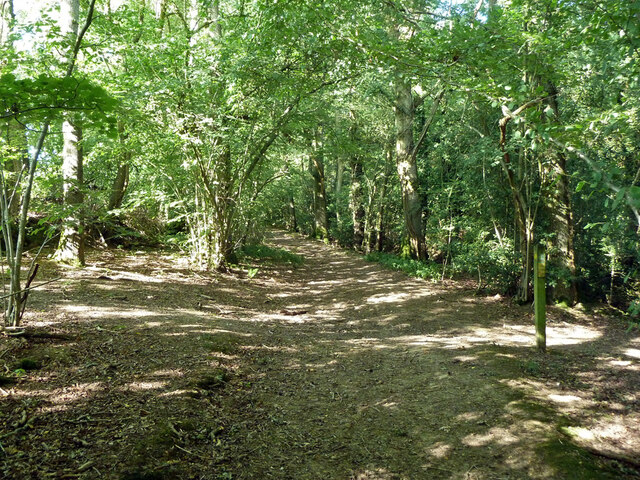
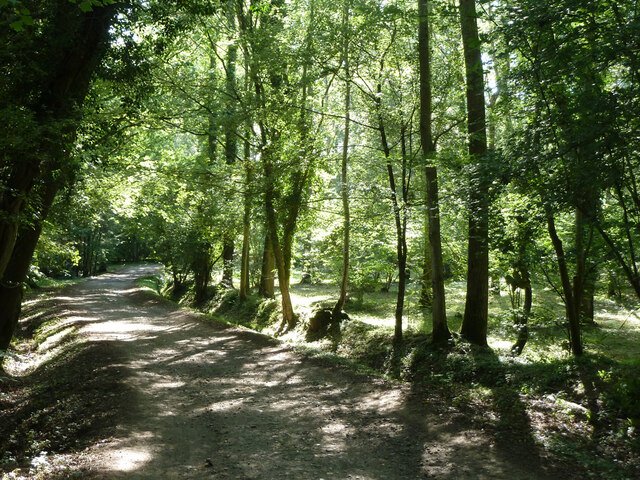
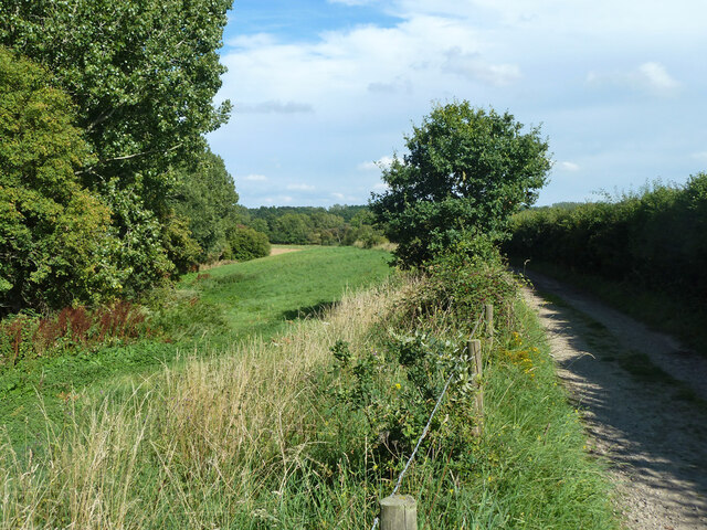
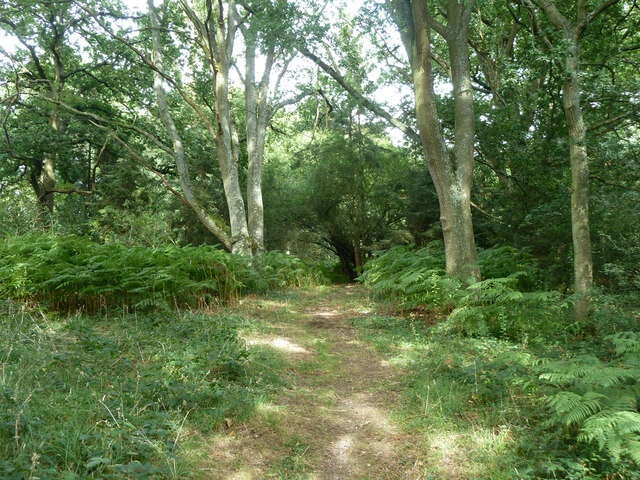
Arundel Holt, located in Sussex, England, is a picturesque woodland area that boasts an enchanting forest filled with diverse flora and fauna. Spread across a vast expanse, it offers a tranquil and serene escape from the bustling city life. The name "Arundel Holt" is derived from the Old English words "holt" meaning wood or forest, and "Arundel," the name of the nearby town.
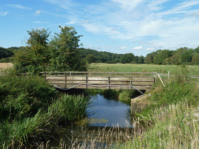
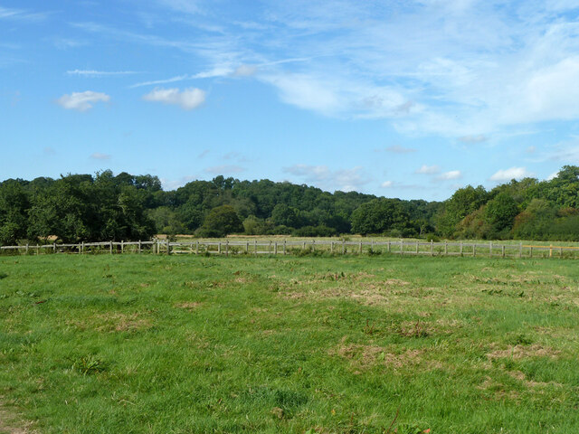
This woodland area is known for its rich biodiversity. The forest is home to a variety of native tree species, including oak, beech, and yew, which create a lush green canopy overhead. The forest floor is carpeted with an array of wildflowers and ferns, adding to its natural beauty. The dense foliage provides a haven for numerous wildlife species, such as deer, foxes, badgers, and a wide variety of bird species.
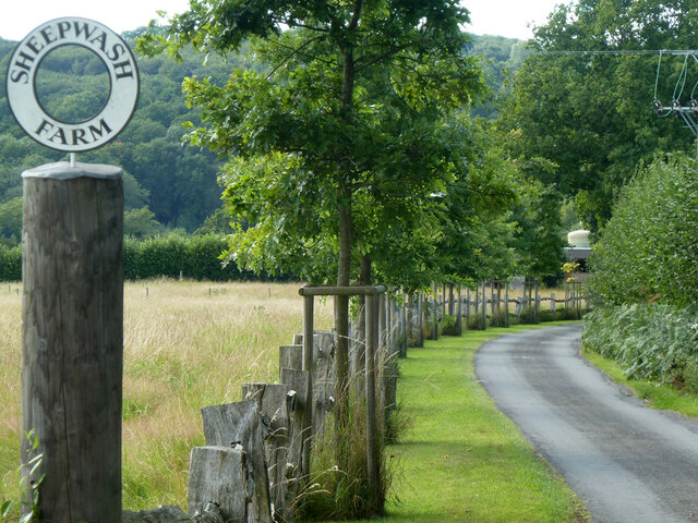
Arundel Holt is a popular destination for nature enthusiasts, hikers, and birdwatchers. The area offers numerous walking trails, allowing visitors to explore the forest and enjoy its peaceful surroundings. The trails wind through the trees, offering glimpses of small streams and ponds that further enhance the natural charm of the area.
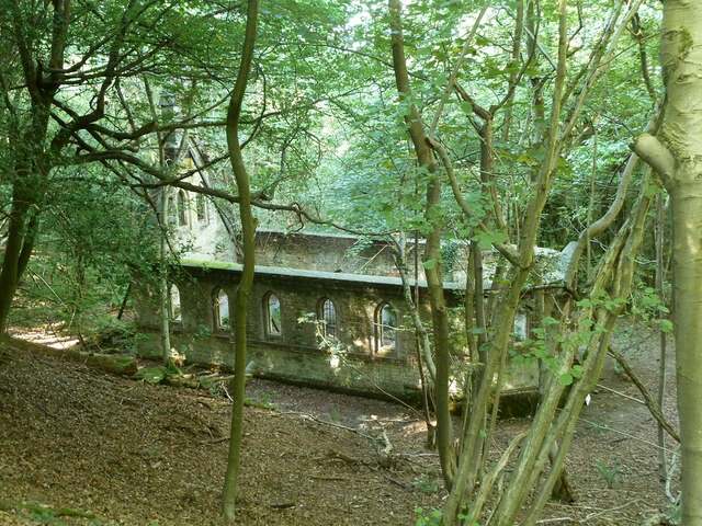
In addition to its natural beauty, Arundel Holt is also steeped in history. The woodland has been a part of the landscape for centuries, and remnants of ancient settlements and historical landmarks can be found within its boundaries. The area has been protected and preserved, ensuring that future generations can continue to enjoy its beauty and significance. Overall, Arundel Holt in Sussex is a haven for nature lovers, offering a unique blend of natural beauty, biodiversity, and historical significance.
If you have any feedback on the listing, please let us know in the comments section below.
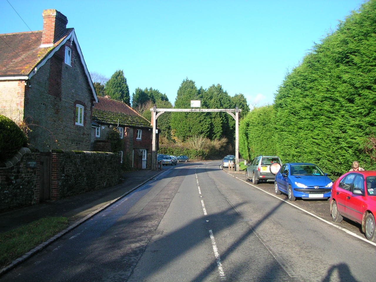
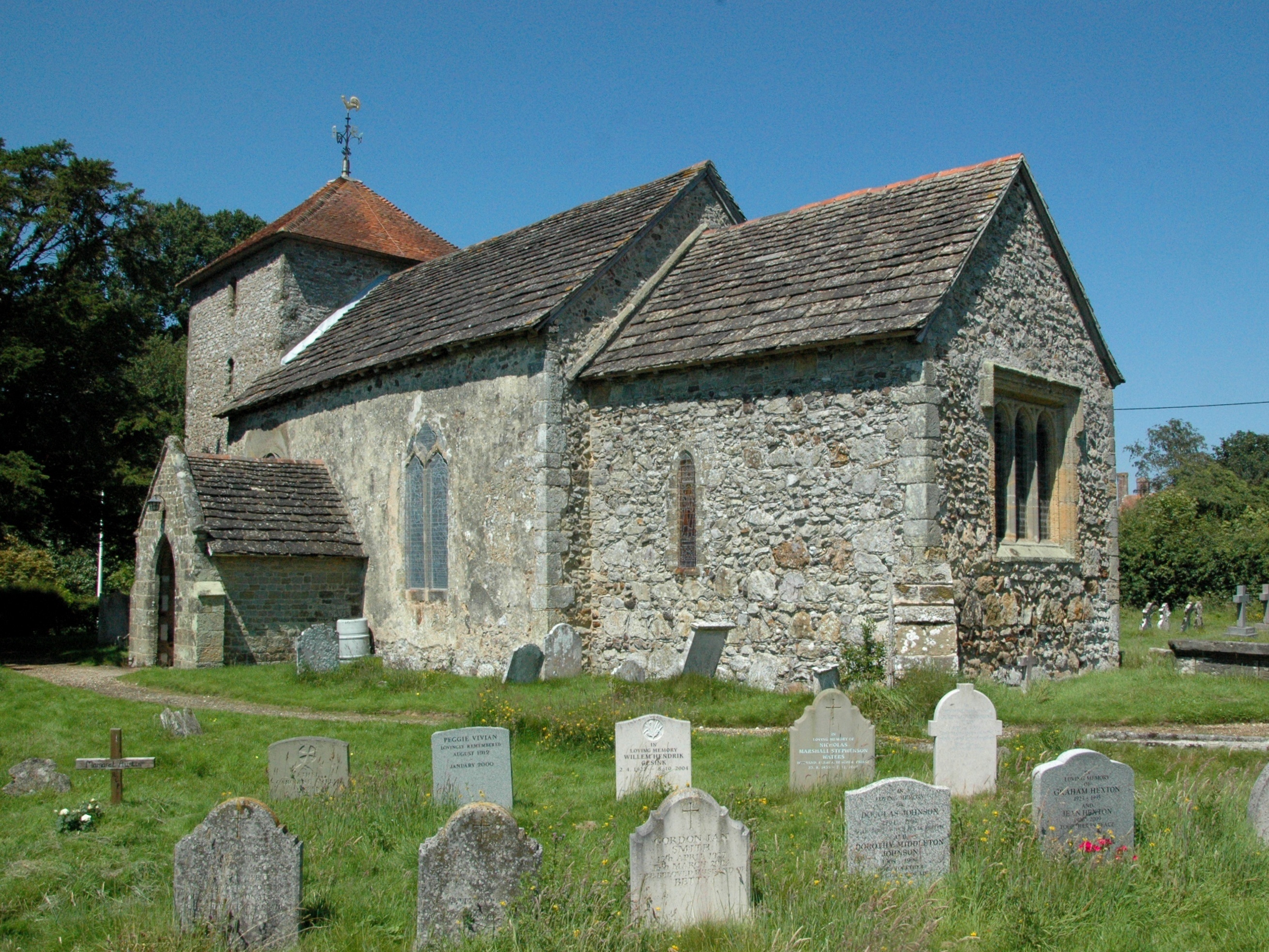
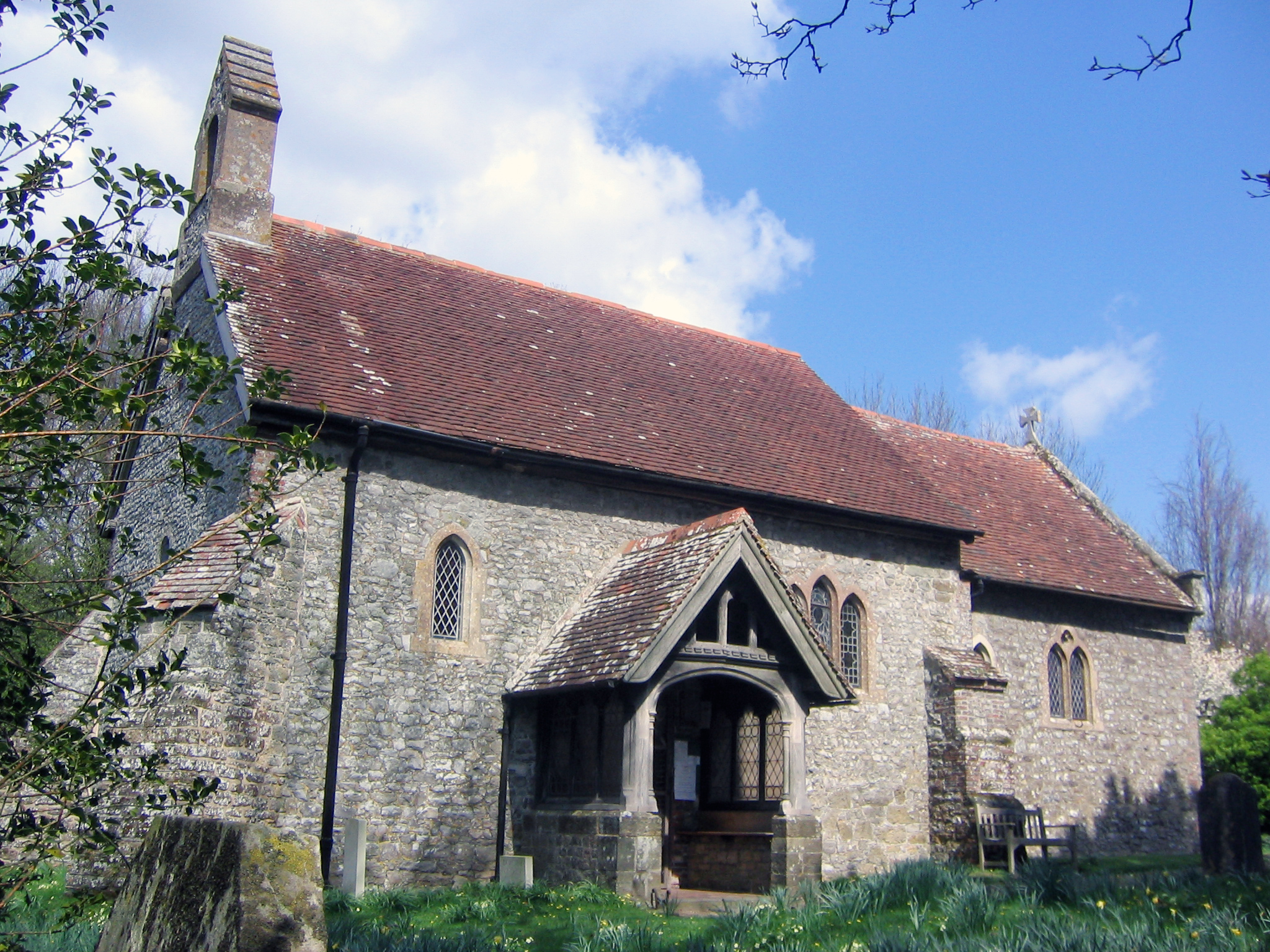
Arundel Holt Images
Images are sourced within 2km of 50.988518/-0.54376197 or Grid Reference TQ0222. Thanks to Geograph Open Source API. All images are credited.


Arundel Holt is located at Grid Ref: TQ0222 (Lat: 50.988518, Lng: -0.54376197)
Administrative County: West Sussex
District: Chichester
Police Authority: Sussex
What 3 Words
///overt.rushed.jots. Near Pulborough, West Sussex
Nearby Locations
Related Wikis

Bognor Common Quarry
Bognor Common Quarry is a 25.1-hectare (62-acre) geological Site of Special Scientific Interest east of Petworth in West Sussex. It is a Geological Conservation...

The Mens
The Mens is a 205.2-hectare (507-acre) biological Site of Special Scientific Interest west of Billingshurst in West Sussex. It is a Nature Conservation...

Upper Arun
Upper Arun is a 17.6-hectare (43-acre) biological Site of Special Scientific Interest between Billingshurst and Pulborough in West Sussex.This 13-kilometre...

Bedham
Bedham is a hamlet 4 kilometres (2+1⁄2 miles) east of Petworth in the Chichester District of West Sussex, England. It is in the civil parish of Wisborough...
Fittleworth
Fittleworth is a village and civil parish in the District of Chichester in West Sussex, England located seven kilometres (3 miles) west from Pulborough...
Stopham
Stopham is a hamlet and civil parish in the District of Chichester in West Sussex, England, about 1.5 miles (2.4 km) west of Pulborough on the A283 road...
Egdean
Egdean (pronounced Egg-deen) is a small village in the Chichester district of West Sussex, England. It lies just off the A283 road 1.7 miles (2.8 km) southeast...

Park Farm Cutting
Park Farm Cutting is a 0.2-hectare (0.49-acre) geological Site of Special Scientific Interest west of Pulborough in West Sussex. It is a Geological Conservation...
Nearby Amenities
Located within 500m of 50.988518,-0.54376197Have you been to Arundel Holt?
Leave your review of Arundel Holt below (or comments, questions and feedback).