Hammonds Wood
Wood, Forest in Sussex Chichester
England
Hammonds Wood
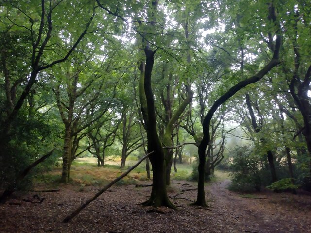
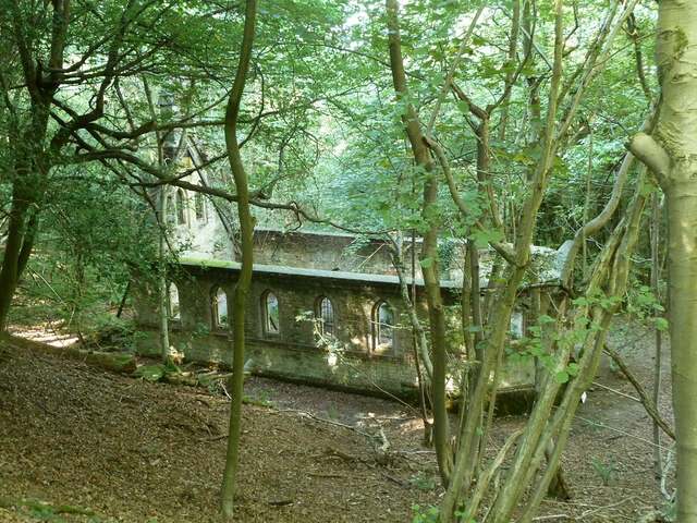
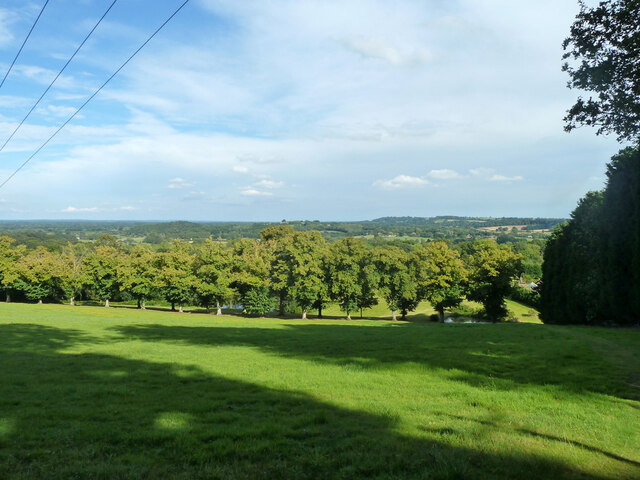
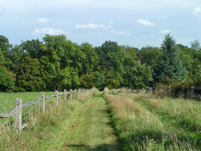
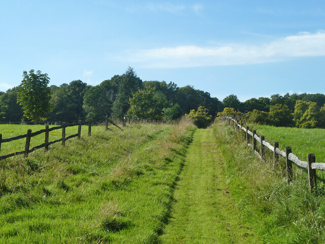
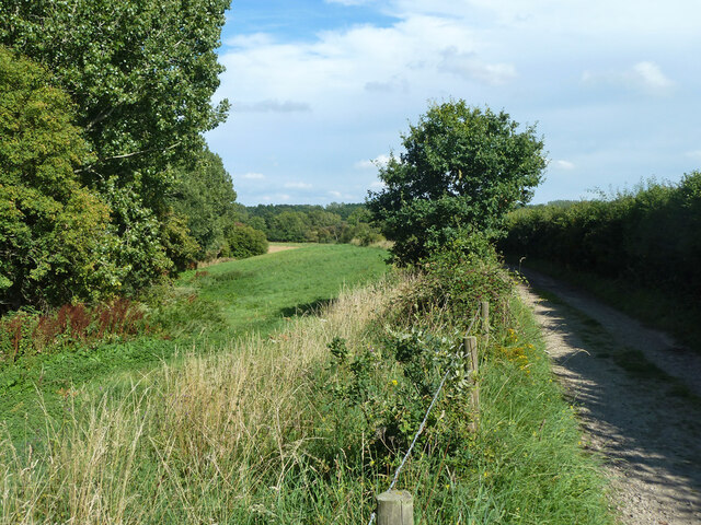
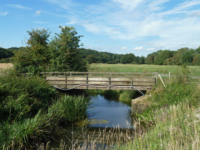
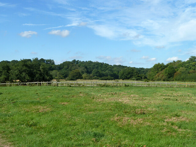
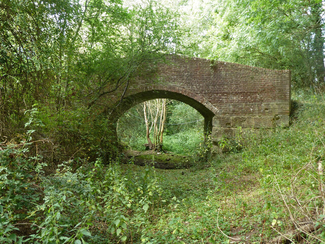
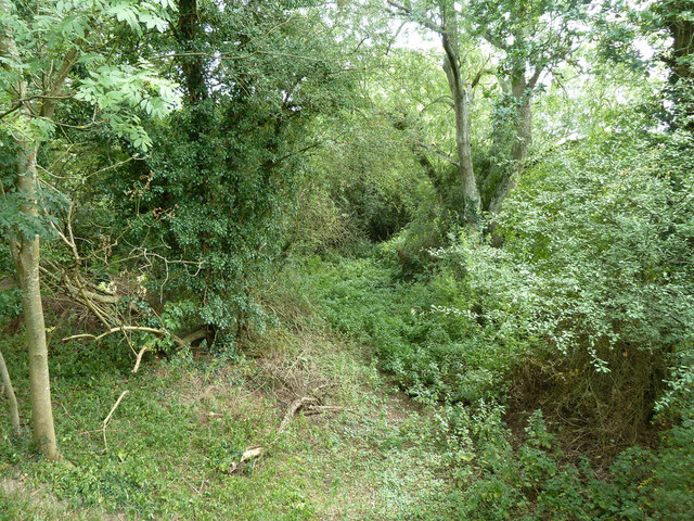
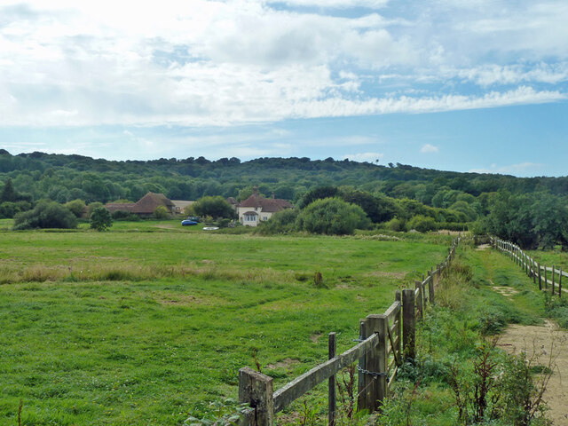
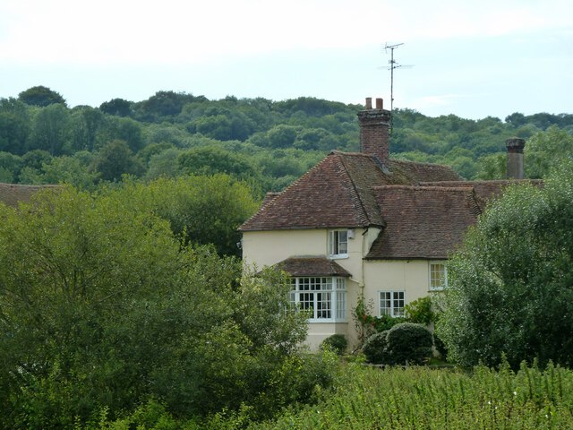
Hammonds Wood is a picturesque forest located in the county of Sussex, England. It covers an area of approximately 500 acres and is known for its natural beauty and diverse wildlife. The wood is situated near the village of Hammonds, hence its name.
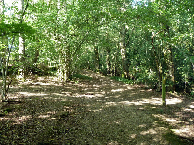
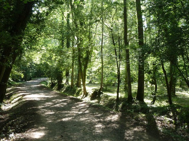
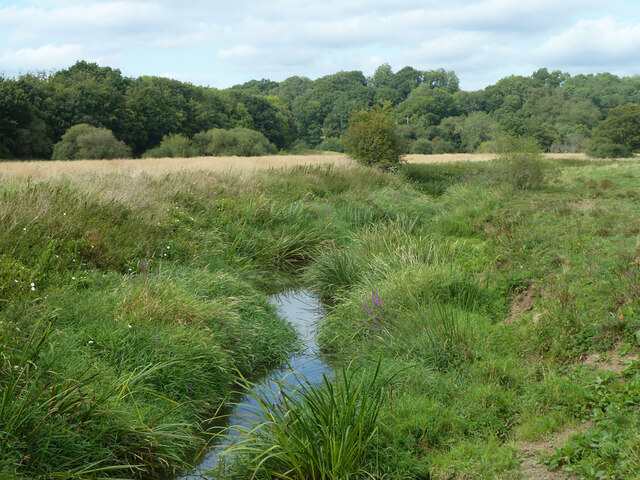
The forest is primarily composed of broadleaf trees such as oak, beech, and ash, creating a dense and lush canopy that provides a habitat for a wide variety of plant and animal species. The woodland floor is covered with a rich carpet of ferns, bluebells, and other wildflowers, enhancing the area's aesthetic appeal.
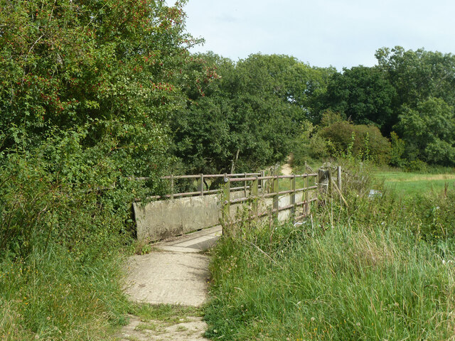
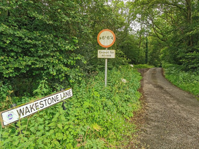
Hammonds Wood is a popular destination for nature enthusiasts and outdoor lovers who enjoy walking, hiking, and birdwatching. There are several well-maintained trails that wind through the forest, offering visitors the chance to explore its hidden treasures. The peaceful atmosphere and tranquil surroundings make it an ideal spot for people seeking solitude and relaxation.
The forest is also home to a diverse range of wildlife, including deer, foxes, badgers, and a multitude of bird species. Birdwatchers can spot woodpeckers, owls, and various songbirds in the woodland. The forest's secluded nature provides a safe haven for these animals and contributes to the preservation of their habitats.
Overall, Hammonds Wood in Sussex is a captivating natural environment that showcases the beauty of the English countryside. Its dense foliage, well-maintained trails, and diverse wildlife make it a must-visit destination for those seeking a peaceful retreat in nature.
If you have any feedback on the listing, please let us know in the comments section below.
Hammonds Wood Images
Images are sourced within 2km of 50.994984/-0.54450011 or Grid Reference TQ0222. Thanks to Geograph Open Source API. All images are credited.
Hammonds Wood is located at Grid Ref: TQ0222 (Lat: 50.994984, Lng: -0.54450011)
Administrative County: West Sussex
District: Chichester
Police Authority: Sussex
What 3 Words
///second.monkey.correctly. Near Pulborough, West Sussex
Nearby Locations
Related Wikis

The Mens
The Mens is a 205.2-hectare (507-acre) biological Site of Special Scientific Interest west of Billingshurst in West Sussex. It is a Nature Conservation...

Bognor Common Quarry
Bognor Common Quarry is a 25.1-hectare (62-acre) geological Site of Special Scientific Interest east of Petworth in West Sussex. It is a Geological Conservation...

Upper Arun
Upper Arun is a 17.6-hectare (43-acre) biological Site of Special Scientific Interest between Billingshurst and Pulborough in West Sussex.This 13-kilometre...

Bedham
Bedham is a hamlet 4 kilometres (2+1⁄2 miles) east of Petworth in the Chichester District of West Sussex, England. It is in the civil parish of Wisborough...
Fittleworth
Fittleworth is a village and civil parish in the District of Chichester in West Sussex, England located seven kilometres (3 miles) west from Pulborough...
Egdean
Egdean (pronounced Egg-deen) is a small village in the Chichester district of West Sussex, England. It lies just off the A283 road 1.7 miles (2.8 km) southeast...

River Kird
The River Kird is a river located in the Chichester District of West Sussex, England that is a tributary to the River Arun. It is located in South Downs...
Stopham
Stopham is a hamlet and civil parish in the District of Chichester in West Sussex, England, about 1.5 miles (2.4 km) west of Pulborough on the A283 road...
Nearby Amenities
Located within 500m of 50.994984,-0.54450011Have you been to Hammonds Wood?
Leave your review of Hammonds Wood below (or comments, questions and feedback).