Badland Hanger
Wood, Forest in Sussex Chichester
England
Badland Hanger
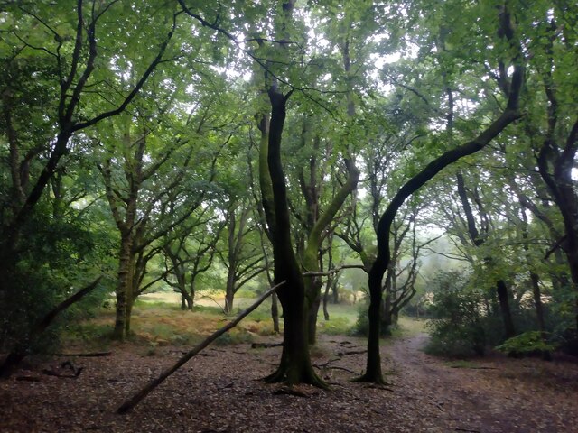
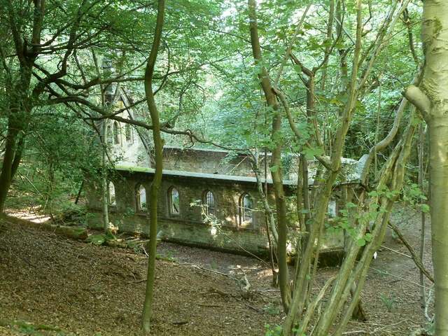
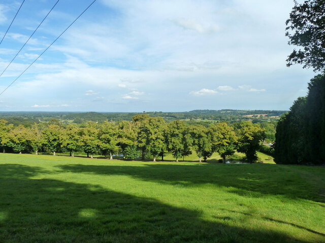
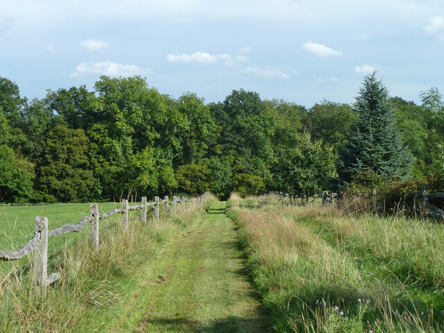
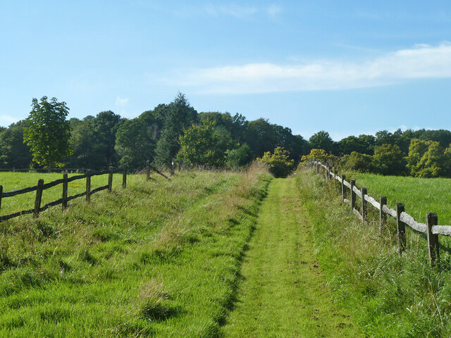
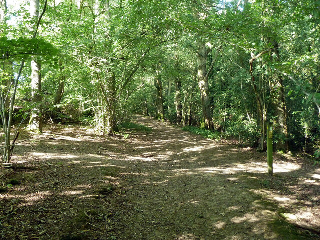
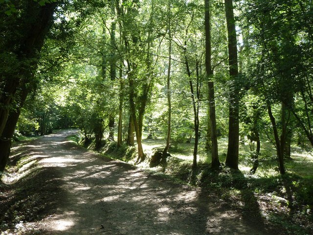
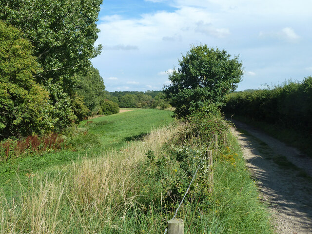
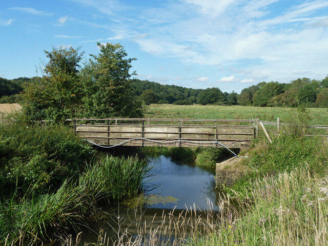
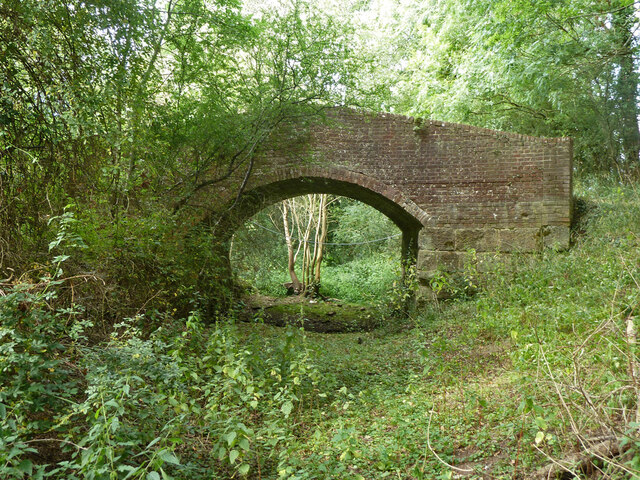
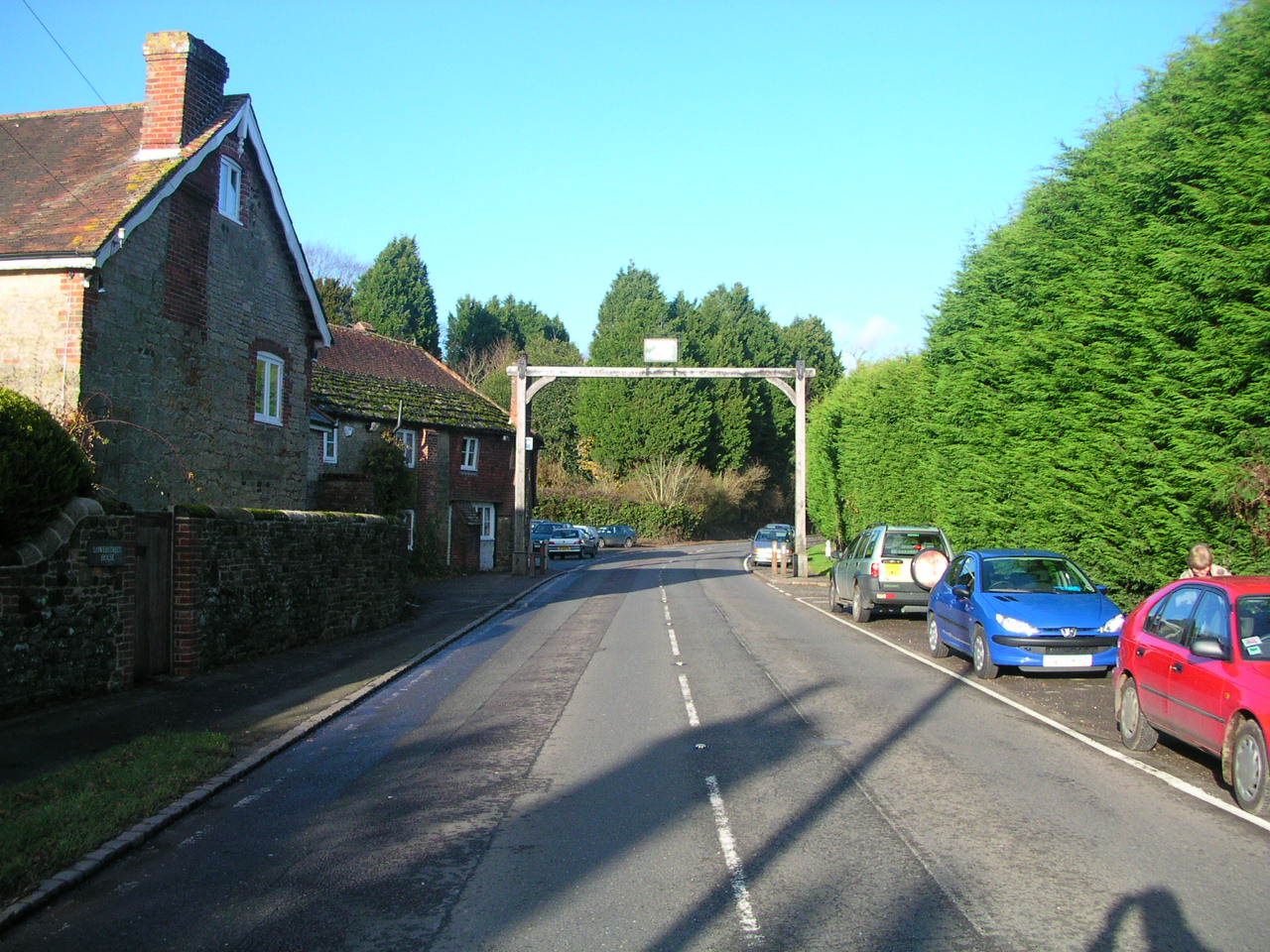
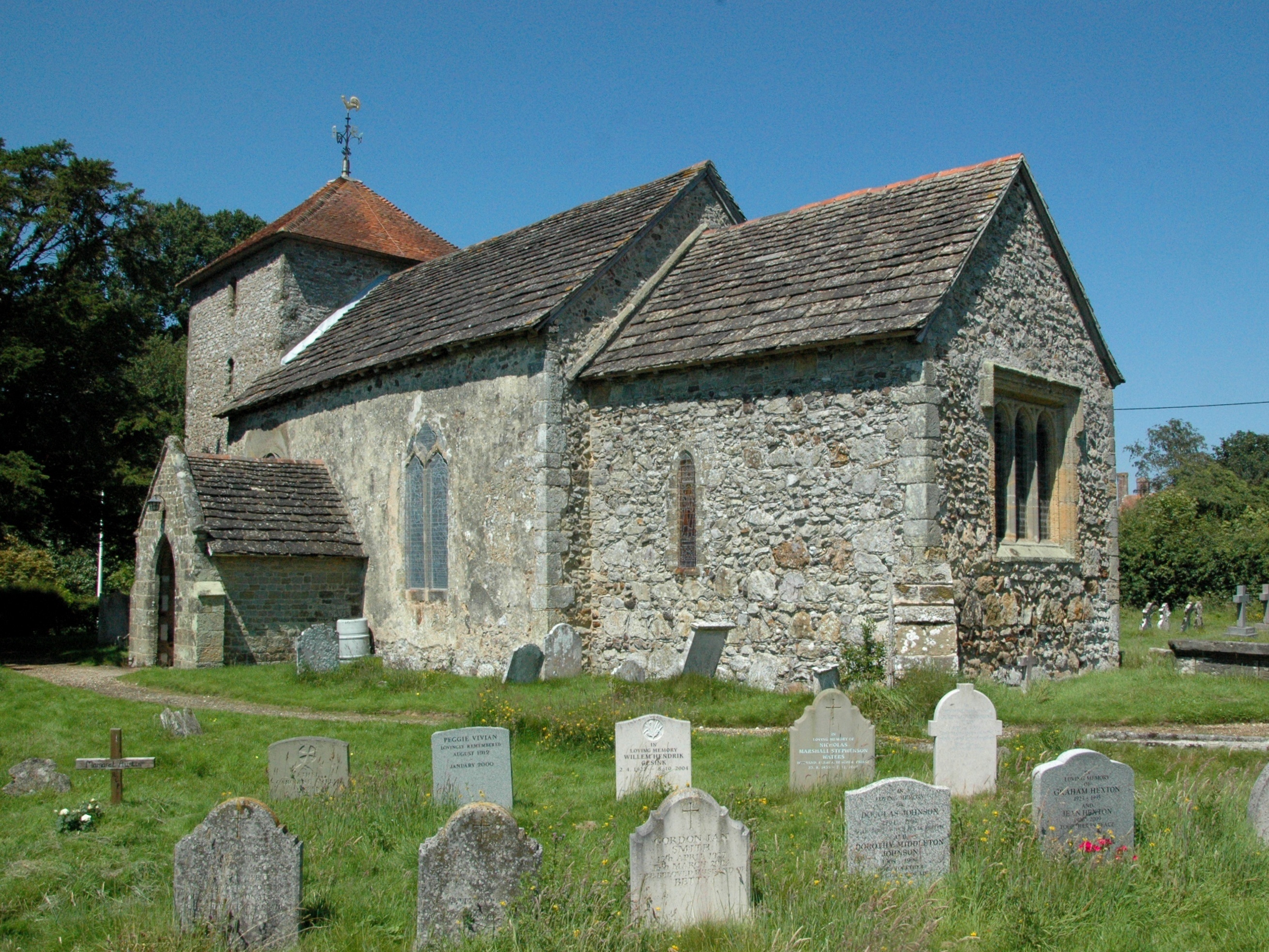
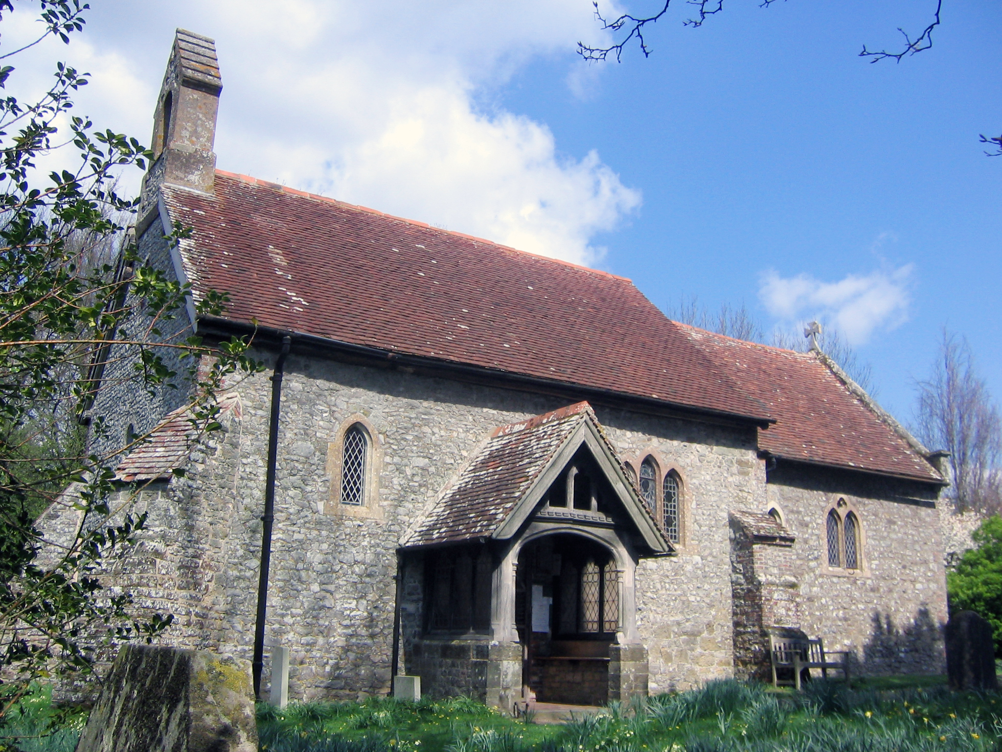
Badland Hanger, located in Sussex, England, is a picturesque wood and forest area renowned for its natural beauty and diverse wildlife. It covers an approximate area of 200 acres and is situated on the northern slopes of the South Downs, overlooking the scenic landscape of the Weald.
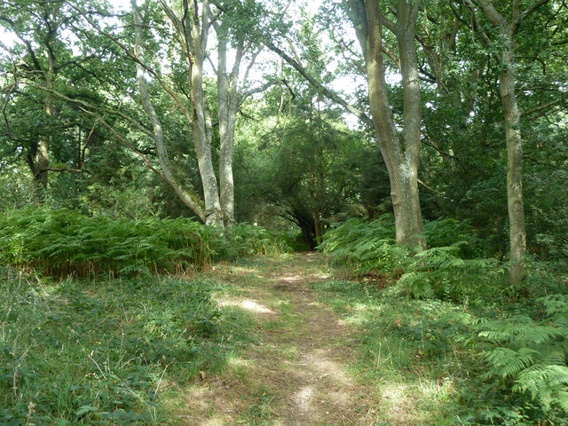
The woodland at Badland Hanger is primarily made up of native broadleaf trees such as oak, beech, and ash, creating a dense and enchanting canopy that provides shelter to a wide array of flora and fauna. Bluebells and wild garlic carpet the forest floor during the spring season, adding a vibrant burst of color to the surroundings.
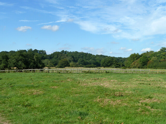
The forest is crisscrossed by a network of walking trails, allowing visitors to explore the area's natural wonders. These paths wind through the woodlands, leading to stunning viewpoints and secluded clearings. Along the way, visitors may encounter various species of birds, including woodpeckers, owls, and a variety of songbirds.
Badland Hanger is also home to a range of mammal species. Roe deer can often be spotted grazing in the clearings, while foxes and badgers are known to inhabit the area. The forest also offers a rich habitat for insects and invertebrates, contributing to the overall biodiversity of the region.
The wood is managed by local conservation organizations, ensuring that it remains a haven for wildlife and a place of natural beauty for visitors to enjoy. Additionally, educational programs and events are organized to promote awareness and appreciation of the area's ecological importance.
If you have any feedback on the listing, please let us know in the comments section below.
Badland Hanger Images
Images are sourced within 2km of 50.992345/-0.542716 or Grid Reference TQ0222. Thanks to Geograph Open Source API. All images are credited.


Badland Hanger is located at Grid Ref: TQ0222 (Lat: 50.992345, Lng: -0.542716)
Administrative County: West Sussex
District: Chichester
Police Authority: Sussex
What 3 Words
///seemingly.comedians.horizons. Near Pulborough, West Sussex
Nearby Locations
Related Wikis

The Mens
The Mens is a 205.2-hectare (507-acre) biological Site of Special Scientific Interest west of Billingshurst in West Sussex. It is a Nature Conservation...

Bognor Common Quarry
Bognor Common Quarry is a 25.1-hectare (62-acre) geological Site of Special Scientific Interest east of Petworth in West Sussex. It is a Geological Conservation...

Upper Arun
Upper Arun is a 17.6-hectare (43-acre) biological Site of Special Scientific Interest between Billingshurst and Pulborough in West Sussex.This 13-kilometre...

Bedham
Bedham is a hamlet 4 kilometres (2+1⁄2 miles) east of Petworth in the Chichester District of West Sussex, England. It is in the civil parish of Wisborough...
Fittleworth
Fittleworth is a village and civil parish in the District of Chichester in West Sussex, England located seven kilometres (3 miles) west from Pulborough...
Stopham
Stopham is a hamlet and civil parish in the District of Chichester in West Sussex, England, about 1.5 miles (2.4 km) west of Pulborough on the A283 road...
Egdean
Egdean (pronounced Egg-deen) is a small village in the Chichester district of West Sussex, England. It lies just off the A283 road 1.7 miles (2.8 km) southeast...

River Kird
The River Kird is a river located in the Chichester District of West Sussex, England that is a tributary to the River Arun. It is located in South Downs...
Nearby Amenities
Located within 500m of 50.992345,-0.542716Have you been to Badland Hanger?
Leave your review of Badland Hanger below (or comments, questions and feedback).