Tickner's Heath

Wood, Forest in Surrey Waverley

England

Tickner's Heath

Bungalows on Loxwood Road, Alfold Crossways
Bungalows on Loxwood Road, Alfold Crossways Credit: David Howard

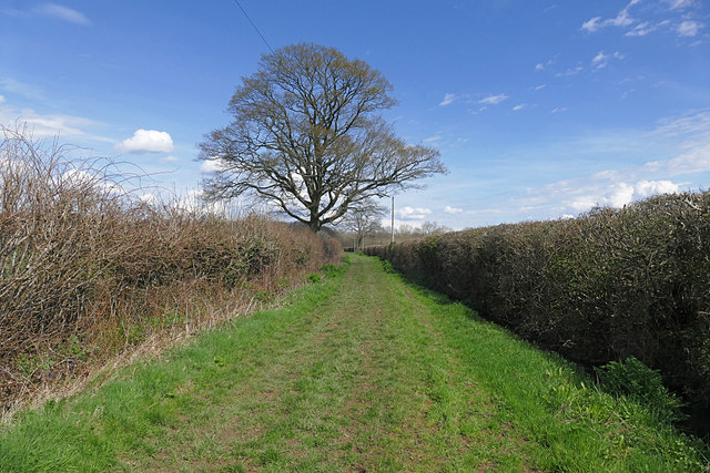
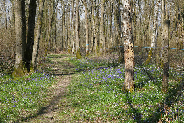
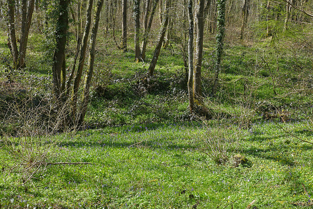
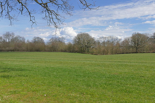
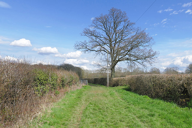
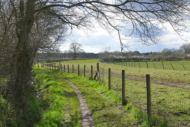
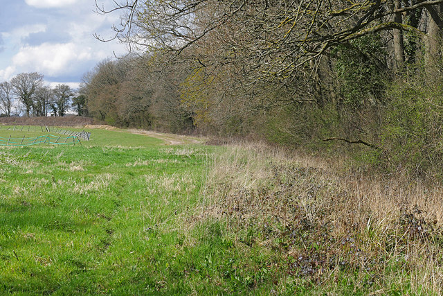
Tickner's Heath is a small woodland area located in Surrey, England. It is situated in the larger district of Wood, Forest, and is known for its natural beauty and tranquility. The woodland covers an area of approximately 50 acres and is predominantly made up of mature oak and beech trees, providing a dense and lush canopy.

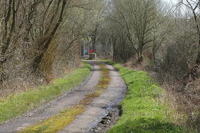
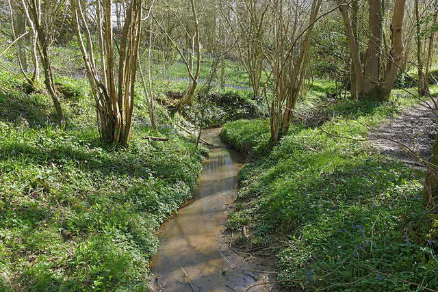
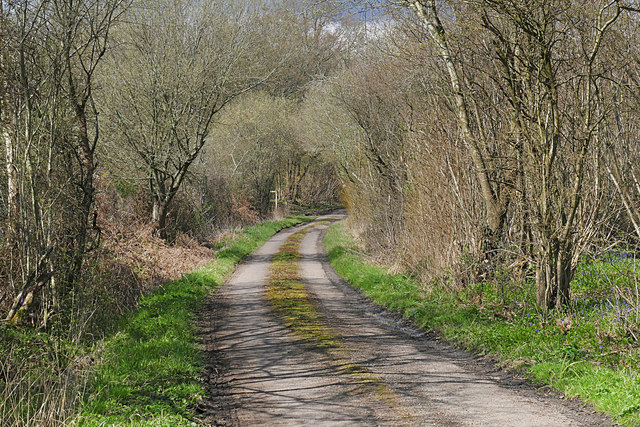
The heath is a popular spot for nature enthusiasts and hikers, offering a variety of walking trails that wind through the woodland. These trails provide opportunities for visitors to immerse themselves in the peaceful surroundings and observe the diverse flora and fauna that call Tickner's Heath home. The woodland is particularly renowned for its bluebells, which create a stunning carpet of vibrant color during the spring months.

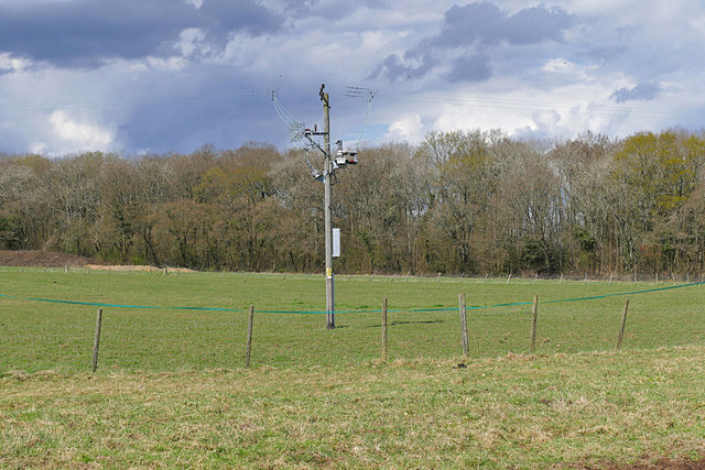
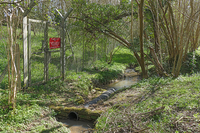
The diverse range of wildlife found in Tickner's Heath includes various bird species such as woodpeckers, jays, and thrushes. Small mammals like foxes, badgers, and squirrels can also be spotted within the woodland. The area is protected and managed by local conservation organizations, ensuring the preservation of its natural habitat.

Tickner's Heath also offers visitors a chance to engage in outdoor activities such as picnicking, photography, and nature study. The woodland provides a peaceful escape from the hustle and bustle of city life, attracting locals and tourists alike.

Overall, Tickner's Heath is a beautiful and serene woodland area in Surrey, offering a diverse range of flora and fauna, picturesque walking trails, and a peaceful environment for outdoor activities.

If you have any feedback on the listing, please let us know in the comments section below.

Tickner's Heath Images

Images are sourced within 2km of 51.106384/-0.5356332 or Grid Reference TQ0235. Thanks to Geograph Open Source API. All images are credited.

Bungalows on Loxwood Road, Alfold Crossways
Loxwood Road, Alfold Crossways
Footpath to High Loxley Road The footpath from Dunsfold Village to High Loxley Road.
Footpath to High Loxley Road
The footpath from Dunsfold Village to High Loxley Road.
Paddocks near Dunsfold An electricity pole in the paddocks near Dunsfold with Jewing's Hurst wood in the background.
Paddocks near Dunsfold
An electricity pole in the paddocks near Dunsfold with Jewing's Hurst wood in the background.
High Loxley Road Looking south towards the Dunsfold Airfield gate.
High Loxley Road
Looking south towards the Dunsfold Airfield gate.
Solar Farm near Dunsfold Airfield The solar farm north of Dunsfold Airfield.
Solar Farm near Dunsfold Airfield
The solar farm north of Dunsfold Airfield.
Sayer's Land near Dunsfold Sayer's Land woods carpeted with bluebells, wood anemones and celandine in the spring sunshine.
Sayer's Land near Dunsfold
Sayer's Land woods carpeted with bluebells, wood anemones and celandine in the spring sunshine.
Dunsfold Airfield gate The gate at the southern end of High Loxley Road.
Dunsfold Airfield gate
The gate at the southern end of High Loxley Road.
Path to High Loxley Road The footpath from Dunsfold to High Loxley Road with Jewing's Hurst woods ahead.
Path to High Loxley Road
The footpath from Dunsfold to High Loxley Road with Jewing's Hurst woods ahead.
Sayer's Land near Dunsfold Looking west across the stream in the dip which forms the boundary between Sayer's Land and Jewing's Hurst.
Sayer's Land near Dunsfold
Looking west across the stream in the dip which forms the boundary between Sayer's Land and Jewing's Hurst.
Fields near Dunsfold One of the fields to the south of the footpath from Dunsfold to High Loxley Road.
Fields near Dunsfold
One of the fields to the south of the footpath from Dunsfold to High Loxley Road.
Stream, Sayer's Land The stream marking the boundary between Sayer's Land on the right and Jewing's Hurst.
Stream, Sayer's Land
The stream marking the boundary between Sayer's Land on the right and Jewing's Hurst.
High Loxley Road, Dunsfold Looking north along the road from Dunsfold Airfield past High Loxley to Pratt's Corner.
High Loxley Road, Dunsfold
Looking north along the road from Dunsfold Airfield past High Loxley to Pratt's Corner.
Dunsfold Airfield gate The disused gate in Sayer's Land marking the boundary of Dunsfold Airfield.
Dunsfold Airfield gate
The disused gate in Sayer's Land marking the boundary of Dunsfold Airfield.
Footpath near Dunsfold The footpath from Dunsfold to the High Loxley Road.
Footpath near Dunsfold
The footpath from Dunsfold to the High Loxley Road.
Paddocks near Dunsfold The paddocks of New Pound Farm near Dunsfold.
Paddocks near Dunsfold
The paddocks of New Pound Farm near Dunsfold.
Wood edge near Dunsfold The western edge of Jewing's Hurst giving way to the paddocks of New Pound Farm between Dunsfold and High Loxley.
Wood edge near Dunsfold
The western edge of Jewing's Hurst giving way to the paddocks of New Pound Farm between Dunsfold and High Loxley.
Sidney Wood car park The entrance to the car park in Sidney Wood, part of the Forest Enterprise Chiddingfold Forest complex.
Sidney Wood car park
The entrance to the car park in Sidney Wood, part of the Forest Enterprise Chiddingfold Forest complex.
Show me another place!

Tickner's Heath is located at Grid Ref: TQ0235 (Lat: 51.106384, Lng: -0.5356332)

Administrative County: Surrey

District: Waverley

Police Authority: Surrey

What 3 Words

///student.longingly.husbands. Near Cranleigh, Surrey

Related Wikis

Fir Tree Copse

Fir Tree Copse is a 6-hectare (15-acre) nature reserve south-east of Dunsfold in Surrey. It is managed by the Surrey Wildlife Trust and is part of the...

Dunsfold Aerodrome

Dunsfold Aerodrome (former ICAO code EGTD) is an unlicensed airfield in Surrey, England, near the village of Cranleigh. It extends across land in the villages...

Top Gear test track

The Top Gear test track is used by the BBC automotive television programme Top Gear. It is located at Dunsfold Aerodrome in Surrey, United Kingdom. The...

Alfold F.C.

Alfold Football Club is a football club based in Alfold, Surrey, England. They are currently members of the Southern Combination Division One and play...

Wey and Arun Canal

The Wey and Arun Canal is a partially open, 23-mile-long (37 km) canal in the southeast of England. It runs southwards from the River Wey at Gunsmouth...

London to Portsmouth canal

The London to Portsmouth canal was a concept for the construction of a secure inland canal route from the British capital of London to the headquarters...

Alfold

Alfold is a village and civil parish in Surrey, England on the West Sussex border. Alfold is a dispersed or polyfocal village in the Green Belt, which...

Dunsfold

Dunsfold is a village in the borough of Waverley, Surrey, England, 8.7 miles (14.0 kilometres) south of Guildford. It lies in the Weald and reaches in...

Nearby Amenities

Located within 500m of 51.106384,-0.5356332
Fir Tree Copse
Leisure: nature_reserve
Wikidata: Q60255032
Wikipedia: en:Fir Tree Copse
Lat/Long: 51.105171/-0.5397268
Springbok-Radcliffe Estate
Place: locality
Lat/Long: 51.1050015/-0.5292382
The data included in this document is from www.openstreetmap.org. The data is made available under ODbL.

Have you been to Tickner's Heath?

Leave your review of Tickner's Heath below (or comments, questions and feedback).