Bracken Plantation

Wood, Forest in Lincolnshire South Kesteven

England

Bracken Plantation

Countryside at dusk
Countryside at dusk Credit: Bob Harvey

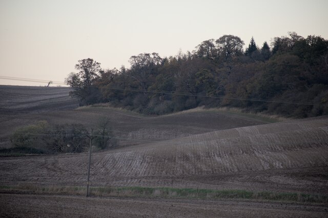
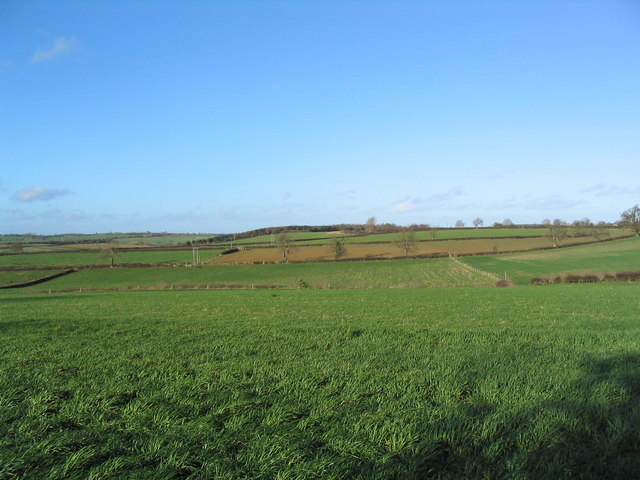
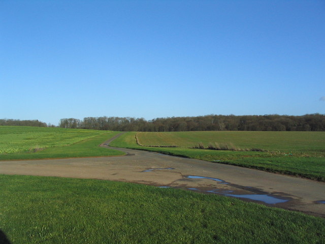
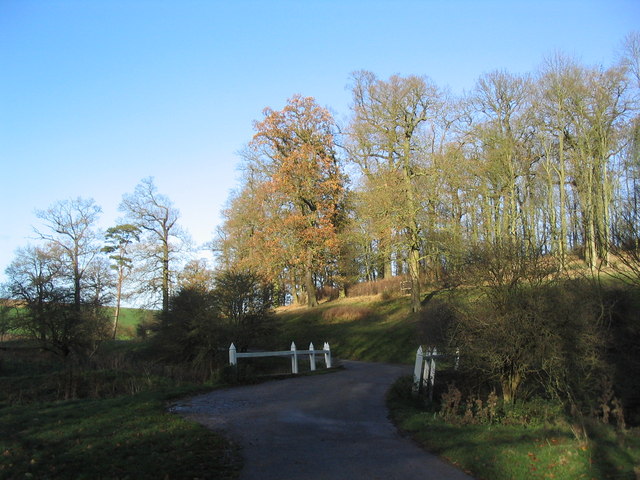
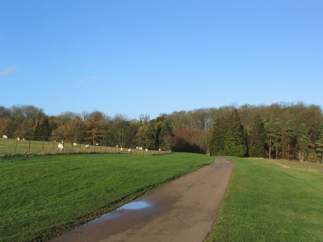
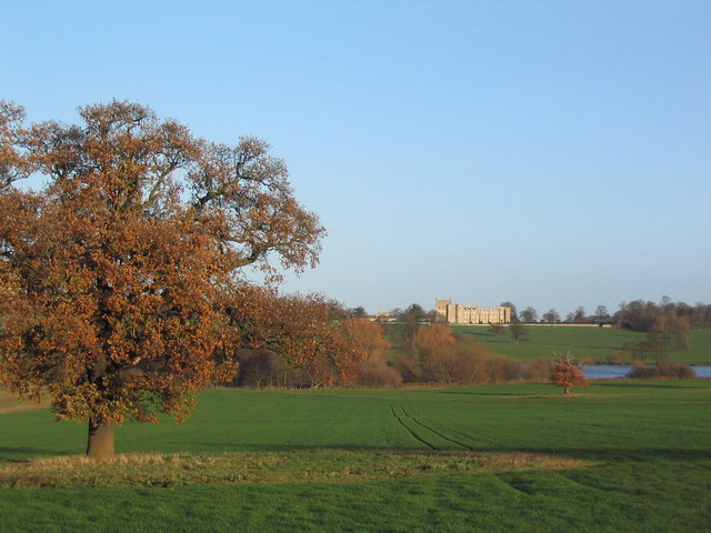
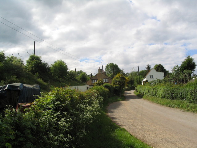
Bracken Plantation is a picturesque woodland located in Lincolnshire, England. Situated in the heart of the county, it covers an area of approximately 100 acres, making it a significant natural asset for the region. The plantation is primarily composed of bracken, a type of fern that thrives in the damp and shady conditions provided by the forest. The dense canopy of trees, including oak, beech, and birch, creates a tranquil and serene atmosphere, attracting nature enthusiasts, hikers, and wildlife enthusiasts alike.

The woodland is home to a diverse range of flora and fauna. Wildflowers such as bluebells and primroses carpet the forest floor during spring, creating a vibrant and colorful display. The dense undergrowth provides shelter and nesting sites for a variety of bird species, including woodpeckers, owls, and songbirds. Additionally, the woodland is inhabited by mammals such as deer, foxes, and squirrels, which can often be spotted by observant visitors.

Bracken Plantation offers a network of well-maintained walking trails, allowing visitors to explore the woodland at their leisure. The paths wind through the trees, providing glimpses of the surrounding countryside and offering a peaceful escape from the hustle and bustle of everyday life. The plantation is also equipped with picnic areas, making it an ideal spot for families and groups to enjoy a day out in nature.

Overall, Bracken Plantation is a cherished natural gem in Lincolnshire, providing an oasis of tranquility and biodiversity for locals and tourists alike.

If you have any feedback on the listing, please let us know in the comments section below.

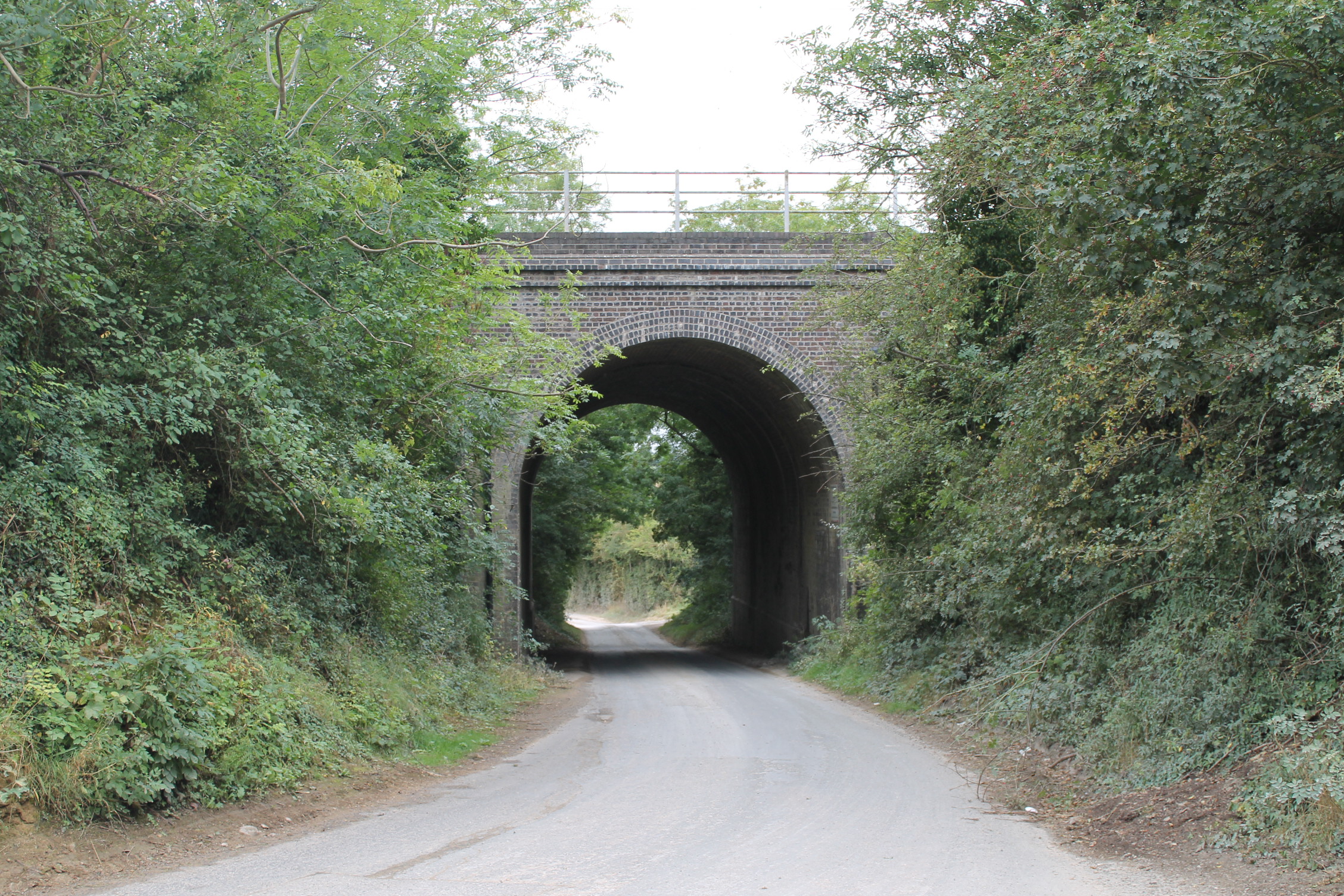
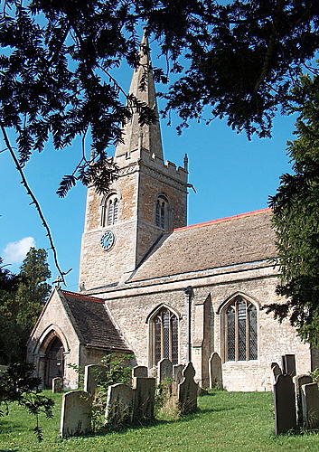
Bracken Plantation Images

Images are sourced within 2km of 52.772675/-0.48035123 or Grid Reference TF0220. Thanks to Geograph Open Source API. All images are credited.

Countryside at dusk
Countryside at dusk
Church of St Mary, Swinstead
Counthorpe The name 'Mallard Cottage' for the white building has nothing to do with birds. The East Coast Main Line runs along the embankment immediately opposite
Counthorpe
The name 'Mallard Cottage' for the white building has nothing to do with birds. The East Coast Main Line runs along the embankment immediately opposite
View north from near Scottlethorpe Grange The road to Scottlethorpe runs across a valley in the middle distance and (invisibly) through the woods on the horizon
View north from near Scottlethorpe Grange
The road to Scottlethorpe runs across a valley in the middle distance and (invisibly) through the woods on the horizon
Footbridge over the West Glen River View north, with Croakhill Plantation on the right. The footpath runs from The Drift (left) to Creeton Farm on the Creeton-Swinstead road (right)
Footbridge over the West Glen River
View north, with Croakhill Plantation on the right. The footpath runs from The Drift (left) to Creeton Farm on the Creeton-Swinstead road (right)
Creeton Farm
Creeton Farm
View north-west of TF0120 Showing most of square TF0120, with Croakhill Plantation in the distance. Taken from the footpath running east from Creeton toward Grimsthorpe Park, which cuts across the south-east corner of the square.
View north-west of TF0120
Showing most of square TF0120, with Croakhill Plantation in the distance. Taken from the footpath running east from Creeton toward Grimsthorpe Park, which cuts across the south-east corner of the square.
Swinstead Road, north of Creeton 'Spring Buildings Plantation' to the left of the road at the top of the hill.
Swinstead Road, north of Creeton
'Spring Buildings Plantation' to the left of the road at the top of the hill.
Mistletoe in lime trees; Steel's Riding, Grimsthorpe Park The track running west-east through the southern part of Grimsthorpe Park is lined with lime trees, heavily infested with mistletoe. The trees look rather sick - but I've only seen them in their leaf-free, winter months.
Mistletoe in lime trees; Steel's Riding, Grimsthorpe Park
The track running west-east through the southern part of Grimsthorpe Park is lined with lime trees, heavily infested with mistletoe. The trees look rather sick - but I've only seen them in their leaf-free, winter months.
Western end of 'Steel's Riding', Grimsthorpe Park With one of the many mistletoe-infested lime trees.
Western end of 'Steel's Riding', Grimsthorpe Park
With one of the many mistletoe-infested lime trees.
View north towards Park House, Grimsthorpe Park
Farm buildings, Grimsthorpe Park The track runs north-west towards Swinstead.
Farm buildings, Grimsthorpe Park
The track runs north-west towards Swinstead.
Road running east into Grimsthorpe Park Much of the central part of this large Park estate is farmed, but the remainder is attractive woodland.
Road running east into Grimsthorpe Park
Much of the central part of this large Park estate is farmed, but the remainder is attractive woodland.
Road junction, Grimsthorpe Park The main road through the Park. Running from Chestnut Avenue to the south (bottom right), towards the castle at the north end of the Park (top).
Road junction, Grimsthorpe Park
The main road through the Park. Running from Chestnut Avenue to the south (bottom right), towards the castle at the north end of the Park (top).
'Pots and Pans', Grimsthorpe Park Bumpy ground marking former quarry. Extraction of good quality limestone remains an important activity in the area.
'Pots and Pans', Grimsthorpe Park
Bumpy ground marking former quarry. Extraction of good quality limestone remains an important activity in the area.
Bridge leading to 'The Vaudey', Grimsthorpe Park The stream leaving from the lake south of Grimsthorpe Castle runs through a valley named 'Vallis Dei' (Valley of God, now 'Vaudey') by Cistercian monks who founded an abbey here in the 12th century.
Bridge leading to 'The Vaudey', Grimsthorpe Park
The stream leaving from the lake south of Grimsthorpe Castle runs through a valley named 'Vallis Dei' (Valley of God, now 'Vaudey') by Cistercian monks who founded an abbey here in the 12th century.
Grimsthorpe Park
Grimsthorpe Park
Grimsthorpe Park; view to the Castle from the south-west
Show me another place!

Bracken Plantation is located at Grid Ref: TF0220 (Lat: 52.772675, Lng: -0.48035123)

Administrative County: Lincolnshire

District: South Kesteven

Police Authority: Lincolnshire

What 3 Words

///hobble.emperor.glossed. Near Corby Glen, Lincolnshire

Related Wikis

Counthorpe

Counthorpe is a hamlet in the civil parish of Counthorpe and Creeton in the South Kesteven district of Lincolnshire, England. It adjoins the hamlet of...

Vaudey Abbey

Vaudey Abbey , also known as Vandy Abbey or Vandey Abbey, was an English Cistercian abbey. It was founded in 1147 by William, Count of Aumale, Earl of...

Creeton

Creeton is a hamlet in the civil parish of Counthorpe and Creeton in the South Kesteven district of Lincolnshire, England. It is situated 3 miles (5 km...

Counthorpe and Creeton

Counthorpe and Creeton is a civil parish in the South Kesteven district of Lincolnshire, England. According to the 2001 census it had a population of...

Swinstead

Swinstead is a village and civil parish in the South Kesteven district of Lincolnshire, England. It is situated 5 miles (8.0 km) west from Bourne, 9 miles...

South Kesteven Rural District

South Kesteven was a rural district in Lincolnshire, Parts of Kesteven in England from 1931 to 1974. It was formed under a County Review Order in 1931...

St Medardus and St Gildardus Church, Little Bytham

The church of St Medardus and St Gildardus in Little Bytham, Lincolnshire, England, is a Grade I listed building. It is dedicated to two 6th-century French...

Little Bytham

Little Bytham is a village and civil parish in the South Kesteven district of Lincolnshire, England. The population of the civil parish at the 2011 census...

Nearby Amenities

Located within 500m of 52.772675,-0.48035123
Grimsthorpe Park
Place: locality
Source: Bing
Lat/Long: 52.7716615/-0.473213
Park House
Place: isolated_dwelling
Source: Bing
Lat/Long: 52.7770741/-0.4800557
The data included in this document is from www.openstreetmap.org. The data is made available under ODbL.

Have you been to Bracken Plantation?

Leave your review of Bracken Plantation below (or comments, questions and feedback).