Top Spring
Wood, Forest in Hertfordshire Three Rivers
England
Top Spring
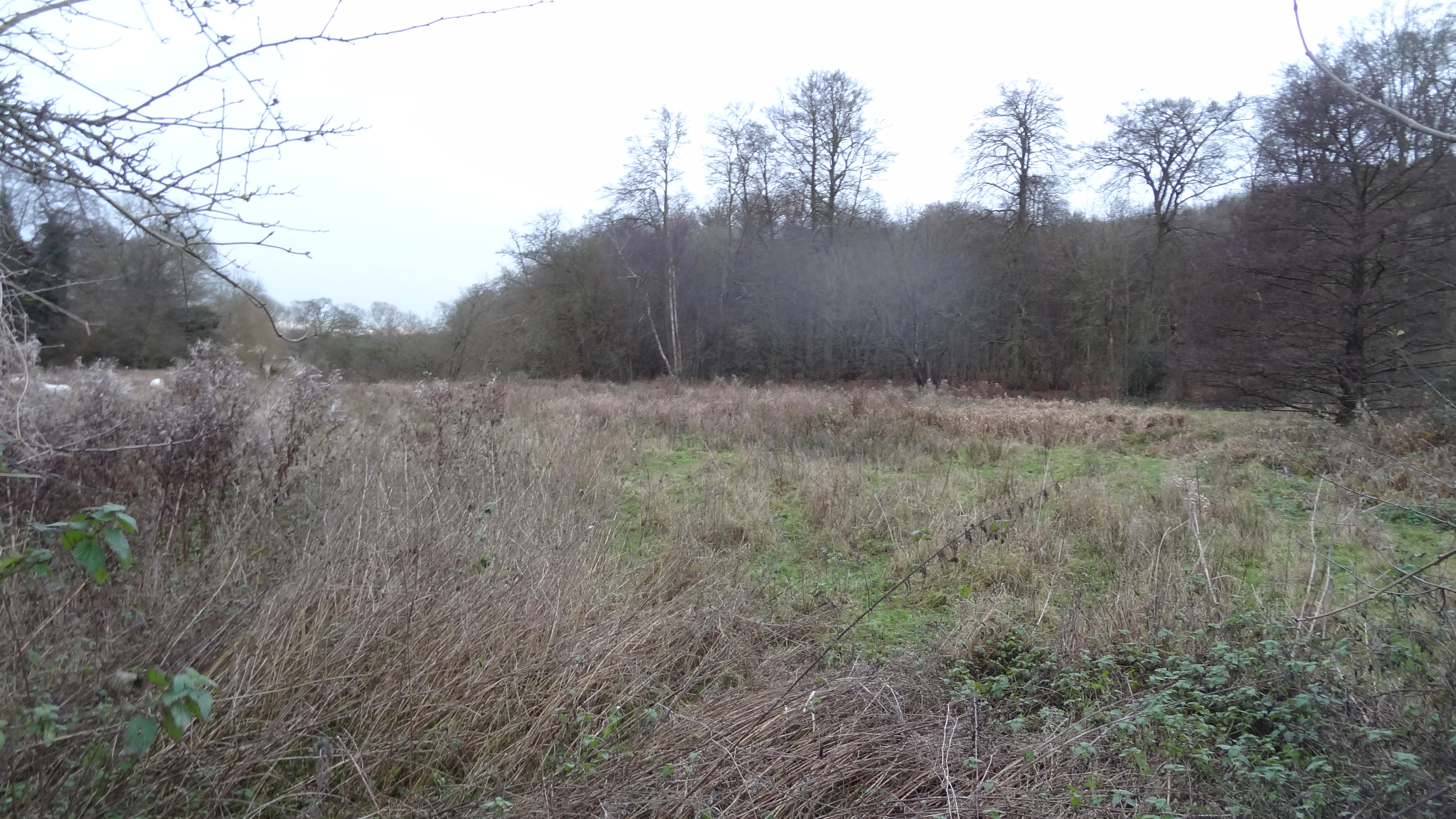
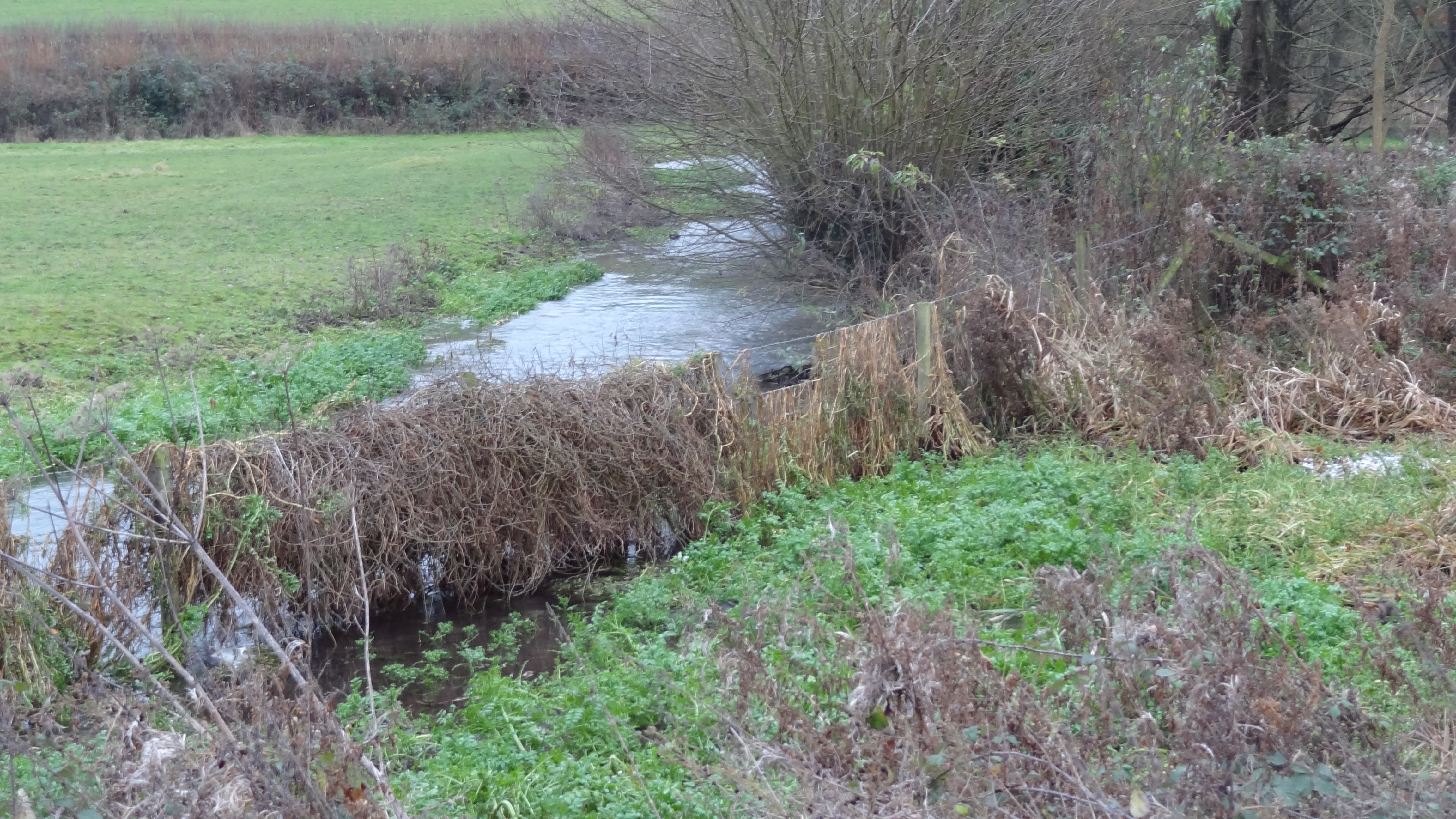
Located in the county of Hertfordshire, Top Spring is a charming woodland area known for its picturesque scenery and tranquil atmosphere. Situated near the town of Wood, Top Spring is surrounded by lush greenery and dense forest, making it a popular destination for nature enthusiasts and outdoor adventurers.
Covering an area of approximately 100 acres, Top Spring is home to a diverse range of plant and animal species. The forest is characterized by its towering oak and beech trees, which create a dense canopy and provide shelter for various wildlife, including deer, foxes, and a variety of bird species. The forest floor is adorned with an array of wildflowers and ferns, adding to the area's natural beauty.
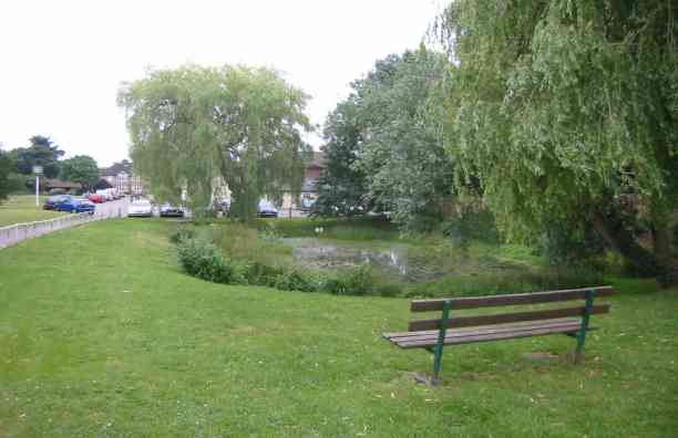
The woodland offers several walking trails and paths, allowing visitors to explore the area at their own pace. These trails wind through the forest, offering stunning views of the surrounding landscape and providing opportunities for birdwatching and wildlife spotting. Additionally, there are designated picnic spots and benches scattered throughout the forest, providing a perfect spot for visitors to relax and take in the peaceful ambiance.
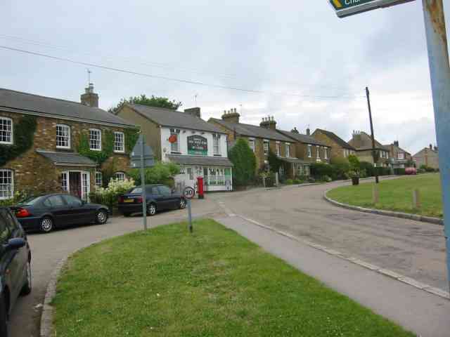
Top Spring is easily accessible, with ample parking facilities available nearby. The woodland is open to the public year-round, allowing visitors to enjoy its beauty during all seasons. Whether it's a leisurely stroll through the forest or a more adventurous hike, Top Spring offers a serene escape from the hustle and bustle of everyday life.
If you have any feedback on the listing, please let us know in the comments section below.
Top Spring Images
Images are sourced within 2km of 51.68925/-0.51668564 or Grid Reference TQ0299. Thanks to Geograph Open Source API. All images are credited.


Top Spring is located at Grid Ref: TQ0299 (Lat: 51.68925, Lng: -0.51668564)
Administrative County: Hertfordshire
District: Three Rivers
Police Authority: Hertfordshire
What 3 Words
///ruby.appeal.income. Near Bovingdon, Hertfordshire
Nearby Locations
Related Wikis
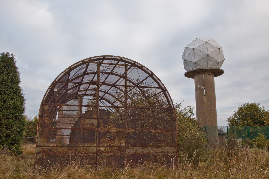
RAF Chenies
RAF Chenies is a former Royal Air Force radar intercept station located 1.4 miles (2.3 km) North of the village of Chenies in Buckinghamshire, built in...
Sarratt Bottom nature reserve
Sarratt Bottom nature Reserve in Hertfordshire is a 3.2-hectare (7.9-acre) biological Site of Special Scientific Interest. The site is a meadow beside...
Frogmore Meadows
Frogmore Meadows is a 4.6-hectare (11-acre) biological Site of Special Scientific Interest in Hertfordshire and Buckinghamshire, north of the village of...

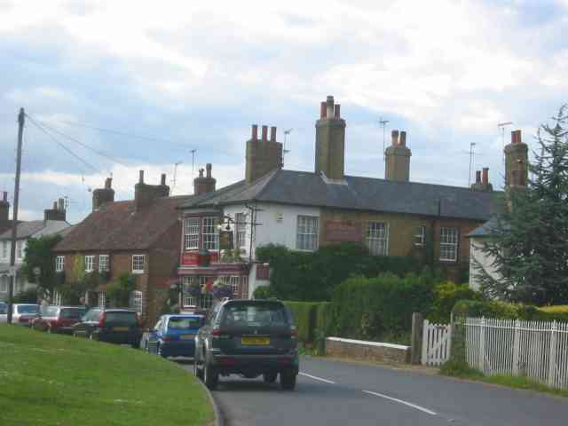
Belsize, Hertfordshire
Belsize is a hamlet in Sarratt civil parish, Three Rivers District, Hertfordshire, England, situated less than a mile from Chipperfield and Sarratt.Belsize...
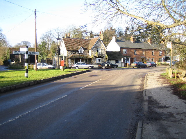
Flaunden
Flaunden is a village and a civil parish in Hertfordshire, England, close to the border with Buckinghamshire. Old Flaunden was on the banks of the River...
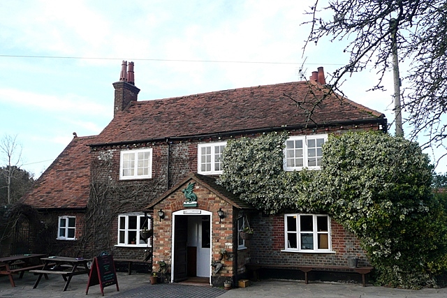
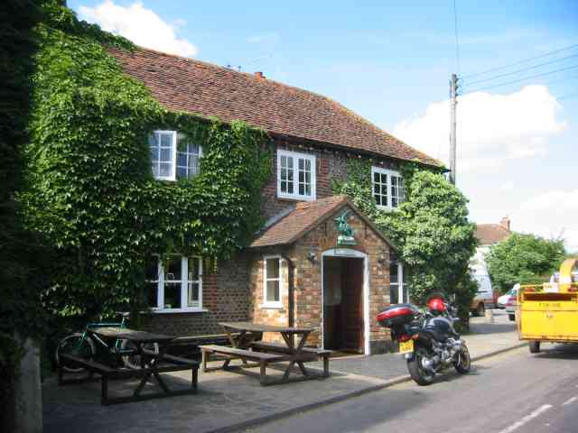
The Green Dragon, Flaunden
The Green Dragon is a Grade II listed public house in Flaunden, Hertfordshire, England. The rear wing, a timber-framed structure, is the oldest part of...
Chenies
Chenies is a village and civil parish in south-east Buckinghamshire, England. It is on the border with Hertfordshire, east of Amersham and north of Chorleywood...
St Michael's, Chenies
St Michael's Church at Chenies, Buckinghamshire, is a Grade I listed Anglican parish church in the Diocese of Oxford in England. It is not of great architectural...
Nearby Amenities
Located within 500m of 51.68925,-0.51668564Have you been to Top Spring?
Leave your review of Top Spring below (or comments, questions and feedback).