Bramble Croft
Wood, Forest in Hertfordshire Three Rivers
England
Bramble Croft

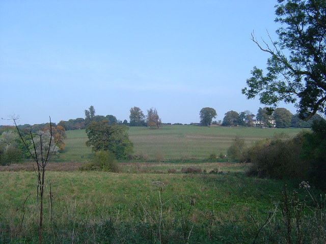
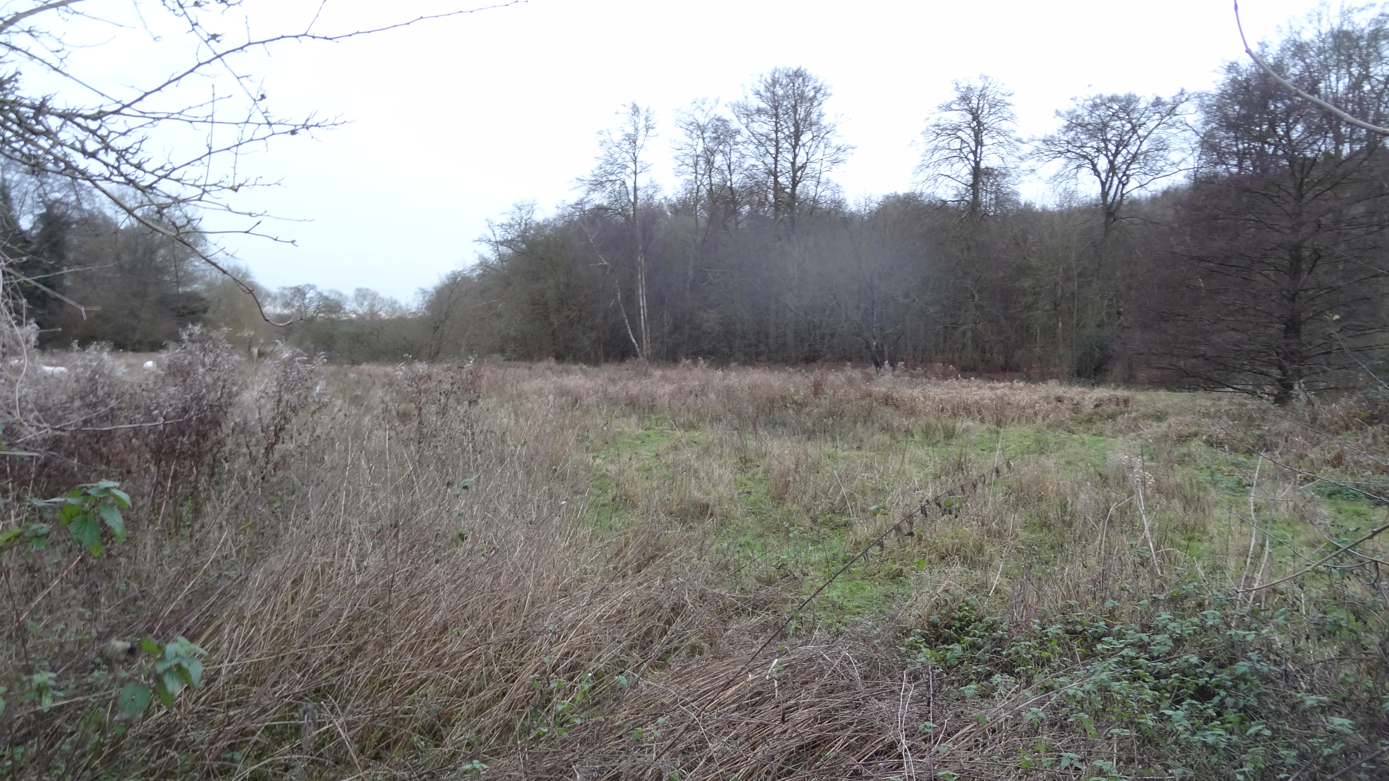
Located in Hertfordshire, England, Bramble Croft is a picturesque wood/forest area known for its natural beauty and tranquility. Spanning approximately 200 acres, it offers a diverse range of flora and fauna, making it a popular destination for nature enthusiasts and hikers alike.
The woodland is predominantly made up of towering oak and beech trees, creating a dense canopy that provides shelter and shade to the various wildlife species that call Bramble Croft home. Within this enchanting forest, visitors can expect to encounter an array of woodland creatures, including deer, foxes, badgers, and a multitude of bird species.
Numerous walking trails wind their way through the forest, offering visitors the opportunity to explore and immerse themselves in the breathtaking surroundings. These well-maintained paths cater to all levels of fitness, making it accessible for families and individuals of all ages.
Bramble Croft is also known for its vibrant wildflower displays, which carpet the forest floor during the spring and summer months. From bluebells to primroses, the woods are transformed into a kaleidoscope of colors, creating a truly magical atmosphere.
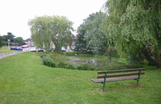
For those seeking a moment of tranquility, Bramble Croft provides several designated picnic areas and benches scattered throughout the wood. These idyllic spots allow visitors to relax and soak in the peaceful ambiance while enjoying a packed lunch or simply admiring the natural surroundings.
Overall, Bramble Croft is a hidden gem in Hertfordshire, offering visitors a chance to escape the hustle and bustle of everyday life and reconnect with nature in a stunning woodland setting.
If you have any feedback on the listing, please let us know in the comments section below.
Bramble Croft Images
Images are sourced within 2km of 51.685941/-0.5195279 or Grid Reference TQ0299. Thanks to Geograph Open Source API. All images are credited.


Bramble Croft is located at Grid Ref: TQ0299 (Lat: 51.685941, Lng: -0.5195279)
Administrative County: Hertfordshire
District: Three Rivers
Police Authority: Hertfordshire
What 3 Words
///define.shaped.army. Near Chorleywood, Hertfordshire
Nearby Locations
Related Wikis
Frogmore Meadows
Frogmore Meadows is a 4.6-hectare (11-acre) biological Site of Special Scientific Interest in Hertfordshire and Buckinghamshire, north of the village of...
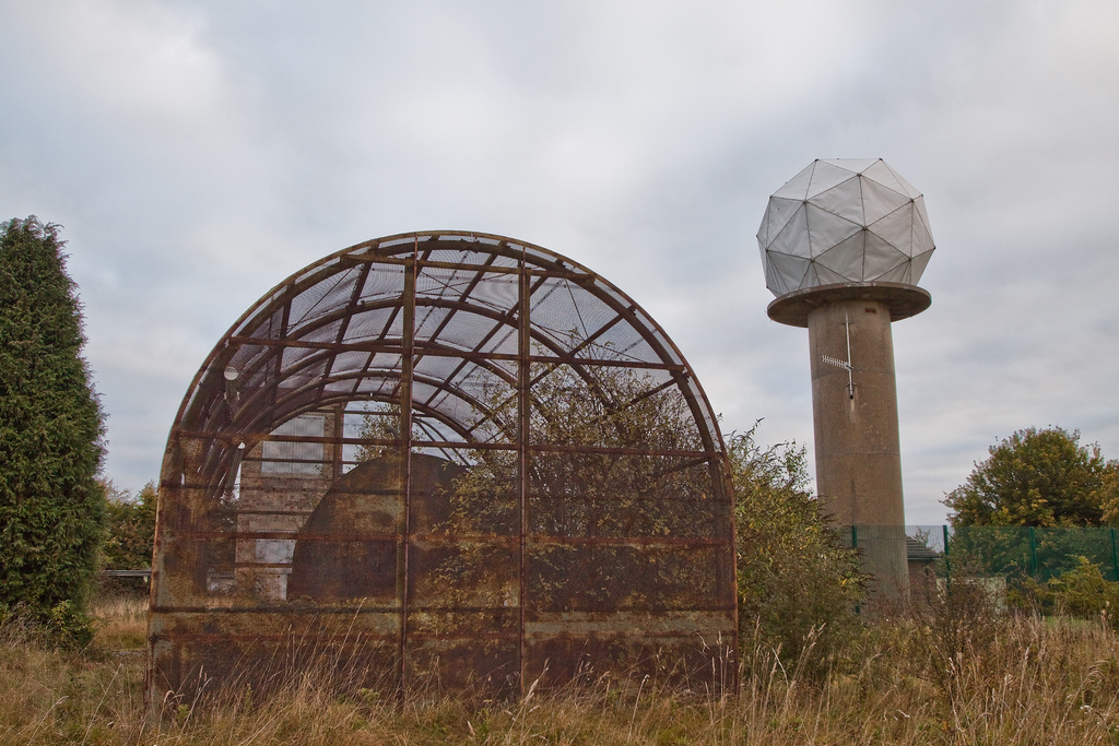
RAF Chenies
RAF Chenies is a former Royal Air Force radar intercept station located 1.4 miles (2.3 km) North of the village of Chenies in Buckinghamshire, built in...
Sarratt Bottom nature reserve
Sarratt Bottom nature Reserve in Hertfordshire is a 3.2-hectare (7.9-acre) biological Site of Special Scientific Interest. The site is a meadow beside...

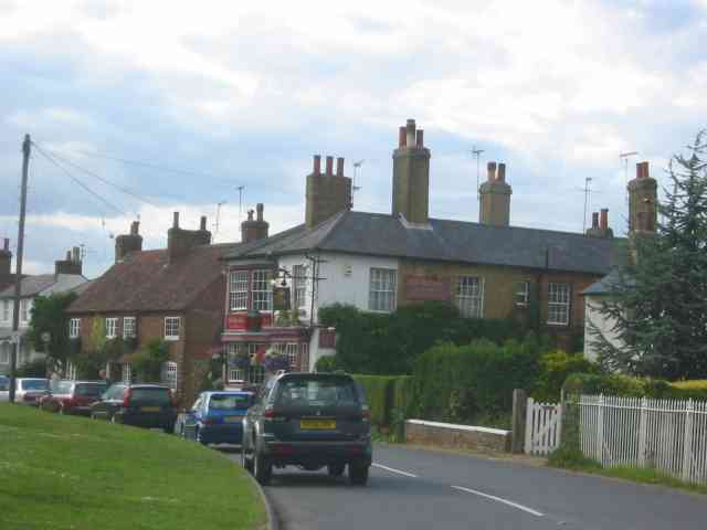
Chenies
Chenies is a village and civil parish in south-east Buckinghamshire, England. It is on the border with Hertfordshire, east of Amersham and north of Chorleywood...
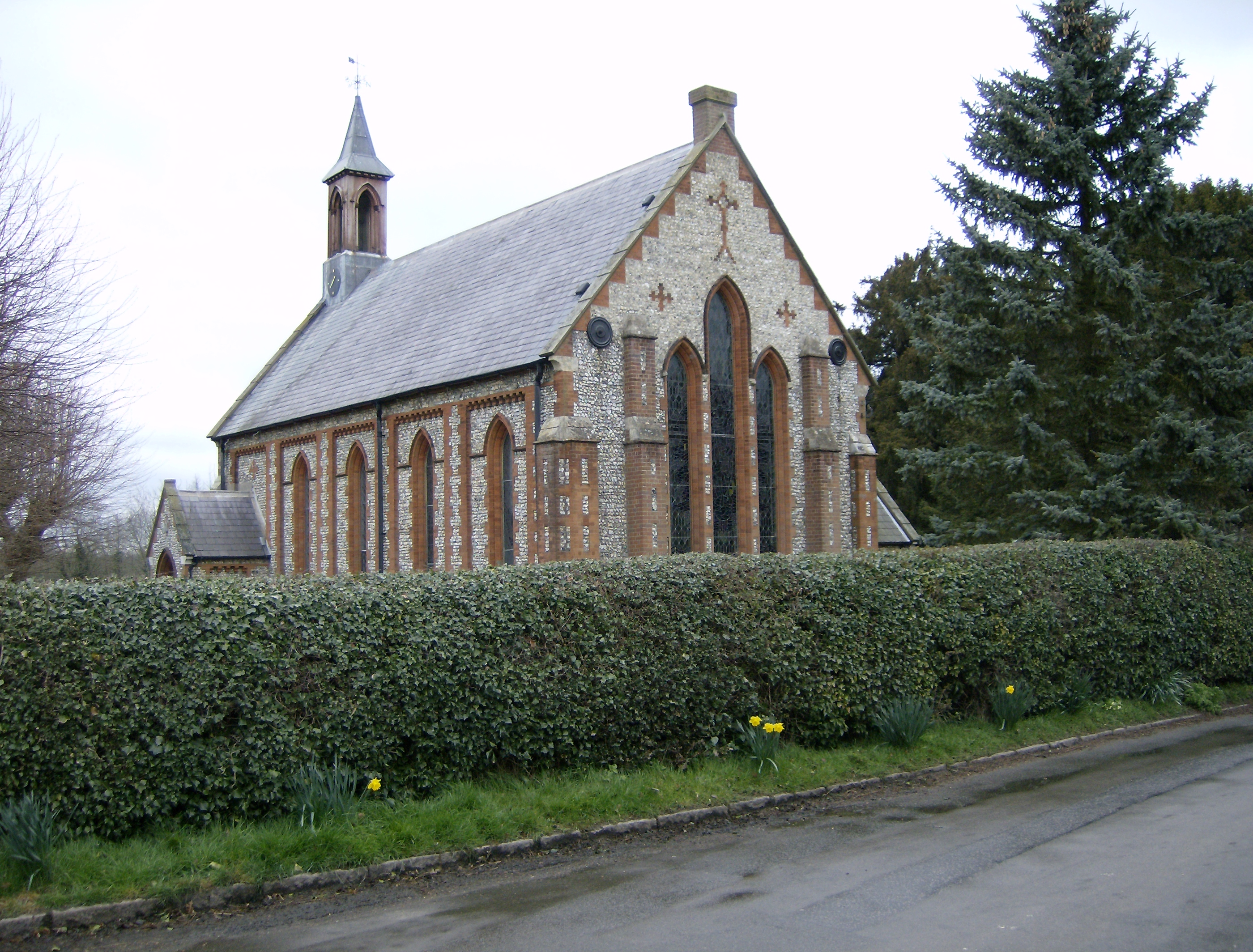
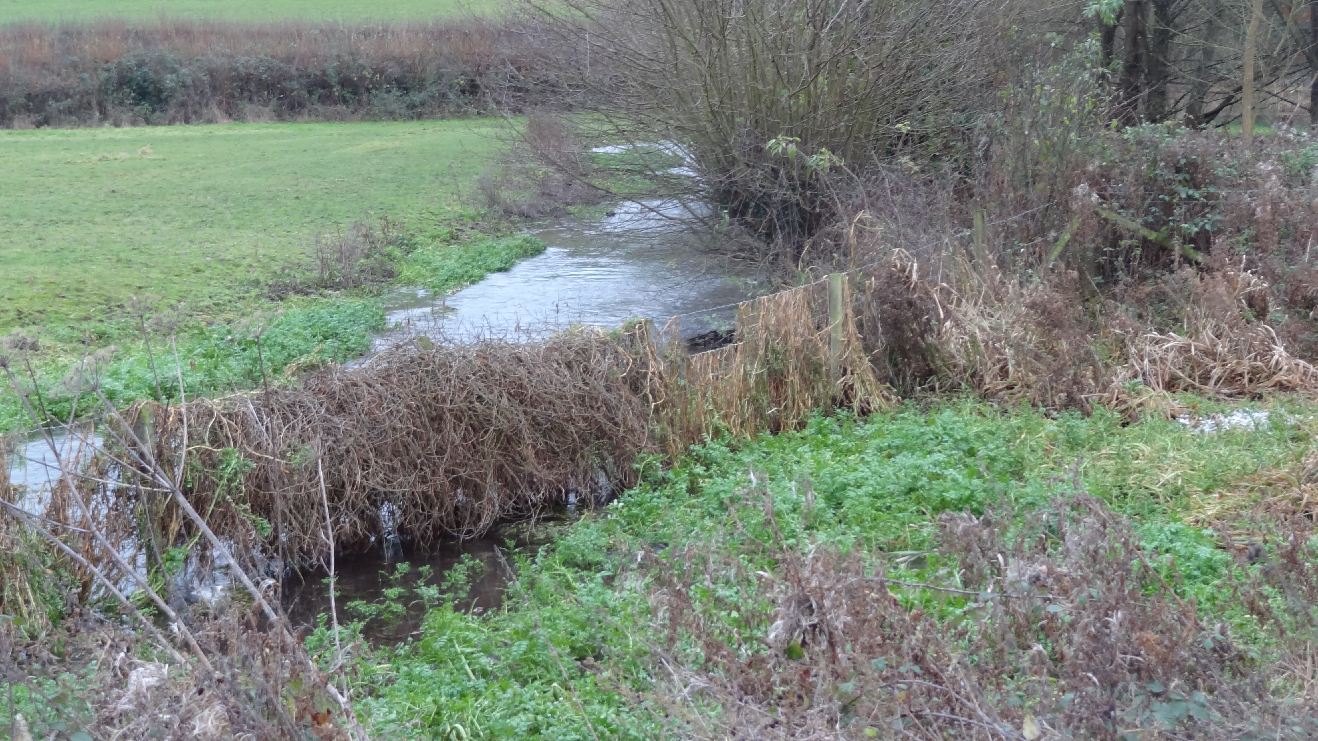
Flaunden
Flaunden is a village and a civil parish in Hertfordshire, England, close to the border with Buckinghamshire. Old Flaunden was on the banks of the River...
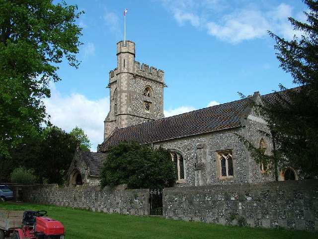
St Michael's, Chenies
St Michael's Church at Chenies, Buckinghamshire, is a Grade I listed Anglican parish church in the Diocese of Oxford in England. It is not of great architectural...
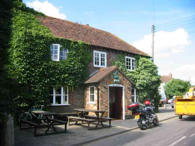
The Green Dragon, Flaunden
The Green Dragon is a Grade II listed public house in Flaunden, Hertfordshire, England. The rear wing, a timber-framed structure, is the oldest part of...

Chenies Manor House
Chenies Manor House in the parish of Chenies in Buckinghamshire, England, is a Tudor Grade I listed building once known as Chenies Palace, although it...
Nearby Amenities
Located within 500m of 51.685941,-0.5195279Have you been to Bramble Croft?
Leave your review of Bramble Croft below (or comments, questions and feedback).