Roundles Copse

Wood, Forest in Surrey Waverley

England

Roundles Copse

Grassy field west of A281 Farnhurst Copse is beyond.
Grassy field west of A281 Credit: Robin Webster

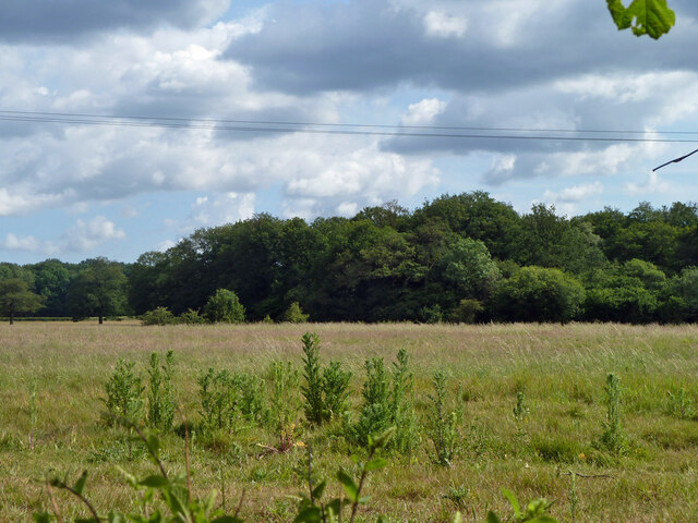
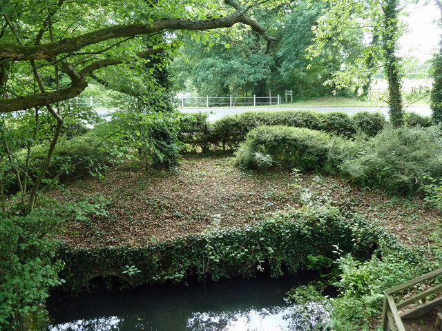
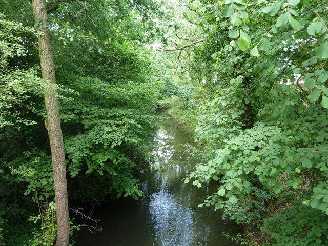
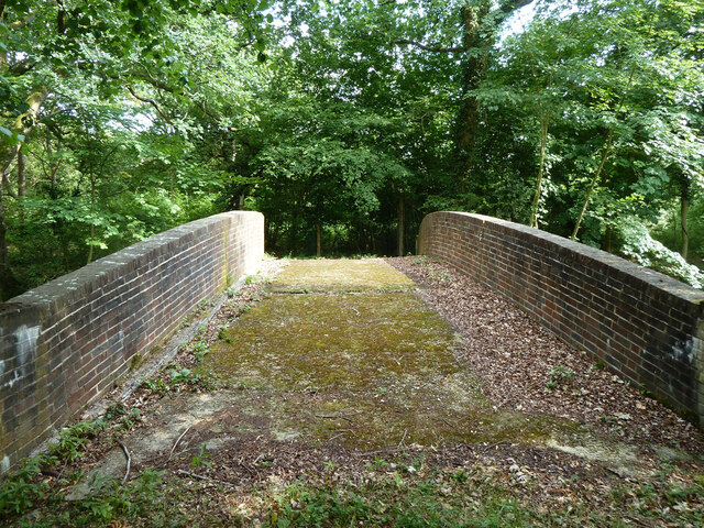
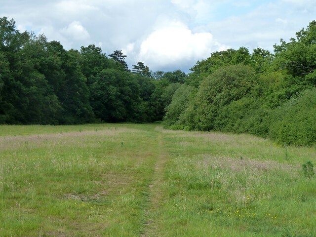
Roundles Copse is a picturesque woodland located in the county of Surrey, England. Situated near the village of Shackleford, this enchanting forest covers an area of approximately 10 acres. The copse is known for its diverse range of flora and fauna, making it a popular destination for nature enthusiasts and hikers alike.

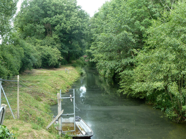
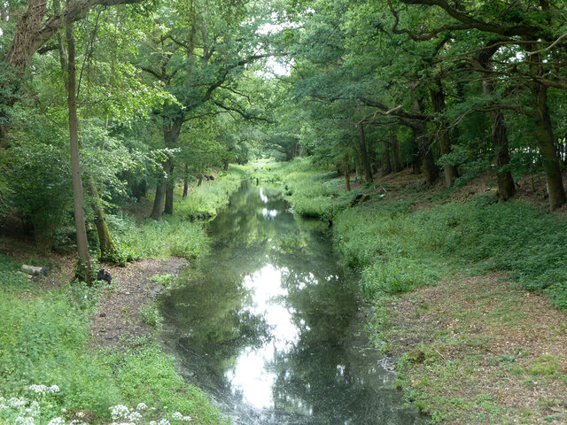
Shrouded in tranquility, Roundles Copse boasts a rich variety of trees, including oak, beech, and birch. The thick canopy formed by these towering giants creates a sheltered environment, allowing an array of wildflowers and ferns to flourish on the forest floor. In spring, the copse is adorned with vibrant bluebells, creating a carpet of color that adds to its timeless beauty.

Visitors to Roundles Copse can explore a network of well-maintained footpaths that wind their way through the woodland. These paths offer glimpses of charming wildlife, such as deer, badgers, and various bird species. The copse is also home to a diverse range of insects, including butterflies and beetles, which thrive in this natural habitat.

In addition to its natural splendor, Roundles Copse also holds historical significance. It is believed to have been part of an ancient hunting ground, with remnants of old boundary markers still visible today. The copse has also been mentioned in several local folklore tales, adding a touch of mystique to its allure.

Overall, Roundles Copse in Surrey is a captivating woodland that showcases the beauty of nature. Its diverse flora and fauna, tranquil atmosphere, and historical significance make it a beloved destination for those seeking solace in the heart of the English countryside.

If you have any feedback on the listing, please let us know in the comments section below.

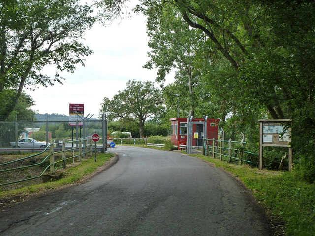
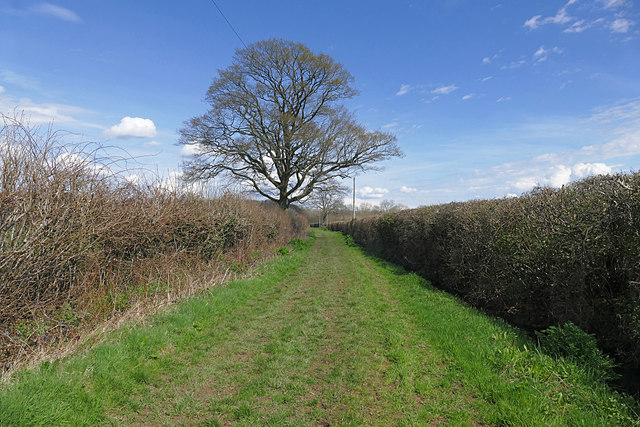
Roundles Copse Images

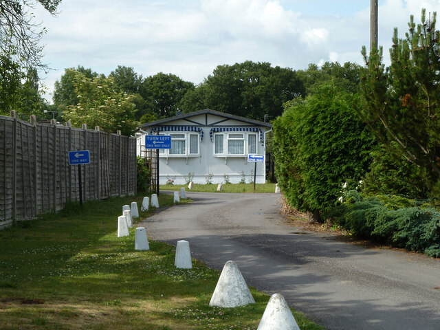
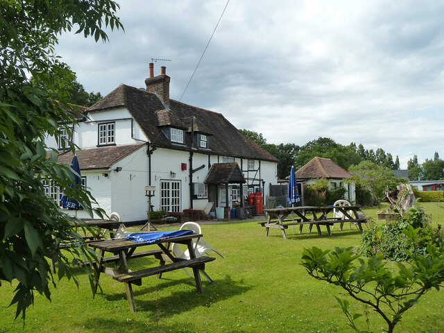
Images are sourced within 2km of 51.108159/-0.53087736 or Grid Reference TQ0235. Thanks to Geograph Open Source API. All images are credited.

Grassy field west of A281 Farnhurst Copse is beyond.
Grassy field west of A281
Farnhurst Copse is beyond.
Dumped rubble near Fast Bridge With some interesting weeds including Opium Poppy.
Dumped rubble near Fast Bridge
With some interesting weeds including Opium Poppy.
Telecommunications mast near Fast Bridge
Fast Bridge on Wey and Arun Canal The original bridge here, looking from the later A281 Alfold Bypass which culverted the abandoned canal.  A grade II listed 'building', restored 1991.
Fast Bridge on Wey and Arun Canal
The original bridge here, looking from the later A281 Alfold Bypass which culverted the abandoned canal. A grade II listed 'building', restored 1991.
A281 culvert, Wey and Arun Canal The A281 Alford Bypass was built way after the canal was abandoned, so there was no point in a navigable bridge.
A281 culvert, Wey and Arun Canal
The A281 Alford Bypass was built way after the canal was abandoned, so there was no point in a navigable bridge.
Wey and Arun Canal east of Fast Bridge The summit level of the derelict canal.
Wey and Arun Canal east of Fast Bridge
The summit level of the derelict canal.
End of bridleway 400, Alfold It meets the A281 by Fast Bridge.
End of bridleway 400, Alfold
It meets the A281 by Fast Bridge.
Pile of scrap wood near canal Looking ready for a bonfire.
Pile of scrap wood near canal
Looking ready for a bonfire.
Farnhurst Bridge, Wey and Arun Canal A disused bridge over a disused canal.
Farnhurst Bridge, Wey and Arun Canal
A disused bridge over a disused canal.
Wey and Arun Canal north of Farnhurst Bridge The summit level of the derelict canal.
Wey and Arun Canal north of Farnhurst Bridge
The summit level of the derelict canal.
Wey and Arun Canal south of Farnhurst Bridge The summit level of the derelict canal.
Wey and Arun Canal south of Farnhurst Bridge
The summit level of the derelict canal.
Bridleway 400, Alfold Towards the A281 at Fast Bridge.
Bridleway 400, Alfold
Towards the A281 at Fast Bridge.
Entrance to Compasses Mobile Home Park
Three Compasses pub from rear, 2011
Wey and Arun Canal north of Compasses 'Bridge', 2011 The original bridge here had been replaced with a causeway.  A few years after this view, a new navigable bridge was built and the causeway removed.
Wey and Arun Canal north of Compasses 'Bridge', 2011
The original bridge here had been replaced with a causeway. A few years after this view, a new navigable bridge was built and the causeway removed.
Wey and Arun Canal south of Compasses 'Bridge', 2011 The original bridge here had been replaced with a causeway.  A few years after this view, a new navigable bridge was built in the immediate foreground and the causeway removed.
Wey and Arun Canal south of Compasses 'Bridge', 2011
The original bridge here had been replaced with a causeway. A few years after this view, a new navigable bridge was built in the immediate foreground and the causeway removed.
Canal crossing and entrance to Dunsfold Park, 2011 The original Compasses Bridge over the Wey and Arun Canal here had been replaced with this causeway.  A few years after this view, a new navigable bridge was built to the immediate left, the causeway removed and the road and gate repositioned.
Canal crossing and entrance to Dunsfold Park, 2011
The original Compasses Bridge over the Wey and Arun Canal here had been replaced with this causeway. A few years after this view, a new navigable bridge was built to the immediate left, the causeway removed and the road and gate repositioned.
Footpath to High Loxley Road The footpath from Dunsfold Village to High Loxley Road.
Footpath to High Loxley Road
The footpath from Dunsfold Village to High Loxley Road.
Show me another place!

Roundles Copse is located at Grid Ref: TQ0235 (Lat: 51.108159, Lng: -0.53087736)

Administrative County: Surrey

District: Waverley

Police Authority: Surrey

What 3 Words

///chilling.recall.marinated. Near Cranleigh, Surrey

Related Wikis

Fir Tree Copse

Fir Tree Copse is a 6-hectare (15-acre) nature reserve south-east of Dunsfold in Surrey. It is managed by the Surrey Wildlife Trust and is part of the...

Dunsfold Aerodrome

Dunsfold Aerodrome (former ICAO code EGTD) is an unlicensed airfield in Surrey, England, near the village of Cranleigh. It extends across land in the villages...

Alfold F.C.

Alfold Football Club is a football club based in Alfold, Surrey, England. They are currently members of the Southern Combination Division One and play...
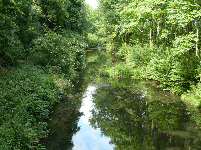
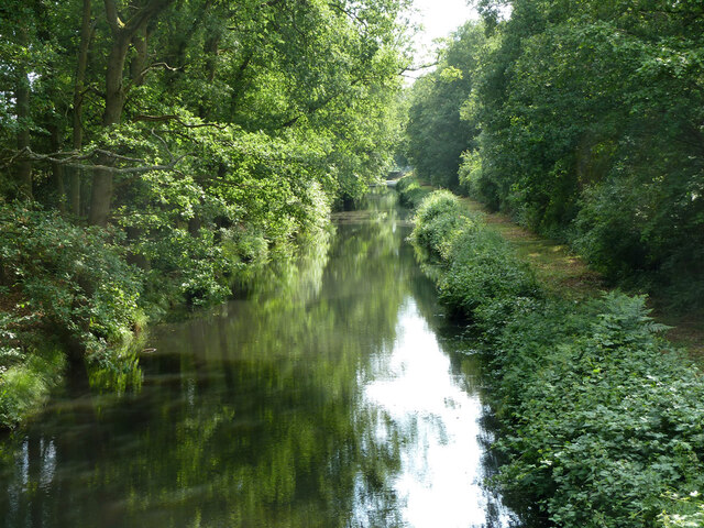
Wey and Arun Canal

The Wey and Arun Canal is a partially open, 23-mile-long (37 km) canal in the southeast of England. It runs southwards from the River Wey at Gunsmouth...

Nearby Amenities

Located within 500m of 51.108159,-0.53087736
Gun Emplacement (Disused)
Military: range
Lat/Long: 51.110944/-0.5362661
Mini Roundabout
Lat/Long: 51.109881/-0.5305604
Mini Roundabout
Lat/Long: 51.1099727/-0.5309123
Springbok-Radcliffe Estate
Place: locality
Lat/Long: 51.1050015/-0.5292382
Lower Seven Acre Copse
Natural: wood
Lat/Long: 51.1084715/-0.5275227
Eleven Acre Copse
Natural: wood
Lat/Long: 51.1068211/-0.5266215
The data included in this document is from www.openstreetmap.org. The data is made available under ODbL.

Have you been to Roundles Copse?

Leave your review of Roundles Copse below (or comments, questions and feedback).