Bell Wood

Wood, Forest in Bedfordshire

England

Bell Wood

Grazing sheep Fittingly a wood off to the left of this field is called Lamb's Spring.
Grazing sheep Credit: Robin Webster

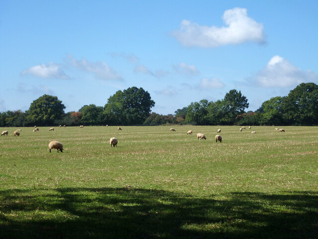
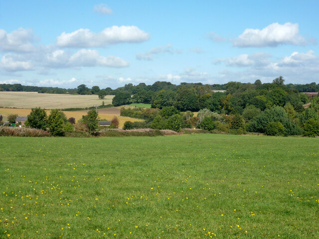
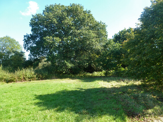
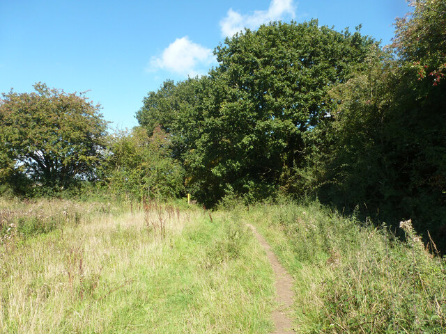
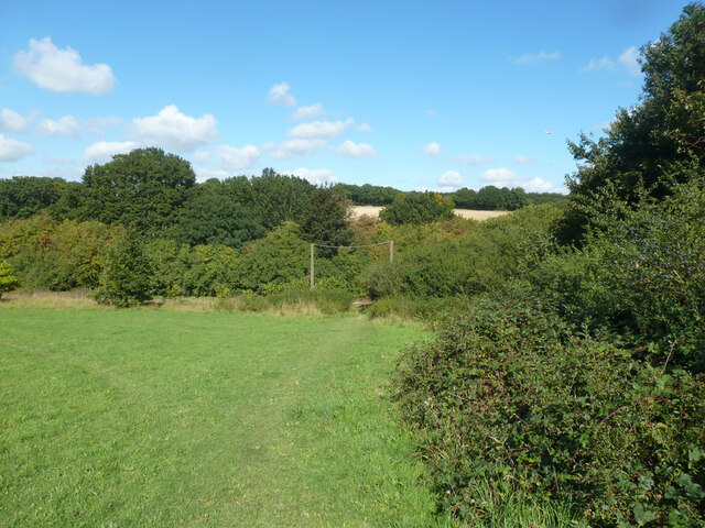
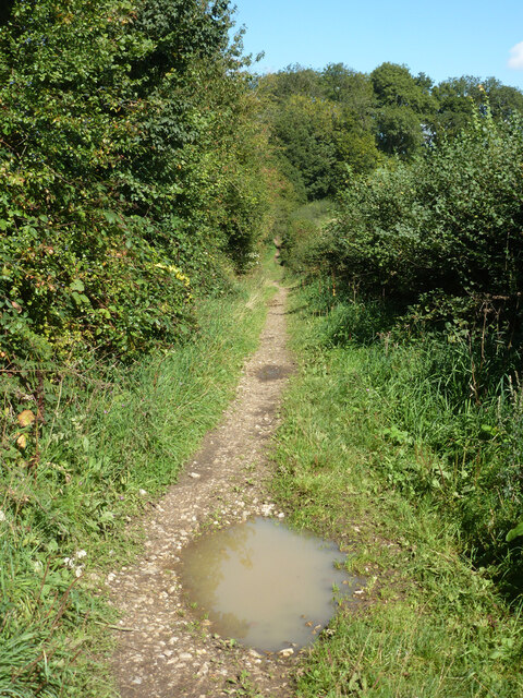
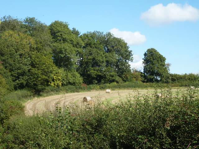
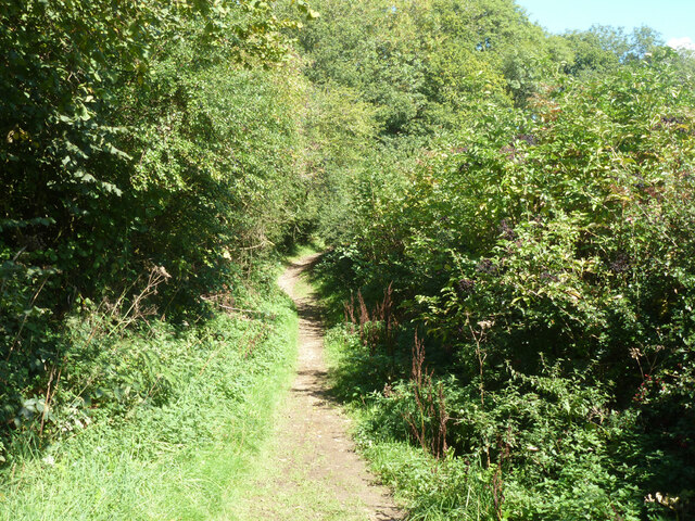
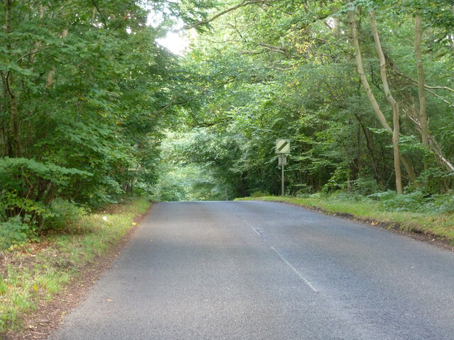
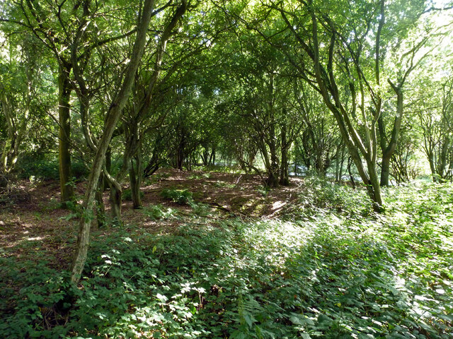
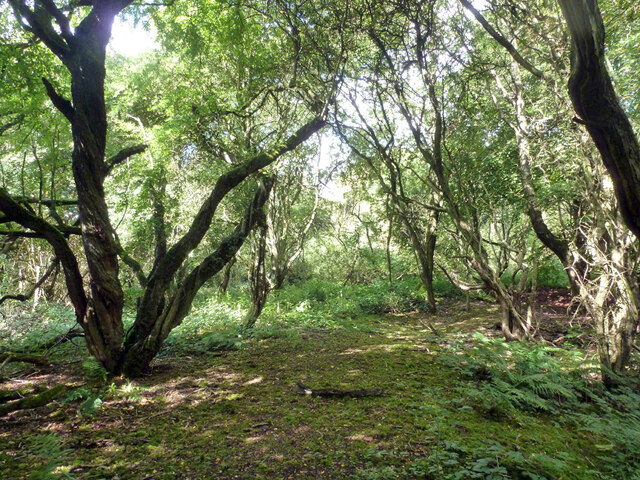
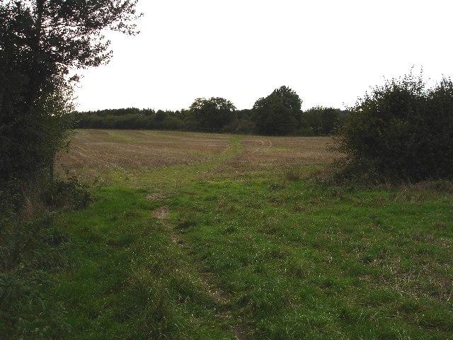
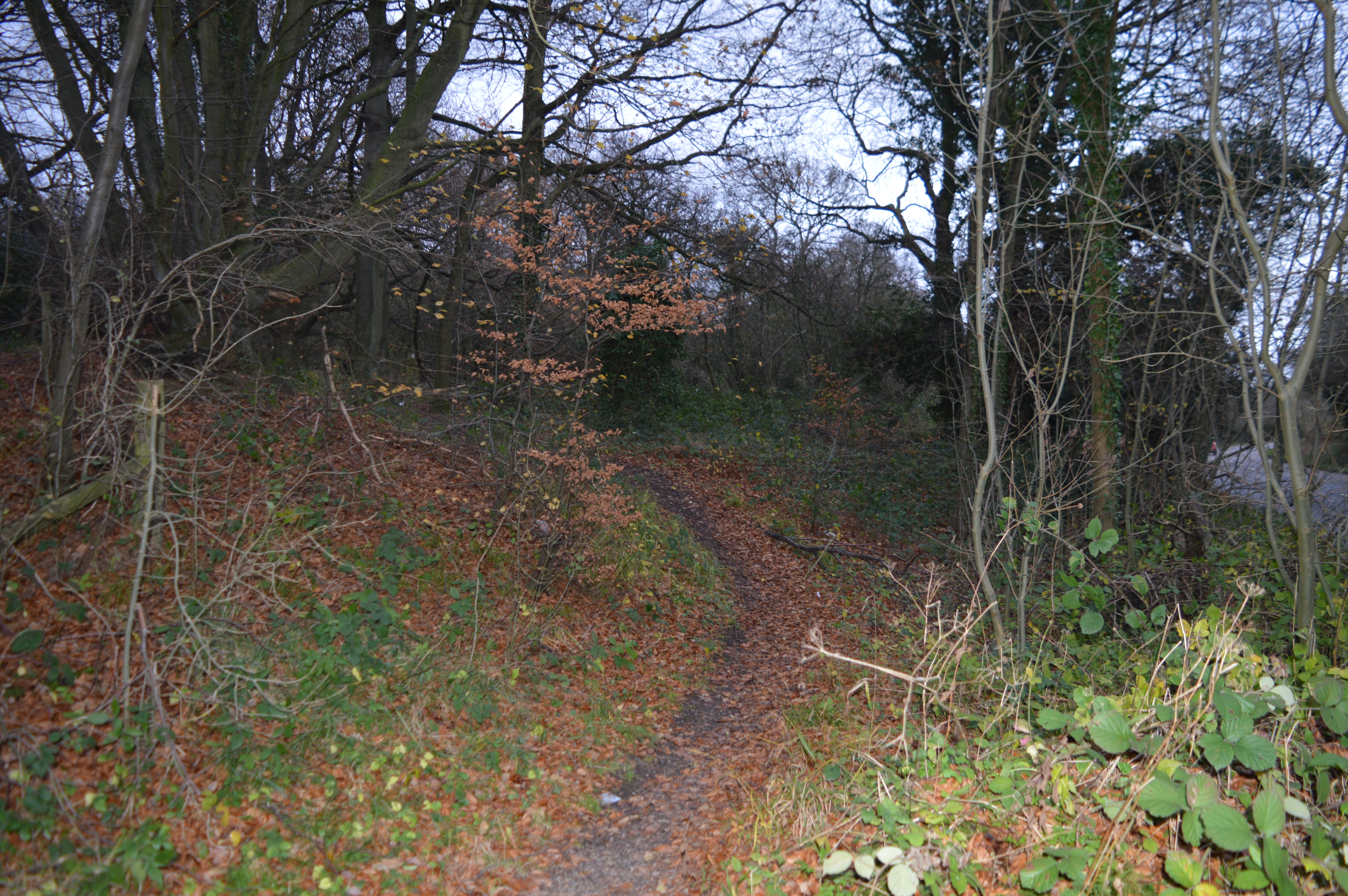
Bell Wood is a picturesque woodland located in Bedfordshire, England. Covering an area of approximately 20 hectares, it is a popular destination for nature lovers and outdoor enthusiasts. The wood is predominantly made up of native broadleaf trees, including oak, ash, and beech, which create a dense and vibrant canopy.

The woodland is home to a diverse range of flora and fauna, providing a rich habitat for various species. Bluebells carpet the forest floor in the spring, creating a stunning display of vibrant colors. Other wildflowers such as primroses, wood anemones, and wild garlic also thrive in the wood.

Bell Wood also serves as a sanctuary for many bird species, including woodpeckers, owls, and warblers. Visitors may spot these feathered creatures nestled among the branches or hear their melodic songs echoing through the trees. Small mammals such as foxes, squirrels, and rabbits can also be observed scurrying about the forest floor.

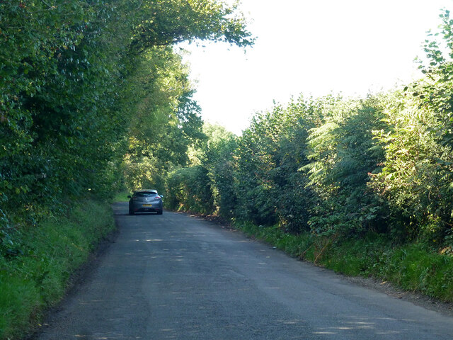
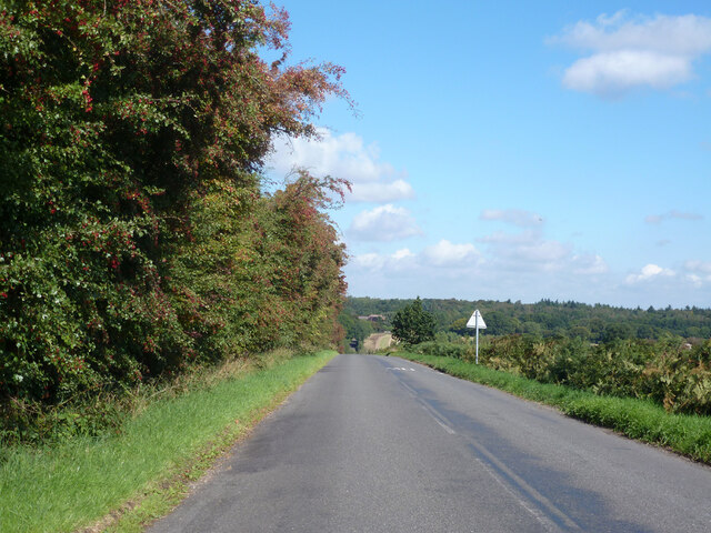
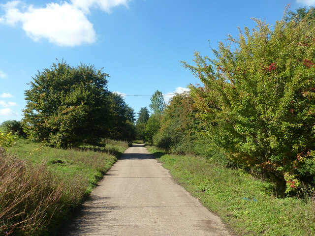
The wood offers a network of footpaths and trails, allowing visitors to explore its natural beauty. The serene atmosphere and tranquil surroundings make it an ideal spot for walking, jogging, or simply enjoying a peaceful picnic. Birdwatching and photography are also popular activities in Bell Wood.

Bell Wood, Bedfordshire, is a true gem for nature enthusiasts seeking a peaceful escape amidst the beauty of an ancient forest. Its diverse ecosystem and stunning scenery make it a must-visit destination for anyone looking to connect with nature.

If you have any feedback on the listing, please let us know in the comments section below.
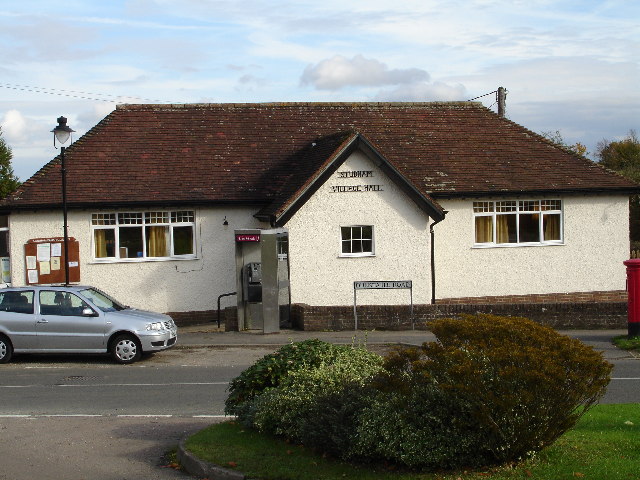
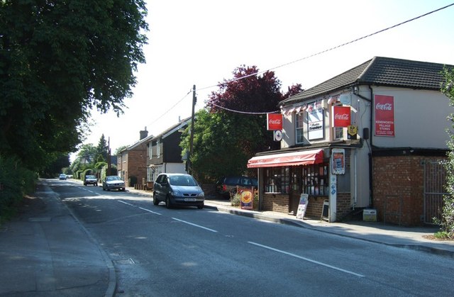
Bell Wood Images

Images are sourced within 2km of 51.834048/-0.51631609 or Grid Reference TL0216. Thanks to Geograph Open Source API. All images are credited.

Grazing sheep Fittingly a wood off to the left of this field is called Lamb's Spring.
Grazing sheep
Fittingly a wood off to the left of this field is called Lamb's Spring.
Clements End Road Towards Studham.
Clements End Road
Towards Studham.
Byslips Road Towards Dunstable.
Byslips Road
Towards Dunstable.
Studham Common and view north Most of the common is a large area of grassland.
Studham Common and view north
Most of the common is a large area of grassland.
SE corner of Studham Common Public footpaths follow both margins of the common, which has public access anyway.
SE corner of Studham Common
Public footpaths follow both margins of the common, which has public access anyway.
Footpath towards Studham Common The SE corner of the common is beyond the hedge ahead.
Footpath towards Studham Common
The SE corner of the common is beyond the hedge ahead.
NE corner of Studham Common Public footpaths follow both margins of the open common, which has public access anyway.
NE corner of Studham Common
Public footpaths follow both margins of the open common, which has public access anyway.
Studham sewage works Plated on the gate as 'Studham STW  STUDS1ZZ' by Thames Water.
Studham sewage works
Plated on the gate as 'Studham STW STUDS1ZZ' by Thames Water.
Roe End Lane Technically a full public highway of some sort, but in practice a footpath.
Roe End Lane
Technically a full public highway of some sort, but in practice a footpath.
Harvested field corner by Roe End Lane
Roe End Lane Technically a full public highway of some sort, but in practice a footpath.
Roe End Lane
Technically a full public highway of some sort, but in practice a footpath.
Studham sewage works road The access route to Studham sewage works runs along the northern edge of the open part of Studham Common. To the right is a belt of densely wooded common land.
Studham sewage works road
The access route to Studham sewage works runs along the northern edge of the open part of Studham Common. To the right is a belt of densely wooded common land.
Byslips Road heading north Deadmansey Wood on the right.
Byslips Road heading north
Deadmansey Wood on the right.
Woodland, Whipsnade Heath Most of the heath is now this sort of woodland.
Woodland, Whipsnade Heath
Most of the heath is now this sort of woodland.
Woodland, Whipsnade Heath Most of the heath is now this sort of woodland.
Woodland, Whipsnade Heath
Most of the heath is now this sort of woodland.
Herts / Beds border The green track crossing this field is the footpath that follows the Herts Beds border for 100 yards or so.  By the time the path reached the trees on the far side it has re-entered Beds .
Herts / Beds border
The green track crossing this field is the footpath that follows the Herts Beds border for 100 yards or so. By the time the path reached the trees on the far side it has re-entered Beds .
Whipsnade golf course The Icknield way runs directly across this golf course.  Whilst crossing it we were told that jeans are not permitted on the course!  Must remember to bring a change of clothes next time we're out walking this way. (As a golfer myself, I wish we could shake off this image - Robin)
Whipsnade golf course
The Icknield way runs directly across this golf course. Whilst crossing it we were told that jeans are not permitted on the course! Must remember to bring a change of clothes next time we're out walking this way. (As a golfer myself, I wish we could shake off this image - Robin)
Deer at Whipsnade zoo. This is the view of the deer that you get if you don't pay the entrance fee.  Closer but behind fences.  This was taken from the Icknield Way Path.  Anyway, what do they think they are looking at?
Deer at Whipsnade zoo.
This is the view of the deer that you get if you don't pay the entrance fee. Closer but behind fences. This was taken from the Icknield Way Path. Anyway, what do they think they are looking at?
Show me another place!

Bell Wood is located at Grid Ref: TL0216 (Lat: 51.834048, Lng: -0.51631609)

Unitary Authority: Central Bedfordshire

Police Authority: Bedfordshire

What 3 Words

///deep.print.forum. Near Kensworth, Bedfordshire

Related Wikis

Studham

Studham is a village and civil parish in the county of Bedfordshire. It has a population of 1,182. The parish bounds to the south of the Buckinghamshire...

Church of St Mary, Studham

Church of St Mary is a Grade I listed church in Studham, Bedfordshire, England. It became a listed building on 3 February 1967. == See also == Grade...

Holywell, Bedfordshire

Holywell is a hamlet located in the Central Bedfordshire district of Bedfordshire, England. The settlement is close to Whipsnade and Studham, and Holywell...

Kensworth

Kensworth is a village and civil parish located in the Central Bedfordshire district of Bedfordshire, England. The parish is located on the edge of Dunstable...

Whipsnade

Whipsnade is a small village and civil parish in Bedfordshire, England. It lies on the eastward tail spurs of the Chiltern Hills, about 2+1⁄2 miles (4...

Landpark Wood

Landpark Wood is a 3.6-hectare (8.9-acre) nature reserve near Whipsnade in Bedfordshire. It is managed by the Wildlife Trust for Bedfordshire, Cambridgeshire...

Ballingdon Bottom

Ballingdon Bottom is a valley in Hertfordshire, England. It forms part of the boundary between the civil parishes of Flamstead and Great Gaddesden....

Whipsnade Tree Cathedral

Whipsnade Tree Cathedral is a 9.5-acre (3.8 ha) garden in the village of Whipsnade in Bedfordshire, England. It is planted in the approximate form of a...

Nearby Amenities

Located within 500m of 51.834048,-0.51631609
Studham
Place: village
Wikidata: Q1520240
Lat/Long: 51.8323966/-0.5172159
Telephone
Booth: KX300
Covered: booth
Lat/Long: 51.8315386/-0.516627
Pub
Bell
Addr City: Stubham
Addr Country: GB
Addr Postcode: LU6 2QG
Addr Street: Dunstable Road
Alt Name: The Bell
Fhrs Authority: Central Bedfordshire
Fhrs Id: 450702
Fhrs Local Authority Id: 67489
Operator: Eatery & Treatory Co. Ltd.
Website: https://www.thebellinstudham.co.uk/
Wikidata: Q26607230
Lat/Long: 51.8331144/-0.5164541
Barrier: stile
Lat/Long: 51.8333217/-0.5155132
Barrier: stile
Lat/Long: 51.8336218/-0.5149639
Barrier: stile
Lat/Long: 51.8345748/-0.5110361
Post Box
Collection Times: Mo-Fr 16:15; Sa 11:30
Operator: Royal Mail
Post Box Type: pillar
Ref: LU6 28
Royal Cypher: GVIR
Royal Cypher Wikidata: Q33102169
Source: survey
Lat/Long: 51.8314743/-0.516668
Ele NPE: 545 ft
Fixme: metric
Source: npe
Lat/Long: 51.8352142/-0.5185693
Bus Stop
Lat/Long: 51.8360129/-0.5208782
Bus Stop
Naptan AtcoCode: 021016108
Naptan NaptanCode: ahlagdjd
Lat/Long: 51.8334193/-0.5168181
Bus Stop
Naptan AtcoCode: 021016109
Naptan NaptanCode: ahlagdjg
Lat/Long: 51.8333369/-0.5167531
Direction: 160
Generator Method: photovoltaic
Generator Output Electricity: yes
Generator Solar Modules: 7
Generator Source: solar
Generator Type: solar_photovoltaic_panel
Location: roof
Power: generator
Lat/Long: 51.8325052/-0.5173539
Direction: 175
Generator Method: photovoltaic
Generator Output Electricity: yes
Generator Solar Modules: 8
Generator Source: solar
Generator Type: solar_photovoltaic_panel
Location: roof
Power: generator
Lat/Long: 51.8321493/-0.5128561
Direction: 85
Generator Method: photovoltaic
Generator Output Electricity: yes
Generator Solar Modules: 8
Generator Source: solar
Generator Type: solar_photovoltaic_panel
Location: roof
Power: generator
Lat/Long: 51.8321859/-0.5128112
Bench
Backrest: yes
Source: Bing, GPS, observation
Lat/Long: 51.8313106/-0.5170588
Bench
Backrest: yes
Source: Bing, GPS, observation
Lat/Long: 51.8310413/-0.5177911
Addr Country: GB
Addr Housenumber: 126
Addr Street: Dunstable Road
Lat/Long: 51.8362722/-0.5210204
Historic: memorial
Memorial: war_memorial
Lat/Long: 51.8313237/-0.5168546
The data included in this document is from www.openstreetmap.org. The data is made available under ODbL.

Have you been to Bell Wood?

Leave your review of Bell Wood below (or comments, questions and feedback).