Caps Grove

Wood, Forest in Bedfordshire

England

Caps Grove

Grazing sheep Fittingly a wood off to the left of this field is called Lamb's Spring.
Grazing sheep Credit: Robin Webster

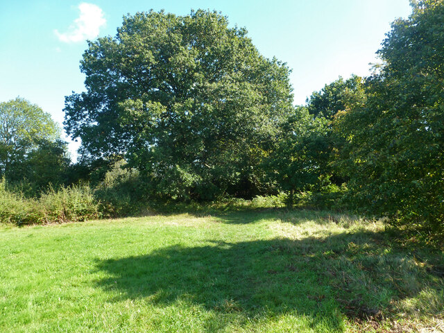
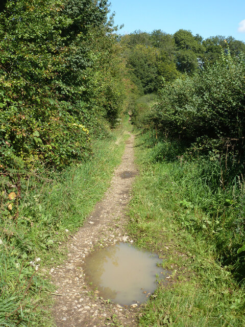
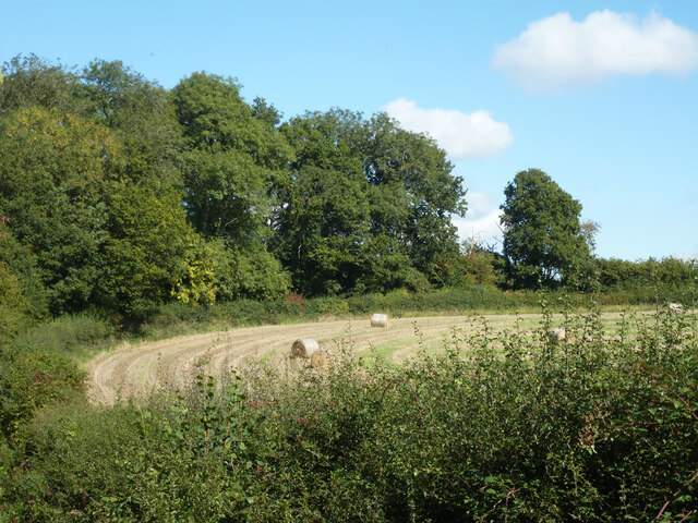
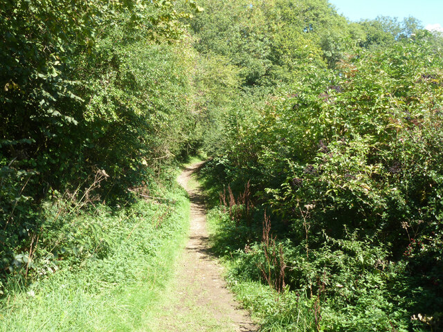
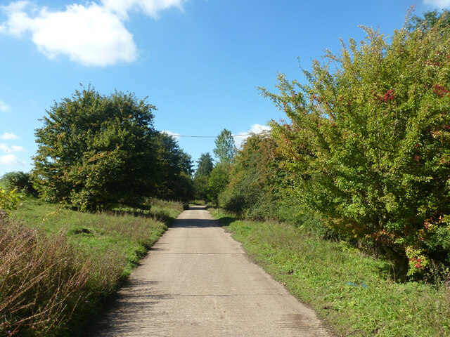
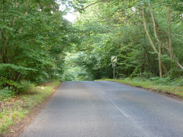
Caps Grove is a captivating wooded area located in the county of Bedfordshire, England. Situated near the village of Wood, the forest is a natural haven teeming with lush greenery and a diverse range of flora and fauna. Encompassing an expansive area, Caps Grove offers a serene and tranquil environment for visitors to immerse themselves in the beauty of nature.

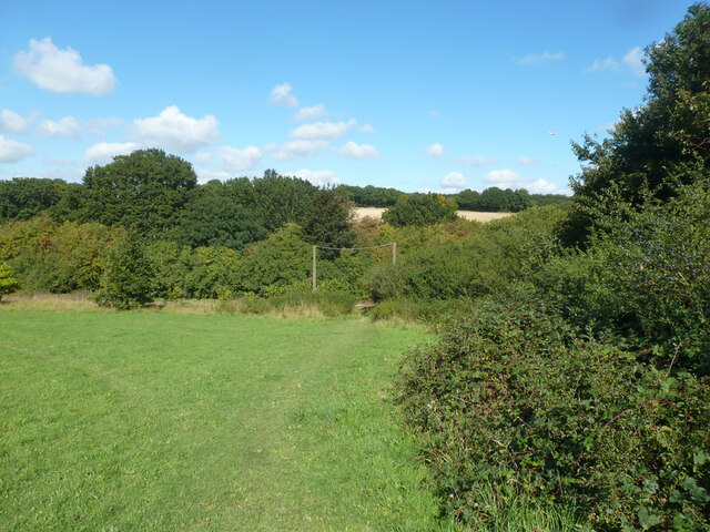
The forest is characterized by its dense canopy of deciduous and coniferous trees, creating a cool and shaded atmosphere even on warm summer days. Towering oak, beech, and pine trees dominate the landscape, providing a habitat for numerous wildlife species. Visitors can expect to encounter a variety of birds, including woodpeckers, owls, and songbirds, as well as small mammals like deer, foxes, and squirrels.

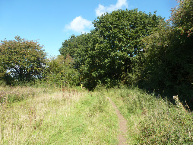
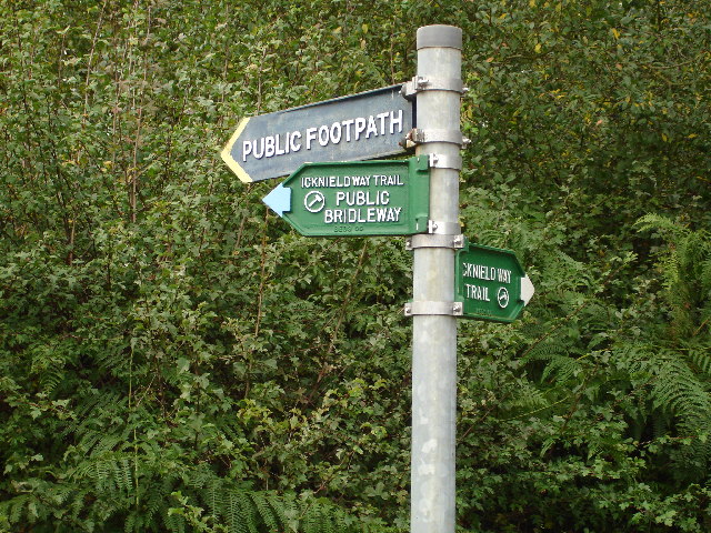
Nature enthusiasts and hikers are drawn to Caps Grove for its well-maintained trails that wind through the forest, offering breathtaking views and opportunities for exploration. The forest is also home to a number of picturesque ponds and streams, adding to its natural charm.

Caps Grove is not only a haven for wildlife but also a popular destination for recreational activities. The forest provides ample space for picnicking, camping, and leisurely walks, making it an ideal spot for families and nature lovers alike. The enchanting beauty of Caps Grove, combined with its accessibility and tranquility, make it a must-visit destination for anyone seeking respite from the hustle and bustle of daily life.

If you have any feedback on the listing, please let us know in the comments section below.
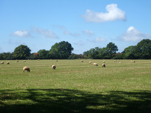
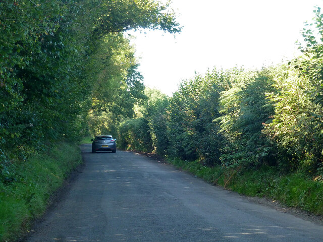
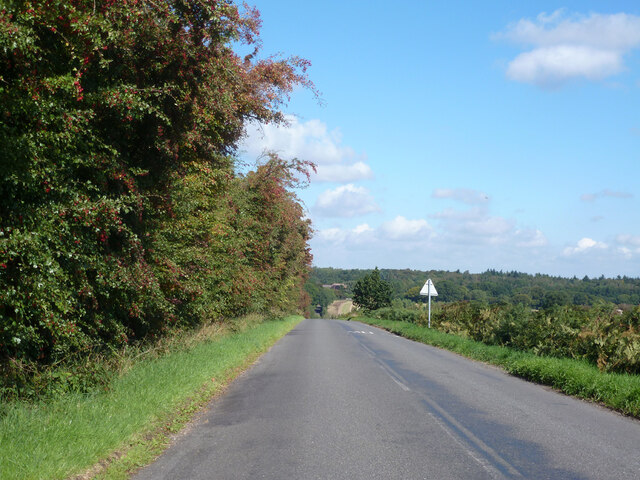
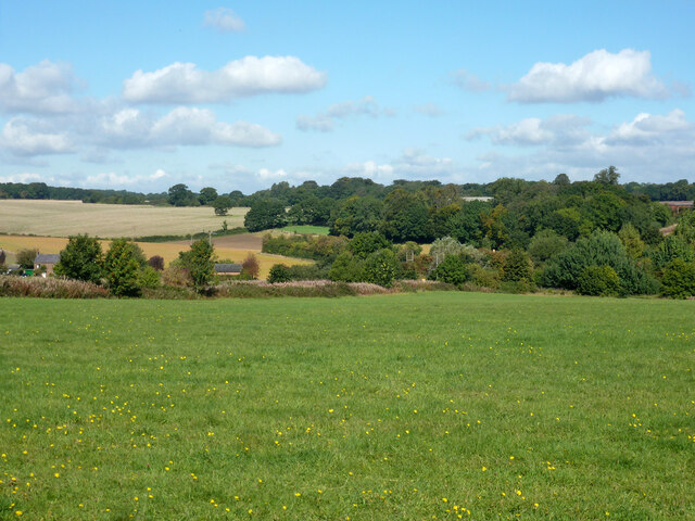
Caps Grove Images

Images are sourced within 2km of 51.834129/-0.50986938 or Grid Reference TL0216. Thanks to Geograph Open Source API. All images are credited.

Grazing sheep Fittingly a wood off to the left of this field is called Lamb's Spring.
Grazing sheep
Fittingly a wood off to the left of this field is called Lamb's Spring.
Clements End Road Towards Studham.
Clements End Road
Towards Studham.
Byslips Road Towards Dunstable.
Byslips Road
Towards Dunstable.
Studham Common and view north Most of the common is a large area of grassland.
Studham Common and view north
Most of the common is a large area of grassland.
SE corner of Studham Common Public footpaths follow both margins of the common, which has public access anyway.
SE corner of Studham Common
Public footpaths follow both margins of the common, which has public access anyway.
Footpath towards Studham Common The SE corner of the common is beyond the hedge ahead.
Footpath towards Studham Common
The SE corner of the common is beyond the hedge ahead.
NE corner of Studham Common Public footpaths follow both margins of the open common, which has public access anyway.
NE corner of Studham Common
Public footpaths follow both margins of the open common, which has public access anyway.
Studham sewage works Plated on the gate as 'Studham STW  STUDS1ZZ' by Thames Water.
Studham sewage works
Plated on the gate as 'Studham STW STUDS1ZZ' by Thames Water.
Roe End Lane Technically a full public highway of some sort, but in practice a footpath.
Roe End Lane
Technically a full public highway of some sort, but in practice a footpath.
Harvested field corner by Roe End Lane
Roe End Lane Technically a full public highway of some sort, but in practice a footpath.
Roe End Lane
Technically a full public highway of some sort, but in practice a footpath.
Studham sewage works road The access route to Studham sewage works runs along the northern edge of the open part of Studham Common. To the right is a belt of densely wooded common land.
Studham sewage works road
The access route to Studham sewage works runs along the northern edge of the open part of Studham Common. To the right is a belt of densely wooded common land.
Byslips Road heading north Deadmansey Wood on the right.
Byslips Road heading north
Deadmansey Wood on the right.
View to Studham Hall Farm This view is uphill towards Studham Hall farm across the field from the Icknield Way.
View to Studham Hall Farm
This view is uphill towards Studham Hall farm across the field from the Icknield Way.
Mason's Plantation. This plantation does not appear on the 1940's OS maps so is a reasonably young wood.  It seems to have been planted primarily to give cover to pheasants.
Mason's Plantation.
This plantation does not appear on the 1940's OS maps so is a reasonably young wood. It seems to have been planted primarily to give cover to pheasants.
Junction of Icknield Way and road south out of Studham These point all over the place.  The paths are clear but the pointers have been twisted around.
Junction of Icknield Way and road south out of Studham
These point all over the place. The paths are clear but the pointers have been twisted around.
View over fields towards Studham Studham is just over the horizon at this point beyond the trees.
View over fields towards Studham
Studham is just over the horizon at this point beyond the trees.
Wallaby at Whipsnade. This is a scrubby corner of the vast Whipsnade Zoo.  The wallabies seem to have been demoted to this area.
Wallaby at Whipsnade.
This is a scrubby corner of the vast Whipsnade Zoo. The wallabies seem to have been demoted to this area.
Show me another place!

Caps Grove is located at Grid Ref: TL0216 (Lat: 51.834129, Lng: -0.50986938)

Unitary Authority: Central Bedfordshire

Police Authority: Bedfordshire

What 3 Words

///deny.globe.lower. Near Kensworth, Bedfordshire

Related Wikis

Studham

Studham is a village and civil parish in the county of Bedfordshire. It has a population of 1,182. The parish bounds to the south of the Buckinghamshire...

Church of St Mary, Studham

Church of St Mary is a Grade I listed church in Studham, Bedfordshire, England. It became a listed building on 3 February 1967. == See also == Grade...

Holywell, Bedfordshire

Holywell is a hamlet located in the Central Bedfordshire district of Bedfordshire, England. The settlement is close to Whipsnade and Studham, and Holywell...

Kensworth

Kensworth is a village and civil parish located in the Central Bedfordshire district of Bedfordshire, England. The parish is located on the edge of Dunstable...

Nearby Amenities

Located within 500m of 51.834129,-0.50986938
Pub
Bell
Addr City: Stubham
Addr Country: GB
Addr Postcode: LU6 2QG
Addr Street: Dunstable Road
Alt Name: The Bell
Fhrs Authority: Central Bedfordshire
Fhrs Id: 450702
Fhrs Local Authority Id: 67489
Operator: Eatery & Treatory Co. Ltd.
Website: https://www.thebellinstudham.co.uk/
Wikidata: Q26607230
Lat/Long: 51.8331144/-0.5164541
Barrier: stile
Lat/Long: 51.8333217/-0.5155132
Barrier: stile
Lat/Long: 51.8336218/-0.5149639
Barrier: stile
Lat/Long: 51.8345748/-0.5110361
Barrier: stile
Lat/Long: 51.8345349/-0.5086441
Bus Stop
Naptan AtcoCode: 021016108
Naptan NaptanCode: ahlagdjd
Lat/Long: 51.8334193/-0.5168181
Bus Stop
Naptan AtcoCode: 021016109
Naptan NaptanCode: ahlagdjg
Lat/Long: 51.8333369/-0.5167531
Direction: 175
Generator Method: photovoltaic
Generator Output Electricity: yes
Generator Solar Modules: 8
Generator Source: solar
Generator Type: solar_photovoltaic_panel
Location: roof
Power: generator
Lat/Long: 51.8321493/-0.5128561
Direction: 85
Generator Method: photovoltaic
Generator Output Electricity: yes
Generator Solar Modules: 8
Generator Source: solar
Generator Type: solar_photovoltaic_panel
Location: roof
Power: generator
Lat/Long: 51.8321859/-0.5128112
The data included in this document is from www.openstreetmap.org. The data is made available under ODbL.

Have you been to Caps Grove?

Leave your review of Caps Grove below (or comments, questions and feedback).