Whiting Mill Bottom
Valley in Lincolnshire
England
Whiting Mill Bottom
The requested URL returned error: 429 Too Many Requests
If you have any feedback on the listing, please let us know in the comments section below.
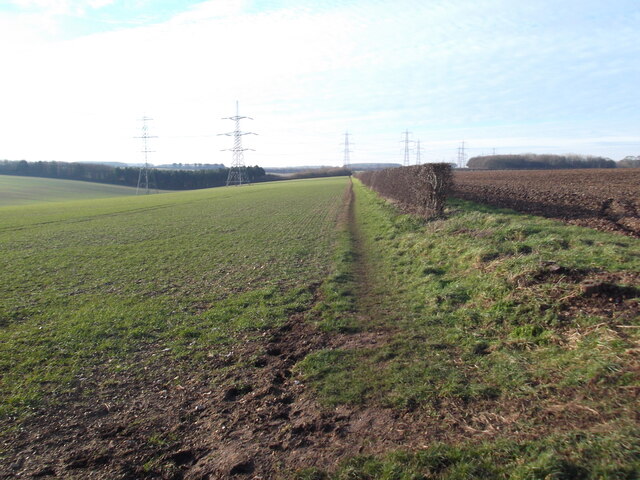
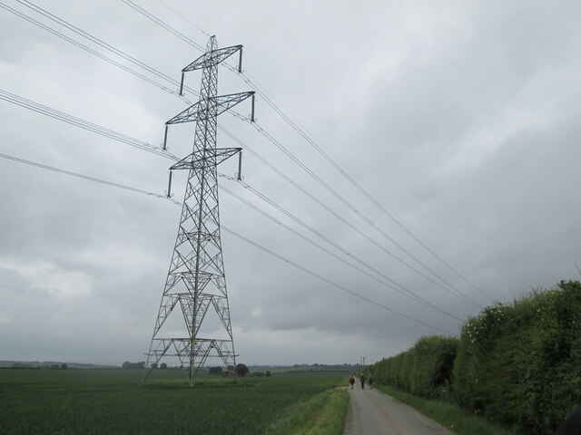
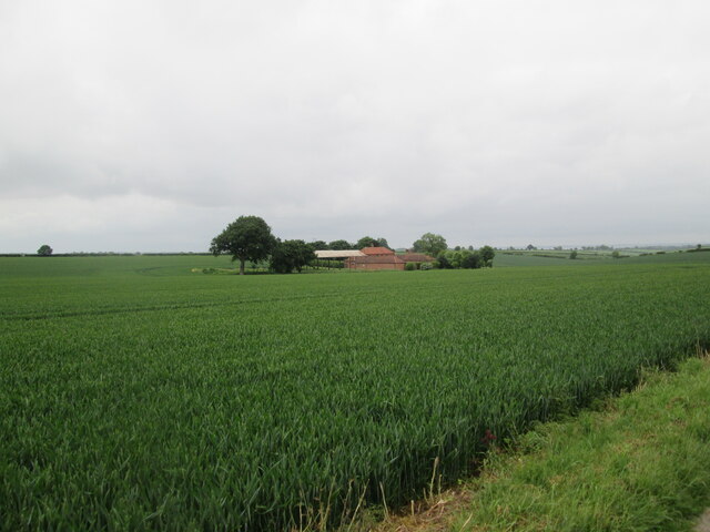
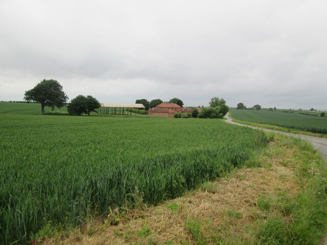
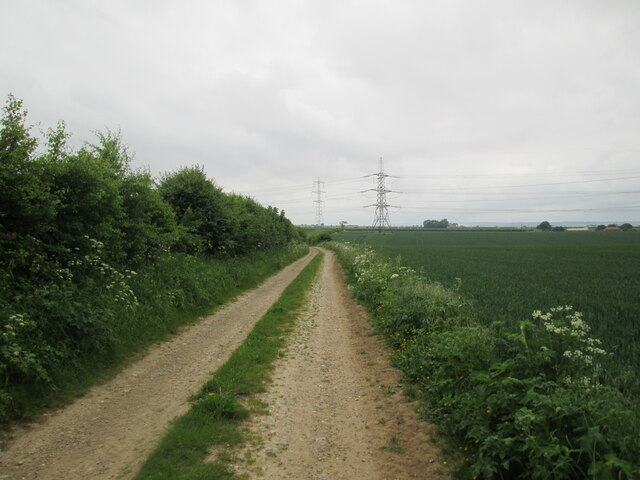
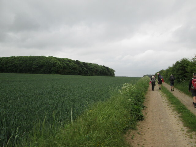
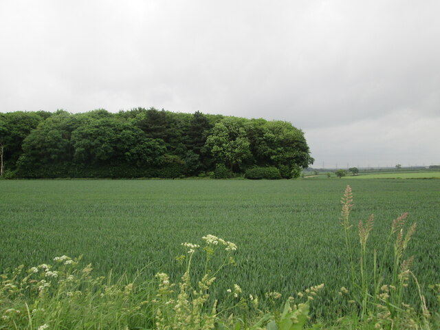
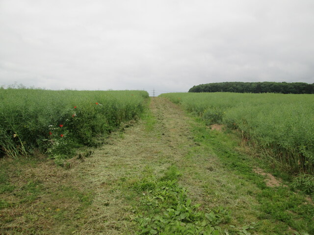
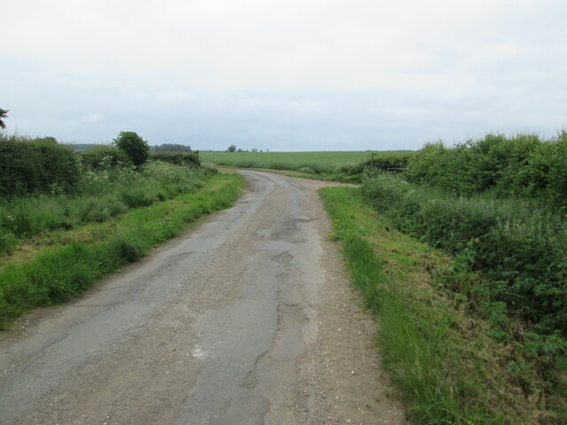
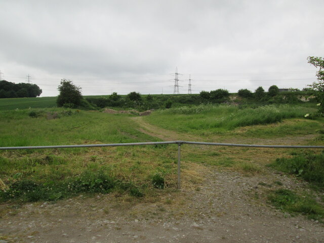
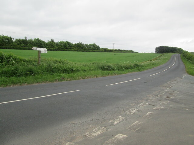
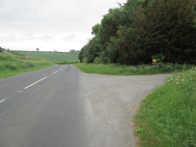
Whiting Mill Bottom Images
Images are sourced within 2km of 53.656368/-0.45598545 or Grid Reference TA0218. Thanks to Geograph Open Source API. All images are credited.


Whiting Mill Bottom is located at Grid Ref: TA0218 (Lat: 53.656368, Lng: -0.45598545)
Unitary Authority: North Lincolnshire
Police Authority: Humberside
What 3 Words
///nagging.guideline.shunning. Near Barton upon Humber, Lincolnshire
Nearby Locations
Related Wikis

Baysgarth Park
Baysgarth Park is a public park situated in the market town of Barton-upon-Humber, Lincolnshire, England.The park provides thirty acres of recreational...

Deepdale Hoard
The Deepdale Hoard is a Roman coin hoard found in Deepdale (near Barton-upon-Humber) in North Lincolnshire in 1979. It consisted of 260 silver siliquae...
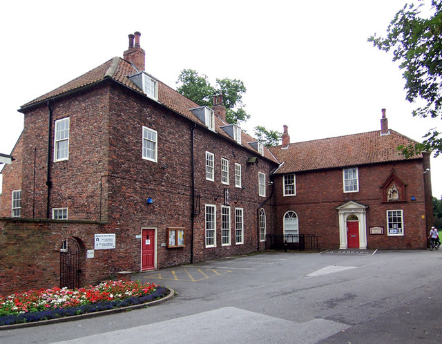
Baysgarth House Museum
Baysgarth House Museum is a local museum located in Baysgarth House, situated in Baysgarth Park, in the market town of Barton-upon-Humber, Lincolnshire...
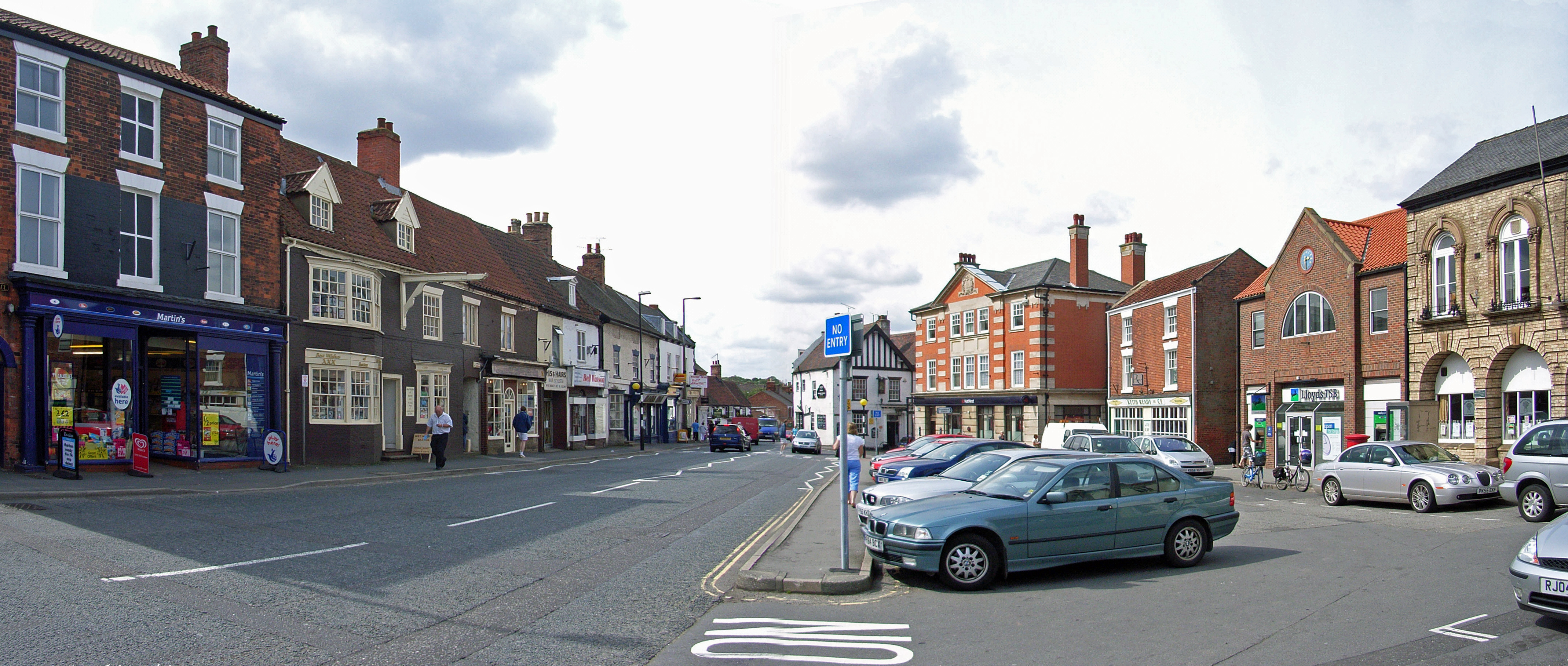
Barton-upon-Humber
Barton-upon-Humber () or Barton is a town and civil parish in North Lincolnshire, England. The population at the 2011 census was 11,066. It is situated...
Nearby Amenities
Located within 500m of 53.656368,-0.45598545Have you been to Whiting Mill Bottom?
Leave your review of Whiting Mill Bottom below (or comments, questions and feedback).