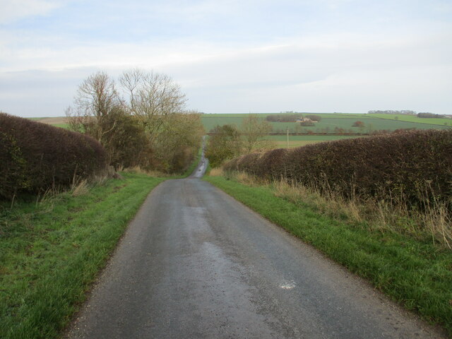
Foxholes Bottom
Valley in Yorkshire Ryedale
England
Foxholes Bottom

The requested URL returned error: 429 Too Many Requests
If you have any feedback on the listing, please let us know in the comments section below.
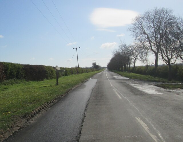
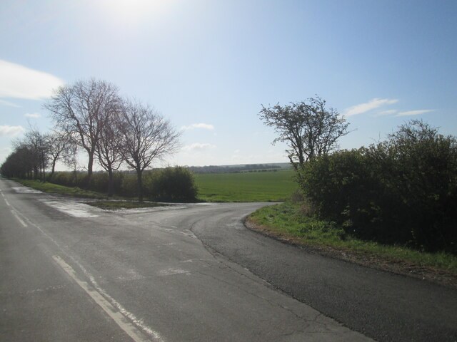
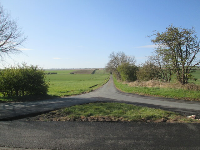
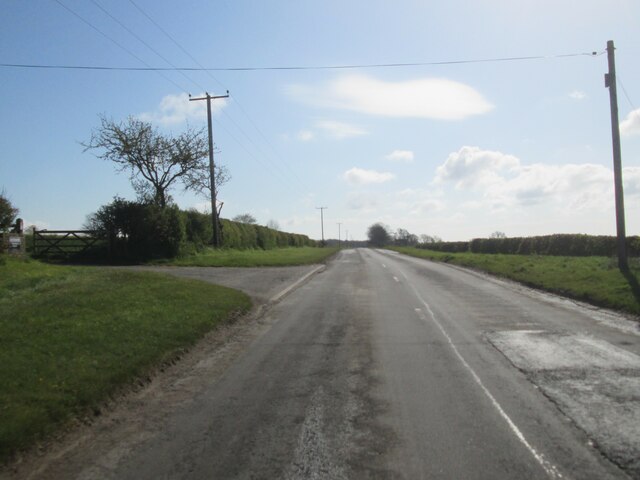
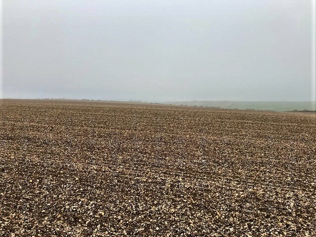
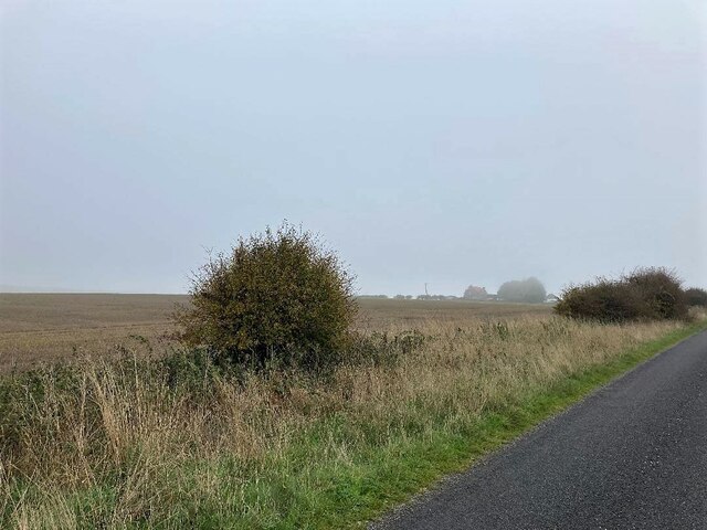
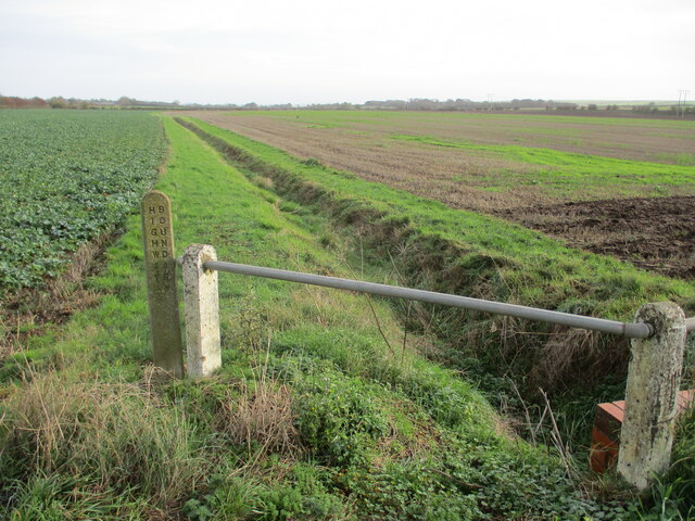
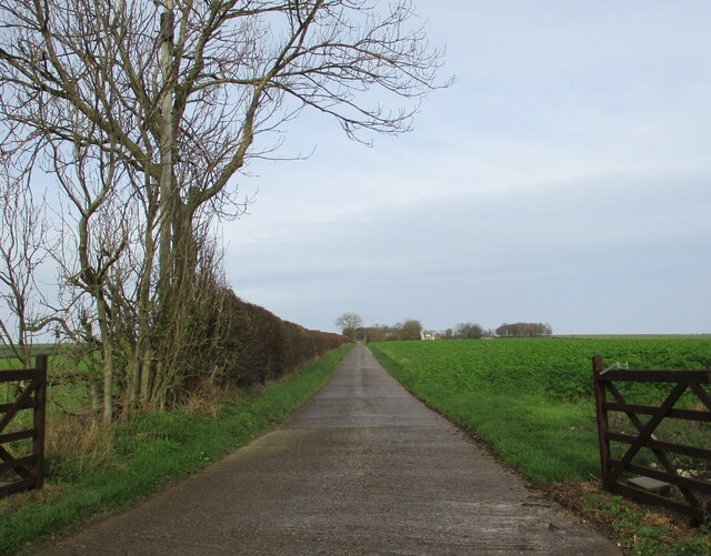
Foxholes Bottom Images
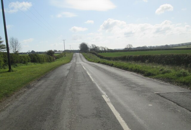
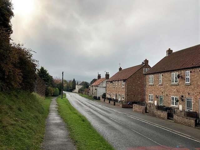
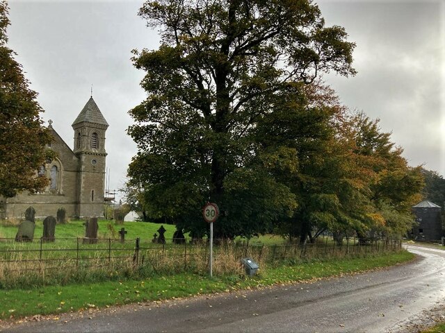
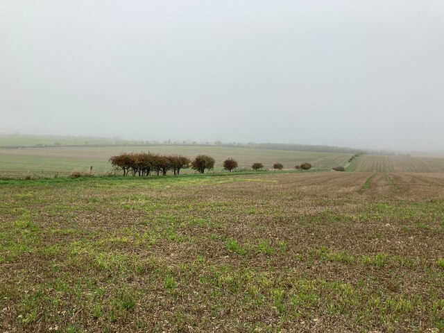
Images are sourced within 2km of 54.139469/-0.43980051 or Grid Reference TA0272. Thanks to Geograph Open Source API. All images are credited.


Foxholes Bottom is located at Grid Ref: TA0272 (Lat: 54.139469, Lng: -0.43980051)
Division: East Riding
Administrative County: North Yorkshire
District: Ryedale
Police Authority: North Yorkshire
What 3 Words
///spice.marinated.tunes. Near Wold Newton, East Yorkshire
Nearby Locations
Related Wikis
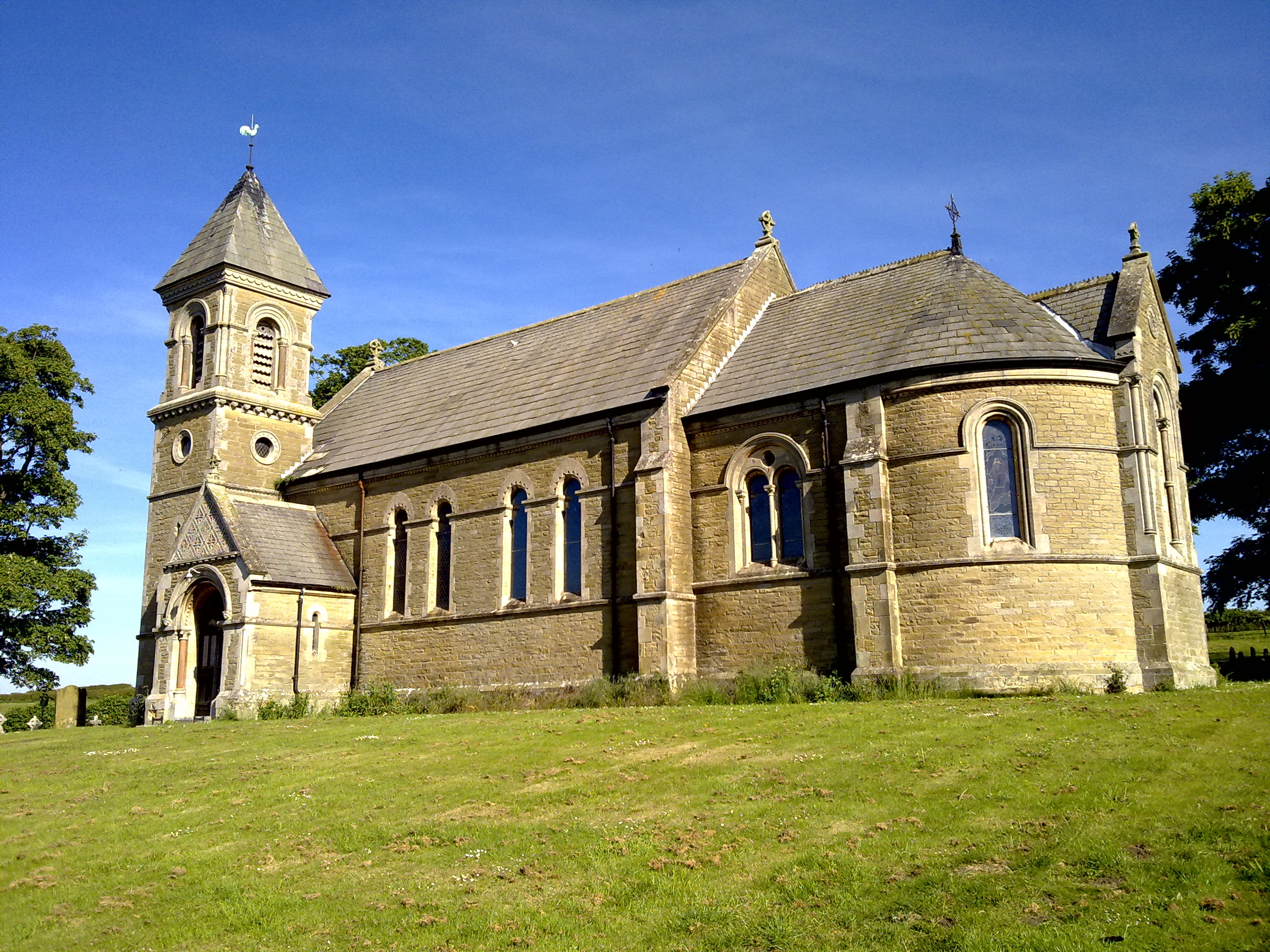
Foxholes, North Yorkshire
Foxholes is a village in North Yorkshire, England, part of the civil parish of Foxholes with Butterwick. It lies where the B1249 road crosses the Great...
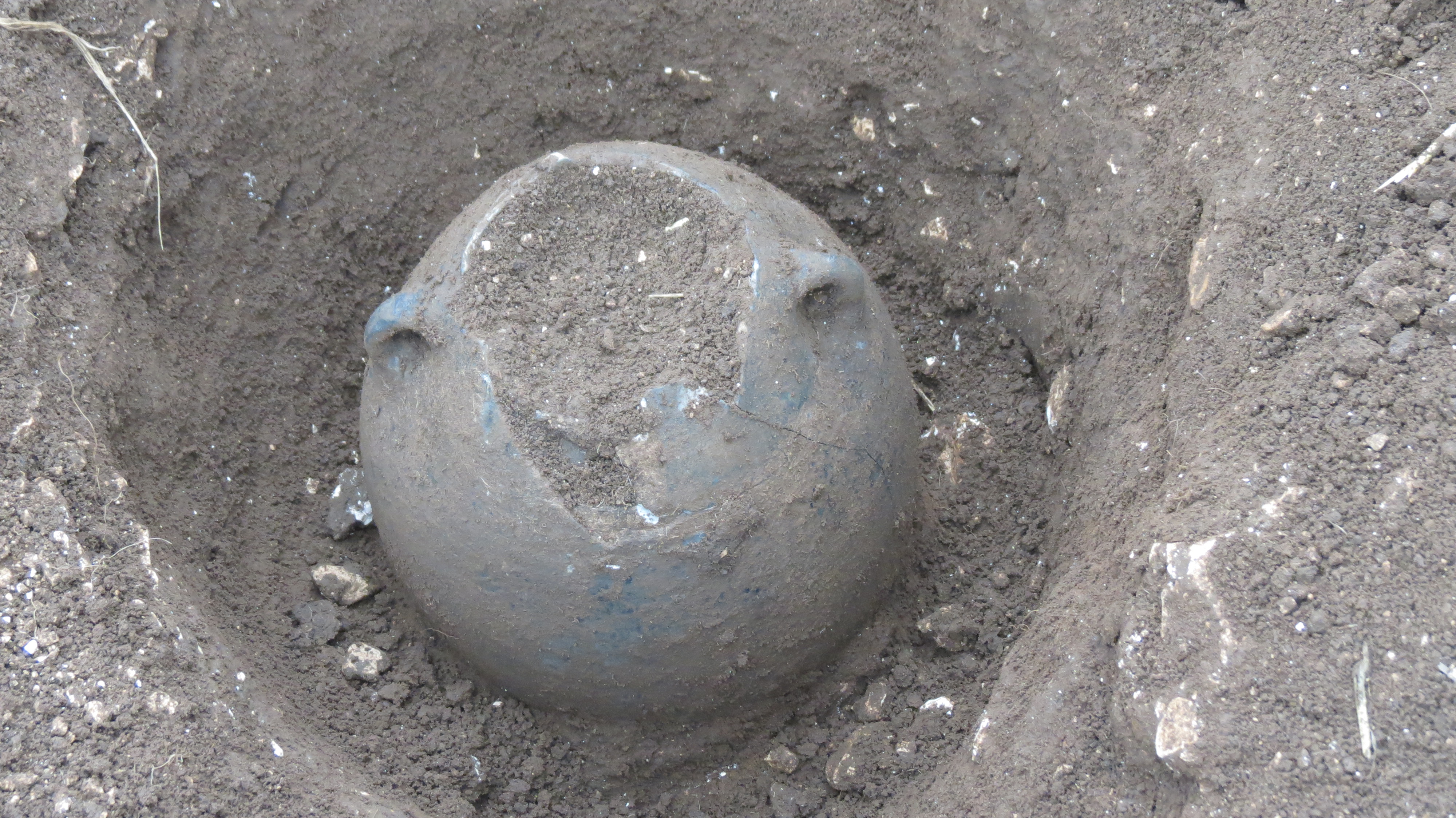
Wold Newton Hoard
The Wold Newton Hoard is a coin hoard dating from the early 4th century AD. It contains 1,857 coins held within a pottery container. It was acquired by...

Wold Cottage meteorite
The Wold Cottage meteorite (also called the Wold Newton meteorite) fell near Wold Cottage farm in 1795, a few miles away from the village of Wold Newton...

Wold Newton, East Riding of Yorkshire
Wold Newton is a small Yorkshire Wolds village and civil parish in the East Riding of Yorkshire, England. It is situated approximately 9 miles (14 km)...
Nearby Amenities
Located within 500m of 54.139469,-0.43980051Have you been to Foxholes Bottom?
Leave your review of Foxholes Bottom below (or comments, questions and feedback).