Little Moor Clough
Valley in Lancashire
England
Little Moor Clough
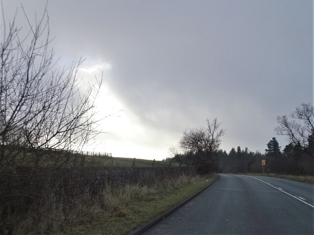
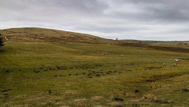
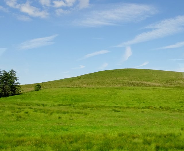
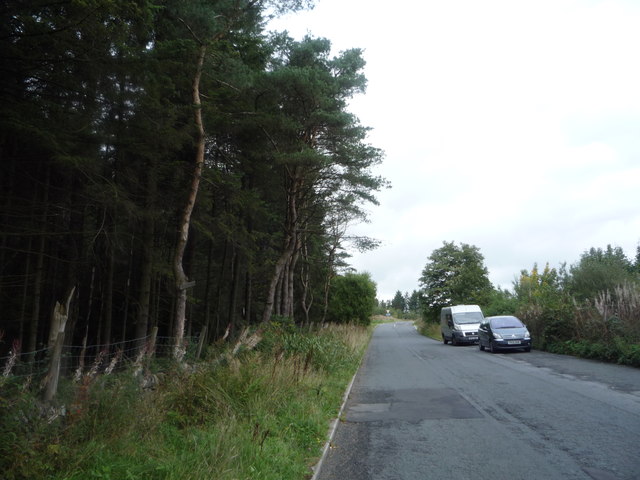
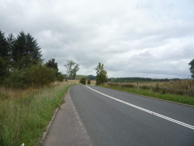
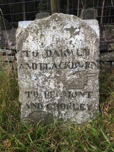
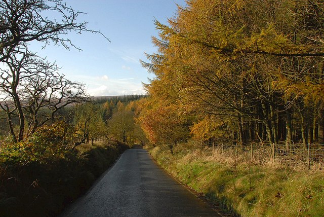
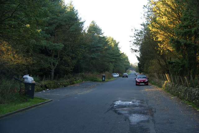
Little Moor Clough is a picturesque valley located in Lancashire, England. Situated in the South Pennines, it is nestled between the towns of Oldham and Rochdale. The valley is known for its stunning natural beauty and tranquil surroundings, making it a popular destination for nature lovers and outdoor enthusiasts.
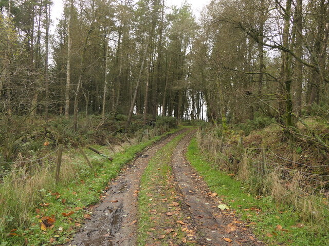
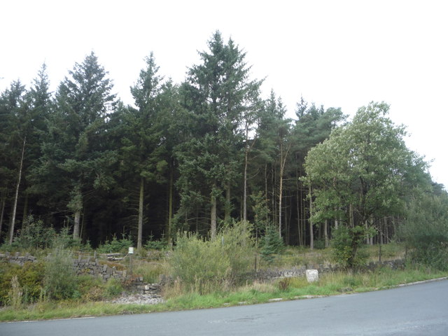
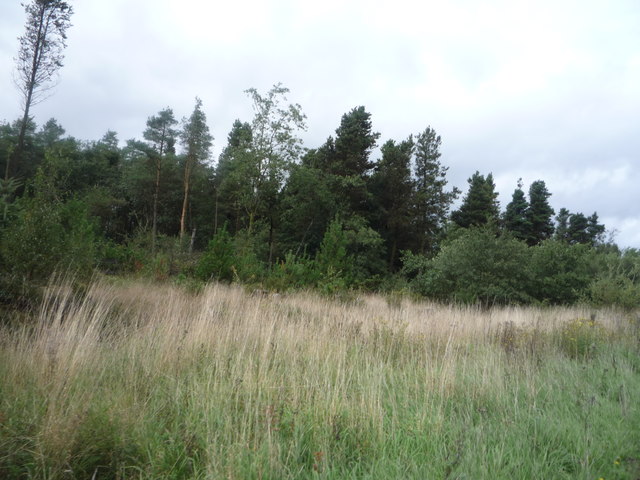
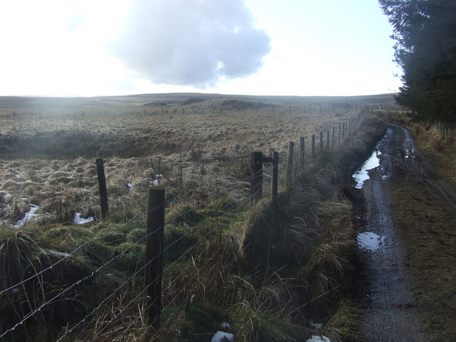
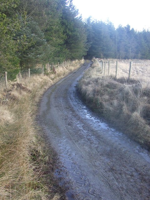
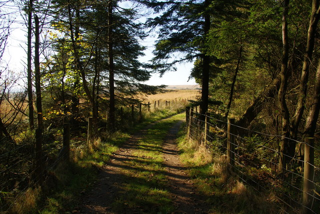
The clough is characterized by its rolling hills, deep wooded areas, and the presence of a meandering stream that runs through the valley. The stream, known as Little Moor Brook, adds to the charm of the area with its crystal-clear waters and soothing sound.
The flora and fauna of Little Moor Clough are diverse and thriving. The wooded areas are home to a variety of tree species, including oak, birch, and beech, providing shelter and habitat for numerous bird species, such as woodpeckers and owls. The valley also serves as a haven for wildlife, with sightings of rabbits, foxes, and even deer being common.
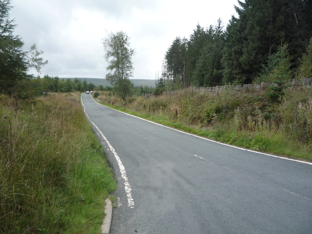
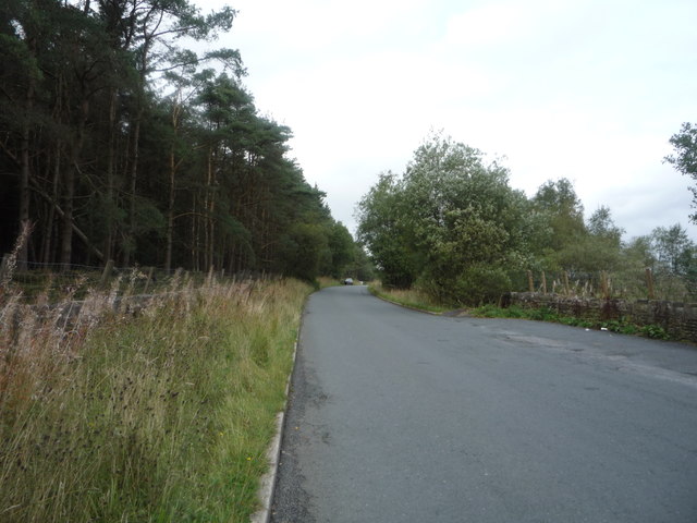
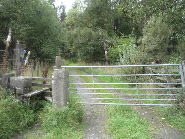
The valley is crisscrossed by several footpaths and trails, making it an ideal location for hiking and walking. These paths offer visitors the opportunity to explore the valley and take in the breathtaking views of the surrounding landscape. Additionally, Little Moor Clough is part of a larger network of walking routes, allowing visitors to embark on longer hikes and discover more of the stunning countryside.
Overall, Little Moor Clough is a hidden gem in Lancashire, offering a peaceful and scenic escape from the hustle and bustle of everyday life. Its natural beauty, diverse wildlife, and walking opportunities make it a must-visit destination for anyone seeking a connection with nature.
If you have any feedback on the listing, please let us know in the comments section below.
Little Moor Clough Images
Images are sourced within 2km of 53.651066/-2.4302156 or Grid Reference SD7117. Thanks to Geograph Open Source API. All images are credited.
Little Moor Clough is located at Grid Ref: SD7117 (Lat: 53.651066, Lng: -2.4302156)
Unitary Authority: Blackburn with Darwen
Police Authority: Lancashire
What 3 Words
///recipient.broached.dragons. Near Edgworth, Lancashire
Related Wikis
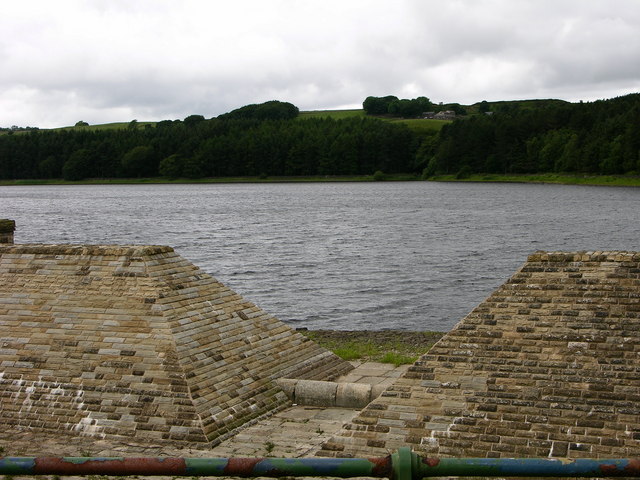
Turton and Entwistle Reservoir
Turton and Entwistle Reservoir is a water reservoir in the village of Edgworth, Lancashire, England. The reservoir's existence is due to the Entwistle...

Yarnsdale
Yarnsdale is a dale or valley in Lancashire. The name is derived from the heron or hern.It contains a small sandstone quarry, also known as Cadshaw Quarry...

Entwistle railway station
Entwistle railway station (first opened in 1848) is 5+3⁄4 miles (9.3 km) north of Bolton and serves the village of Entwistle. It is also the closest station...
Entwistle, Lancashire
Entwistle is a village in the Blackburn with Darwen unitary authority in Lancashire in the north west of England. Its name derives from the Old English...
Nearby Amenities
Located within 500m of 53.651066,-2.4302156Have you been to Little Moor Clough?
Leave your review of Little Moor Clough below (or comments, questions and feedback).