Simms Clough
Valley in Lancashire
England
Simms Clough
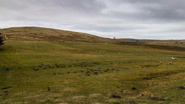
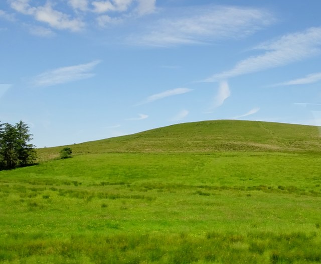
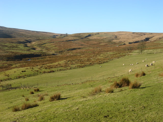
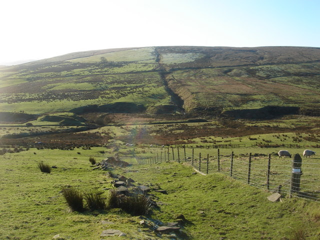
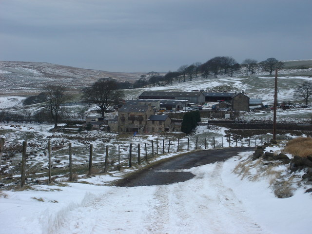
Simms Clough is a picturesque valley located in the county of Lancashire, England. Nestled amidst the rolling hills of the Pennines, this valley offers stunning natural beauty and a peaceful atmosphere for visitors and residents alike.
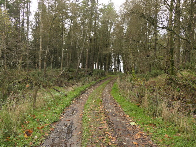
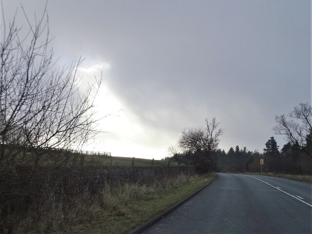
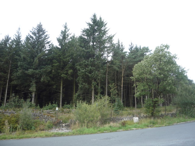
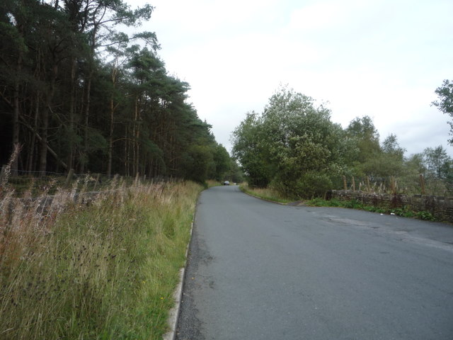
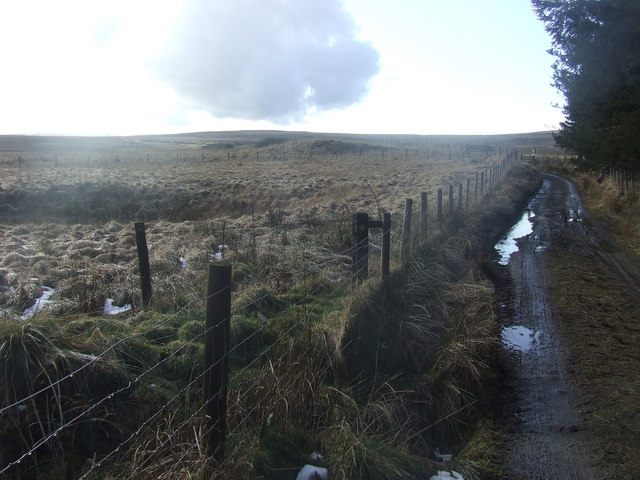
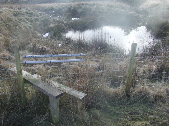
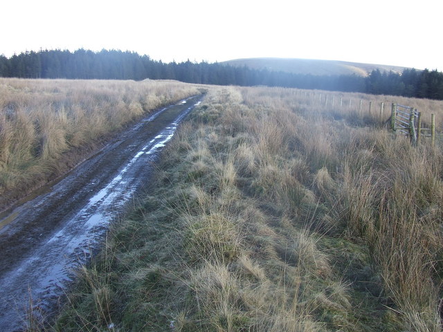
The valley is characterized by its lush green landscapes, meandering streams, and dense woodlands, creating a haven for wildlife and nature enthusiasts. Simms Clough is home to a diverse range of flora and fauna, including rare bird species, wildflowers, and ancient trees.
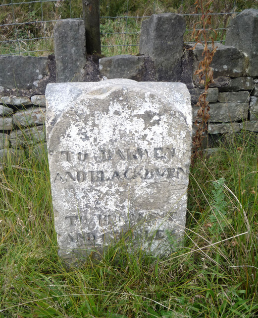
The village of Simms Clough, located within the valley, is a small, tight-knit community that exudes charm and tranquility. The village is composed of traditional stone cottages, some of which date back centuries, giving it a distinct historical feel. The locals are known for their warm hospitality and strong sense of community spirit.
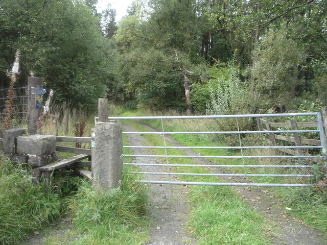
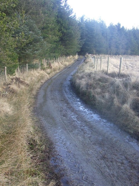
Simms Clough offers a range of outdoor activities for visitors to enjoy. Hiking and walking trails crisscross the valley, providing opportunities to explore the stunning countryside and take in panoramic views. The valley is also a popular spot for birdwatching, with several bird hides strategically placed for optimal viewing.
For those seeking a taste of local culture, Simms Clough hosts an annual summer fair, showcasing traditional crafts, local produce, and live music. The fair is a highlight for both locals and tourists, providing a vibrant atmosphere and a chance to experience the rich heritage of the valley.
In conclusion, Simms Clough, Lancashire, is a hidden gem within the county, offering natural beauty, tranquility, and a strong sense of community. Whether you are a nature lover, outdoor enthusiast, or simply seeking a peaceful retreat, Simms Clough has something to offer everyone.
If you have any feedback on the listing, please let us know in the comments section below.
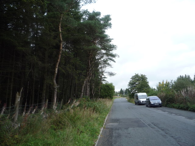
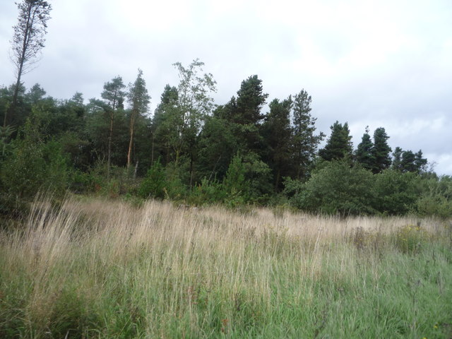
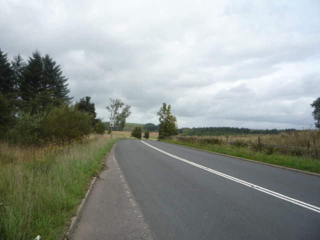
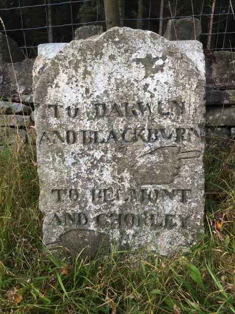
Simms Clough Images
Images are sourced within 2km of 53.65634/-2.4332199 or Grid Reference SD7117. Thanks to Geograph Open Source API. All images are credited.
Simms Clough is located at Grid Ref: SD7117 (Lat: 53.65634, Lng: -2.4332199)
Unitary Authority: Blackburn with Darwen
Police Authority: Lancashire
What 3 Words
///mock.bead.limiting. Near Edgworth, Lancashire
Related Wikis

Yarnsdale
Yarnsdale is a dale or valley in Lancashire. The name is derived from the heron or hern.It contains a small sandstone quarry, also known as Cadshaw Quarry...
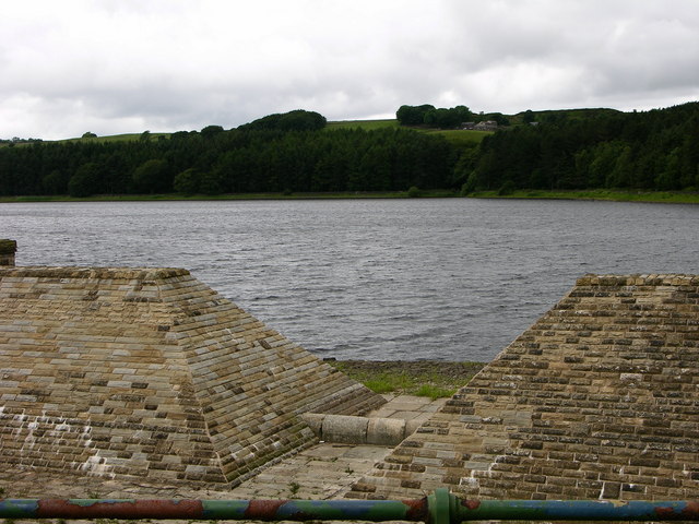
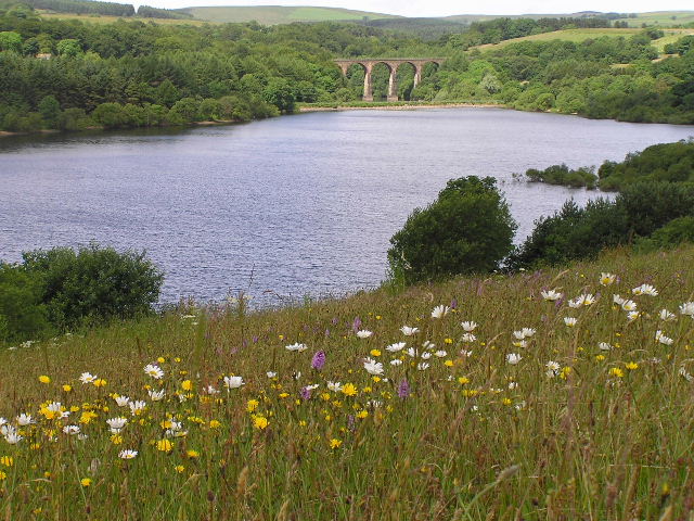
Turton and Entwistle Reservoir
Turton and Entwistle Reservoir is a water reservoir in the village of Edgworth, Lancashire, England. The reservoir's existence is due to the Entwistle...
West Pennine Moors
The West Pennine Moors is an area of the Pennines covering approximately 90 square miles (230 km2) of moorland and reservoirs in Lancashire and Greater...
Cadshaw
Cadshaw is a village in the unitary borough of Blackburn with Darwen, in Lancashire, England.
Nearby Amenities
Located within 500m of 53.65634,-2.4332199Have you been to Simms Clough?
Leave your review of Simms Clough below (or comments, questions and feedback).