Simms Meadow Plantation
Wood, Forest in Lancashire
England
Simms Meadow Plantation
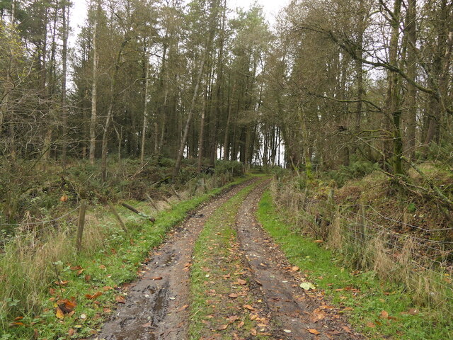
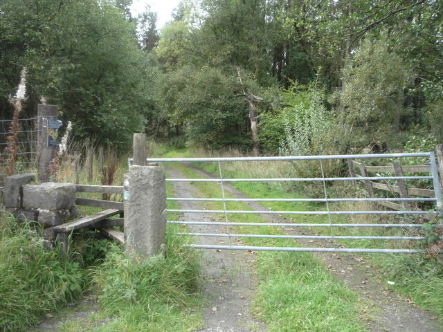
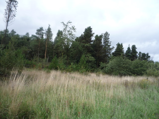
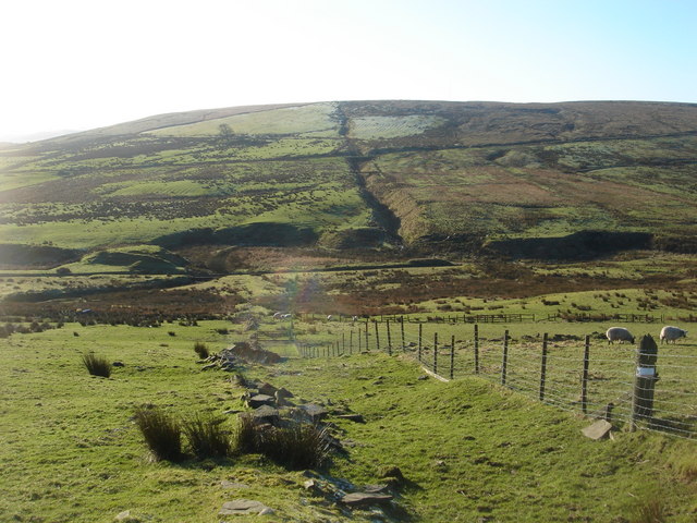
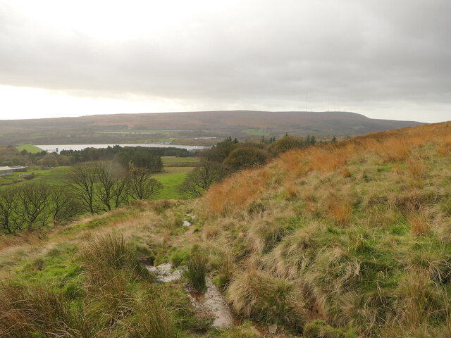
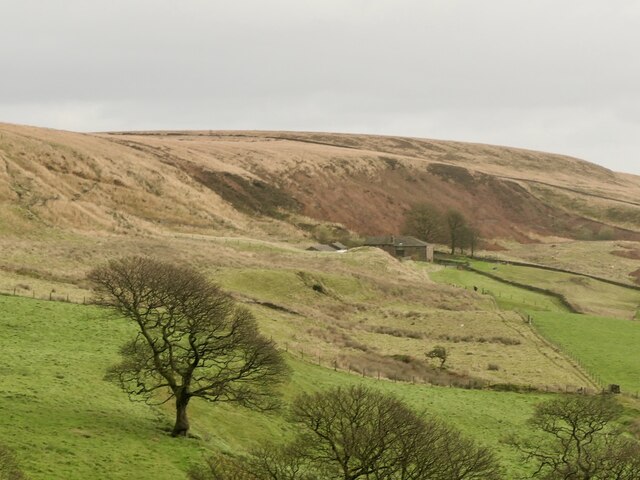
Simms Meadow Plantation is a sprawling woodland located in the picturesque county of Lancashire, England. Covering an area of approximately 200 acres, this enchanting plantation is renowned for its lush greenery and abundant wildlife, making it a haven for nature enthusiasts and outdoor adventurers.
The woodland is predominantly composed of native tree species, including oak, beech, and ash, which create a diverse and vibrant ecosystem. The dense canopy provides ample shade and shelter, attracting a wide variety of bird species such as woodpeckers, owls, and thrushes. Additionally, the forest floor is adorned with a rich tapestry of wildflowers, ferns, and mosses, adding to the area's natural beauty and ecological significance.
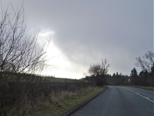
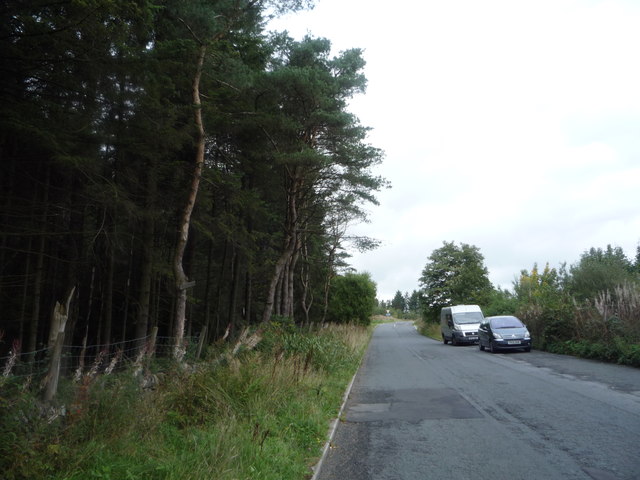
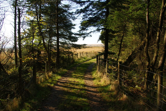
Simms Meadow Plantation offers numerous walking trails and pathways, allowing visitors to explore the woodland at their own pace. These well-maintained routes meander through the forest, taking visitors past tranquil ponds, babbling brooks, and picturesque meadows. The plantation is also home to a small picnic area, providing a perfect spot for visitors to relax and enjoy the serene surroundings.
Nature lovers will appreciate the abundance of wildlife that call Simms Meadow Plantation home. Squirrels dart through the treetops, while rabbits and foxes can often be spotted darting through the undergrowth. The plantation is also home to elusive creatures such as badgers and deer, adding an element of excitement and mystery to any visit.
Simms Meadow Plantation, with its natural charm and unspoiled beauty, offers a tranquil escape from the hustle and bustle of everyday life. Whether it's a leisurely stroll, birdwatching, or simply immersing oneself in nature, this Lancashire woodland promises a rejuvenating and memorable experience for all who visit.
If you have any feedback on the listing, please let us know in the comments section below.
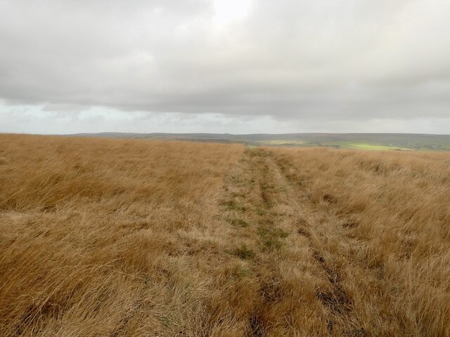
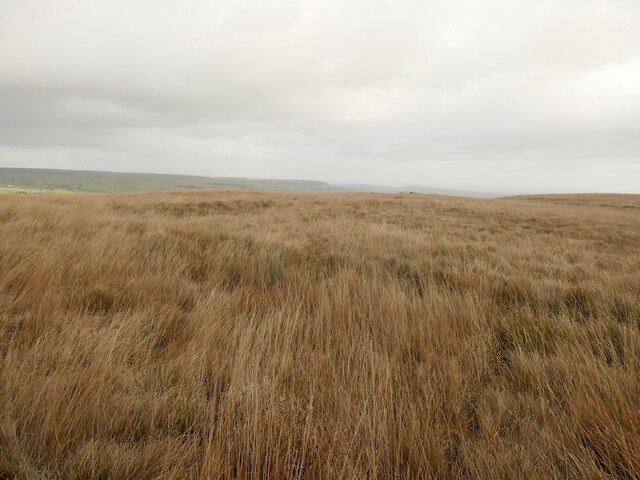
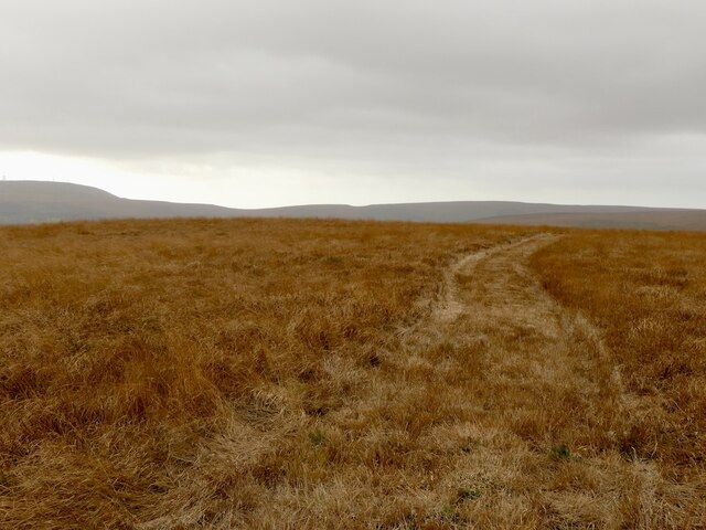
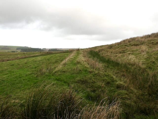
Simms Meadow Plantation Images
Images are sourced within 2km of 53.655588/-2.4299591 or Grid Reference SD7117. Thanks to Geograph Open Source API. All images are credited.


Simms Meadow Plantation is located at Grid Ref: SD7117 (Lat: 53.655588, Lng: -2.4299591)
Unitary Authority: Blackburn with Darwen
Police Authority: Lancashire
What 3 Words
///unwraps.heaven.pancakes. Near Edgworth, Lancashire
Related Wikis
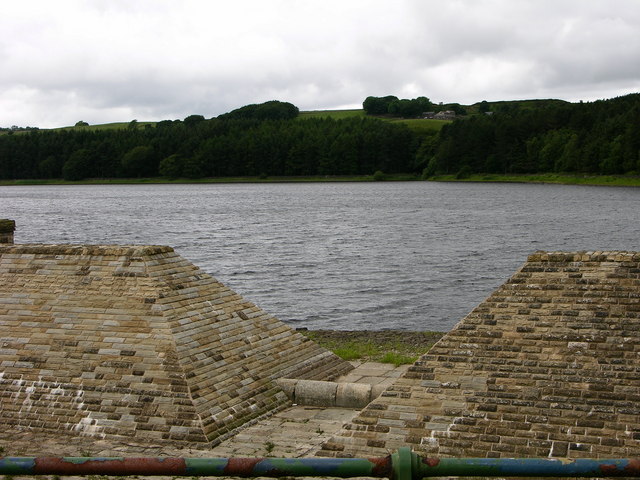
Turton and Entwistle Reservoir
Turton and Entwistle Reservoir is a water reservoir in the village of Edgworth, Lancashire, England. The reservoir's existence is due to the Entwistle...

Yarnsdale
Yarnsdale is a dale or valley in Lancashire. The name is derived from the heron or hern.It contains a small sandstone quarry, also known as Cadshaw Quarry...
West Pennine Moors
The West Pennine Moors is an area of the Pennines covering approximately 90 square miles (230 km2) of moorland and reservoirs in Lancashire and Greater...

Entwistle railway station
Entwistle railway station (first opened in 1848) is 5+3⁄4 miles (9.3 km) north of Bolton and serves the village of Entwistle. It is also the closest station...
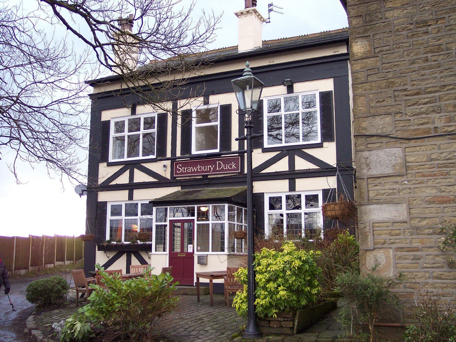
Entwistle, Lancashire
Entwistle is a village in the Blackburn with Darwen unitary authority in Lancashire in the north west of England. Its name derives from the Old English...
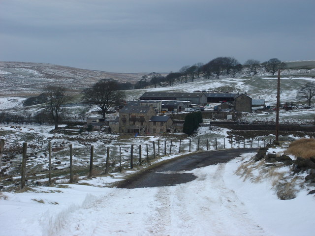
Cadshaw
Cadshaw is a village in the unitary borough of Blackburn with Darwen, in Lancashire, England.

Whittlestone Head railway station
Whittlestone Head railway station served the hamlet of Whittlestone Head, Lancashire, England, in 1848 on the Blackburn, Darwen and Bolton Railway. �...
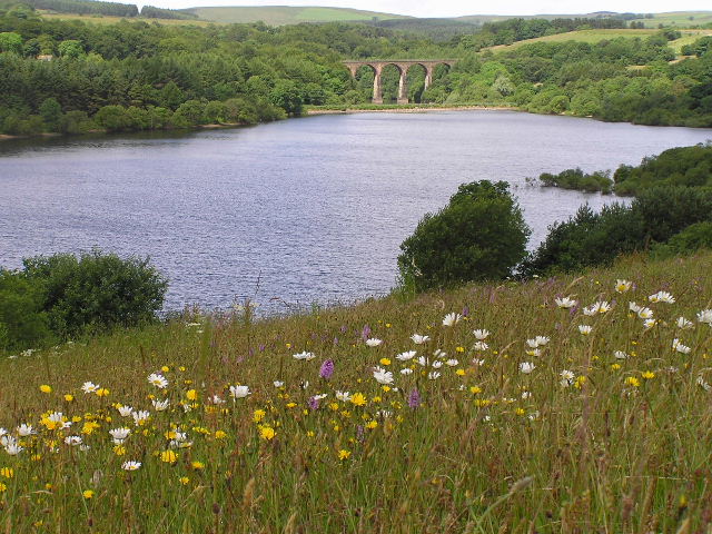
Wayoh Reservoir
Wayoh Reservoir is a water reservoir in the town of Edgworth, Lancashire, England. It was completed on 28 April 1876 to supply water to Bolton. Wayoh,...
Nearby Amenities
Located within 500m of 53.655588,-2.4299591Have you been to Simms Meadow Plantation?
Leave your review of Simms Meadow Plantation below (or comments, questions and feedback).