Fox Hill

Hill, Mountain in Lancashire

England

Fox Hill

Track  through Charter's Moss Plantation
Track through Charter's Moss Plantation Credit: Richard Webb

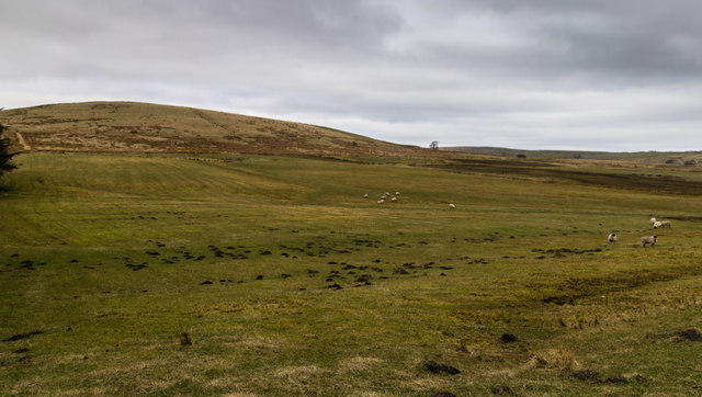
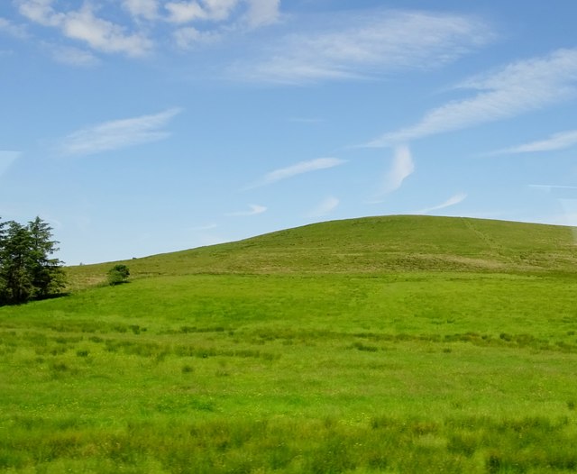
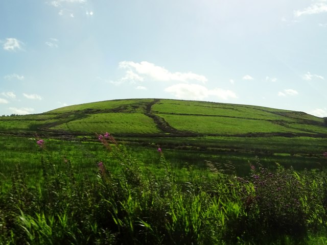
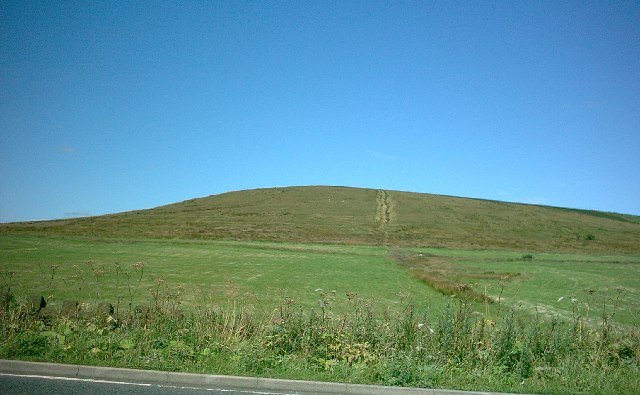
Fox Hill, located in Lancashire, is a picturesque hill situated in the northwest region of England. Standing at an elevation of approximately 314 meters (1,030 feet), it is classified as a hill rather than a mountain due to its height. The hill offers breathtaking panoramic views of the surrounding countryside and is a popular destination for hikers and nature enthusiasts.

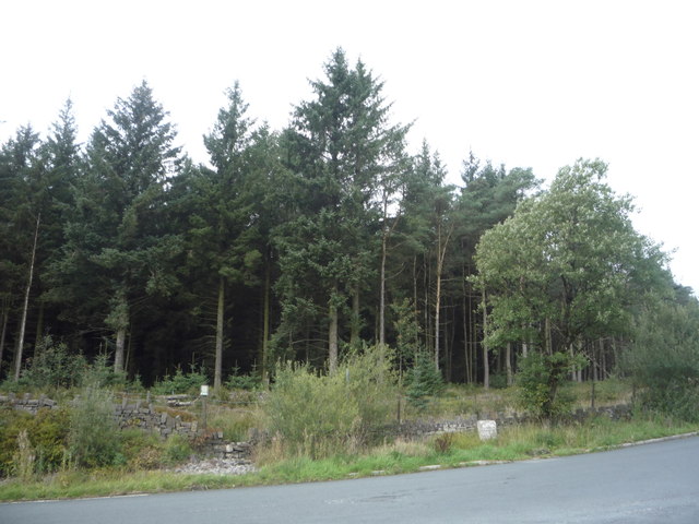
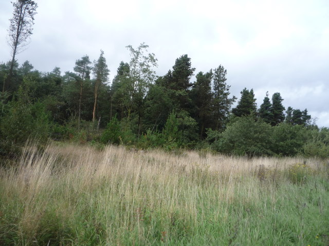
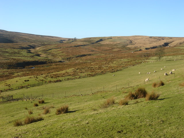
The hill is characterized by its lush green landscapes, adorned with a variety of flora and fauna. It is home to a diverse range of plant species, including heather, bracken, and wildflowers, which create a vibrant and colorful tapestry across the hillside. The area is also abundant in wildlife, with sightings of rabbits, deer, and various bird species common to the region.

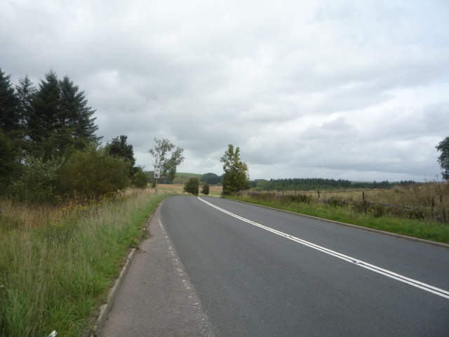
Visitors to Fox Hill can enjoy a network of well-maintained footpaths and trails that traverse the hill, providing opportunities for leisurely walks, challenging hikes, or peaceful picnics amidst the natural beauty. The hill is also a favorite spot for paragliding enthusiasts, who take advantage of the favorable wind conditions and expansive views.

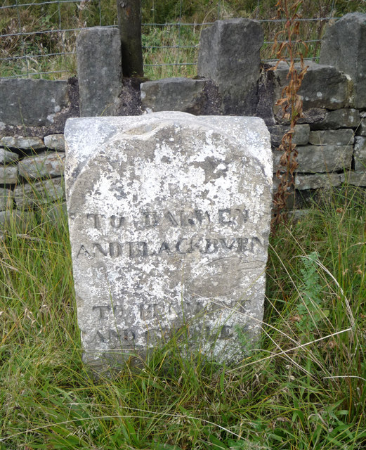
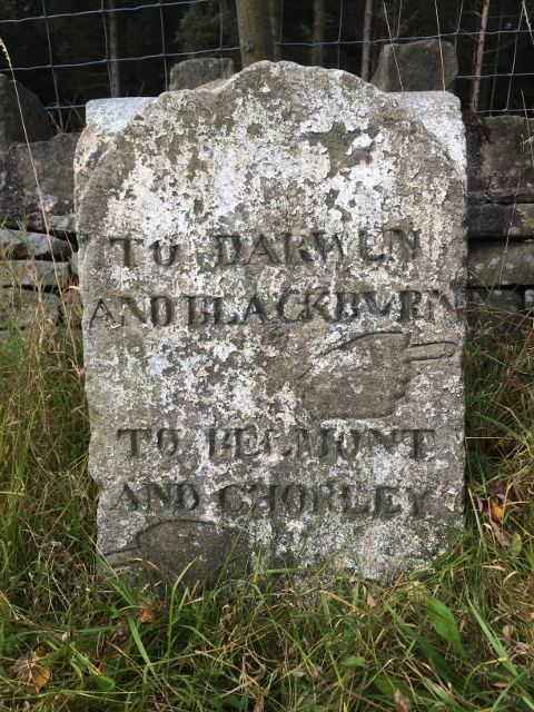
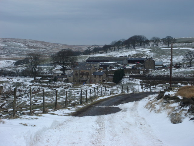
Steeped in history, Fox Hill has been an integral part of the local community for centuries. It has witnessed a range of human activities, from farming and mining to recreational pursuits. The hill's name is believed to stem from the presence of foxes in the area, which were historically hunted by local residents.

Overall, Fox Hill in Lancashire offers a captivating blend of natural beauty, recreational opportunities, and historical significance. Its stunning vistas, abundant wildlife, and diverse plant life make it a must-visit destination for those seeking a tranquil escape into the great outdoors.

If you have any feedback on the listing, please let us know in the comments section below.
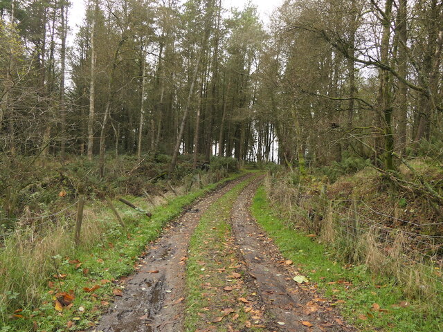
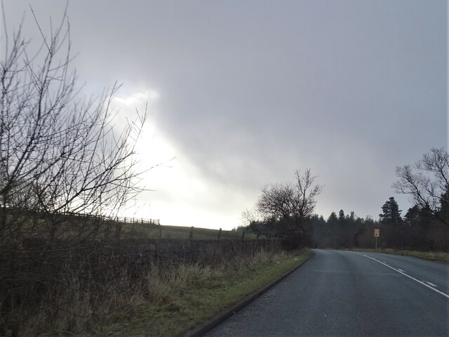
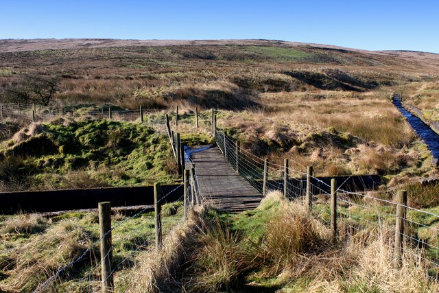
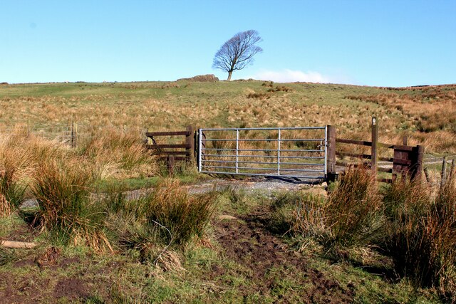
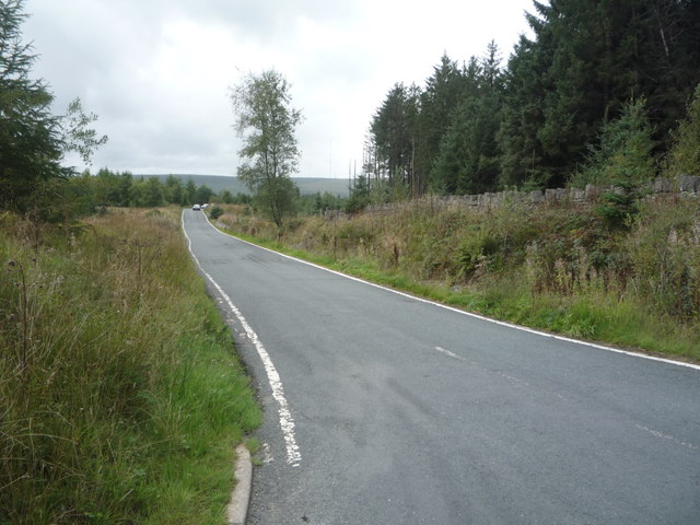
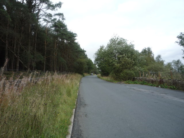
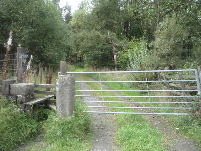
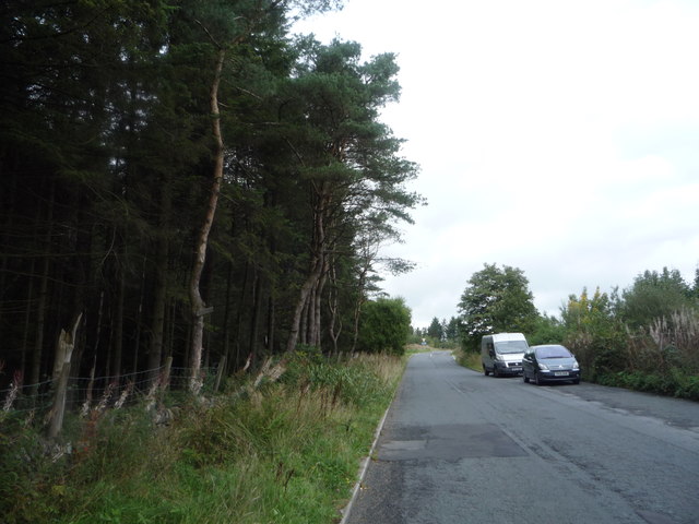
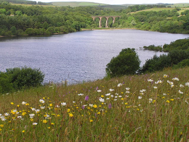
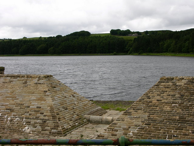
Fox Hill Images

Images are sourced within 2km of 53.657575/-2.4372424 or Grid Reference SD7117. Thanks to Geograph Open Source API. All images are credited.

Track  through Charter's Moss Plantation
Track through Charter's Moss Plantation
Sunlight breaking through A touch of sunlight on a slightly overcast day on the A666 north of Egerton.
Sunlight breaking through
A touch of sunlight on a slightly overcast day on the A666 north of Egerton.
Footbridge over the Upper Reaches of Cadshaw Brook The brook is contained in a purpose built channel as it drains off Turton Moor.
The footbridge is in a state of rot and decay, walkers should approach with care - it will be only a matter of time when some unfortunate individual will crash through into the waters below.
Footbridge over the Upper Reaches of Cadshaw Brook
The brook is contained in a purpose built channel as it drains off Turton Moor. The footbridge is in a state of rot and decay, walkers should approach with care - it will be only a matter of time when some unfortunate individual will crash through into the waters below.
Witton Weavers Way ascending towards Sugar Leach The long distance footpath passes through the gate, before heading uphill over soggy ground.
Witton Weavers Way ascending towards Sugar Leach
The long distance footpath passes through the gate, before heading uphill over soggy ground.
Turton Moor View looking across pastures beneath Turton Moor.
Turton Moor
View looking across pastures beneath Turton Moor.
Moorland in North Turton Looking towards Grindle End.
Moorland in North Turton
Looking towards Grindle End.
Charter's Moss Plantation
Old milestone on junction in front of Charter's Moss Plantation See <a href="https://www.geograph.org.uk/photo/5905061">SD6916 : Charter's Moss Plantation</a> for context.

Top section reads to Darwen and Blackburn.
This was once a more important road than it is today.
Old milestone on junction in front of Charter's Moss Plantation
See SD6916 : Charter's Moss Plantation for context. Top section reads to Darwen and Blackburn. This was once a more important road than it is today.
Stones Bank Road through Charter's Moss Plantation Looking south west.
Stones Bank Road through Charter's Moss Plantation
Looking south west.
Stones Bank Road towards the A666 Looking north beside Charter's Moss Plantation.
Stones Bank Road towards the A666
Looking north beside Charter's Moss Plantation.
Track and footpath off Stones Bank Road
Stones Bank Road towards the A666 Looking north beside Charter's Moss Plantation.
Stones Bank Road towards the A666
Looking north beside Charter's Moss Plantation.
Charter's Moss Plantation
Blackburn Road (A666) towards Darwen Looking north east.
Blackburn Road (A666) towards Darwen
Looking north east.
Old Guide Stone by Stones Bank Road, North Turton parish Guide Stone by the UC road (was A666), in parish of North Turton (Blackburn with Darwen District), Charter's Moss Plantation, Stones Bank Road, at junction.

Inscription reads:-
TO DARWEN
AND BLACKBURN
{hand->}
TO BELMONT
AND CHORLEY
{<-hand}

Grade II listed.
List Entry Number: 1260137 <span class="nowrap"><a title="https://historicengland.org.uk/listing/the-list/list-entry/1260137" rel="nofollow ugc noopener" href="https://historicengland.org.uk/listing/the-list/list-entry/1260137">Link</a><img style="margin-left:2px;" alt="External link" title="External link - shift click to open in new window" src="https://s1.geograph.org.uk/img/external.png" width="10" height="10"/></span>

Surveyed

Milestone Society National ID: LA_XNTU
Old Guide Stone by Stones Bank Road, North Turton parish
Guide Stone by the UC road (was A666), in parish of North Turton (Blackburn with Darwen District), Charter's Moss Plantation, Stones Bank Road, at junction. Inscription reads:- TO DARWEN AND BLACKBURN {hand->} TO BELMONT AND CHORLEY {<-hand} Grade II listed. List Entry Number: 1260137 LinkExternal link Surveyed Milestone Society National ID: LA_XNTU
Grindle End A hill on Turton Moor, viewed from the A666.
Grindle End
A hill on Turton Moor, viewed from the A666.
Turton Moor, Grindle End Taken from the A666 looking NW. The reference is for the point where the line feature nears the apparent summit.
For those interested, there are some former tramways, shown on the Explorer Series OS, to the left of the hill.
Turton Moor, Grindle End
Taken from the A666 looking NW. The reference is for the point where the line feature nears the apparent summit. For those interested, there are some former tramways, shown on the Explorer Series OS, to the left of the hill.
Stream coming down from Turton Moor near A666 at Cadshaw Seen from Witton Weavers Way.
Stream coming down from Turton Moor near A666 at Cadshaw
Seen from Witton Weavers Way.
Show me another place!

Fox Hill is located at Grid Ref: SD7117 (Lat: 53.657575, Lng: -2.4372424)

Unitary Authority: Blackburn with Darwen

Police Authority: Lancashire

What 3 Words

///smothered.mirroring.parade. Near Edgworth, Lancashire

Related Wikis

Yarnsdale

Yarnsdale is a dale or valley in Lancashire. The name is derived from the heron or hern.It contains a small sandstone quarry, also known as Cadshaw Quarry...

West Pennine Moors

The West Pennine Moors is an area of the Pennines covering approximately 90 square miles (230 km2) of moorland and reservoirs in Lancashire and Greater...

Cadshaw

Cadshaw is a village in the unitary borough of Blackburn with Darwen, in Lancashire, England.

Turton and Entwistle Reservoir

Turton and Entwistle Reservoir is a water reservoir in the village of Edgworth, Lancashire, England. The reservoir's existence is due to the Entwistle...

Nearby Amenities

Located within 500m of 53.657575,-2.4372424
Barrier: stile
Foot: yes
Lat/Long: 53.6556327/-2.4416107
Barrier: stile
Foot: yes
Lat/Long: 53.6555601/-2.4418773
The data included in this document is from www.openstreetmap.org. The data is made available under ODbL.

Have you been to Fox Hill?

Leave your review of Fox Hill below (or comments, questions and feedback).