Kip Law
Hill, Mountain in Northumberland
England
Kip Law
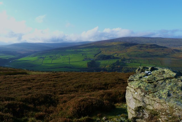
Kip Law is a prominent hill located in the county of Northumberland, England. It is situated near the village of West Woodburn, approximately 25 miles northwest of Newcastle upon Tyne. Rising to an elevation of 456 meters (1,496 feet), Kip Law is considered one of the highest peaks in the area and offers breathtaking panoramic views of the surrounding countryside.
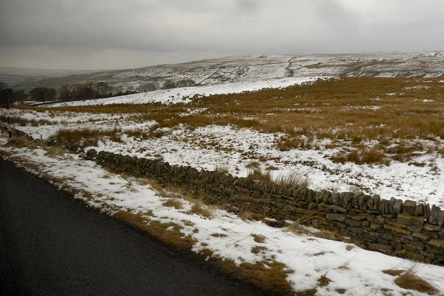
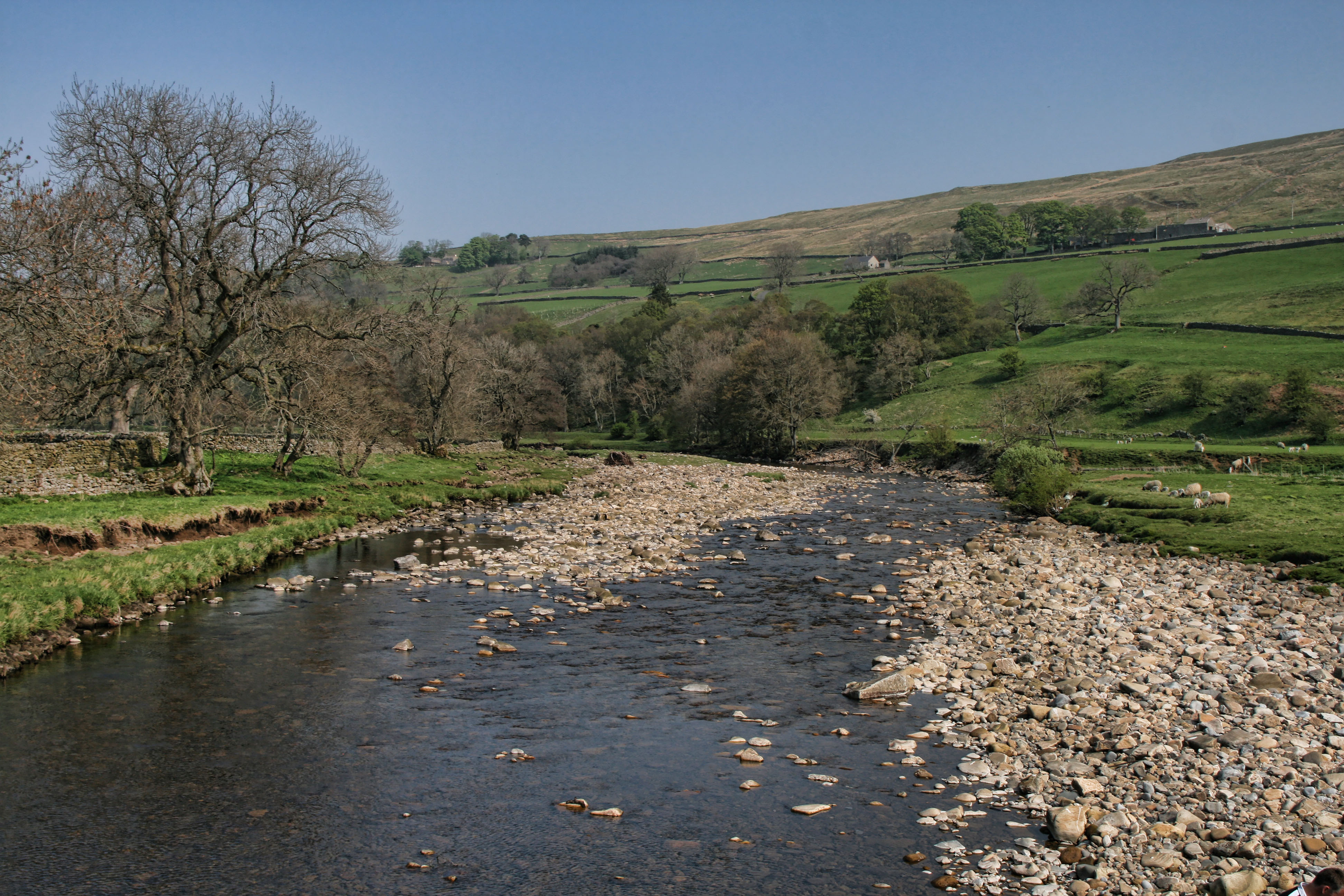
The hill is part of the North Pennines Area of Outstanding Natural Beauty, renowned for its rugged and unspoiled landscapes. Kip Law is characterized by its distinctive cone-shaped summit and steep slopes, covered in heather and grasses. The hill is mainly composed of sandstone, which gives it a unique reddish-brown hue.
Kip Law is a popular destination for outdoor enthusiasts, attracting hikers, walkers, and nature lovers. Several well-marked trails and footpaths traverse the hill, providing opportunities for both challenging hikes and leisurely strolls. On a clear day, visitors can enjoy vistas extending as far as the Cheviot Hills to the north and the Pennine Range to the south.
The area surrounding Kip Law is rich in wildlife, with various species of birds, including buzzards and kestrels, often seen soaring overhead. The hill is also home to a diverse range of flora, with heather, bilberry, and grasses dominating the landscape.
Overall, Kip Law is a remarkable natural feature that offers visitors a chance to immerse themselves in the beauty of Northumberland's countryside, providing a memorable experience for anyone seeking tranquility and stunning vistas.
If you have any feedback on the listing, please let us know in the comments section below.
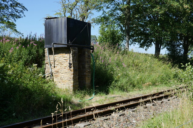
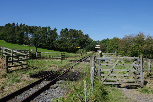
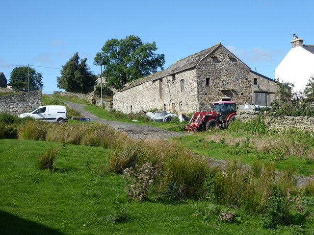
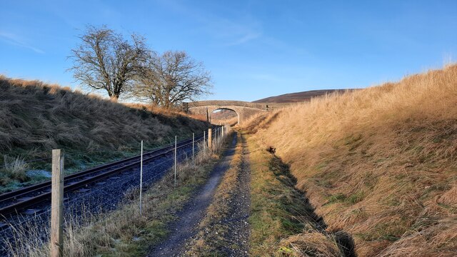
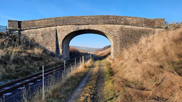
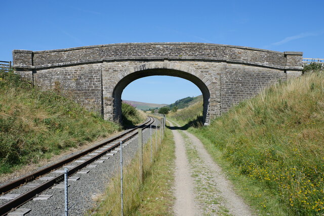
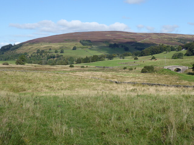
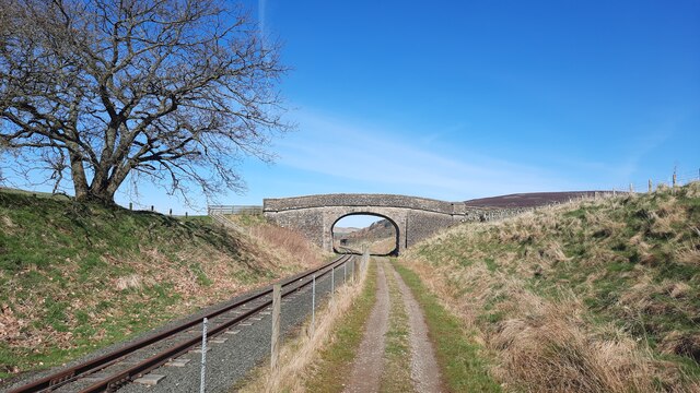
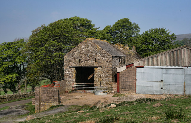
Kip Law Images
Images are sourced within 2km of 54.848595/-2.4500796 or Grid Reference NY7150. Thanks to Geograph Open Source API. All images are credited.


Kip Law is located at Grid Ref: NY7150 (Lat: 54.848595, Lng: -2.4500796)
Unitary Authority: Northumberland
Police Authority: Northumbria
What 3 Words
///punt.delusions.closes. Near Alston, Cumbria
Nearby Locations
Related Wikis

Ayle
Ayle is a village in Northumberland, England, situated to the north of Alston. There are six residences in the hamlet. == Governance == Ayle is in the...
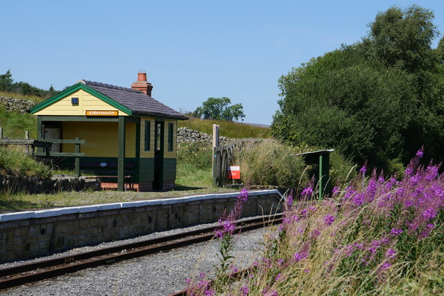
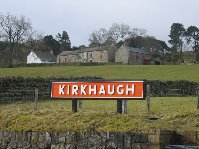
Kirkhaugh
Kirkhaugh is a very small village and former civil parish, now in the parish of Knaresdale with Kirkhaugh, adjacent to the River South Tyne in Northumberland...

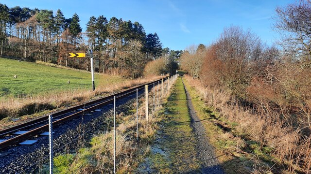
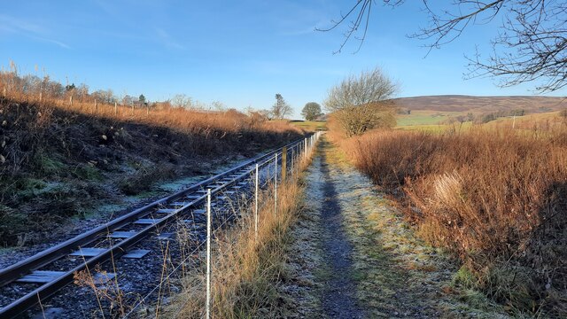
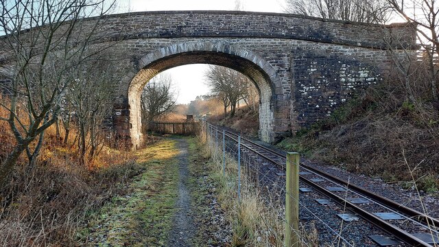
South Tynedale Railway
The South Tynedale Railway is a preserved, 2 ft (610 mm) narrow gauge heritage railway in Northern England and at 875ft is England's second highest narrow...
Kirkhaugh railway station
Kirkhaugh is a railway station on the South Tynedale Railway, which runs between Slaggyford and Alston. The station serves the hamlet of Kirkhaugh in Northumberland...
Nearby Amenities
Located within 500m of 54.848595,-2.4500796Have you been to Kip Law?
Leave your review of Kip Law below (or comments, questions and feedback).