Turton and Entwistle Reservoir
Lake, Pool, Pond, Freshwater Marsh in Lancashire
England
Turton and Entwistle Reservoir
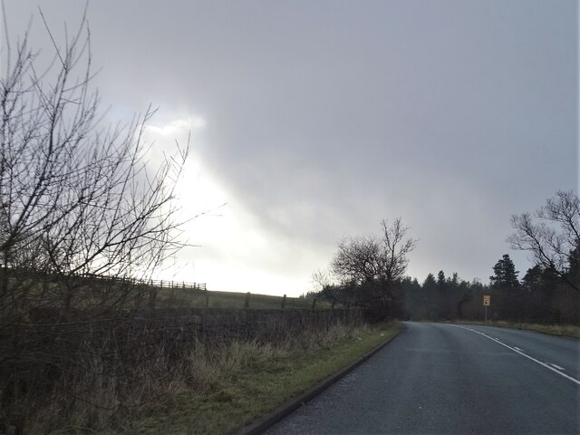
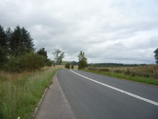
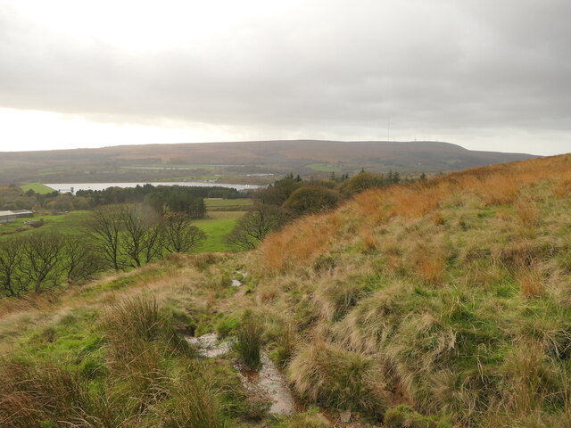
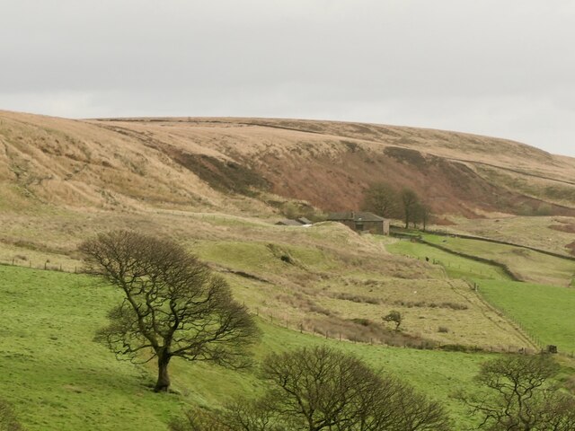
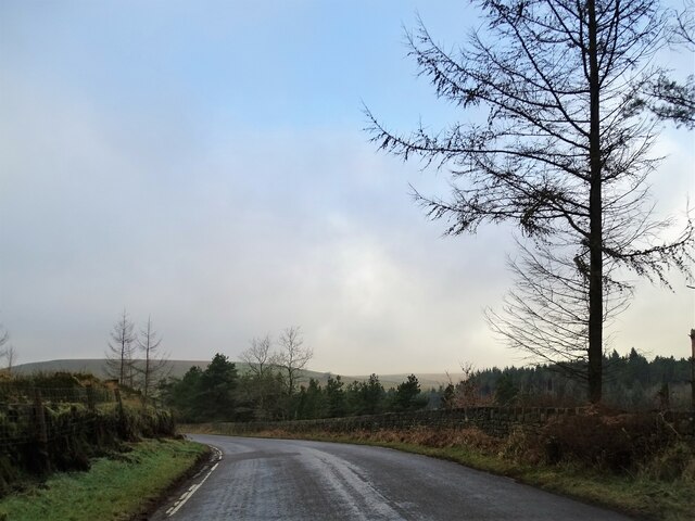
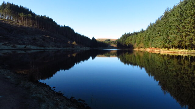
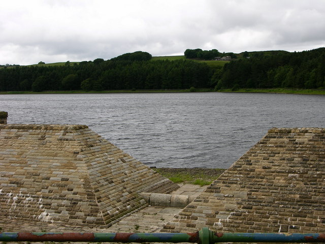
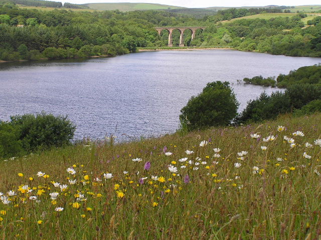
Turton and Entwistle Reservoir is a picturesque body of water located in the county of Lancashire, England. Situated amidst the scenic surroundings of the West Pennine Moors, this reservoir is a popular destination for outdoor enthusiasts and nature lovers alike.
Covering an area of approximately 45 hectares, Turton and Entwistle Reservoir is a man-made lake that was constructed in the late 19th century to provide water supply to the nearby towns of Bolton and Blackburn. The reservoir is fed by the River Wayoh, which flows through the valley and into the lake, ensuring a constant supply of freshwater.
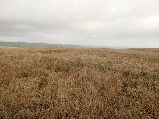
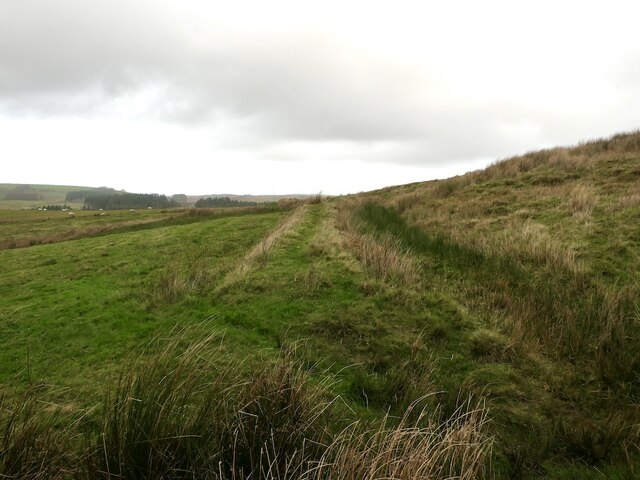
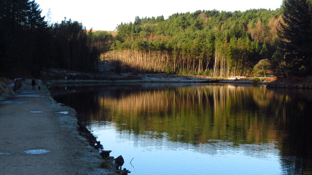
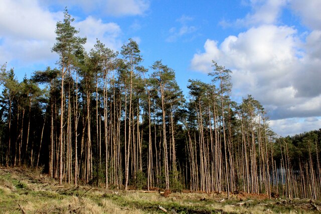
The reservoir boasts a tranquil and serene atmosphere, with its calm waters reflecting the beautiful landscapes that surround it. Lush green hills and woodlands encircle the reservoir, creating a picturesque backdrop for visitors. The area is also home to a diverse range of flora and fauna, making it an ideal spot for birdwatching and wildlife spotting.
The reservoir is a popular spot for recreational activities such as fishing and boating. Anglers are drawn to the lake for its abundance of fish, including trout and pike. Boating enthusiasts can enjoy leisurely cruises or engage in water sports such as kayaking and canoeing.
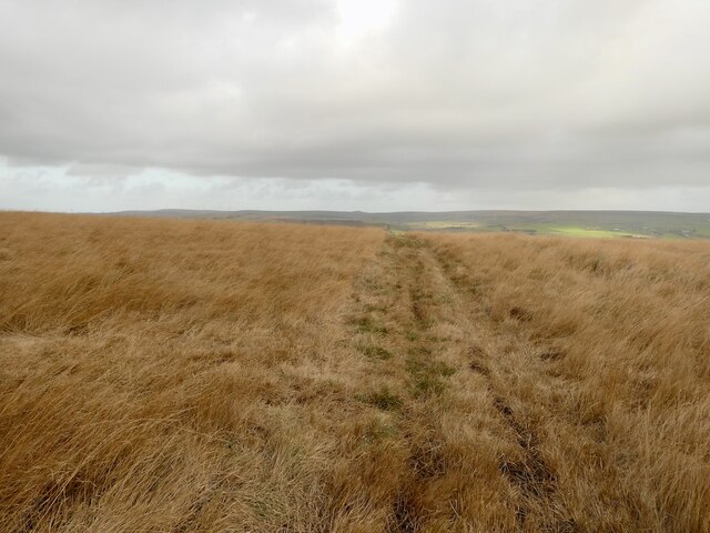
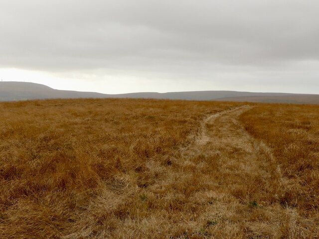
Additionally, Turton and Entwistle Reservoir is a haven for walkers and hikers, with several well-marked trails that meander through the surrounding countryside. These paths offer stunning views of the reservoir and its surroundings, making it a perfect spot for a leisurely stroll or a more challenging hike.
Overall, Turton and Entwistle Reservoir is a scenic and peaceful retreat, offering a range of outdoor activities and a chance to connect with nature in the heart of Lancashire.
If you have any feedback on the listing, please let us know in the comments section below.
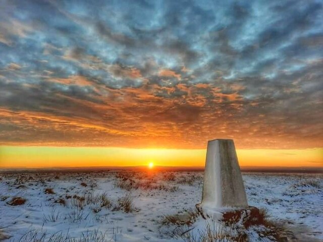
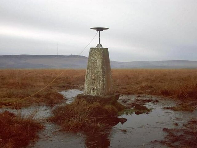
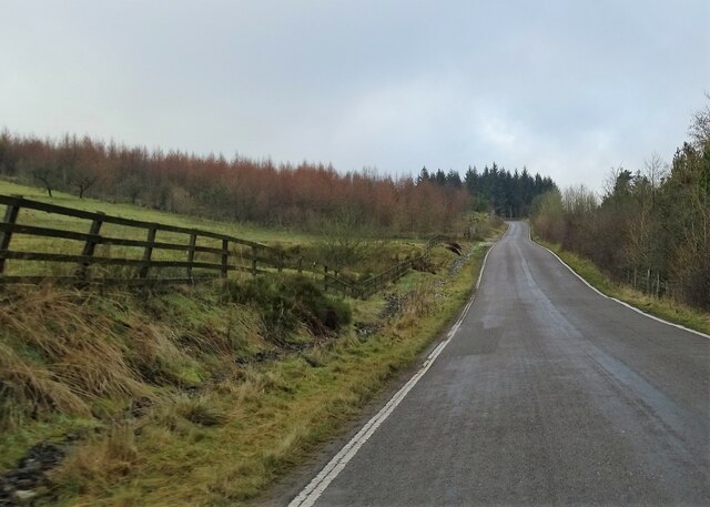
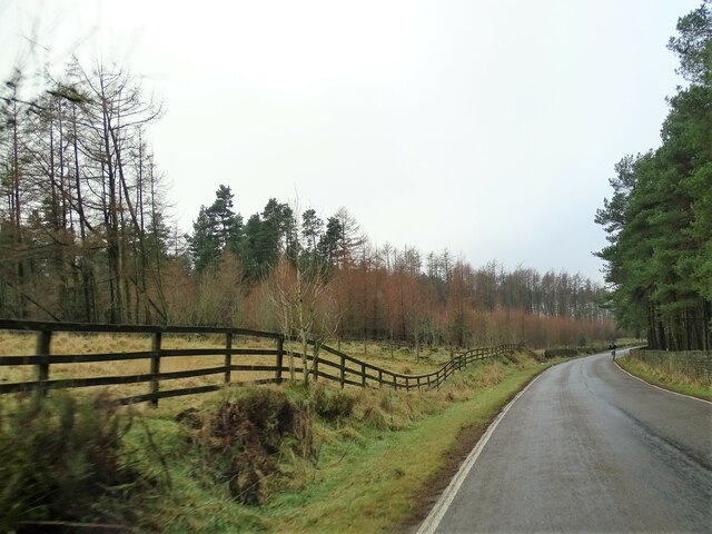
Turton and Entwistle Reservoir Images
Images are sourced within 2km of 53.653426/-2.4262 or Grid Reference SD7117. Thanks to Geograph Open Source API. All images are credited.


Turton and Entwistle Reservoir is located at Grid Ref: SD7117 (Lat: 53.653426, Lng: -2.4262)
Unitary Authority: Blackburn with Darwen
Police Authority: Lancashire
What 3 Words
///bulky.freezers.rankings. Near Edgworth, Lancashire
Related Wikis
Turton and Entwistle Reservoir
Turton and Entwistle Reservoir is a water reservoir in the village of Edgworth, Lancashire, England. The reservoir's existence is due to the Entwistle...

Entwistle railway station
Entwistle railway station (first opened in 1848) is 5+3⁄4 miles (9.3 km) north of Bolton and serves the village of Entwistle. It is also the closest station...
Entwistle, Lancashire
Entwistle is a village in the Blackburn with Darwen unitary authority in Lancashire in the north west of England. Its name derives from the Old English...

Yarnsdale
Yarnsdale is a dale or valley in Lancashire. The name is derived from the heron or hern.It contains a small sandstone quarry, also known as Cadshaw Quarry...
West Pennine Moors
The West Pennine Moors is an area of the Pennines covering approximately 90 square miles (230 km2) of moorland and reservoirs in Lancashire and Greater...
Wayoh Reservoir
Wayoh Reservoir is a water reservoir in the town of Edgworth, Lancashire, England. It was completed on 28 April 1876 to supply water to Bolton. Wayoh,...

Whittlestone Head railway station
Whittlestone Head railway station served the hamlet of Whittlestone Head, Lancashire, England, in 1848 on the Blackburn, Darwen and Bolton Railway. �...
Cadshaw
Cadshaw is a village in the unitary borough of Blackburn with Darwen, in Lancashire, England.
Nearby Amenities
Located within 500m of 53.653426,-2.4262Have you been to Turton and Entwistle Reservoir?
Leave your review of Turton and Entwistle Reservoir below (or comments, questions and feedback).