Fox Hill Plantation
Wood, Forest in Lancashire
England
Fox Hill Plantation
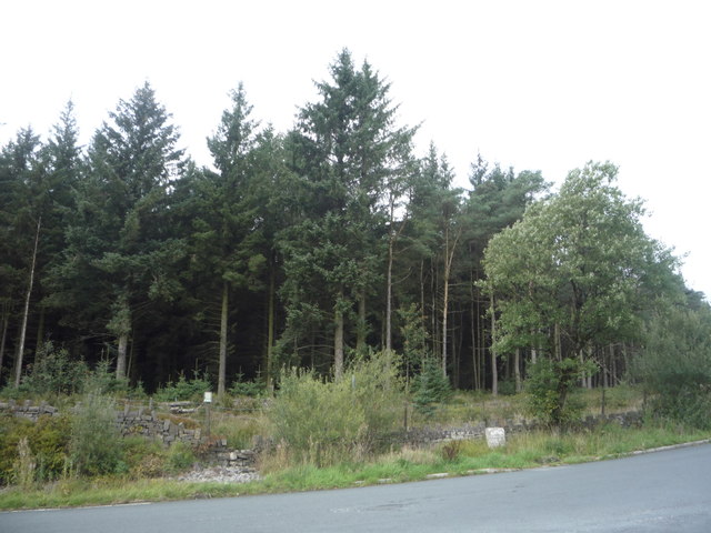
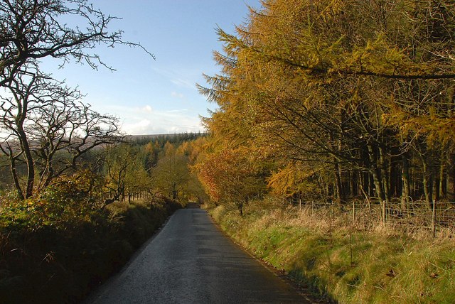
Fox Hill Plantation is a picturesque woodland located in Lancashire, England. Spread across a vast area, this enchanting forest is known for its abundant natural beauty and rich biodiversity. The plantation is situated in the heart of Lancashire, making it easily accessible to nature enthusiasts and visitors alike.
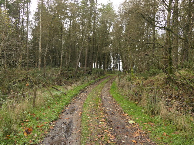
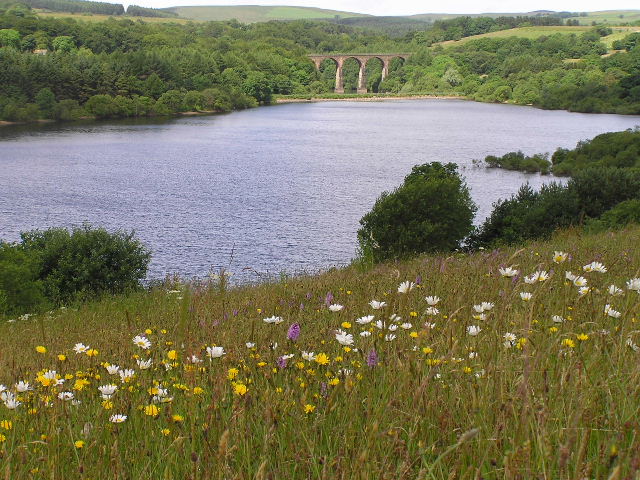
With its towering oak and beech trees, Fox Hill Plantation offers a tranquil escape from the hustle and bustle of city life. The forest floor is carpeted with lush green moss and an array of wildflowers, creating a vibrant and visually appealing landscape. The plantation is home to a variety of wildlife, including deer, foxes, and a diverse range of bird species, making it a popular destination for birdwatchers and nature photographers.
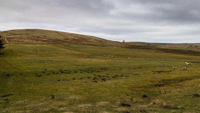
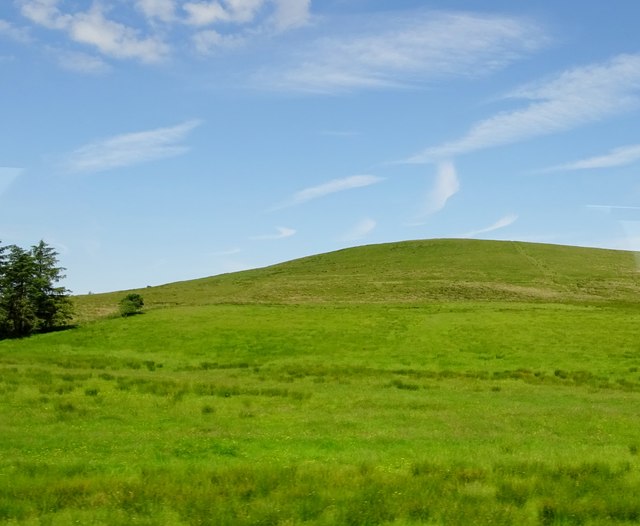
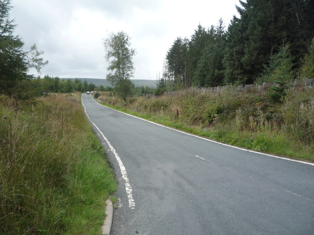
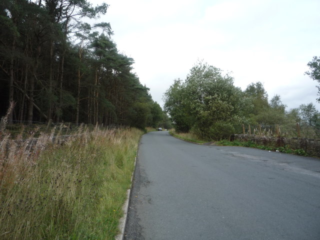
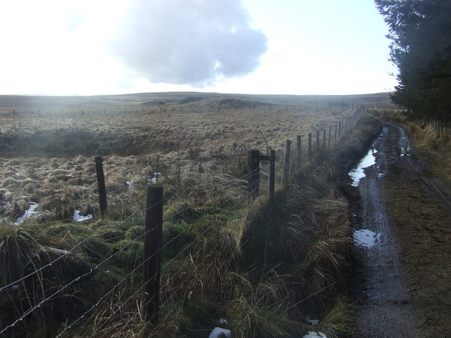
The woodland is crisscrossed by a network of well-maintained walking trails, allowing visitors to explore the plantation at their leisure. The trails lead to breathtaking viewpoints, such as the stunning Fox Hill, which offers panoramic views of the surrounding Lancashire countryside. The plantation also features a small lake, providing a serene spot for picnics and relaxation.
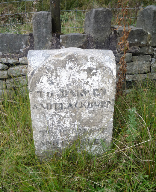
Fox Hill Plantation is not only a haven for nature lovers but also serves as an important ecological site. The woodland is carefully managed to preserve its natural beauty and protect the delicate ecosystem. Conservation efforts are in place to ensure the sustainability of the plantation and to maintain its biodiversity.
In conclusion, Fox Hill Plantation in Lancashire is a captivating woodland that offers a peaceful retreat for visitors. Its stunning landscapes, diverse wildlife, and well-kept trails make it a must-visit destination for those seeking a connection with nature.
If you have any feedback on the listing, please let us know in the comments section below.
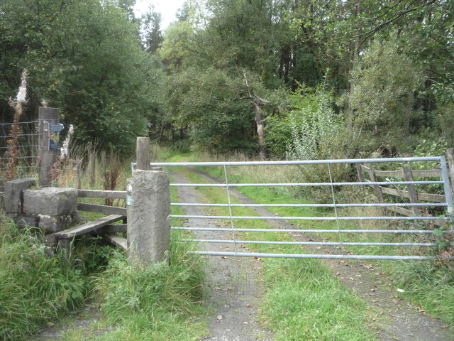
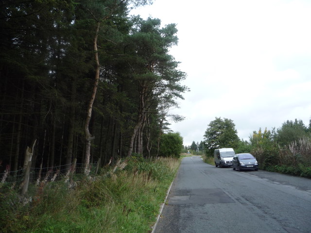
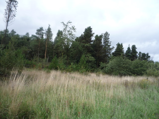
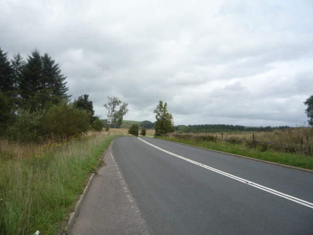
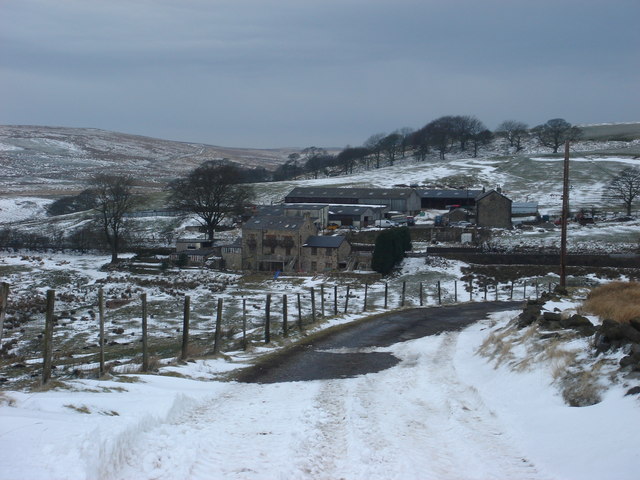
Fox Hill Plantation Images
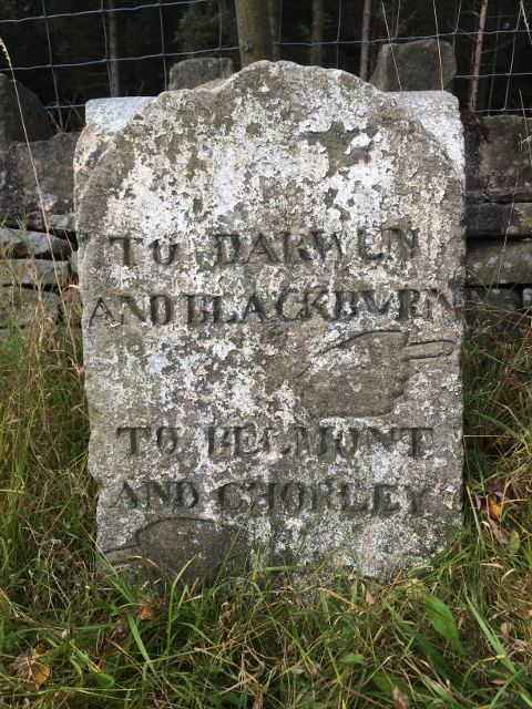
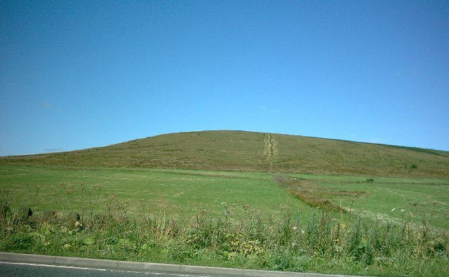
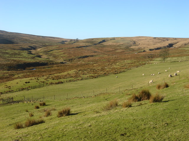
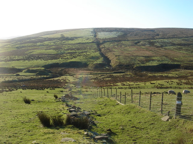
Images are sourced within 2km of 53.65431/-2.4352265 or Grid Reference SD7117. Thanks to Geograph Open Source API. All images are credited.
Fox Hill Plantation is located at Grid Ref: SD7117 (Lat: 53.65431, Lng: -2.4352265)
Unitary Authority: Blackburn with Darwen
Police Authority: Lancashire
What 3 Words
///exacts.hindering.tailwind. Near Edgworth, Lancashire
Related Wikis

Yarnsdale
Yarnsdale is a dale or valley in Lancashire. The name is derived from the heron or hern.It contains a small sandstone quarry, also known as Cadshaw Quarry...
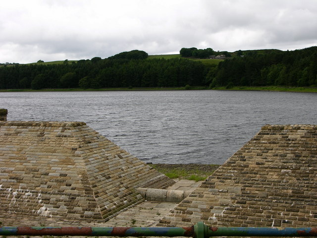
Turton and Entwistle Reservoir
Turton and Entwistle Reservoir is a water reservoir in the village of Edgworth, Lancashire, England. The reservoir's existence is due to the Entwistle...
West Pennine Moors
The West Pennine Moors is an area of the Pennines covering approximately 90 square miles (230 km2) of moorland and reservoirs in Lancashire and Greater...
Cadshaw
Cadshaw is a village in the unitary borough of Blackburn with Darwen, in Lancashire, England.
Nearby Amenities
Located within 500m of 53.65431,-2.4352265Have you been to Fox Hill Plantation?
Leave your review of Fox Hill Plantation below (or comments, questions and feedback).