Lower House Plantation
Wood, Forest in Lancashire
England
Lower House Plantation
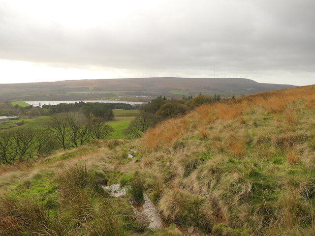
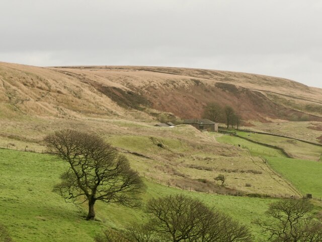
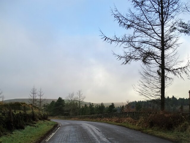
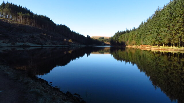
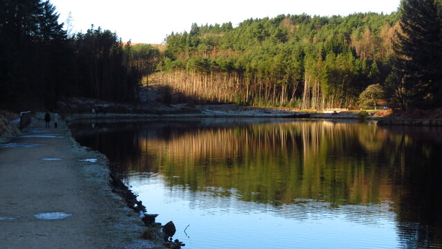
Lower House Plantation is a charming woodland located in the county of Lancashire, England. Spread across a vast stretch of land, this plantation is a haven for nature enthusiasts and offers a tranquil escape from the bustling city life.
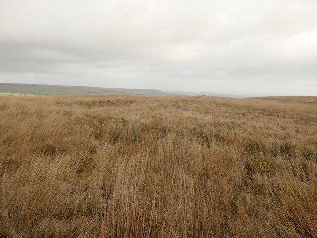
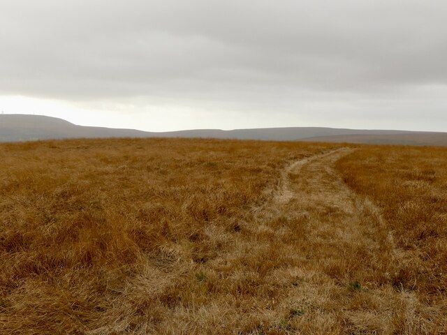
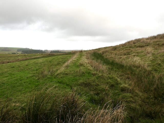
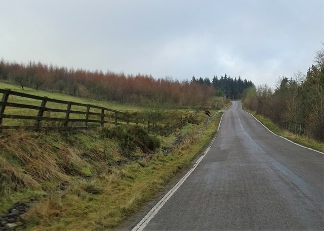
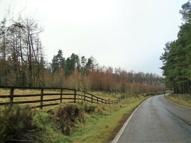
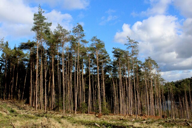
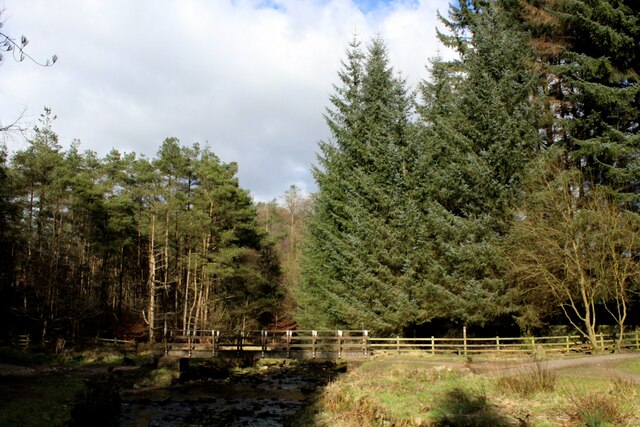
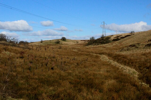
The plantation is primarily composed of a dense forest, rich in various species of trees such as oak, birch, and beech. The lush greenery creates a serene and picturesque environment, attracting visitors from all over the region. Walking through the plantation, visitors can admire the natural beauty and enjoy the soothing sounds of birds chirping and leaves rustling.
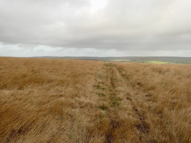
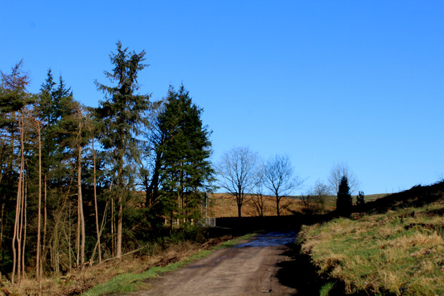
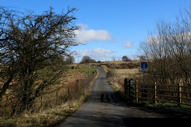
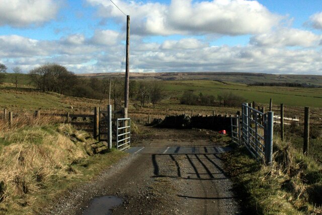
Lower House Plantation is known for its well-maintained trails that allow visitors to explore the area at their own pace. These trails wind through the forest, offering glimpses of enchanting flora and fauna along the way. The plantation is also home to a diverse range of wildlife, including deer, rabbits, and various bird species, making it a popular spot for wildlife enthusiasts and photographers.
In addition to its natural beauty, Lower House Plantation offers various recreational activities. There are designated picnic areas where families and friends can gather for a day out in nature. The plantation also provides opportunities for outdoor sports like hiking, cycling, and horseback riding, allowing visitors to fully immerse themselves in the stunning surroundings.
Overall, Lower House Plantation is a hidden gem in Lancashire, offering a peaceful retreat for individuals seeking solace in nature. With its breathtaking landscapes, abundant wildlife, and recreational facilities, it is a must-visit destination for anyone looking to reconnect with the great outdoors.
If you have any feedback on the listing, please let us know in the comments section below.
Lower House Plantation Images
Images are sourced within 2km of 53.656009/-2.4253787 or Grid Reference SD7117. Thanks to Geograph Open Source API. All images are credited.
Lower House Plantation is located at Grid Ref: SD7117 (Lat: 53.656009, Lng: -2.4253787)
Unitary Authority: Blackburn with Darwen
Police Authority: Lancashire
What 3 Words
///cadet.heavy.enlarge. Near Edgworth, Lancashire
Related Wikis
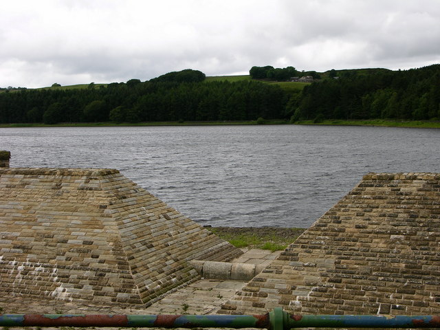
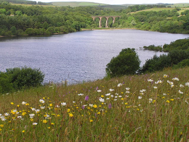
Turton and Entwistle Reservoir
Turton and Entwistle Reservoir is a water reservoir in the village of Edgworth, Lancashire, England. The reservoir's existence is due to the Entwistle...

Entwistle railway station
Entwistle railway station (first opened in 1848) is 5+3⁄4 miles (9.3 km) north of Bolton and serves the village of Entwistle. It is also the closest station...
Entwistle, Lancashire
Entwistle is a village in the Blackburn with Darwen unitary authority in Lancashire in the north west of England. Its name derives from the Old English...
West Pennine Moors
The West Pennine Moors is an area of the Pennines covering approximately 90 square miles (230 km2) of moorland and reservoirs in Lancashire and Greater...
Nearby Amenities
Located within 500m of 53.656009,-2.4253787Have you been to Lower House Plantation?
Leave your review of Lower House Plantation below (or comments, questions and feedback).