Bishop's Wood

Wood, Forest in Shropshire

England

Bishop's Wood

Cliff Railway from Low Town to High Town, Bridgnorth, Shropshire
Cliff Railway from Low Town to High Town, Bridgnorth, Shropshire Credit: Paul Russon

Bishop's Wood is a picturesque woodland area located in the county of Shropshire, England. Covering an area of approximately 500 acres, this ancient forest is renowned for its natural beauty and diverse flora and fauna.

The woodland is predominantly composed of mature oak and birch trees, creating a dense canopy that provides a haven for various species of birds, mammals, and insects. It is home to a rich array of wildlife, including deer, badgers, foxes, and numerous species of birds, making it a popular destination for nature enthusiasts and birdwatchers.

Bishop's Wood offers visitors a range of walking trails, allowing them to explore the forest and discover its hidden gems. The paths wind through the woodland, offering glimpses of babbling brooks, ancient moss-covered rocks, and vibrant wildflowers. The peaceful atmosphere and tranquil surroundings make it an idyllic spot for a leisurely stroll or a picnic with family and friends.

The forest is also steeped in history, with ancient archaeological remains found within its boundaries. These include remnants of Iron Age settlements and Roman encampments, providing a fascinating glimpse into the area's past.

In recent years, Bishop's Wood has become a hub for environmental education and conservation. Various organizations and local schools use the woodland as an outdoor classroom, promoting environmental awareness and offering educational programs for students of all ages.

Overall, Bishop's Wood is a remarkable natural treasure that showcases the stunning beauty of Shropshire's countryside. With its diverse wildlife, scenic trails, and rich history, it offers a truly immersive and enriching experience for visitors.

If you have any feedback on the listing, please let us know in the comments section below.

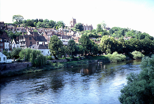
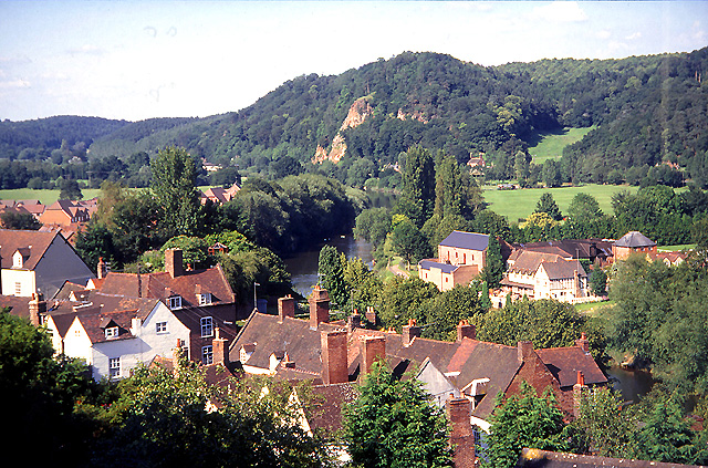
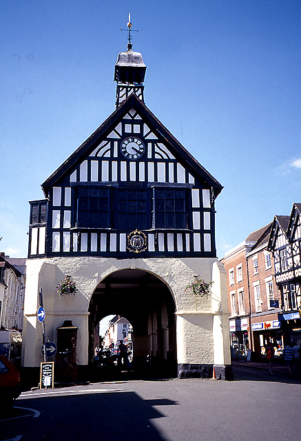
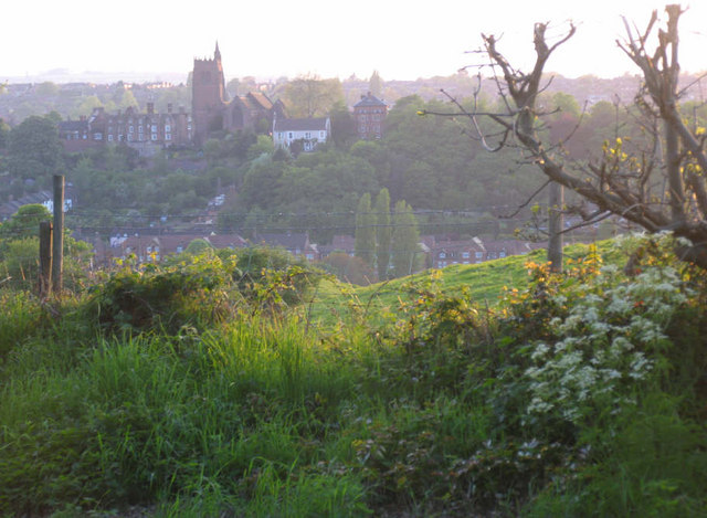
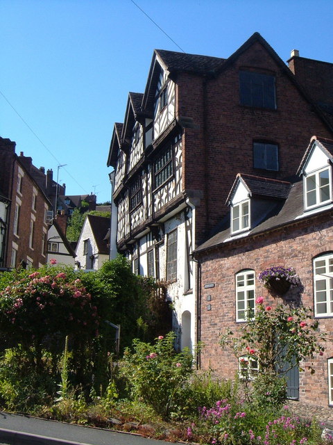
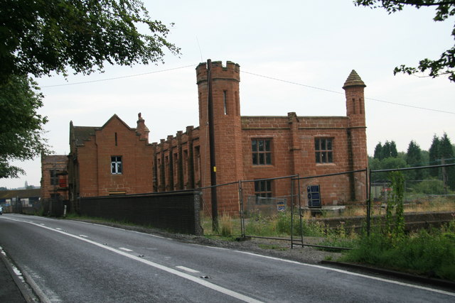
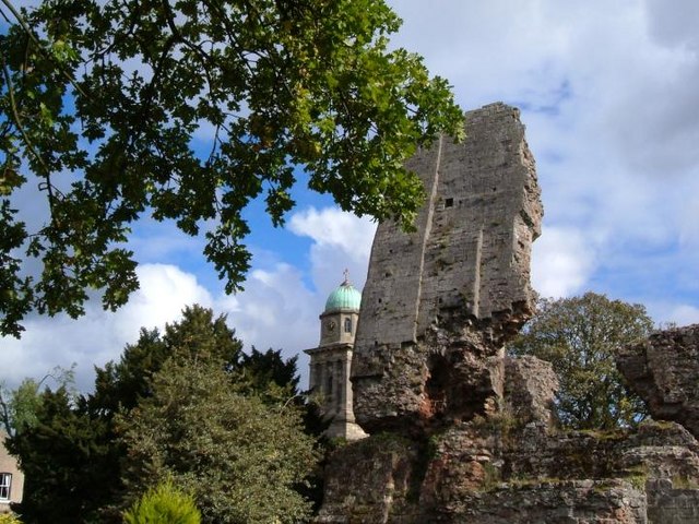
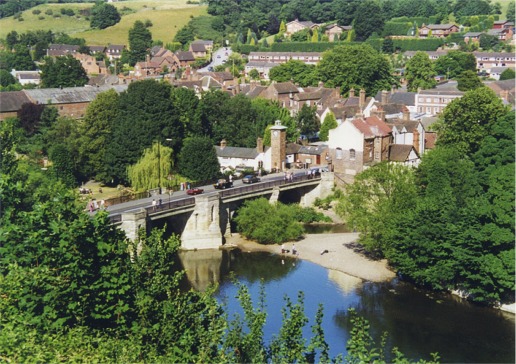
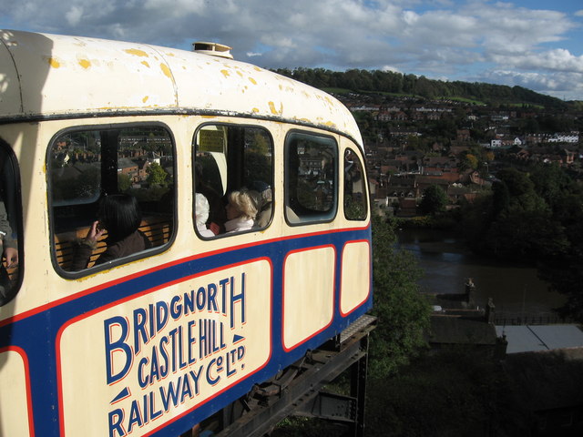
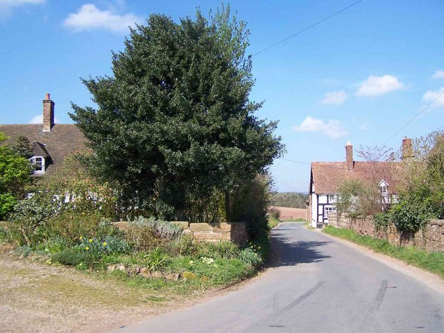
Bishop's Wood Images

Images are sourced within 2km of 52.548332/-2.4145976 or Grid Reference SO7194. Thanks to Geograph Open Source API. All images are credited.

Cliff Railway from Low Town to High Town, Bridgnorth, Shropshire
Bridgnorth: High Town This view of High Town from the bridge is situated in the south eastern section of the grid square. This square is largely town.
Bridgnorth: High Town
This view of High Town from the bridge is situated in the south eastern section of the grid square. This square is largely town.
Bridgnorth: High Rock The red sandstone rock overlooks the town of Bridgnorth and is situated in the northern section of the grid square.
Bridgnorth: High Rock
The red sandstone rock overlooks the town of Bridgnorth and is situated in the northern section of the grid square.
Bridgnorth: Marketplace This old building was the old market and is situated in the south eastern section of the grid square. The picture was taken from the south side of the building.
Bridgnorth: Marketplace
This old building was the old market and is situated in the south eastern section of the grid square. The picture was taken from the south side of the building.
Severn Bridge at Bridgnorth.
Low town, Bridgnorth.
River Severn to the north of Bridgnorth. Cemetery hill beyond.
River Severn to the north of Bridgnorth.
Cemetery hill beyond.
Bridgnorth Fire Station The title just about sums it up...
Bridgnorth Fire Station
The title just about sums it up...
Bridgnorth Hospital The current hospital commenced building in 1895 and opened in September 1897. Above the doorway is the inscription:
Beneficis Cvrantibvs
Aegrotantibvs Moritvris
Sit In Christo Pax
Gratia Fides Salvs.

Further information can be found at <span class="nowrap"><a title="http://johnwoodfield.co.uk/hospital.html" rel="nofollow ugc noopener" href="http://johnwoodfield.co.uk/hospital.html">Link</a><img style="margin-left:2px;" alt="External link" title="External link - shift click to open in new window" src="https://s1.geograph.org.uk/img/external.png" width="10" height="10"/></span>
Bridgnorth Hospital
The current hospital commenced building in 1895 and opened in September 1897. Above the doorway is the inscription: Beneficis Cvrantibvs Aegrotantibvs Moritvris Sit In Christo Pax Gratia Fides Salvs. Further information can be found at LinkExternal link
The Castle Keep, Bridgnorth, Shropshire This ruined castle keep, seen here looking across the recreation ground, was built between 1098 and 1101 by Robert de Belesme.
The Castle Keep, Bridgnorth, Shropshire
This ruined castle keep, seen here looking across the recreation ground, was built between 1098 and 1101 by Robert de Belesme.
Tower of Bridgnorth Castle keep Close up of tower remnant as seen in park.
Tower of Bridgnorth Castle keep
Close up of tower remnant as seen in park.
Hightown, Bridgnorth Looking west over the Severn valley to Bridgnorth.
Hightown, Bridgnorth
Looking west over the Severn valley to Bridgnorth.
Bridgnorth: Bishop Percy's House and Cartway Looking up Cartway from close to the River Severn. The impressive Bishop Percy's House was built in 1580 - "a first-rate example of black-and-white work" (Pevsner).
Bridgnorth: Bishop Percy's House and Cartway
Looking up Cartway from close to the River Severn. The impressive Bishop Percy's House was built in 1580 - "a first-rate example of black-and-white work" (Pevsner).
Pendlestone Mills Also known as Fort Pendlestone. Originally there was a corn mill on the site but this is a more recent cotton mill. It was originally water powered but was later supplemented by a vertical steam engine of Yorkshire build. The late George Watkins photographed this in 1953 but it's long gone. The Mills are rather fine but squeezed in beside the road and currently fenced off. Need I say they are being adaptively reused, although it seems to have been ongoing for a couple of years.
Pendlestone Mills
Also known as Fort Pendlestone. Originally there was a corn mill on the site but this is a more recent cotton mill. It was originally water powered but was later supplemented by a vertical steam engine of Yorkshire build. The late George Watkins photographed this in 1953 but it's long gone. The Mills are rather fine but squeezed in beside the road and currently fenced off. Need I say they are being adaptively reused, although it seems to have been ongoing for a couple of years.
Bridgnorth castle keep Remains of Bridgnorth castle keep with st Mary's in the background.
Bridgnorth castle keep
Remains of Bridgnorth castle keep with st Mary's in the background.
Low Town, Bridgnorth Compare this with Peter Ward's Aug. 1961 view <a title="https://www.geograph.org.uk/photo/87595" href="https://www.geograph.org.uk/photo/87595">Link</a> taken from what appears to be the same viewpoint.
Low Town, Bridgnorth
Compare this with Peter Ward's Aug. 1961 view Link taken from what appears to be the same viewpoint.
Bridgnorth Cliff Railway
Bromley
Bromley
Show me another place!

Bishop's Wood is located at Grid Ref: SO7194 (Lat: 52.548332, Lng: -2.4145976)

Unitary Authority: Shropshire

Police Authority: West Mercia

What 3 Words

///pelt.extra.stressed. Near Bridgnorth, Shropshire

Nearby Locations

Bishop's Wood

Related Wikis

River Worfe

The River Worfe is a river in Shropshire, England. The name Worfe is said to derive from the Old English meaning to wander (or meander) which the river...

Bridgnorth Endowed School

Bridgnorth Endowed School is a coeducational secondary school with academy status, located in the market town of Bridgnorth in the rural county of Shropshire...

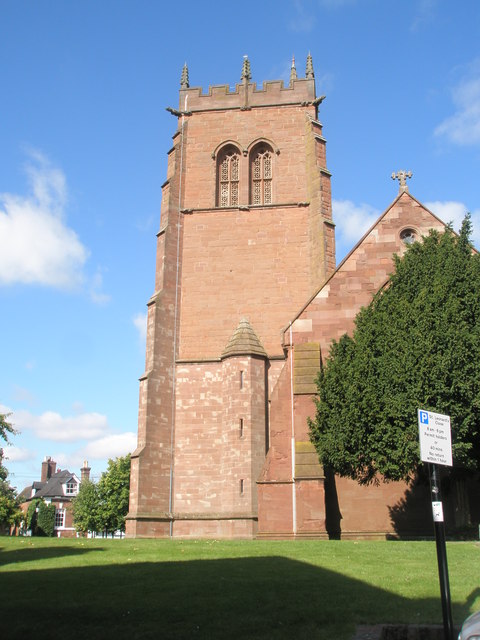
St Leonard's Church, Bridgnorth

St Leonard's Church is a redundant Anglican church in Bridgnorth, Shropshire, England. It is recorded in the National Heritage List for England as a designated...
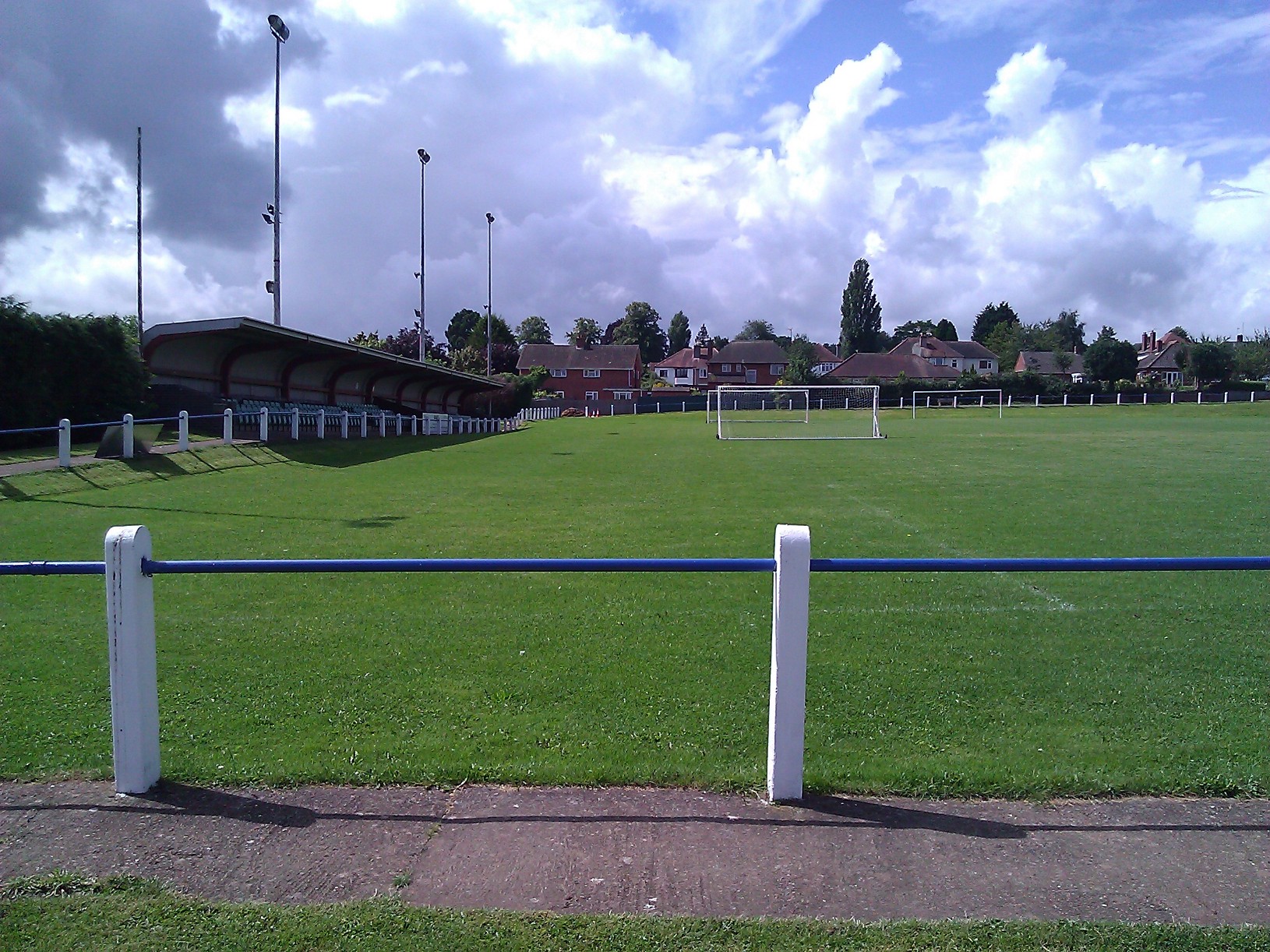
A.F.C. Bridgnorth

AFC Bridgnorth is a football club based in the town of Bridgnorth, Shropshire, England. They are currently members of the Midland League Division One and...

Nearby Amenities

Located within 500m of 52.548332,-2.4145976
Power: pole
Lat/Long: 52.5444786/-2.413339
Power: pole
Lat/Long: 52.545224/-2.4131486
Power: pole
Lat/Long: 52.5463952/-2.4090475
Power: pole
Lat/Long: 52.5462125/-2.4100077
Power: pole
Lat/Long: 52.54671/-2.4110726
Power: pole
Lat/Long: 52.5473004/-2.41236
Power: pole
Lat/Long: 52.545963/-2.4127972
Power: pole
Lat/Long: 52.5464425/-2.413736
Power: pole
Lat/Long: 52.5471243/-2.4151629
Power: pole
Lat/Long: 52.5477669/-2.4163592
Power: pole
Lat/Long: 52.5484715/-2.417711
Power: pole
Lat/Long: 52.5488565/-2.4183172
Power: pole
Lat/Long: 52.5495252/-2.4194813
The data included in this document is from www.openstreetmap.org. The data is made available under ODbL.

Have you been to Bishop's Wood?

Leave your review of Bishop's Wood below (or comments, questions and feedback).