Mill Rough
Wood, Forest in Worcestershire Malvern Hills
England
Mill Rough
Mill Rough is a picturesque woodland area located in Worcestershire, England. Known for its natural beauty and tranquil atmosphere, it is a popular destination for nature lovers and hikers alike. The woodland covers an expansive area and is characterized by its dense forestation and diverse range of tree species.
The woodland is home to a variety of wildlife, including deer, foxes, and a wide array of bird species, making it a haven for birdwatchers and wildlife enthusiasts. The serene environment of Mill Rough offers visitors the opportunity to immerse themselves in nature and observe the local flora and fauna in their natural habitat.
The woodland is crisscrossed by numerous walking trails and paths, making it an ideal location for leisurely walks and outdoor activities. These trails lead visitors through the heart of the forest, offering stunning views of the surrounding countryside and providing an opportunity to explore the hidden gems of the woodland.
Mill Rough is also known for its historical significance. The remains of an old mill can be found within the woodland, serving as a reminder of the area's industrial past. Visitors can explore these ruins and learn about the role the mill played in the local community.
Overall, Mill Rough is a captivating woodland area in Worcestershire, offering a peaceful retreat for those seeking to escape the hustle and bustle of everyday life. With its natural beauty, rich wildlife, and historical charm, it is a destination that appeals to both nature enthusiasts and history buffs alike.
If you have any feedback on the listing, please let us know in the comments section below.
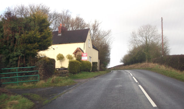
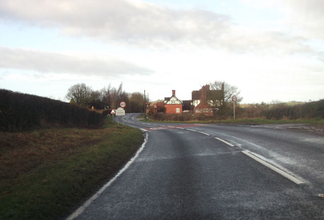
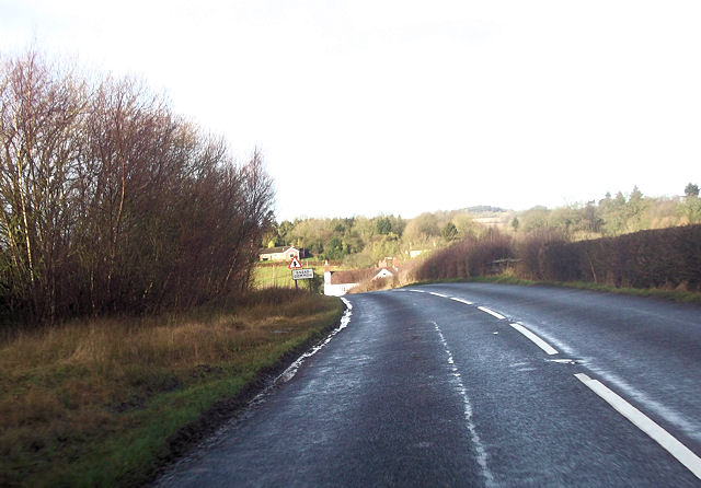
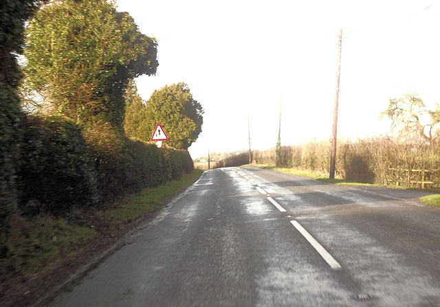
Mill Rough Images
Images are sourced within 2km of 52.317249/-2.4124481 or Grid Reference SO7168. Thanks to Geograph Open Source API. All images are credited.


Mill Rough is located at Grid Ref: SO7168 (Lat: 52.317249, Lng: -2.4124481)
Administrative County: Worcestershire
District: Malvern Hills
Police Authority: West Mercia
What 3 Words
///comedians.divided.tadpoles. Near Cleobury Mortimer, Shropshire
Nearby Locations
Related Wikis

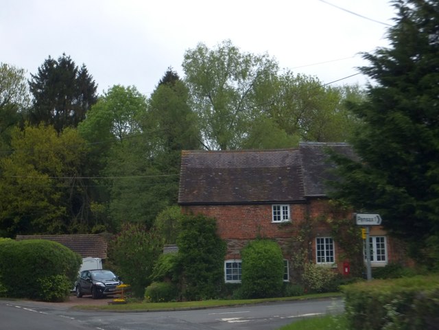
Pensax
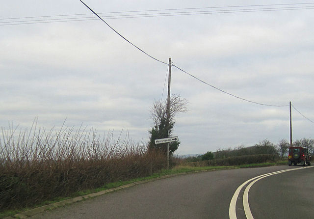
Pensax is a village and civil parish of northwest Worcestershire in England, incorporating the hamlet of Menithwood to the west of Pensax Common. According...

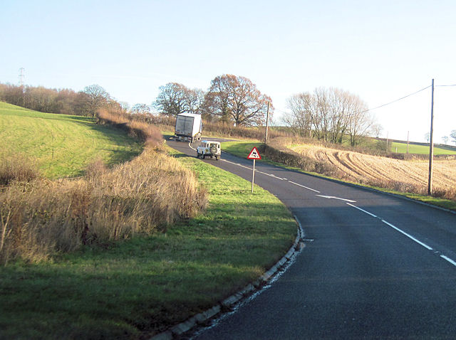
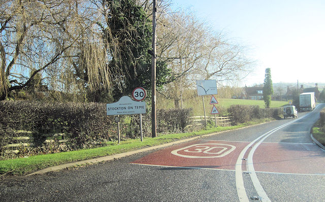
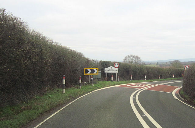
Stockton on Teme
Stockton on Teme is a village and civil parish in the Malvern Hills District in the county of Worcestershire, England. It is close to the River Teme and...

Hunthouse Wood
Hunthouse Wood is a nature reserve of the Worcestershire Wildlife Trust, situated near the villages of Clows Top and Mamble, in Worcestershire, England...
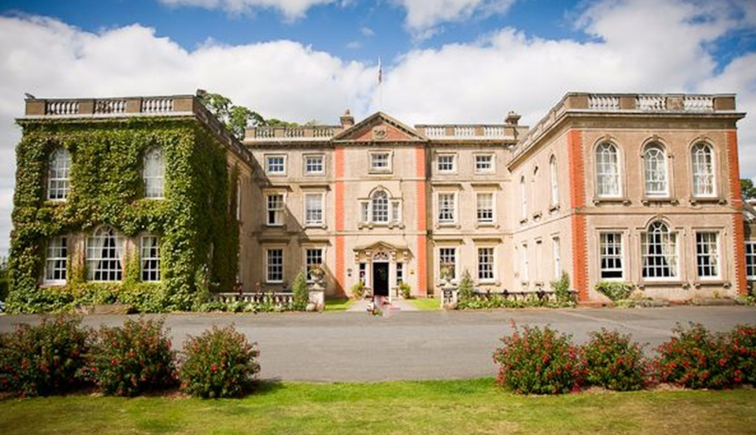
The Elms, Abberley
The Elms Hotel in Abberley, Worcestershire is a building of historical significance and is Grade II listed on the English Heritage Register. It was built...

Eardiston
Eardiston is a village in Worcestershire, England. The village of Eardiston lies in the valley of the river Teme between Great Witley and Tenbury Wells...

Rock moated site and medieval village
Rock moated site and medieval village is an archaeological site, including a deserted medieval village, in Worcestershire, England, near the village of...

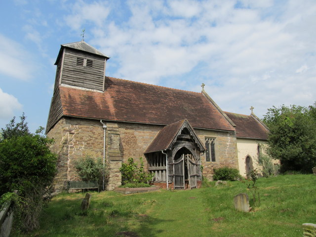
Church of St Peter and St Paul, Rock
The Church of St Peter and St Paul is an Anglican church in the village of Rock, in Worcestershire, England. It is in the parish of Rock with Heightington...
Rock, Worcestershire
Rock is a village and civil parish in the Wyre Forest District of Worcestershire, England, which lies south-west of Bewdley. It had a population of 2,366...
Nearby Amenities
Located within 500m of 52.317249,-2.4124481Have you been to Mill Rough?
Leave your review of Mill Rough below (or comments, questions and feedback).