Jacob's Wood

Wood, Forest in Worcestershire Malvern Hills

England

Jacob's Wood

Teme Valley Looking South east from above Dumbleton Farm
Teme Valley Credit: Richard Greenwood

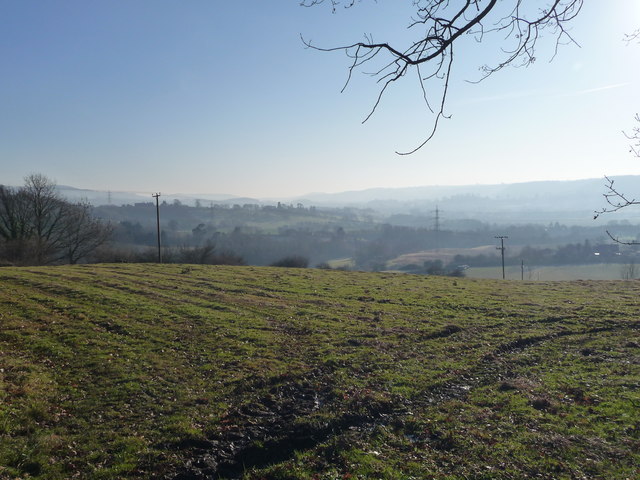
Jacob's Wood is a dense forest located in Worcestershire, England. Spanning over a vast area, it is renowned for its majestic woodland and rich biodiversity. The wood is nestled within the picturesque landscape of Worcestershire, providing a tranquil retreat for nature enthusiasts and visitors alike.

Covering an extensive range of habitats, Jacob's Wood offers a diverse ecosystem that supports a wide variety of flora and fauna. The forest boasts towering oak and beech trees, creating a dense canopy that filters sunlight and casts enchanting shadows on the forest floor. These trees are complemented by an array of smaller shrubs and plants, contributing to the wood's vibrant and colorful undergrowth.

The woodland is home to various wildlife species, making it a haven for nature lovers and birdwatchers. Visitors may be lucky enough to spot native woodland birds such as woodpeckers, owls, and thrushes, or catch a glimpse of elusive mammals like deer and foxes. The forest also houses a diverse insect population, with butterflies and beetles adding splashes of color to the woodland landscape.

Jacob's Wood is a popular destination for outdoor activities, offering numerous trails and paths for hikers and cyclists to explore. These pathways wind through the forest, allowing visitors to immerse themselves in the natural beauty of Worcestershire. Additionally, the wood provides picnic areas and designated camping spots, enabling families and camping enthusiasts to enjoy overnight stays in this idyllic setting.

Overall, Jacob's Wood is a captivating forest in Worcestershire, offering a unique opportunity to experience the tranquility of nature and witness the beauty of a thriving woodland ecosystem.

If you have any feedback on the listing, please let us know in the comments section below.
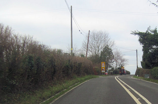
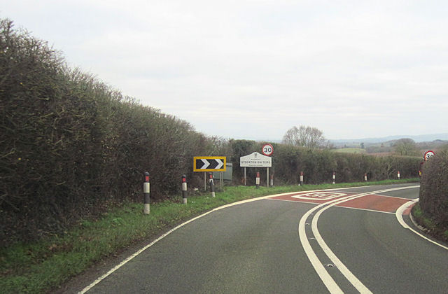
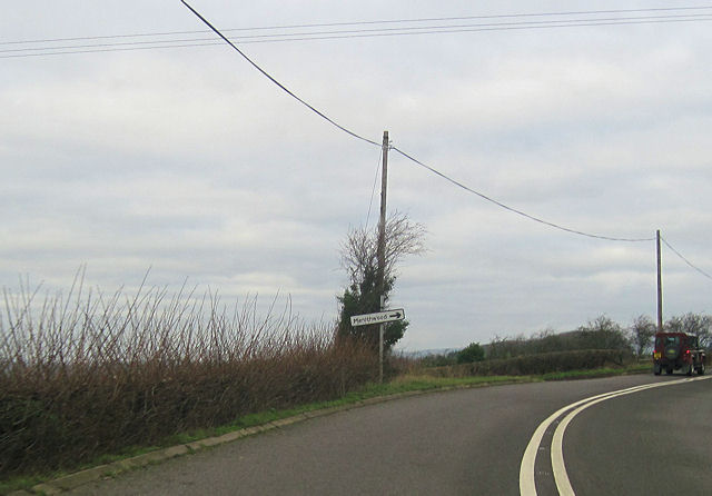
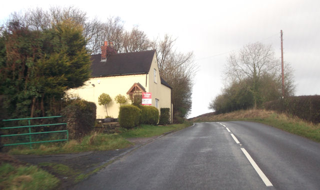
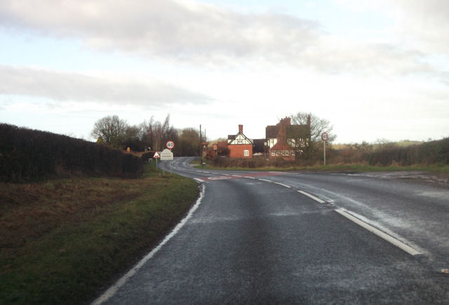
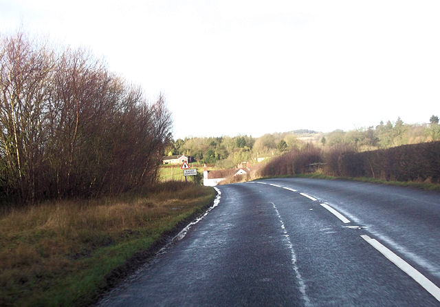
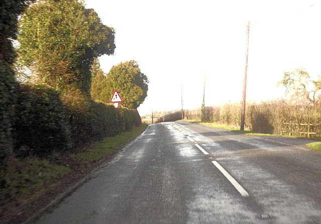
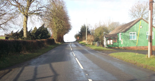
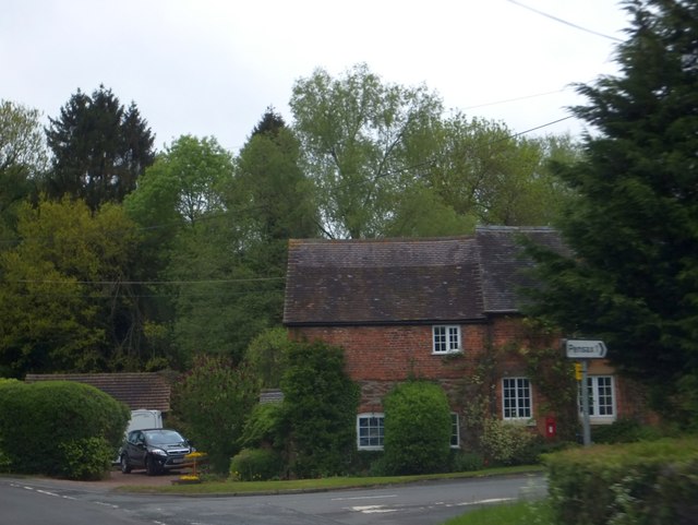
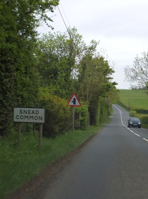
Jacob's Wood Images

Images are sourced within 2km of 52.316128/-2.4143301 or Grid Reference SO7168. Thanks to Geograph Open Source API. All images are credited.

Teme Valley Looking South east from above Dumbleton Farm
Teme Valley
Looking South east from above Dumbleton Farm
St Andrew’s Church, Stockton on Theme, Worcestershire The church was built in the twelfth century on the site of an older Saxon church. The timber porch was added in the fourteenth century with buttresses to spread the load of the bell tower. In 1718 the chancel fell down and was re-built in brick. The church was restored in 1845 and 1898 but keeping its fourteenth century appearance.
St Andrew’s Church, Stockton on Theme, Worcestershire
The church was built in the twelfth century on the site of an older Saxon church. The timber porch was added in the fourteenth century with buttresses to spread the load of the bell tower. In 1718 the chancel fell down and was re-built in brick. The church was restored in 1845 and 1898 but keeping its fourteenth century appearance.
Double bend on A443 near The Lowe Farm Just west of Stockton on Teme looking towards the east
Double bend on A443 near The Lowe Farm
Just west of Stockton on Teme looking towards the east
Running into Stockton on Teme From A443 eastbound
Running into Stockton on Teme
From A443 eastbound
A443 at Elms Green Looking west
A443 at Elms Green
Looking west
Stockton on Teme from the east Entering on the A443
Stockton on Teme from the east
Entering on the A443
Large lay by on westbound A443 Just west of Lowgreen cottage
Large lay by on westbound A443
Just west of Lowgreen cottage
Stockton on Teme west of Aniceford house Westbound A443
Stockton on Teme west of Aniceford house
Westbound A443
A443 approaching Menithwood turn off
Lilac Cottage on B4202 South of Pensax
Lilac Cottage on B4202
South of Pensax
Entering Pensax from the south The building ahead is The Bell
Entering Pensax from the south
The building ahead is The Bell
Running into Snead Common on B4202
Approaching the School From the entrance to The Snead on B4202
Approaching the School
From the entrance to The Snead on B4202
B4202 at Pensax Village Hall
Road to Pensax, east of Stockton-on-Teme
Snead Common The turning on the left leads to further houses in this small settlement.  There are several behind the hedges on the left of the B4202
Snead Common
The turning on the left leads to further houses in this small settlement. There are several behind the hedges on the left of the B4202
Junction in Snead Common The road on the left leads to further houses and farms.  Opposite are two rights-of-way along tracks to other farms
Junction in Snead Common
The road on the left leads to further houses and farms. Opposite are two rights-of-way along tracks to other farms
Lay-by and speed derestriction south of Snead Common
Show me another place!

Jacob's Wood is located at Grid Ref: SO7168 (Lat: 52.316128, Lng: -2.4143301)

Administrative County: Worcestershire

District: Malvern Hills

Police Authority: West Mercia

What 3 Words

///airbag.deflation.magazines. Near Cleobury Mortimer, Shropshire

Related Wikis

Pensax

Pensax is a village and civil parish of northwest Worcestershire in England, incorporating the hamlet of Menithwood to the west of Pensax Common. According...
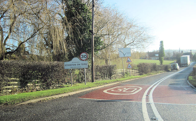
Stockton on Teme

Stockton on Teme is a village and civil parish in the Malvern Hills District in the county of Worcestershire, England. It is close to the River Teme and...

Hunthouse Wood

Hunthouse Wood is a nature reserve of the Worcestershire Wildlife Trust, situated near the villages of Clows Top and Mamble, in Worcestershire, England...

The Elms, Abberley

The Elms Hotel in Abberley, Worcestershire is a building of historical significance and is Grade II listed on the English Heritage Register. It was built...

Nearby Amenities

Located within 500m of 52.316128,-2.4143301
Barrier: stile
Material: wood
Stile: stepover
Lat/Long: 52.3180494/-2.4144302
Crossing: informal
Lat/Long: 52.3178487/-2.4085318
Post Box
Collection Times: Mo-Fr 16:00; Sa 12:00
Ref: None
Royal Cypher: EIIR
Lat/Long: 52.3185541/-2.4099954
Barrier: stile
Material: wood
Stile: stepover
Lat/Long: 52.3166193/-2.4169385
Barrier: stile
Material: wood
Stile: stepover
Lat/Long: 52.3183925/-2.4134195
Barrier: stile
Material: wood
Stile: stepover
Lat/Long: 52.3134482/-2.4157504
Barrier: stile
Material: wood
Stile: stepover
Lat/Long: 52.3156117/-2.4093157
Barrier: stile
Material: wood
Stile: stepover
Lat/Long: 52.3154543/-2.4085218
Barrier: stile
Material: wood
Stile: stepover
Lat/Long: 52.314637/-2.4194685
Yeldons Farm
Power: pole
Transformer: distribution
Voltage Primary: 11000
Lat/Long: 52.3138646/-2.4193633
Power: pole
Lat/Long: 52.314268/-2.4205428
Power: pole
Lat/Long: 52.3194222/-2.4126001
Power: pole
Lat/Long: 52.3192164/-2.4137373
Power: pole
Lat/Long: 52.3193221/-2.4131513
Ryefield Cottage
Power: pole
Transformer: distribution
Voltage Primary: 11000
Lat/Long: 52.3190049/-2.4149014
Power: pole
Lat/Long: 52.319118/-2.4142657
Power: pole
Lat/Long: 52.3195181/-2.4120381
Power: pole
Lat/Long: 52.3196082/-2.4115406
Power: pole
Lat/Long: 52.319746/-2.4107762
Power: pole
Lat/Long: 52.3191869/-2.4100319
Pensax C of E School
Power: pole
Transformer: distribution
Voltage Primary: 11000
Lat/Long: 52.3176072/-2.4087136
Power: pole
Lat/Long: 52.3182474/-2.4087578
Pensax Common
Power: pole
Transformer: distribution
Voltage Primary: 11000
Lat/Long: 52.3188819/-2.4095893
The data included in this document is from www.openstreetmap.org. The data is made available under ODbL.

Have you been to Jacob's Wood?

Leave your review of Jacob's Wood below (or comments, questions and feedback).