Radner's Covert
Wood, Forest in Shropshire
England
Radner's Covert
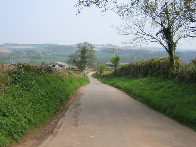
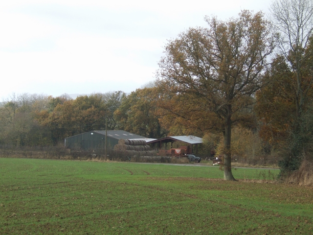
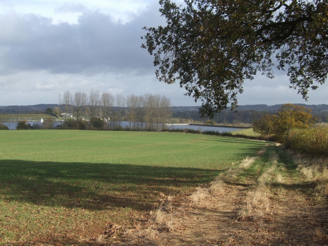
Radner's Covert is a picturesque woodland area located in the county of Shropshire, England. Nestled amongst the rolling hills and rural landscape, this enchanting forest covers a vast expanse of approximately 100 acres. It is situated near the small village of Radner, which adds to its charm and seclusion.
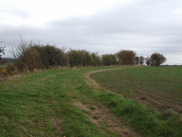
The woodland is known for its diverse range of trees, including oak, beech, and birch, creating a rich and vibrant canopy that provides shelter for a wide array of wildlife. The forest floor is carpeted with a lush undergrowth of ferns, mosses, and wildflowers, adding to the natural beauty of the area.
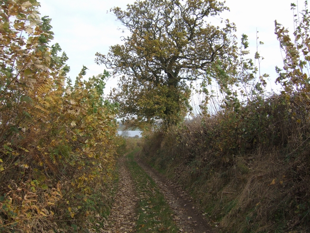
Radner's Covert is a haven for nature enthusiasts, offering numerous walking trails that wind through the woods, allowing visitors to immerse themselves in the tranquility of the surroundings. These paths lead to hidden clearings and meandering streams, providing opportunities for peaceful picnics or simply appreciating the serene atmosphere.
The forest is also home to a diverse range of wildlife, including deer, foxes, badgers, and a variety of bird species. Birdwatchers can spot woodpeckers, owls, and other woodland birds, making it a popular spot for ornithologists and nature photographers.
The management of Radner's Covert is overseen by the local conservation trust, ensuring the preservation of its natural beauty and wildlife. The woodland is open to the public throughout the year, allowing visitors to experience the changing seasons and witness the vibrant colors of autumn or the fresh growth of spring.
In summary, Radner's Covert in Shropshire is a captivating woodland retreat that offers visitors a chance to escape into nature, explore its diverse flora and fauna, and enjoy the tranquility of this idyllic forest setting.
If you have any feedback on the listing, please let us know in the comments section below.
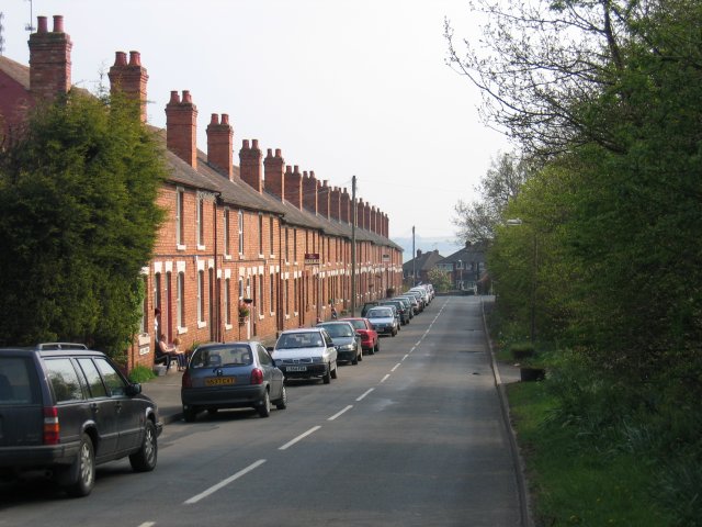
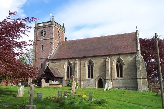
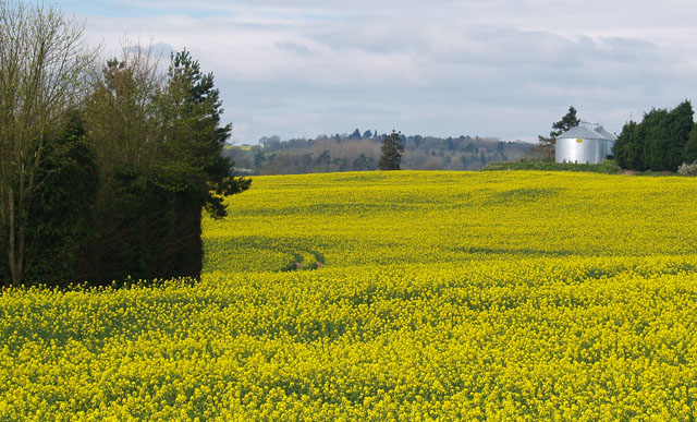
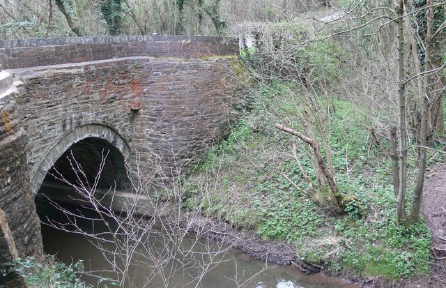
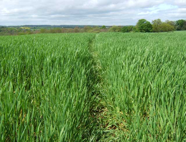
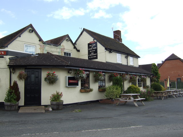
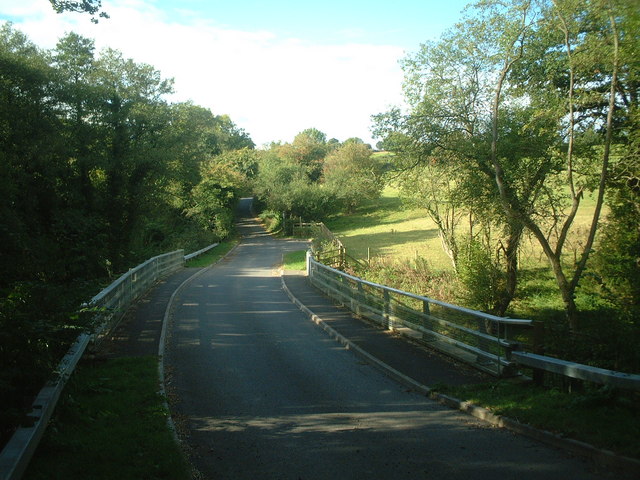
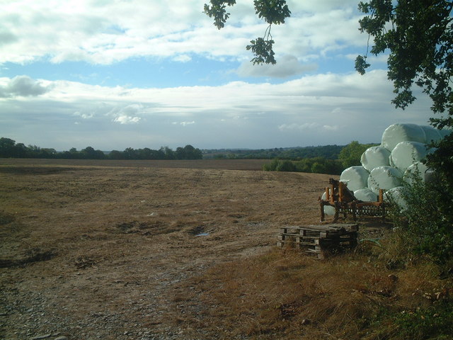
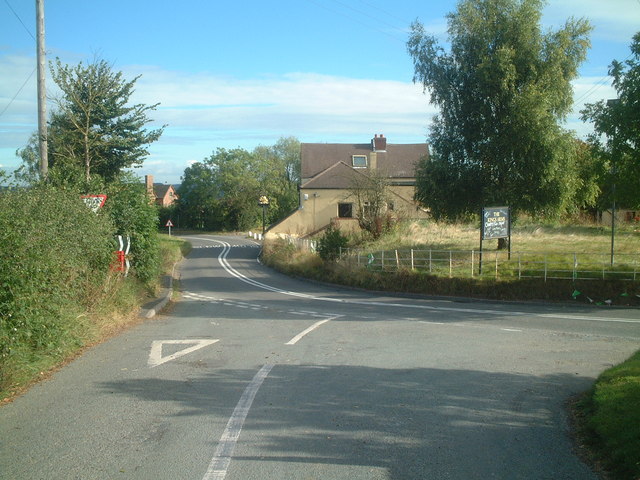
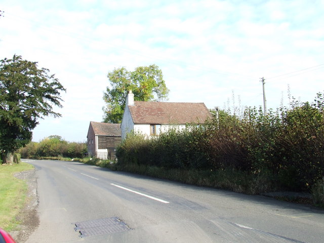
Radner's Covert Images
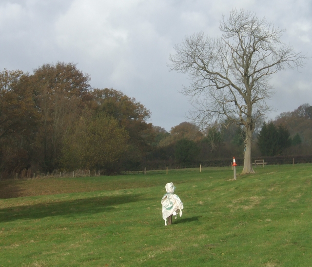
Images are sourced within 2km of 52.468001/-2.4136948 or Grid Reference SO7185. Thanks to Geograph Open Source API. All images are credited.

Radner's Covert is located at Grid Ref: SO7185 (Lat: 52.468001, Lng: -2.4136948)
Unitary Authority: Shropshire
Police Authority: West Mercia
What 3 Words
///bagpipes.badly.apron. Near Highley, Shropshire
Nearby Locations
Related Wikis

Billingsley, Shropshire
Billingsley is a small village and civil parish in Shropshire, England. It is located 6 miles (9.7 km) south of Bridgnorth and lies in the diocese of Hereford...

New England Countryside Sites
New England countryside site is an historic site in Shropshire, United Kingdom, of the former village of New England. It is located between the villages...

St Peter's Church, Chelmarsh
St Peter's Church is in the village of Chelmarsh, Shropshire, England. It is an active Anglican parish church in the deanery of Bridgnorth, the archdeaconry...
Chelmarsh
Chelmarsh is a village and civil parish in the English county of Shropshire. It lies 4 miles south of Bridgnorth on the B4555 road to Highley. == Notable... ==
Have you been to Radner's Covert?
Leave your review of Radner's Covert below (or comments, questions and feedback).