Lower Coppice
Wood, Forest in Shropshire
England
Lower Coppice
Lower Coppice is a beautiful wood located in the county of Shropshire, England. Covering an area of approximately 100 acres, it is part of the larger Clun Forest and is known for its diverse range of tree species and tranquil atmosphere.
The wood is primarily composed of deciduous trees, including oak, ash, and beech, which create a stunning tapestry of colors during the autumn months. Additionally, there are areas of coniferous trees such as pine and spruce, providing a contrasting greenery throughout the year. The dense canopy of the wood provides shade and shelter for a variety of wildlife, including birds, small mammals, and insects.
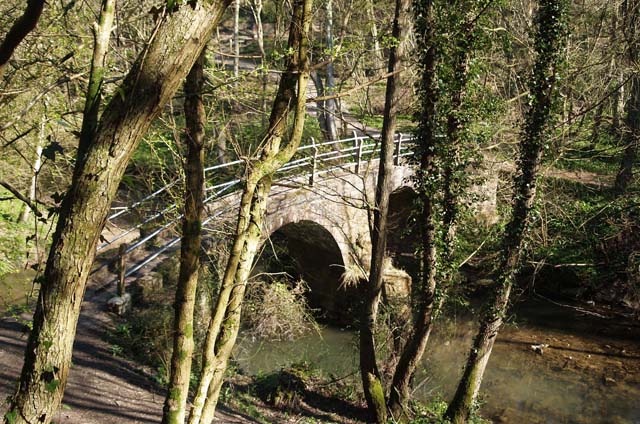
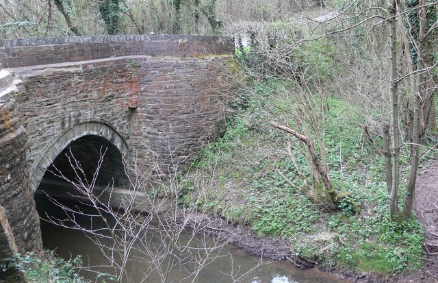
Lower Coppice is crisscrossed by a network of walking trails, making it a popular destination for nature enthusiasts and hikers. These trails offer visitors the opportunity to explore the wood's diverse flora and fauna while enjoying the peaceful ambiance of the forest. The wood is also home to several picturesque streams and ponds, adding to its natural beauty.
For those interested in the history of the area, Lower Coppice has a rich heritage. It was once part of the ancient hunting ground of Clun Forest and has been managed sustainably for centuries. The wood is now owned and maintained by a local conservation organization, ensuring its continued preservation and protection for future generations to enjoy.
Overall, Lower Coppice is a true gem of Shropshire, offering a tranquil escape from the hustle and bustle of everyday life. With its diverse range of trees, abundance of wildlife, and scenic walking trails, it is a must-visit destination for nature lovers and those seeking a peaceful retreat in the heart of the English countryside.
If you have any feedback on the listing, please let us know in the comments section below.
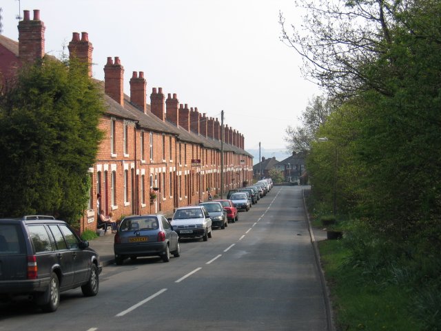
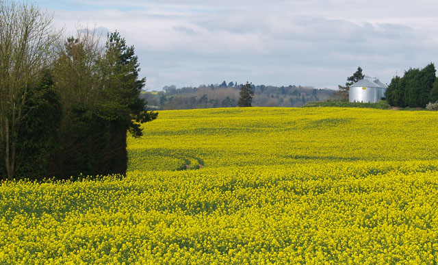
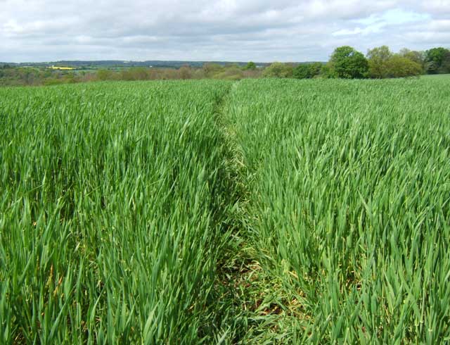
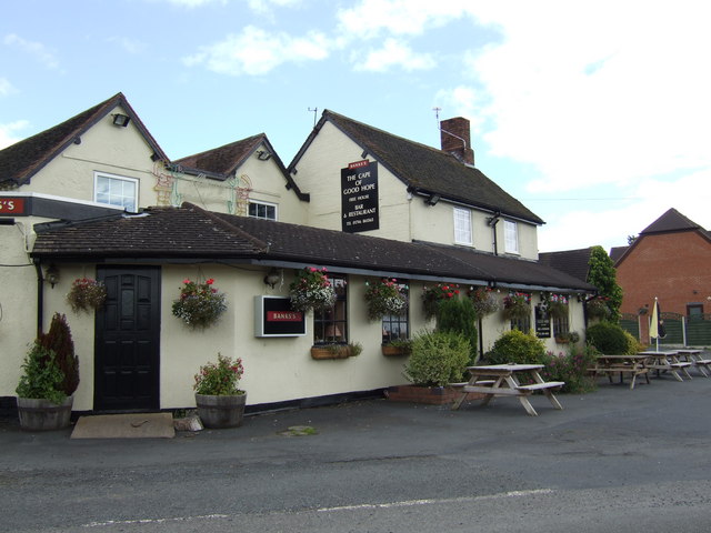
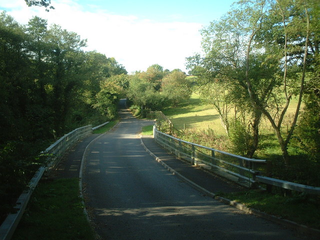
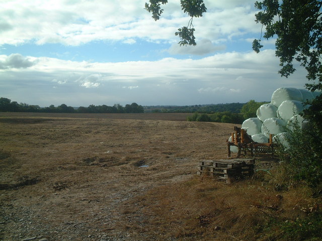
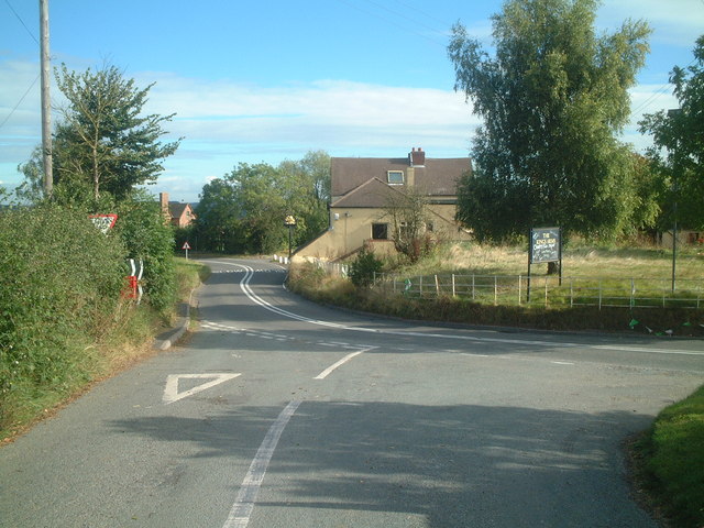
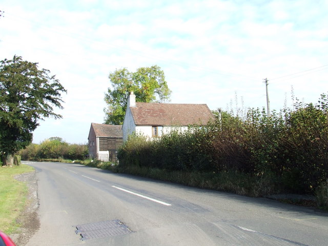
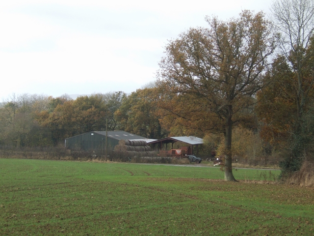
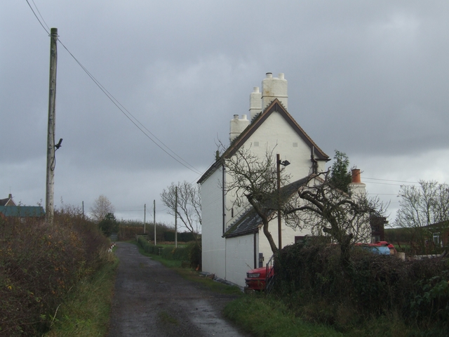
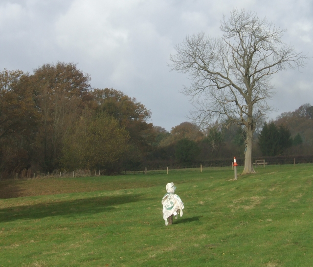
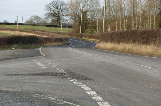
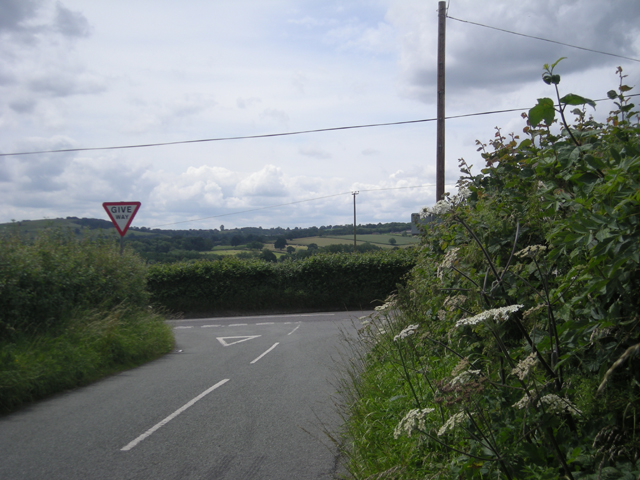
Lower Coppice Images
Images are sourced within 2km of 52.465009/-2.4156685 or Grid Reference SO7185. Thanks to Geograph Open Source API. All images are credited.


Lower Coppice is located at Grid Ref: SO7185 (Lat: 52.465009, Lng: -2.4156685)
Unitary Authority: Shropshire
Police Authority: West Mercia
What 3 Words
///operation.tribe.health. Near Highley, Shropshire
Nearby Locations
Related Wikis

Billingsley, Shropshire
Billingsley is a small village and civil parish in Shropshire, England. It is located 6 miles (9.7 km) south of Bridgnorth and lies in the diocese of Hereford...

New England Countryside Sites
New England countryside site is an historic site in Shropshire, United Kingdom, of the former village of New England. It is located between the villages...

St Peter's Church, Chelmarsh
St Peter's Church is in the village of Chelmarsh, Shropshire, England. It is an active Anglican parish church in the deanery of Bridgnorth, the archdeaconry...
Chelmarsh
Chelmarsh is a village and civil parish in the English county of Shropshire. It lies 4 miles south of Bridgnorth on the B4555 road to Highley. == Notable... ==
Have you been to Lower Coppice?
Leave your review of Lower Coppice below (or comments, questions and feedback).