Longley Wood

Wood, Forest in Somerset Mendip

England

Longley Wood

Direction Sign – Signpost on the B3139, Frome Road, A366 and A362 crossroads in Hemington parish Located on the west side of the crossroads of the B3139, Frome Road, A366 and A362 in Hemington parish. 6 arms and lost finial.

Milestone Society National ID: SO_ST7153
Direction Sign – Signpost on the B3139, Frome Road, A366 and A362 crossroads in Hemington parish Credit: J Dowding

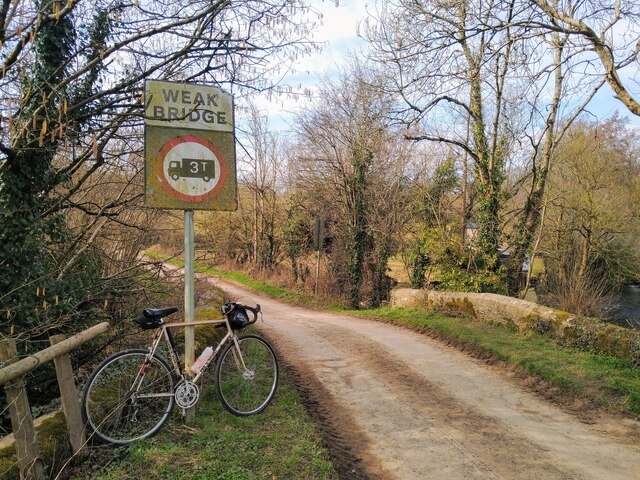
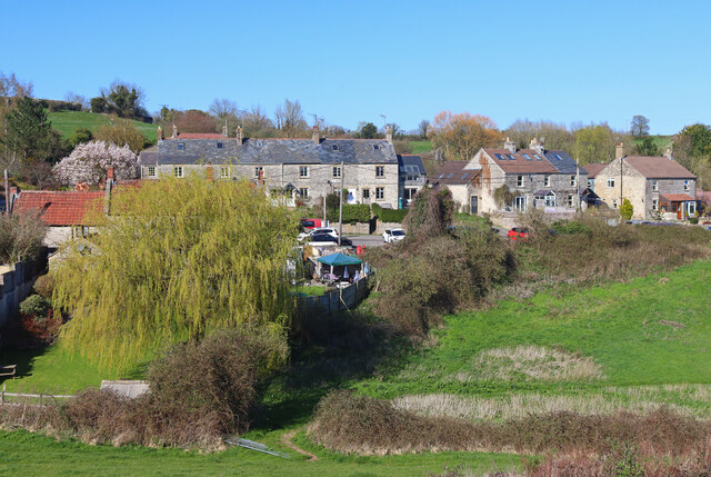
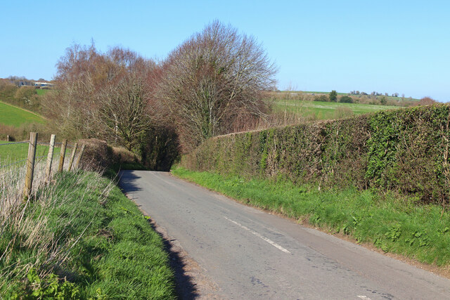
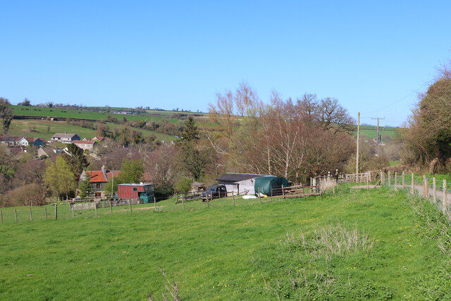
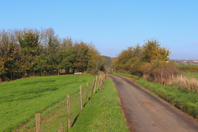
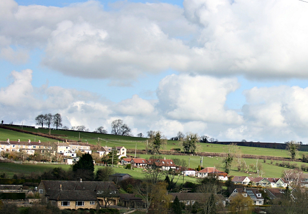
Longley Wood is a charming woodland located in Somerset, England. With its picturesque beauty and serene atmosphere, it has become a popular destination for nature enthusiasts and tourists alike. Spread across an expansive area, the wood is a rich tapestry of diverse flora and fauna.

The woodland is predominantly composed of deciduous trees, including oak, beech, and ash, which create a stunning canopy of green during the summer months. In autumn, the wood transforms into a kaleidoscope of vibrant colors as the leaves change, making it a sight to behold. The forest floor is carpeted with a variety of wildflowers and ferns, adding to its enchanting appeal.

Longley Wood is teeming with wildlife, providing a haven for numerous species. Birdwatchers can spot a wide range of avian residents, such as woodpeckers, nuthatches, and tawny owls. Squirrels, badgers, and deer are also commonly seen within the wood, adding to the sense of natural wonder.

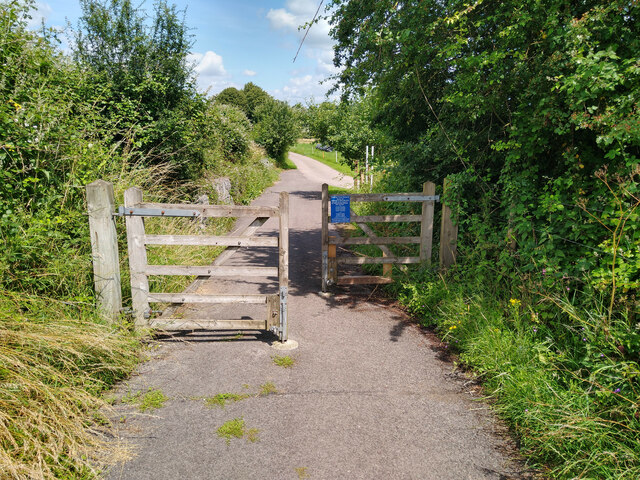
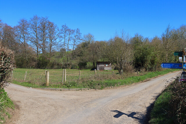
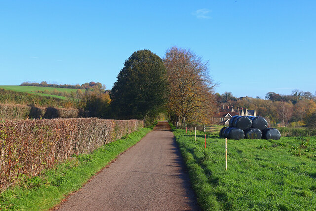
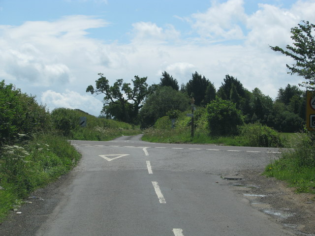
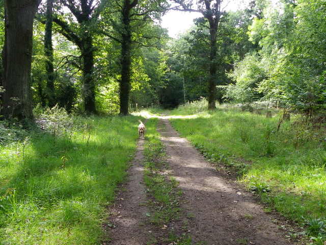
Several walking trails wind through the wood, offering visitors the opportunity to explore its beauty at their own pace. These paths lead to secluded clearings, where one can relax and enjoy a picnic amidst the tranquility of nature. The wood is also home to a small stream, adding to its charm and providing a peaceful soundtrack for those seeking solace.

Longley Wood is a haven for nature lovers, providing a respite from the hustle and bustle of everyday life. Its breathtaking beauty and diverse wildlife make it a must-visit destination in Somerset.

If you have any feedback on the listing, please let us know in the comments section below.

Longley Wood Images

Images are sourced within 2km of 51.291504/-2.4049358 or Grid Reference ST7154. Thanks to Geograph Open Source API. All images are credited.

Direction Sign – Signpost on the B3139, Frome Road, A366 and A362 crossroads in Hemington parish Located on the west side of the crossroads of the B3139, Frome Road, A366 and A362 in Hemington parish. 6 arms and lost finial.

Milestone Society National ID: SO_ST7153
Direction Sign – Signpost on the B3139, Frome Road, A366 and A362 crossroads in Hemington parish
Located on the west side of the crossroads of the B3139, Frome Road, A366 and A362 in Hemington parish. 6 arms and lost finial. Milestone Society National ID: SO_ST7153
Barrier Chicane on Colliers Way NCN24 Photograph of wooden barrier chicane on Colliers Way NCN24 between Radstock and Shooscombe.
Spacing between the gates is over 1m.
Path surface here is tarmac in generally good condition.
Barrier Chicane on Colliers Way NCN24
Photograph of wooden barrier chicane on Colliers Way NCN24 between Radstock and Shooscombe. Spacing between the gates is over 1m. Path surface here is tarmac in generally good condition.
Millennium Milepost on Colliers Way NCN24 at Writhlington Sustrans Millennium Milepost on the Colliers Way NCN24 just outside Writhlington, showing mileage to Frome, Radstock, Bath, and Wellow.
Path surface here is tarmac in generally good condition.
Millennium Milepost on Colliers Way NCN24 at Writhlington
Sustrans Millennium Milepost on the Colliers Way NCN24 just outside Writhlington, showing mileage to Frome, Radstock, Bath, and Wellow. Path surface here is tarmac in generally good condition.
Plaque on Colliers Way NCN24 Memorial Plaque on Bridge 35 if the former Somerset & Dorset Railway, now NCN24.
The bridge carries the path over Church Hill near Shoscombe.
NCN24 here is a tarmac path in good condition.
Plaque on Colliers Way NCN24
Memorial Plaque on Bridge 35 if the former Somerset & Dorset Railway, now NCN24. The bridge carries the path over Church Hill near Shoscombe. NCN24 here is a tarmac path in good condition.
Bridge over the Wellow Brook in Shoscombe Stone built road bridge at the foot of Dairy Hill in Shoscombe, crossing the Wellow Brook.  Photograph taken looking north over the bridge.
Bridge over the Wellow Brook in Shoscombe
Stone built road bridge at the foot of Dairy Hill in Shoscombe, crossing the Wellow Brook. Photograph taken looking north over the bridge.
Road Junction Dairy Hill and Littleton Lane road junction.
Road Junction
Dairy Hill and Littleton Lane road junction.
View over Shoscombe Looking across the field towards Shoscombe.
View over Shoscombe
Looking across the field towards Shoscombe.
Green Street Looking down the hill towards Shoscombe.
Green Street
Looking down the hill towards Shoscombe.
St James' Church Church of St James the Less, Foxcote.
St James' Church
Church of St James the Less, Foxcote.
Farm near Wellow Brook Near Rectory Farm.
Farm near Wellow Brook
Near Rectory Farm.
Wellow Brook Seen from the road bridge at Single Hill.
Wellow Brook
Seen from the road bridge at Single Hill.
Old Milestone by A366, North of Hemington, just West of Crossroads The Milestone is located on grass verge on the South of the road.  Parish of Hemington (Mendip District). Metal plate attached to stone post, Radstock iron plate design, erected by the Radstock turnpike trust in the 18th century, top right corner of plate gone; chips on top left of stone. An earlier photograph can be found here: <a title="https://www.geograph.org.uk/photo/6035396" href="https://www.geograph.org.uk/photo/6035396">Link</a> 

Inscription reads:-  
RADSTOCK / 3 / P. NORTON / 3   

Grade II listed. List Entry Number: 1408656 <span class="nowrap"><a title="https://historicengland.org.uk/listing/the-list/list-entry/1408656" rel="nofollow ugc noopener" href="https://historicengland.org.uk/listing/the-list/list-entry/1408656">Link</a><img style="margin-left:2px;" alt="External link" title="External link - shift click to open in new window" src="https://s1.geograph.org.uk/img/external.png" width="10" height="10"/></span> 

Milestone Society National ID: SO_FRPN11
Old Milestone by A366, North of Hemington, just West of Crossroads
The Milestone is located on grass verge on the South of the road.  Parish of Hemington (Mendip District). Metal plate attached to stone post, Radstock iron plate design, erected by the Radstock turnpike trust in the 18th century, top right corner of plate gone; chips on top left of stone. An earlier photograph can be found here: Link  Inscription reads:- RADSTOCK / 3 / P. NORTON / 3 Grade II listed. List Entry Number: 1408656 LinkExternal link Milestone Society National ID: SO_FRPN11
Gassons Country lane and footpath near Shoscombe.
Gassons
Country lane and footpath near Shoscombe.
Near Foxcote View along the lane near Paglinch Farm.
Near Foxcote
View along the lane near Paglinch Farm.
Country Lane Minor road near Writhlington.
Country Lane
Minor road near Writhlington.
Road from Foxcote meets the A366
Track, Napp Wood The woodland, part of the Ammerdown Estate is open for the public.
Track, Napp Wood
The woodland, part of the Ammerdown Estate is open for the public.
'Pines Express' Relief nearing Shoscombe & Single Hill Halt View NE, towards Bath on the Somerset & Dorset line to Bournemouth. The 10.20 Liverpool (Lime St.) to Bournemouth West is following 25 minutes behind the main train, headed by LMS Fowler 7F 2-8-0 No. 53807 piloting SR Bulleid Light Pacific No. 34040 'Crewkerne' (built 9/46 as 21C140, rebuilt 10/60, withdrawn 7/67).
'Pines Express' Relief nearing Shoscombe & Single Hill Halt
View NE, towards Bath on the Somerset & Dorset line to Bournemouth. The 10.20 Liverpool (Lime St.) to Bournemouth West is following 25 minutes behind the main train, headed by LMS Fowler 7F 2-8-0 No. 53807 piloting SR Bulleid Light Pacific No. 34040 'Crewkerne' (built 9/46 as 21C140, rebuilt 10/60, withdrawn 7/67).
Show me another place!

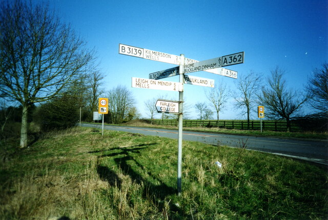
Longley Wood is located at Grid Ref: ST7154 (Lat: 51.291504, Lng: -2.4049358)

Administrative County: Somerset

District: Mendip

Police Authority: Avon and Somerset

What 3 Words

///hippy.march.carbonate. Near Peasedown St John, Somerset

Related Wikis

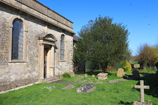
Church of St James The Less, Foxcote

The Anglican Church of St James The Less in Foxcote, within the English county of Somerset, was rebuilt in the early 18th century incorporating a 15th...

Shoscombe and Single Hill Halt railway station

Shoscombe & Single Hill Halt was a small railway station on the Somerset and Dorset Joint Railway serving small villages between Wellow and Radstock, about...

Radstock rail accident

The Radstock rail accident took place on the Somerset and Dorset Joint Railway in south west England, on 7 August 1876. Two trains collided on a single...

Shoscombe

Shoscombe is a small village and civil parish in the valley of the Wellow Brook in north-east Somerset, about 7 miles (11 km) south of Bath, England. The...

Writhlington SSSI

Writhlington SSSI (grid reference ST703553) is a 0.5 hectare geological Site of Special Scientific Interest near the town of Radstock, Bath and North East...

Hemington, Somerset

Hemington is a village and civil parish 5.5 miles (8.9 km) north west of Frome, in the Mendip district of Somerset, England. It is located just off the...

Writhlington School

Writhlington School is a secondary school for pupils aged 11–18 in Writhlington, Bath and North East Somerset, England. It is the main secondary school...

Writhlington

Writhlington is a suburb of Radstock and 6 miles (10 km) north-west of Frome in the Bath and North East Somerset district of Somerset, England. == History... ==

Nearby Amenities

Located within 500m of 51.291504,-2.4049358
Generator Method: wind_turbine
Generator Source: wind
Power: generator
Lat/Long: 51.293092/-2.4057748
Rockly Ford
Place: hamlet
Lat/Long: 51.2901703/-2.3983786
Power: pole
Lat/Long: 51.2953694/-2.4031854
Power: pole
Lat/Long: 51.2936361/-2.4016849
Power: pole
Lat/Long: 51.2945018/-2.4024444
Power: pole
Lat/Long: 51.2929223/-2.4010975
Power: pole
Lat/Long: 51.2922144/-2.4004701
Power: pole
Lat/Long: 51.2914858/-2.3998461
Power: pole
Transformer: distribution
Lat/Long: 51.2907335/-2.3992105
Power: pole
Lat/Long: 51.2929516/-2.39981
Power: pole
Lat/Long: 51.2929613/-2.3985553
Direction: 140
Generator Method: photovoltaic
Generator Output Electricity: yes
Generator Solar Modules: 21
Generator Source: solar
Generator Type: solar_photovoltaic_panel
Location: roof
Power: generator
Lat/Long: 51.2940375/-2.4050378
The data included in this document is from www.openstreetmap.org. The data is made available under ODbL.

Have you been to Longley Wood?

Leave your review of Longley Wood below (or comments, questions and feedback).