Haywood Wood

Wood, Forest in Somerset Mendip

England

Haywood Wood

Direction Sign – Signpost on the B3139 in Kilmersdon parish Located on the west side of the junction of the B3139 and Knobsbury Hill in Kilmersdon parish. 4 arms and pyramid finial.

Milestone Society National ID: SO_ST7052B
Direction Sign – Signpost on the B3139 in Kilmersdon parish Credit: J Dowding

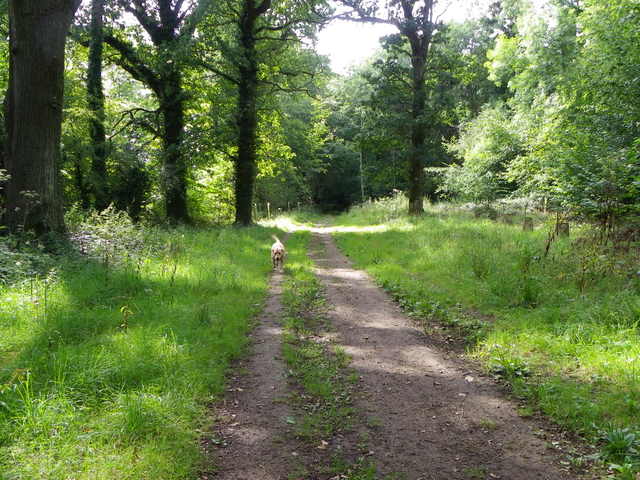
Haywood Wood, Somerset, also known as Wood Forest, is a picturesque and ancient woodland located in the southwestern region of England. It covers an area of approximately 200 acres and is situated near the village of Haywood, within the Mendip Hills Area of Outstanding Natural Beauty. The woodland is primarily composed of native broadleaf trees such as oak, beech, ash, and hazel, providing a diverse and rich habitat for a wide range of flora and fauna.

Haywood Wood has a long history dating back centuries, with evidence of human activity in the area since prehistoric times. The woodland has been managed for centuries, and remnants of ancient boundaries, ditches, and earthworks can still be observed today.

Visitors to Haywood Wood can enjoy a tranquil and serene environment, surrounded by the beauty of nature. The woodland offers numerous walking trails and paths, allowing visitors to explore its hidden corners and discover its many treasures. Birdwatchers will be delighted to find a variety of bird species, including woodpeckers, owls, and various songbirds.

The woodland also serves as an important habitat for a range of woodland mammals, such as badgers, foxes, and deer. In spring, the forest floor comes alive with a vibrant display of bluebells and other wildflowers, creating a colorful and enchanting spectacle.

Haywood Wood, Somerset, is not only a place of natural beauty, but it also provides a valuable ecological and recreational resource for the local community and visitors alike.

If you have any feedback on the listing, please let us know in the comments section below.
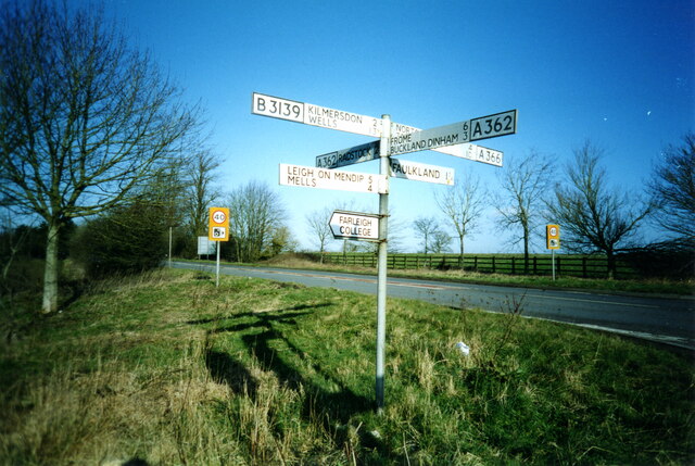
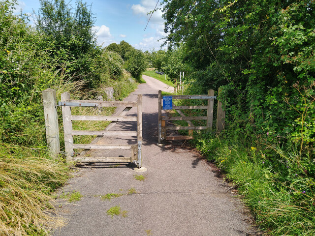
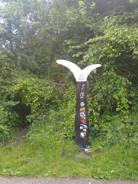
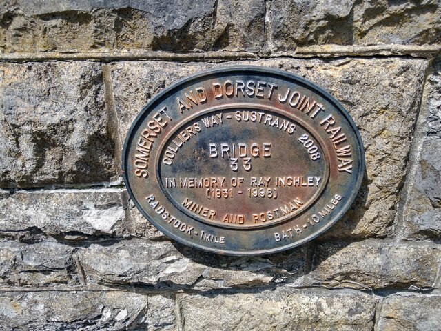
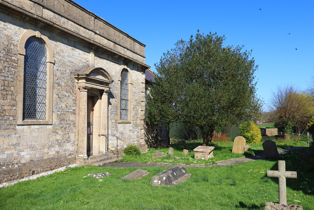
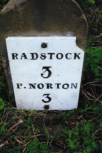
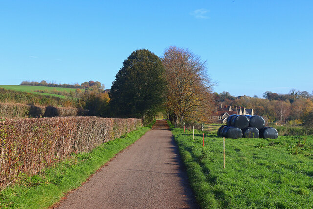
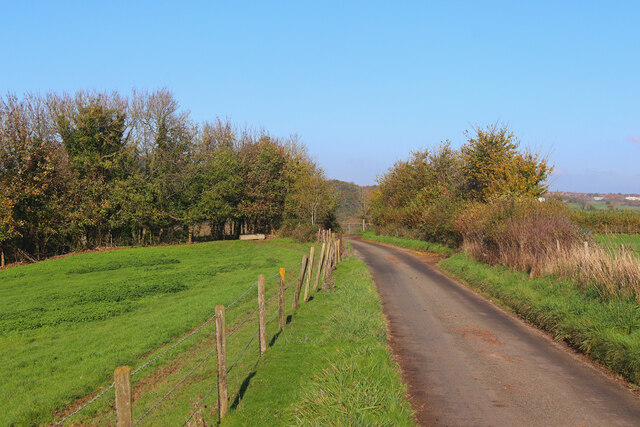
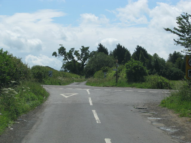
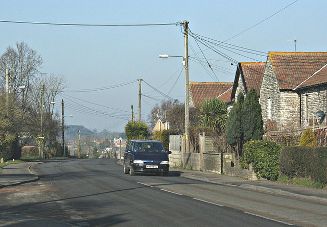
Haywood Wood Images

Images are sourced within 2km of 51.284529/-2.4120438 or Grid Reference ST7154. Thanks to Geograph Open Source API. All images are credited.

Direction Sign – Signpost on the B3139 in Kilmersdon parish Located on the west side of the junction of the B3139 and Knobsbury Hill in Kilmersdon parish. 4 arms and pyramid finial.

Milestone Society National ID: SO_ST7052B
Direction Sign – Signpost on the B3139 in Kilmersdon parish
Located on the west side of the junction of the B3139 and Knobsbury Hill in Kilmersdon parish. 4 arms and pyramid finial. Milestone Society National ID: SO_ST7052B
Direction Sign – Signpost on the B3139, Frome Road, A366 and A362 crossroads in Hemington parish Located on the west side of the crossroads of the B3139, Frome Road, A366 and A362 in Hemington parish. 6 arms and lost finial.

Milestone Society National ID: SO_ST7153
Direction Sign – Signpost on the B3139, Frome Road, A366 and A362 crossroads in Hemington parish
Located on the west side of the crossroads of the B3139, Frome Road, A366 and A362 in Hemington parish. 6 arms and lost finial. Milestone Society National ID: SO_ST7153
Barrier Chicane on Colliers Way NCN24 Photograph of wooden barrier chicane on Colliers Way NCN24 between Radstock and Shooscombe.
Spacing between the gates is over 1m.
Path surface here is tarmac in generally good condition.
Barrier Chicane on Colliers Way NCN24
Photograph of wooden barrier chicane on Colliers Way NCN24 between Radstock and Shooscombe. Spacing between the gates is over 1m. Path surface here is tarmac in generally good condition.
Millennium Milepost on Colliers Way NCN24 at Writhlington Sustrans Millennium Milepost on the Colliers Way NCN24 just outside Writhlington, showing mileage to Frome, Radstock, Bath, and Wellow.
Path surface here is tarmac in generally good condition.
Millennium Milepost on Colliers Way NCN24 at Writhlington
Sustrans Millennium Milepost on the Colliers Way NCN24 just outside Writhlington, showing mileage to Frome, Radstock, Bath, and Wellow. Path surface here is tarmac in generally good condition.
Plaque on Colliers Way NCN24 Memorial Plaque on Bridge 35 if the former Somerset & Dorset Railway, now NCN24.
The bridge carries the path over Church Hill near Shoscombe.
NCN24 here is a tarmac path in good condition.
Plaque on Colliers Way NCN24
Memorial Plaque on Bridge 35 if the former Somerset & Dorset Railway, now NCN24. The bridge carries the path over Church Hill near Shoscombe. NCN24 here is a tarmac path in good condition.
St James' Church Church of St James the Less, Foxcote.
St James' Church
Church of St James the Less, Foxcote.
Old Milestone by A366, North of Hemington, just West of Crossroads The Milestone is located on grass verge on the South of the road.  Parish of Hemington (Mendip District). Metal plate attached to stone post, Radstock iron plate design, erected by the Radstock turnpike trust in the 18th century, top right corner of plate gone; chips on top left of stone. An earlier photograph can be found here: <a title="https://www.geograph.org.uk/photo/6035396" href="https://www.geograph.org.uk/photo/6035396">Link</a> 

Inscription reads:-  
RADSTOCK / 3 / P. NORTON / 3   

Grade II listed. List Entry Number: 1408656 <span class="nowrap"><a title="https://historicengland.org.uk/listing/the-list/list-entry/1408656" rel="nofollow ugc noopener" href="https://historicengland.org.uk/listing/the-list/list-entry/1408656">Link</a><img style="margin-left:2px;" alt="External link" title="External link - shift click to open in new window" src="https://s1.geograph.org.uk/img/external.png" width="10" height="10"/></span> 

Milestone Society National ID: SO_FRPN11
Old Milestone by A366, North of Hemington, just West of Crossroads
The Milestone is located on grass verge on the South of the road.  Parish of Hemington (Mendip District). Metal plate attached to stone post, Radstock iron plate design, erected by the Radstock turnpike trust in the 18th century, top right corner of plate gone; chips on top left of stone. An earlier photograph can be found here: Link  Inscription reads:- RADSTOCK / 3 / P. NORTON / 3 Grade II listed. List Entry Number: 1408656 LinkExternal link Milestone Society National ID: SO_FRPN11
Gassons Country lane and footpath near Shoscombe.
Gassons
Country lane and footpath near Shoscombe.
Near Foxcote View along the lane near Paglinch Farm.
Near Foxcote
View along the lane near Paglinch Farm.
Country Lane Minor road near Writhlington.
Country Lane
Minor road near Writhlington.
Road from Foxcote meets the A366
Track, Napp Wood The woodland, part of the Ammerdown Estate is open for the public.
Track, Napp Wood
The woodland, part of the Ammerdown Estate is open for the public.
Blessed Virgin Mary, Hemington
The former church of St Mary Magdalene, Writhlington
Fir Tree benchmark A cutmark, as listed in the Benchmark Database: <span class="nowrap"><a title="http://www.bench-marks.org.uk/bm57966" rel="nofollow ugc noopener" href="http://www.bench-marks.org.uk/bm57966">Link</a><img style="margin-left:2px;" alt="External link" title="External link - shift click to open in new window" src="https://s1.geograph.org.uk/img/external.png" width="10" height="10"/></span> , on the former Fir Tree Inn at Writhlington. See <a href="https://www.geograph.org.uk/photo/4022331">ST7054 : Fallen timber</a> for a wider view of this empty public house.
Fir Tree benchmark
A cutmark, as listed in the Benchmark Database: LinkExternal link , on the former Fir Tree Inn at Writhlington. See ST7054 : Fallen timber for a wider view of this empty public house.
Fallen timber The former Fir Tree Inn at Writhlington, now closed and looking forlorn. It dates back to 1832 and is believed to be named after a local tree (a 'holy elm') where seats were arranged around its base and the locals used to meet and socialise. The inn was a popular and active place for many groups and organisations; however, it also had its darker side when a poor coal haulier was murdered by three others; one of the accused was acquitted, another transported but the other hanged.

The present building is Grade II listed, but owners Pegasus Planning Group want to convert it into residential use. However, the inn has now lain empty for a few years now.

See <a href="https://www.geograph.org.uk/photo/4022321">ST7054 : Fir Tree benchmark</a> for a benchmark on the far right corner.
Fallen timber
The former Fir Tree Inn at Writhlington, now closed and looking forlorn. It dates back to 1832 and is believed to be named after a local tree (a 'holy elm') where seats were arranged around its base and the locals used to meet and socialise. The inn was a popular and active place for many groups and organisations; however, it also had its darker side when a poor coal haulier was murdered by three others; one of the accused was acquitted, another transported but the other hanged. The present building is Grade II listed, but owners Pegasus Planning Group want to convert it into residential use. However, the inn has now lain empty for a few years now. See ST7054 : Fir Tree benchmark for a benchmark on the far right corner.
Collieries flowerpot Writhlington, in common with many villages in the North Somerset coalfields, has little left of its industrial heritage. Also in common, an old piece of ironmongery is placed to remind people of the legacy. Playing fields are in the background.
Collieries flowerpot
Writhlington, in common with many villages in the North Somerset coalfields, has little left of its industrial heritage. Also in common, an old piece of ironmongery is placed to remind people of the legacy. Playing fields are in the background.
House Under View of 'house' constructed at Shoscombe and Single Hill Halt, Shoscombe Vale, under the former Somerset & Dorset Railway viaduct, near Peasdown St John, Bath
House Under
View of 'house' constructed at Shoscombe and Single Hill Halt, Shoscombe Vale, under the former Somerset & Dorset Railway viaduct, near Peasdown St John, Bath
Show me another place!

Haywood Wood is located at Grid Ref: ST7154 (Lat: 51.284529, Lng: -2.4120438)

Administrative County: Somerset

District: Mendip

Police Authority: Avon and Somerset

What 3 Words

///lobby.strapped.dunk. Near Radstock, Somerset

Related Wikis

Writhlington School

Writhlington School is a secondary school for pupils aged 11–18 in Writhlington, Bath and North East Somerset, England. It is the main secondary school...

Ammerdown House, Kilmersdon

Ammerdown House in Kilmersdon, Somerset, England, was built in 1788. It has been designated as Grade I listed building.It was built as a country house...

Writhlington

Writhlington is a suburb of Radstock and 6 miles (10 km) north-west of Frome in the Bath and North East Somerset district of Somerset, England. == History... ==

Church of St James The Less, Foxcote

The Anglican Church of St James The Less in Foxcote, within the English county of Somerset, was rebuilt in the early 18th century incorporating a 15th...

Hemington, Somerset

Hemington is a village and civil parish 5.5 miles (8.9 km) north west of Frome, in the Mendip district of Somerset, England. It is located just off the...

Writhlington SSSI

Writhlington SSSI (grid reference ST703553) is a 0.5 hectare geological Site of Special Scientific Interest near the town of Radstock, Bath and North East...

St Mary's Church, Hemington

St. Mary's Hemington is an Anglican church in Hemington, Somerset, England. The Norman church underwent major renovation in the 14th, 15th, 17th and 19th...

Huish Colliery Quarry

Huish Colliery Quarry (grid reference ST695542) is a 0.8 hectare geological Site of Special Scientific Interest near the town of Radstock, Bath and North...

Have you been to Haywood Wood?

Leave your review of Haywood Wood below (or comments, questions and feedback).